Pound Green Common
Downs, Moorland in Staffordshire Wyre Forest
England
Pound Green Common
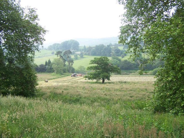
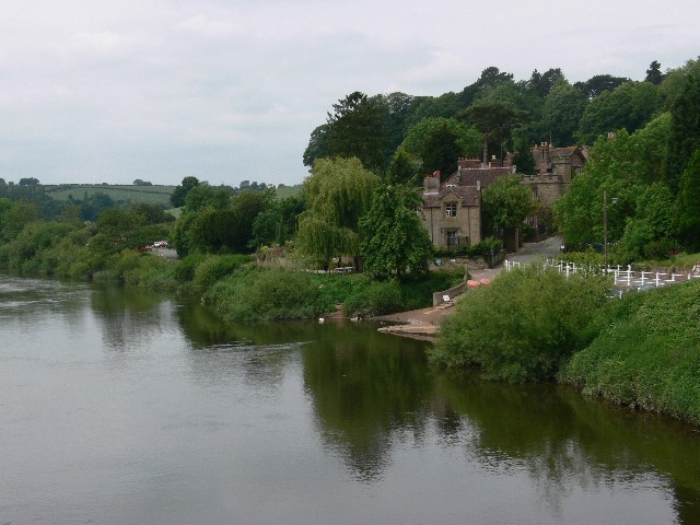
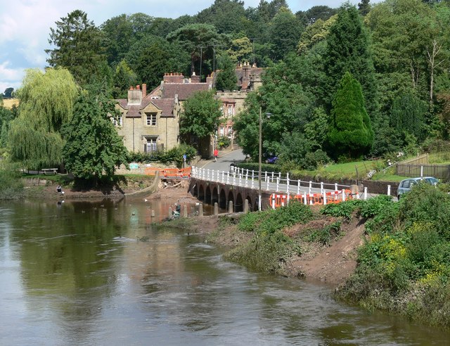
Pound Green Common is a vast expanse of open land located in Staffordshire, England. This common is situated in the heart of the county, offering a picturesque setting for nature lovers and outdoor enthusiasts alike. Covering an area of approximately 500 acres, the common is a combination of downs and moorland, providing a diverse and unique landscape.
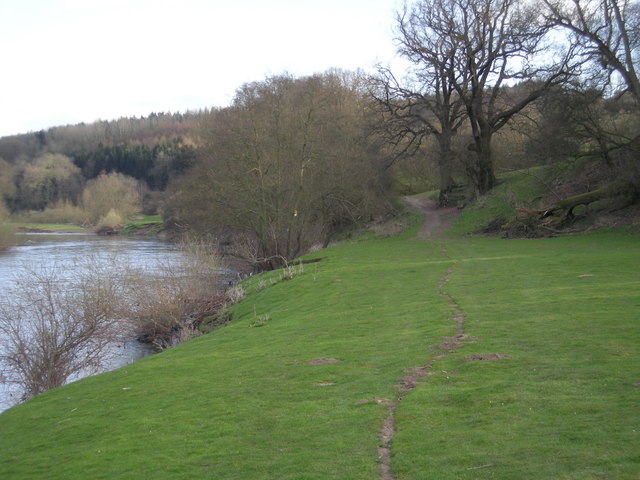
The downs of Pound Green Common are characterized by their gently rolling hills and expansive grasslands. These downs create a serene and peaceful atmosphere, making it an ideal spot for leisurely walks and picnics. The lush greenery is dotted with an array of wildflowers, adding bursts of color to the landscape during the spring and summer months.
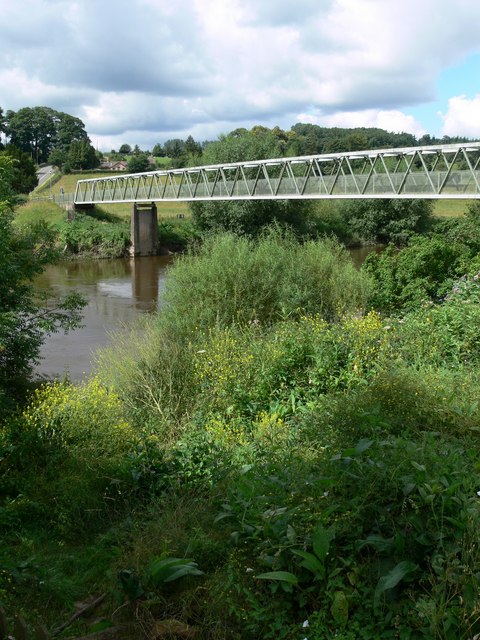
In contrast, the moorland section of the common showcases a more rugged and untamed environment. Here, visitors can witness the beauty of heather-covered hills and rocky outcrops. The moorland is perfect for hikers and nature enthusiasts seeking a more challenging terrain to explore.
Pound Green Common is also home to a diverse range of wildlife. Birdwatchers can spot various species, including skylarks, kestrels, and buzzards soaring overhead. Additionally, the common is inhabited by rabbits, foxes, and deer, providing ample opportunities for wildlife observation.
Overall, Pound Green Common is a haven for those seeking an escape from the hustle and bustle of everyday life. Its combination of downs and moorland, along with its abundant wildlife, make it a destination that offers both tranquility and adventure.
If you have any feedback on the listing, please let us know in the comments section below.
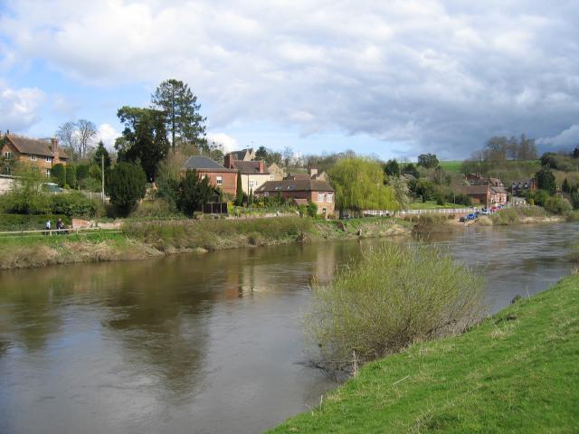
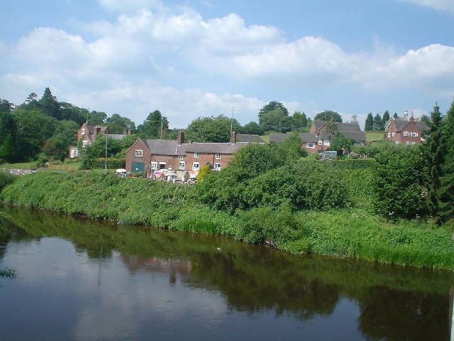
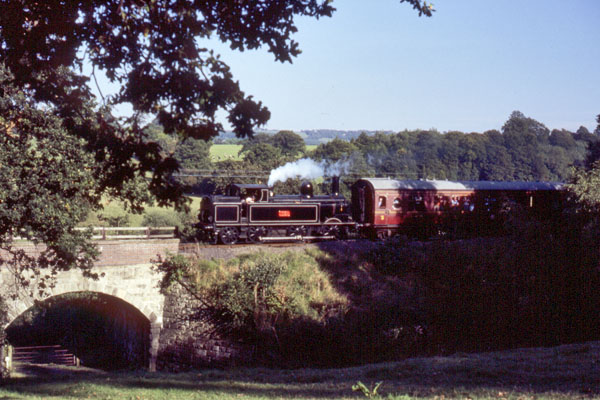
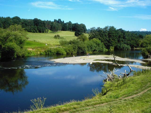
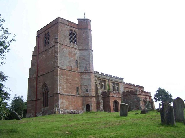
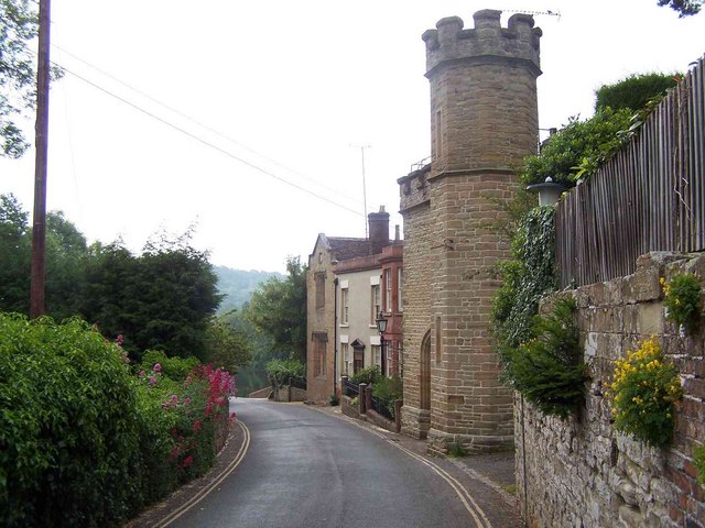
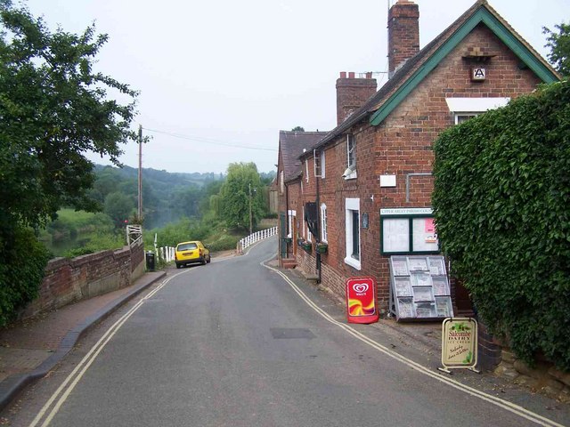
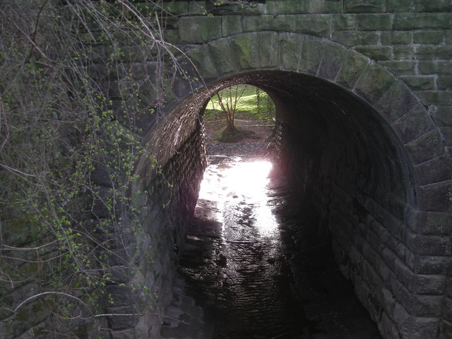
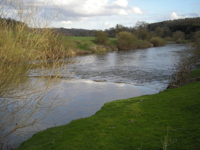
Pound Green Common Images
Images are sourced within 2km of 52.407834/-2.3630773 or Grid Reference SO7578. Thanks to Geograph Open Source API. All images are credited.


Pound Green Common is located at Grid Ref: SO7578 (Lat: 52.407834, Lng: -2.3630773)
Administrative County: Worcestershire
District: Wyre Forest
Police Authority: West Mercia
What 3 Words
///slows.crafts.bloom. Near Bewdley, Worcestershire
Nearby Locations
Related Wikis

Pound Green
Pound Green is a hamlet in Upper Arley, Worcestershire, England. It has a number of tourist landmarks such as Ye Olde New Inn and a village hall that also...

Button Oak
Button Oak is a small village in the English county of Shropshire, England. It is 3 miles north west of Bewdley. Button Oak is very similar to nearby...

Victoria Bridge, Worcestershire
The Victoria Bridge crosses the River Severn between Arley and Bewdley in Worcestershire, England. At the time of its construction, the 200-foot railway...

Arley railway station
Arley railway station is a station on the Severn Valley Railway heritage line in Worcestershire, situated just over the River Severn from the village of...

Upper Arley
Upper Arley (grid reference SO765805) is a village and civil parish near Kidderminster in the Wyre Forest District of Worcestershire, England. Historically...

Shatterford Hill
Shatterford Hill is an English geographical feature that extends from Bewdley in north Worcestershire to Birdsgreen near Alveley, just over the border...

Arley House and Gardens
Arley House and Gardens are situated at Upper Arley, about 4 miles (6.4 km) north-west of Bewdley, in Worcestershire, England. The gardens, arboretum and...

Coppicegate
Coppicegate is a small settlement in Shropshire, England. It is beside the Wyre Forest and is 10 kilometres (6 mi) northwest of Kidderminster. == External... ==
Nearby Amenities
Located within 500m of 52.407834,-2.3630773Have you been to Pound Green Common?
Leave your review of Pound Green Common below (or comments, questions and feedback).