Hacker Gill Wood

Wood, Forest in Yorkshire South Lakeland

England

Hacker Gill Wood

Cowgill Bridge The road is the route from Dent to Garsdale Head. The bridge crosses the Cowgill Beck, and though modest in appearance, dates from 1702 and is grade II listed (list entry 1383839).
Cowgill Bridge Credit: Stephen Craven

Gill Wood, Yorkshire, also known as Wood Forest, is a beautiful natural reserve located in the county of Yorkshire, England. Covering an area of approximately 500 acres, this woodland is renowned for its picturesque landscapes, diverse wildlife, and rich history.

The forest is predominantly composed of native broadleaf trees, including oak, beech, and ash, creating a dense canopy that provides shelter and habitat for a wide range of plant and animal species. Visitors to Gill Wood can enjoy peaceful walks along the well-maintained trails, immersing themselves in the tranquil atmosphere and taking in the breathtaking scenery.

The woodland is home to a variety of wildlife, including deer, badgers, foxes, and numerous species of birds. Nature enthusiasts and birdwatchers will delight in the opportunity to spot rare and migratory birds, such as woodpeckers, owls, and warblers, among others.

In addition to its natural beauty, Gill Wood holds historical significance. It is believed to have been part of the ancient Forest of Galtres, which was once a royal hunting ground. Remnants of this historical legacy can still be found within the forest, including old boundary walls, ditches, and earthworks.

Gill Wood, Yorkshire, offers a peaceful retreat for those seeking solace in nature. Whether it's a leisurely stroll, birdwatching, or exploring its historical remnants, this woodland reserve provides a captivating experience for visitors of all ages.

If you have any feedback on the listing, please let us know in the comments section below.

Hacker Gill Wood Images

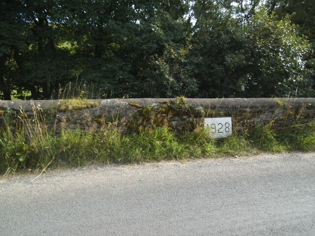
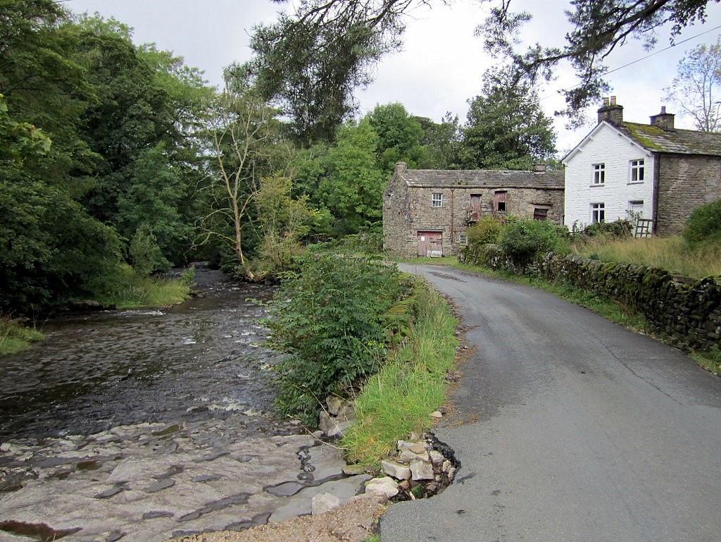
Images are sourced within 2km of 54.267863/-2.3902632 or Grid Reference SD7485. Thanks to Geograph Open Source API. All images are credited.

Cowgill Bridge The road is the route from Dent to Garsdale Head. The bridge crosses the Cowgill Beck, and though modest in appearance, dates from 1702 and is grade II listed (list entry 1383839).
Cowgill Bridge
The road is the route from Dent to Garsdale Head. The bridge crosses the Cowgill Beck, and though modest in appearance, dates from 1702 and is grade II listed (list entry 1383839).
Cowgill Bridge - stone plaque The plaque marks the repair of the bridge in 1702 'at the charge of the West Riding'. The location is now in Cumbria rather than Yorkshire. See <a href="https://www.geograph.org.uk/photo/6961450">SD7586 : Cowgill Bridge</a> for context.
Cowgill Bridge - stone plaque
The plaque marks the repair of the bridge in 1702 'at the charge of the West Riding'. The location is now in Cumbria rather than Yorkshire. See SD7586 : Cowgill Bridge for context.
Cowgill chapel - south side Also known as Kirkthwaite Chapel, or the church of St John the Evangelist, a chapel of ease in the parish of Dent. Built 1837-8 and grade II listed. The wooden shingled bell turret is unusual for this part of the country. Dentdale was formerly part of the West Riding of Yorkshire and the parish belonged to the diocese of Bradford but now belongs to Cumbria and the diocese of Carlisle.
Cowgill chapel - south side
Also known as Kirkthwaite Chapel, or the church of St John the Evangelist, a chapel of ease in the parish of Dent. Built 1837-8 and grade II listed. The wooden shingled bell turret is unusual for this part of the country. Dentdale was formerly part of the West Riding of Yorkshire and the parish belonged to the diocese of Bradford but now belongs to Cumbria and the diocese of Carlisle.
Cowgill chapel - interior See <a href="https://www.geograph.org.uk/photo/6961469">SD7586 : Cowgill chapel - south side</a> for the outside, and the shared description for its history.
Cowgill chapel - interior
See SD7586 : Cowgill chapel - south side for the outside, and the shared description for its history.
Cowgill chapel - font See <a href="https://www.geograph.org.uk/photo/6961469">SD7586 : Cowgill chapel - south side</a> for the outside, and the shared description for the history of the church.
Cowgill chapel - font
See SD7586 : Cowgill chapel - south side for the outside, and the shared description for the history of the church.
Cowgill chapel - navvies memorial In addition to residents of the village buried over the years - and it's such a small place there can rarely have been more than a couple of funerals a year - 72 railway workers and their families (so several hundred people) died in the few years it took to build the Settle-Carlisle railway across the head of Dentdale.
Cowgill chapel - navvies memorial
In addition to residents of the village buried over the years - and it's such a small place there can rarely have been more than a couple of funerals a year - 72 railway workers and their families (so several hundred people) died in the few years it took to build the Settle-Carlisle railway across the head of Dentdale.
Cowgill chapel - organ Although it only has one manual (keyboard) it's surprisingly large for such a small church. Most small village chapels of this era would just have had a harmonium.
Cowgill chapel - organ
Although it only has one manual (keyboard) it's surprisingly large for such a small church. Most small village chapels of this era would just have had a harmonium.
Cowgill chapel - war memorial The memorial is a simple stone cross, smaller than many such. Even from this small village, six men lost their lives in the first worlds war and three in the second.
Cowgill chapel - war memorial
The memorial is a simple stone cross, smaller than many such. Even from this small village, six men lost their lives in the first worlds war and three in the second.
Track to Woman's Land The 18th century farmhouse is listed but not clearly visible in this view from the public road.  The listing does not explain the name, I guess that  at some time in the past a daughter rather than a son inherited the farm.
Track to Woman's Land
The 18th century farmhouse is listed but not clearly visible in this view from the public road. The listing does not explain the name, I guess that at some time in the past a daughter rather than a son inherited the farm.
Sign for Woman's Land See <a href="https://www.geograph.org.uk/photo/6961498">SD7286 : Track to Woman's Land</a> for context.
Sign for Woman's Land
Bankland, Dentdale Viewed from the road past Woman's Land across the dale.
Bankland, Dentdale
Viewed from the road past Woman's Land across the dale.
River Dee at Hud's House This is the small river Dee in Cumbria, not the better known larger rivers of that name in Cheshire or Aberdeen. Near the end of a fairly dry summer there was barely a trickle of water in it, though it is probably prone to flash flooding in times of storm.
River Dee at Hud's House
This is the small river Dee in Cumbria, not the better known larger rivers of that name in Cheshire or Aberdeen. Near the end of a fairly dry summer there was barely a trickle of water in it, though it is probably prone to flash flooding in times of storm.
Sheep on the hillside above Hud's House Although in Cumbria, Dentdale is geologically and geographically part of the Yorkshire Dales, and this  scene could be found in any of the northern Dales.
Sheep on the hillside above Hud's House
Although in Cumbria, Dentdale is geologically and geographically part of the Yorkshire Dales, and this scene could be found in any of the northern Dales.
Datestone in the river wall opposite Hud's House The date 1928 may mark the last time the wall was rebuilt, or maybe of a major flood, or perhaps both. Other ideas?
Datestone in the river wall opposite Hud's House
The date 1928 may mark the last time the wall was rebuilt, or maybe of a major flood, or perhaps both. Other ideas?
Signpost at the bottom of Coal Road The signpost is of a type common in the area, see <a href="https://www.geograph.org.uk/photo/1370306">SD7686 : Cowgill Signpost</a> for a close-up; adjacent is a community notice board.
Signpost at the bottom of Coal Road
The signpost is of a type common in the area, see SD7686 : Cowgill Signpost for a close-up; adjacent is a community notice board.
Coal Road, Cowgill A sign warns of a single track road ahead. It doesn't mention the gradient, shown on the map with a single arrow indicating 1:7 to 1:5. As I had to push my bicycle most of the way up, I suspect it was nearer the latter figure.
Coal Road, Cowgill
A sign warns of a single track road ahead. It doesn't mention the gradient, shown on the map with a single arrow indicating 1:7 to 1:5. As I had to push my bicycle most of the way up, I suspect it was nearer the latter figure.
Telecoms installation, Lea Yeat Brow The telecoms equipment has been added since the barn was last photographed from this site in 2015 <a href="https://www.geograph.org.uk/photo/4559611">SD7687 : Barn, Lea Yeat Brow</a>.
Telecoms installation, Lea Yeat Brow
The telecoms equipment has been added since the barn was last photographed from this site in 2015 SD7687 : Barn, Lea Yeat Brow.
Dentdale service reservoir Seen from above.  There's no impounding reservoir in this dale, so it's either spring-fed, or treated water is pumped up the dale.
Dentdale service reservoir
Seen from above. There's no impounding reservoir in this dale, so it's either spring-fed, or treated water is pumped up the dale.
Show me another place!

Hacker Gill Wood is located at Grid Ref: SD7485 (Lat: 54.267863, Lng: -2.3902632)

Division: West Riding

Administrative County: Cumbria

District: South Lakeland

Police Authority: Cumbria

What 3 Words

///ulterior.fries.standard. Near Sedbergh, Cumbria

Related Wikis

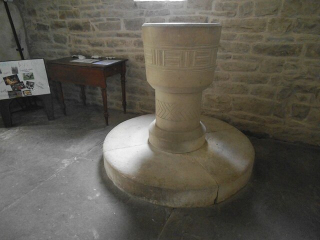
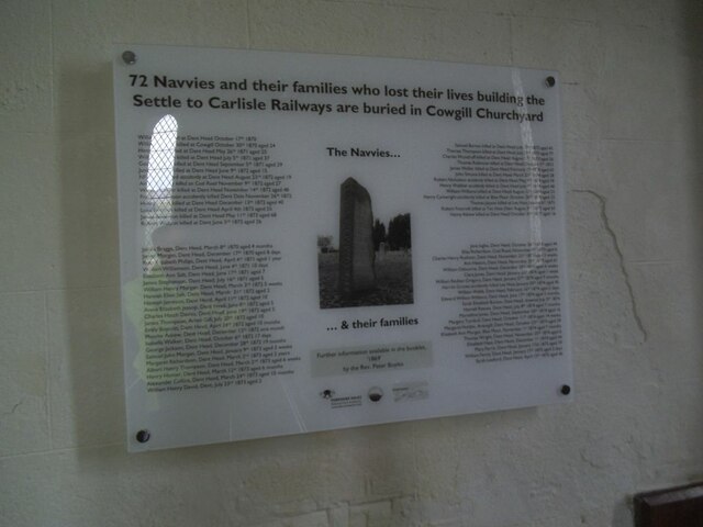
St John the Evangelist's Church, Cowgill

St John the Evangelist's Church is the Church of England parish church of the village of Cowgill, Cumbria, England. It is in the deanery of Kendal, the...

Cowgill, Cumbria

Cowgill is a village in Westmorland and Furness, Cumbria, England. It is within the historic boundaries of the West Riding of Yorkshire, and is located...

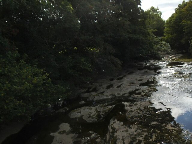
Stone House, Cumbria

Stone House is a locality at Dent Head on the River Dee, in the county of Cumbria, England, to the south-east of Cowgill and to the north-west of Newby...

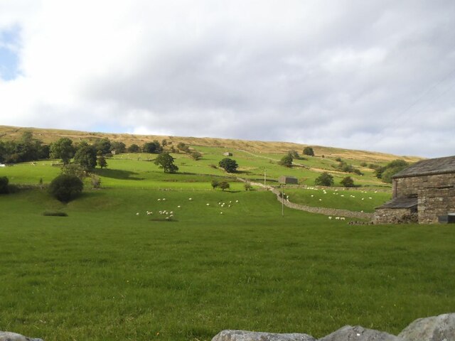
Dent railway station

Dent is a railway station on the Settle and Carlisle Line, which runs between Carlisle and Leeds via Settle. The station, situated 58 miles 29 chains...

Nearby Amenities

Located within 500m of 54.267863,-2.3902632
Power: pole
Lat/Long: 54.2721756/-2.3924022
Power: pole
Lat/Long: 54.271869/-2.3934448
Power: pole
Lat/Long: 54.2715623/-2.3944697
Power: pole
Lat/Long: 54.2712025/-2.3951376
Power: pole
Lat/Long: 54.2710745/-2.3950622
The data included in this document is from www.openstreetmap.org. The data is made available under ODbL.

Have you been to Hacker Gill Wood?

Leave your review of Hacker Gill Wood below (or comments, questions and feedback).