Coat Faw Wood

Wood, Forest in Yorkshire South Lakeland

England

Coat Faw Wood

Allen Haw, Dentdale
Allen Haw, Dentdale Credit: Colin Park

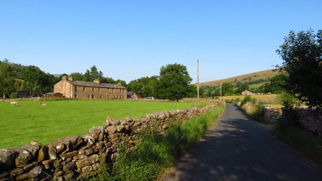
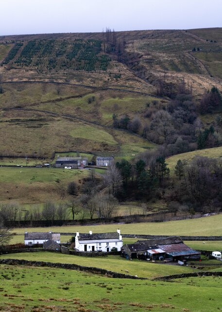
Coat Faw Wood is a beautiful forest located in Yorkshire, England. Spanning over a vast area, it is known for its dense woodland and diverse ecosystem. The wood is situated near the village of Coat Faw and is easily accessible by foot or car.

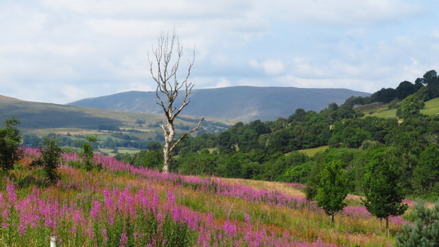
The forest is characterized by its towering ancient trees, including oak, beech, and birch. These trees provide a lush canopy that filters sunlight, creating a serene and peaceful atmosphere within the wood. The forest floor is covered with a thick layer of moss and ferns, adding to the enchanting ambiance.

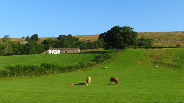
Coat Faw Wood is home to a wide variety of wildlife, making it a haven for nature enthusiasts. Visitors may spot deer, foxes, badgers, and a plethora of bird species, including woodpeckers and owls. The forest is also home to a diverse range of insects and small mammals, contributing to the overall biodiversity of the area.

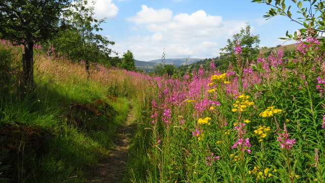
The wood offers several walking trails, allowing visitors to explore its natural beauty at their own pace. These trails wind through the forest, offering glimpses of scenic viewpoints and hidden clearings. The paths are well-maintained, making it accessible for all ages and abilities.

Coat Faw Wood is a popular destination for picnics, photography, and nature walks. The tranquil setting and stunning surroundings make it an ideal place to unwind and connect with nature. Whether you are a wildlife enthusiast, a nature lover, or simply seeking a peaceful retreat, Coat Faw Wood is a must-visit location in Yorkshire.

If you have any feedback on the listing, please let us know in the comments section below.

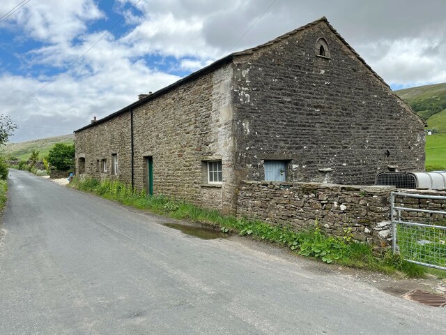
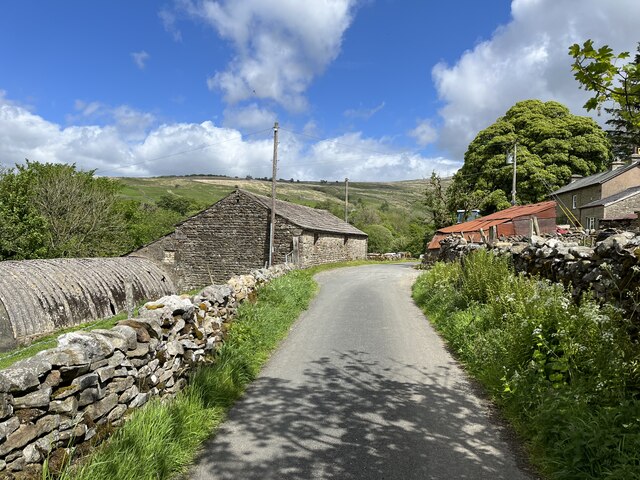
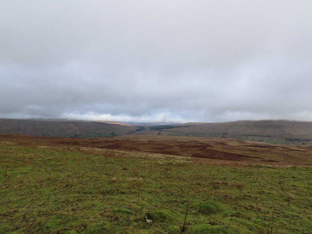
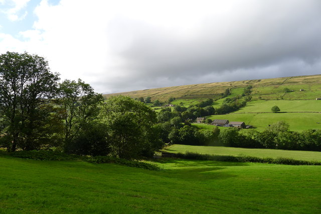
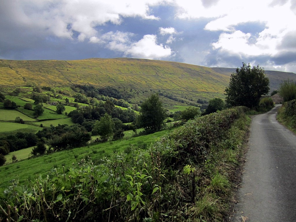
Coat Faw Wood Images

Images are sourced within 2km of 54.267568/-2.3981984 or Grid Reference SD7485. Thanks to Geograph Open Source API. All images are credited.

Allen Haw, Dentdale
Allen Haw, Dentdale
Cottages at Cowgill, Dentdale
On the Dales Way between Rivling & Little Town, Dentdale
On the Dales Way, west of Little Town, Dentdale
How Gill View of How Gill in Dentdale, seen from Lea Yeat Brow.  In the foreground is Hill Farm and Hill View and in the middle distance is Hobsons Cottage.
How Gill
View of How Gill in Dentdale, seen from Lea Yeat Brow. In the foreground is Hill Farm and Hill View and in the middle distance is Hobsons Cottage.
Gibs Hall, Barn The barn adjoins Gibs Hall Cottage at the far end.  The houses on the other side of the road use the more modern spelling of the place name ‘Gibbs’, which is also used by the Ordnance Survey.
There is an Ordnance Survey cut benchmark low down on the barn wall near the corner, facing the road (photograph <a href="https://www.geograph.org.uk/photo/7185964">SD7386 : Benchmark, Gibbs Hall Barn</a>).
Gibs Hall, Barn
The barn adjoins Gibs Hall Cottage at the far end. The houses on the other side of the road use the more modern spelling of the place name ‘Gibbs’, which is also used by the Ordnance Survey. There is an Ordnance Survey cut benchmark low down on the barn wall near the corner, facing the road (photograph SD7386 : Benchmark, Gibbs Hall Barn).
Benchmark, Gibbs Hall Barn Detail of an Ordnance Survey cut benchmark on the wall of a barn on the south side of the road at Gibbs Hall. The benchmark marks a height of 190.6097m above Ordnance Datum Newlyn last verified in 1953 (location photograph <a href="https://www.geograph.org.uk/photo/7185944">SD7386 : Gibs Hall, Barn</a>).
Benchmark, Gibbs Hall Barn
Detail of an Ordnance Survey cut benchmark on the wall of a barn on the south side of the road at Gibbs Hall. The benchmark marks a height of 190.6097m above Ordnance Datum Newlyn last verified in 1953 (location photograph SD7386 : Gibs Hall, Barn).
Ewegales The minor road is the route of the Dales Way long distance path.
Ewegales
The minor road is the route of the Dales Way long distance path.
Footpath gate near Tommy Bridge The gate is on the route of the Dales Way long distance path.
Footpath gate near Tommy Bridge
The gate is on the route of the Dales Way long distance path.
Ford near Tommy Bridge Adjacent to the Dales Way, this concreted ford across the River Dee carries a farm track.  It is not a public right of way.
Ford near Tommy Bridge
Adjacent to the Dales Way, this concreted ford across the River Dee carries a farm track. It is not a public right of way.
Thorough Mea
Thorough Mea
Church of St John the Evangelist, Cowgill, Dentdale Built in 1838. According to <span class="nowrap"><a title="http://www.visitcumbria.com/churches/cowgill-st-johns-church/" rel="nofollow ugc noopener" href="http://www.visitcumbria.com/churches/cowgill-st-johns-church/">Link</a><img style="margin-left:2px;" alt="External link" title="External link - shift click to open in new window" src="https://s1.geograph.org.uk/img/external.png" width="10" height="10"/></span> the church "became the reason for Adam Sedgwick’s famous Memorial of Dent, when an upstart curate, the Rev. Sumner tried to change the name of the village. Sedgwick used his influence at Court to get Queen Victoria to lean on Gladstone to pass an Act of Parliament to resolve the issue."
Adam Sedgewick, born in Dent, was one of the founders of modern geology.
Church of St John the Evangelist, Cowgill, Dentdale
Built in 1838. According to LinkExternal link the church "became the reason for Adam Sedgwick’s famous Memorial of Dent, when an upstart curate, the Rev. Sumner tried to change the name of the village. Sedgwick used his influence at Court to get Queen Victoria to lean on Gladstone to pass an Act of Parliament to resolve the issue." Adam Sedgewick, born in Dent, was one of the founders of modern geology.
The Dales Way leaving the tarred road Since entering the head of Dentdale, the Way has essentially followed the quiet tarred road. From this point on it largely avoids the road.
The Dales Way leaving the tarred road
Since entering the head of Dentdale, the Way has essentially followed the quiet tarred road. From this point on it largely avoids the road.
Looking across Dentdale After a mostly wet day on the Dales Way, the sun starts to reveal the beauty of Dentdale. Farm buildings at Spice Gill are across the valley
Looking across Dentdale
After a mostly wet day on the Dales Way, the sun starts to reveal the beauty of Dentdale. Farm buildings at Spice Gill are across the valley
Dentdale from the Dales Way After a mostly wet day on the Dales Way, the sun starts to reveal the beauty of Dentdale.
Dentdale from the Dales Way
After a mostly wet day on the Dales Way, the sun starts to reveal the beauty of Dentdale.
The Dales Way past Little Town
The Dales Way alongside Coat Faw Wood
The Dales Way past a barn at Swarthwaite
Show me another place!

Coat Faw Wood is located at Grid Ref: SD7485 (Lat: 54.267568, Lng: -2.3981984)

Division: West Riding

Administrative County: Cumbria

District: South Lakeland

Police Authority: Cumbria

What 3 Words

///propelled.organist.cascaded. Near Sedbergh, Cumbria

Related Wikis

St John the Evangelist's Church, Cowgill

St John the Evangelist's Church is the Church of England parish church of the village of Cowgill, Cumbria, England. It is in the deanery of Kendal, the...

Cowgill, Cumbria

Cowgill is a village in Westmorland and Furness, Cumbria, England. It is within the historic boundaries of the West Riding of Yorkshire, and is located...

Deepdale, Cumbria

Deepdale is a side valley of Dentdale in the Yorkshire Dales National Park in Cumbria, England. It lies north west of the summit of Whernside. The dale...

Dent railway station

Dent is a railway station on the Settle and Carlisle Line, which runs between Carlisle and Leeds via Settle. The station, situated 58 miles 29 chains...

Nearby Amenities

Located within 500m of 54.267568,-2.3981984
Barrier: stile
Source: survey
Lat/Long: 54.2685475/-2.4026056
Barrier: stile
Source: survey;gps
Stile: stepover
Lat/Long: 54.270636/-2.3975778
Barrier: stile
Material: stone
Source: survey;gps
Stile: stepover
Lat/Long: 54.2715196/-2.3963313
Barrier: kissing_gate
Source: survey
Lat/Long: 54.2693381/-2.3986373
Barrier: stile
Source: survey;gps
Stile: squeezer
Lat/Long: 54.2681684/-2.4050937
Power: pole
Lat/Long: 54.2713515/-2.3952119
Power: pole
Lat/Long: 54.2709802/-2.3965193
Power: pole
Lat/Long: 54.2705456/-2.3980043
Power: pole
Lat/Long: 54.2699627/-2.4000246
Power: pole
Lat/Long: 54.2696516/-2.4011004
Power: pole
Lat/Long: 54.2688864/-2.4037465
Power: pole
Lat/Long: 54.2686244/-2.405424
Power: pole
Lat/Long: 54.2700952/-2.401368
Power: pole
Lat/Long: 54.2705701/-2.4016714
Power: pole
Lat/Long: 54.2701169/-2.3973116
Power: pole
Lat/Long: 54.2718851/-2.3975104
Power: pole
Lat/Long: 54.2716375/-2.3964672
Power: pole
Lat/Long: 54.2712025/-2.3951376
Power: pole
Lat/Long: 54.2710745/-2.3950622
Power: pole
Lat/Long: 54.2685243/-2.4035927
The data included in this document is from www.openstreetmap.org. The data is made available under ODbL.

Have you been to Coat Faw Wood?

Leave your review of Coat Faw Wood below (or comments, questions and feedback).