Shakerley Wood
Wood, Forest in Cheshire
England
Shakerley Wood
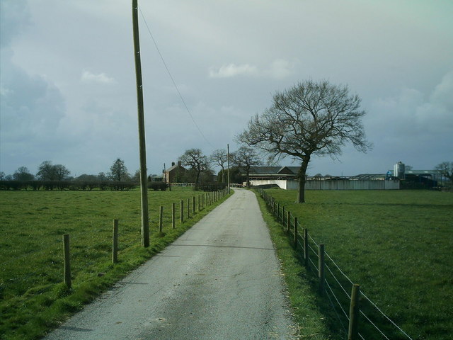
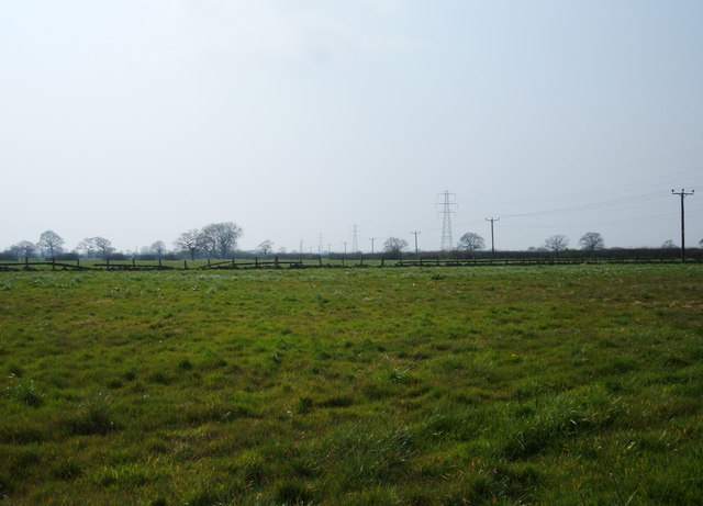
Shakerley Wood is a picturesque woodland located in Cheshire, England. Covering an area of approximately 150 acres, it is a significant natural attraction in the region. The wood is situated near the village of Antrobus and is easily accessible by both car and foot.
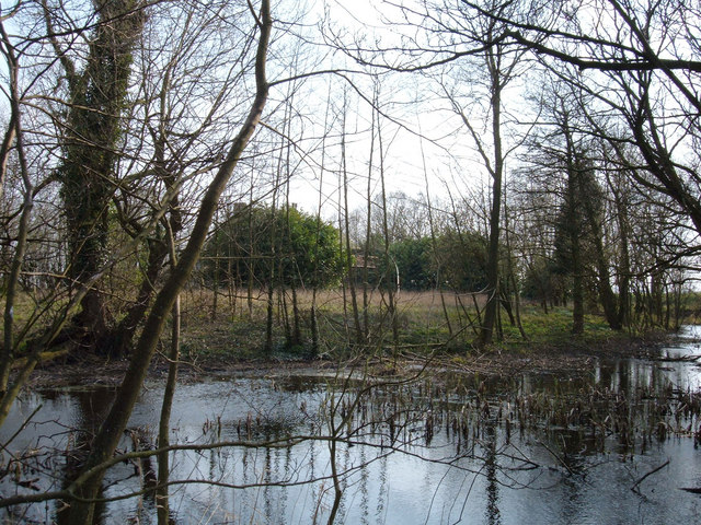
This enchanting woodland is primarily composed of native broadleaf trees, including oak, birch, and beech, creating a diverse and vibrant ecosystem. The dense foliage provides a habitat for a variety of wildlife, making it a popular destination for nature enthusiasts and birdwatchers. Visitors to Shakerley Wood can expect to encounter an array of bird species, such as woodpeckers, nuthatches, and tawny owls.
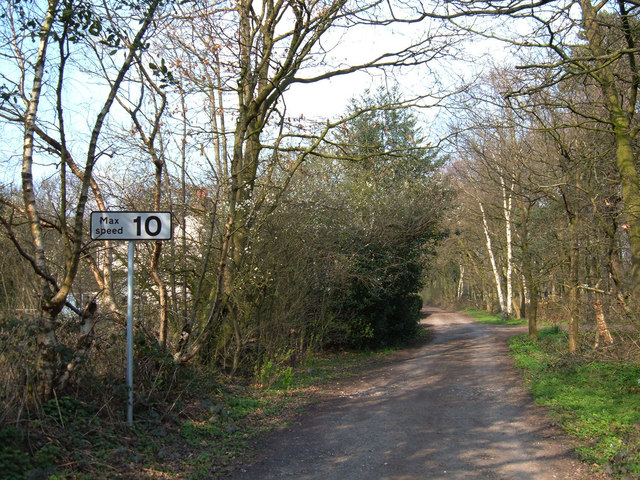
The wood features several well-maintained walking trails, allowing visitors to explore its beauty at their own pace. These paths wind through the woodland, offering a peaceful and tranquil environment to unwind and enjoy the natural surroundings. Additionally, there are designated picnic areas where visitors can relax and take in the scenic views.
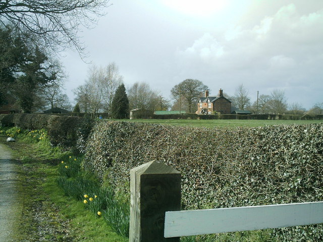
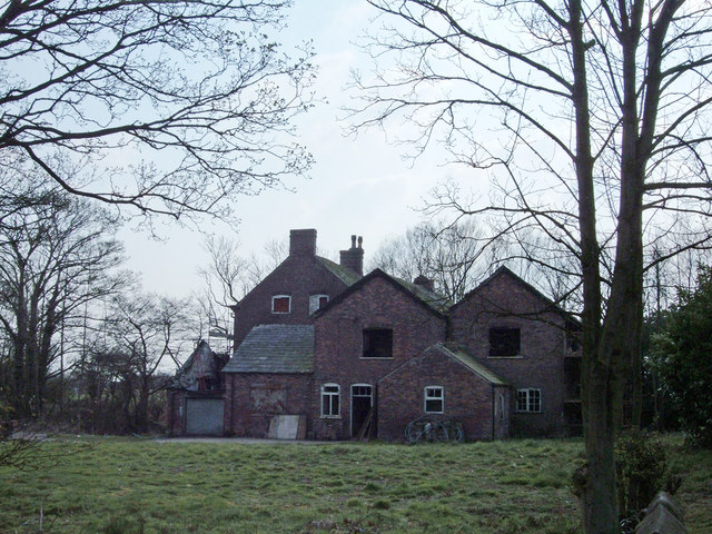
Shakerley Wood is also part of the ancient Arley Estate and has a rich historical background. The wood has been carefully managed for centuries, and remnants of past agricultural practices can still be seen today.
Overall, Shakerley Wood is a captivating destination that offers a serene escape from the hustle and bustle of everyday life. With its diverse flora and fauna, well-maintained trails, and historical significance, it is a must-visit location for anyone seeking a true woodland experience in Cheshire.
If you have any feedback on the listing, please let us know in the comments section below.
Shakerley Wood Images
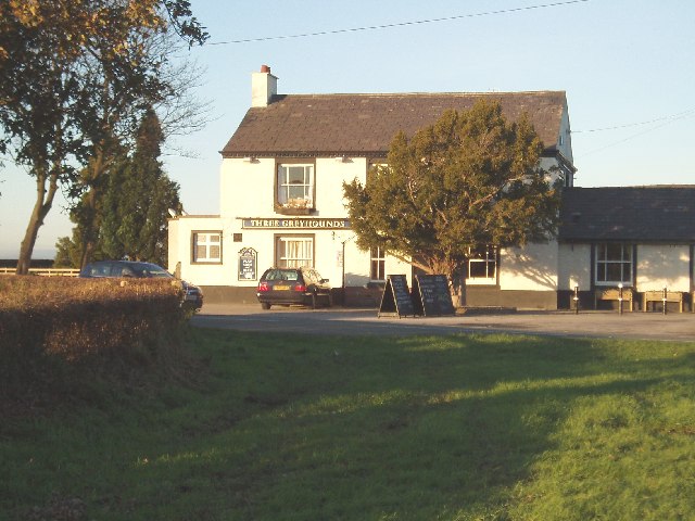
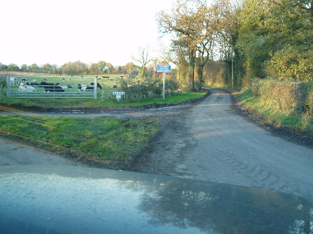
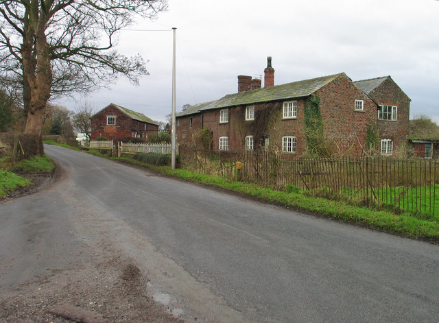
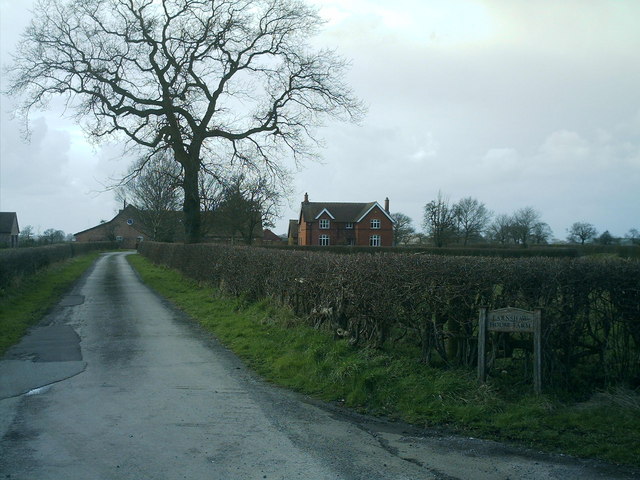
Images are sourced within 2km of 53.236622/-2.4015799 or Grid Reference SJ7371. Thanks to Geograph Open Source API. All images are credited.


Shakerley Wood is located at Grid Ref: SJ7371 (Lat: 53.236622, Lng: -2.4015799)
Unitary Authority: Cheshire West and Chester
Police Authority: Cheshire
What 3 Words
///pictured.surpassed.caravans. Near Peover Superior, Cheshire
Nearby Locations
Related Wikis

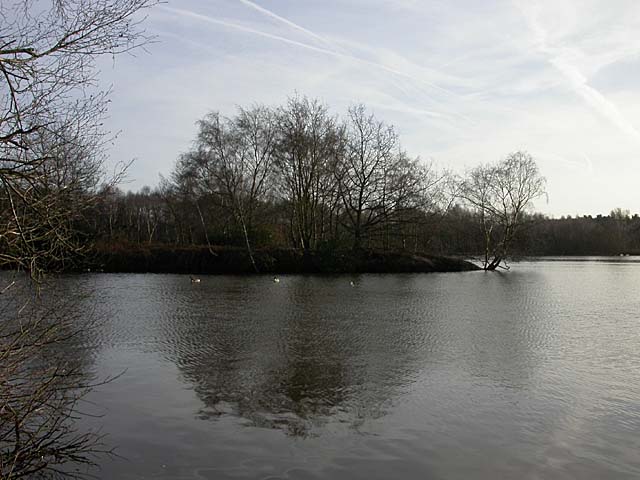
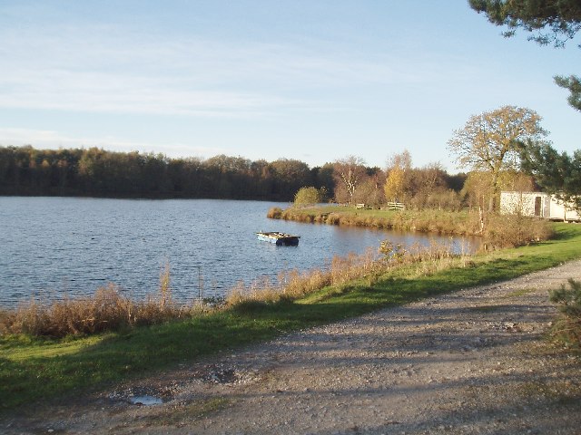
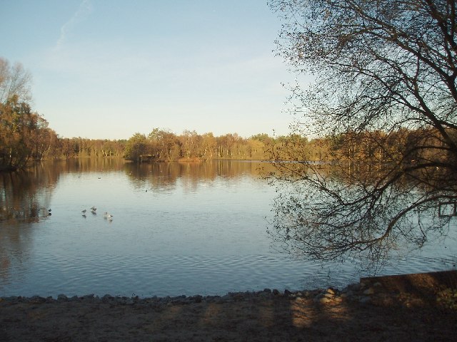
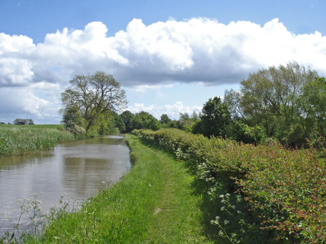
Shakerley Mere
Shakerley Mere is a lake and recreation area near Allostock, Cheshire, England. The mere is a former sand quarry, which flooded after extraction ended...

Allostock
Allostock is a village and civil parish in the unitary authority of Cheshire West and Chester and the ceremonial county of Cheshire, England, about five...

Hulme Hall, Allostock
Hulme Hall is a house on a moated site in the parish of Allostock, Cheshire, England. It originated in the 15th century, with additions and alterations...

RAF Cranage
Royal Air Force Cranage or more simply RAF Cranage is a former Royal Air Force Satellite station operated during the Second World War. It was located just...
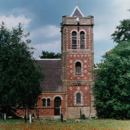
St John the Evangelist's Church, Byley
St John the Evangelist's Church is in the small village of Byley, Cheshire, England. It is recorded in the National Heritage List for England as a designated...
Byley
Byley is a village and civil parish in the unitary authority of Cheshire West and Chester and the ceremonial county of Cheshire, England, about 2+1⁄2 miles...
Peover Inferior
Peover Inferior is a civil parish in the Borough of Cheshire East and the ceremonial county of Cheshire, England. The village is known for its picturesque...

Lach Dennis
Lach Dennis is a village in the civil parish of Lach Dennis and Lostock Green, in the unitary authority area of Cheshire West and Chester and the ceremonial...
Nearby Amenities
Located within 500m of 53.236622,-2.4015799Have you been to Shakerley Wood?
Leave your review of Shakerley Wood below (or comments, questions and feedback).