Shakerley Mere

Lake, Pool, Pond, Freshwater Marsh in Cheshire

England

Shakerley Mere

Island on Shakerley Mere A former sand quarry, now a small park. It can be noisy here due to the closeness of the M6 motorway, but the level path around the lake is very popular with visitors.
Island on Shakerley Mere Credit: David Kitching

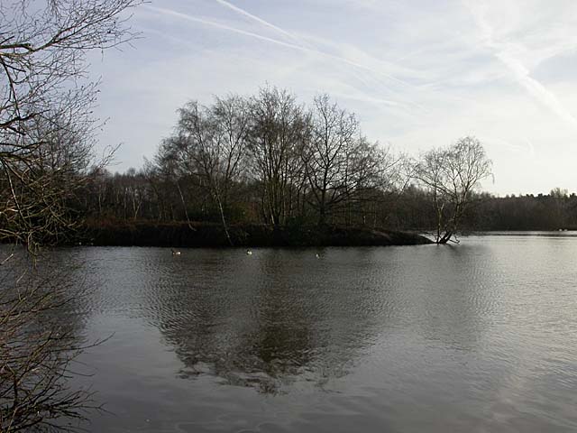
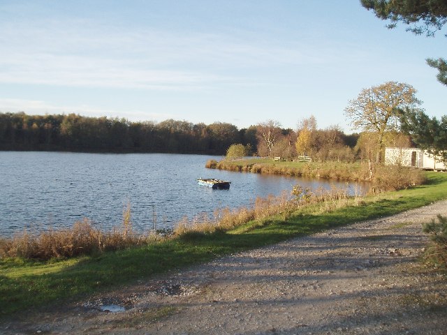
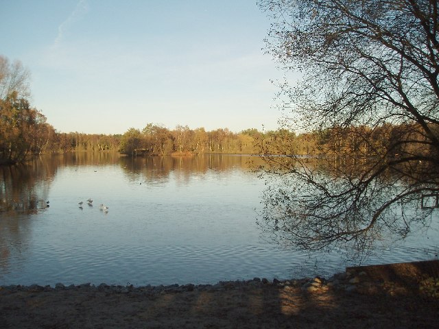
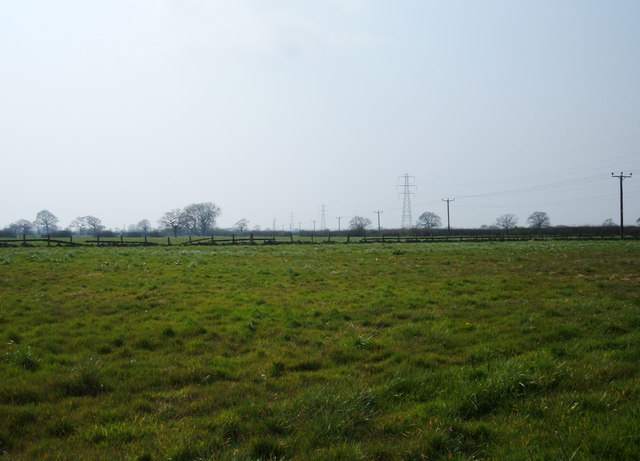
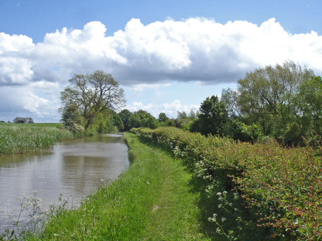
Shakerley Mere is a picturesque freshwater lake located in the county of Cheshire, England. It covers an area of approximately 56 acres and is nestled within the idyllic Shakerley Estate, near the village of Lymm. The mere is a popular destination for nature enthusiasts and offers a tranquil escape from the bustling city life.

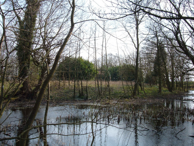
Surrounded by lush greenery, Shakerley Mere boasts crystal-clear waters that are teeming with a diverse range of plant and animal life. The lake is home to various species of fish, including pike, perch, and roach, making it a haven for anglers. Birdwatchers are also drawn to the area as the mere provides an ideal habitat for an array of waterfowl, such as swans, ducks, and herons.

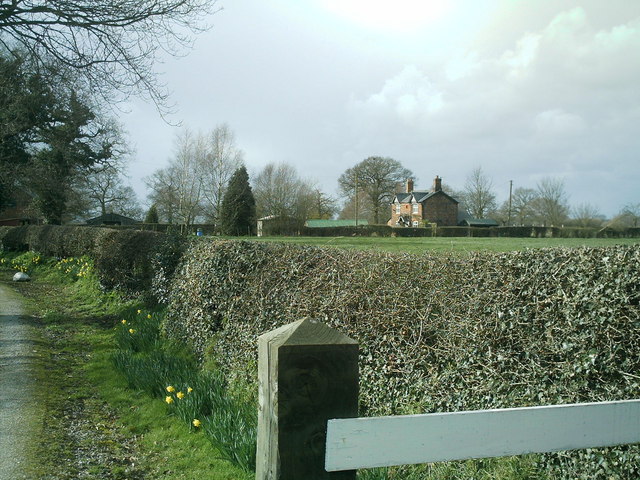
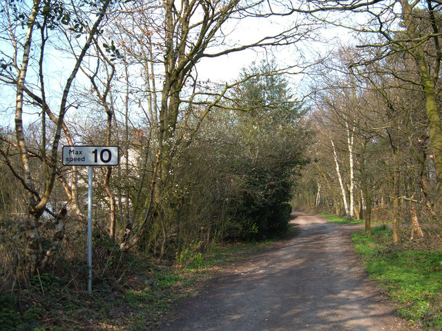
The site features a network of well-maintained footpaths, allowing visitors to explore the beauty of the surrounding landscape. The abundance of trees and foliage creates a serene atmosphere, making it a perfect spot for leisurely walks and picnics.

Adjacent to the lake is a small pool, which is a popular spot for children to paddle and play, particularly during the summer months. Additionally, a freshwater marsh can be found nearby, providing a unique ecosystem for a variety of marshland plants and wildlife.

Shakerley Mere offers a peaceful retreat for those seeking a connection with nature. Its scenic beauty, diverse wildlife, and tranquil ambiance make it a must-visit destination for both locals and tourists alike.

If you have any feedback on the listing, please let us know in the comments section below.

Shakerley Mere Images

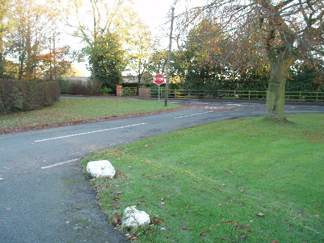
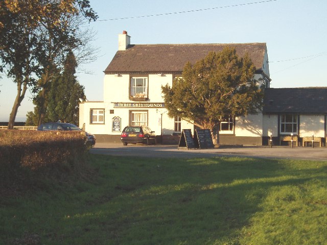
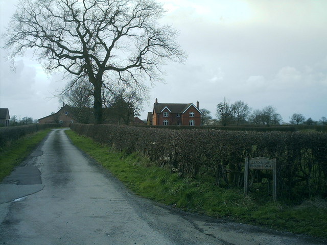
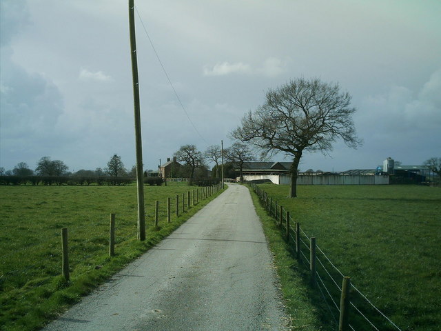
Images are sourced within 2km of 53.235594/-2.402664 or Grid Reference SJ7371. Thanks to Geograph Open Source API. All images are credited.

Island on Shakerley Mere A former sand quarry, now a small park. It can be noisy here due to the closeness of the M6 motorway, but the level path around the lake is very popular with visitors.
Island on Shakerley Mere
A former sand quarry, now a small park. It can be noisy here due to the closeness of the M6 motorway, but the level path around the lake is very popular with visitors.
Boundary  Water Park On the A50 just south of Allostock . Once a popular windsurfing centre but now only used by anglers
Boundary Water Park
On the A50 just south of Allostock . Once a popular windsurfing centre but now only used by anglers
South End of Shakerley Mere Near to cross roads of B5082 & B5081 .
South End of Shakerley Mere
Near to cross roads of B5082 & B5081 .
M6 from King's Lane, looking north Always busy especially on Friday evening!! 
(Bridge in distance carries the B5081)
M6 from King's Lane, looking north
Always busy especially on Friday evening!! (Bridge in distance carries the B5081)
M6 from King's Lane looking south
Road Junction Junction of Baker's Lane (foreground) and Middlewich road (B5081).
Road Junction
Junction of Baker's Lane (foreground) and Middlewich road (B5081).
The Three Greyhounds Public House Situated on the crossroads of the B5081 & B5082 (Difficult to tell which Grid square, on one map its SJ7271 & another SJ7270 !!)
The Three Greyhounds Public House
Situated on the crossroads of the B5081 & B5082 (Difficult to tell which Grid square, on one map its SJ7271 & another SJ7270 !!)
Earnshaw House Farm, off the B5081 Byley Lane, nr Puddinglake. Earnshaw house farm taken from bottom of drive on Byley Lane, this farm is on the road between Lach Dennis & Middlewich , close to Shakerley Mere.
Earnshaw House Farm, off the B5081 Byley Lane, nr Puddinglake.
Earnshaw house farm taken from bottom of drive on Byley Lane, this farm is on the road between Lach Dennis & Middlewich , close to Shakerley Mere.
Stublach Farm, off  Byley Lane, near Shakerley Mere. Photo of Stublach Farm, off the B5081 Byley Lane, this is the road to Middlewich via Byley from Lach Dennis.
Stublach Farm, off Byley Lane, near Shakerley Mere.
Photo of Stublach Farm, off the B5081 Byley Lane, this is the road to Middlewich via Byley from Lach Dennis.
Stublach House, off  Byley  Lane , nr Shakerley Mere. Photo of Stublach House, the local area around this house is largely farmland, it is close to Shakerley Mere, a large lake next to the M6.
Stublach House, off Byley Lane , nr Shakerley Mere.
Photo of Stublach House, the local area around this house is largely farmland, it is close to Shakerley Mere, a large lake next to the M6.
B5081 Byley Lane, nr Shakerley Mere Photo of Byley Lane junction of King's lane, nr Shakerley Mere. The camera is pointed towards Byley & Middlewich, King's lane is the left turn, Stublach House, Stublach Farm and Earnshaw Farm are a short way down the lane on the right of the photo.
B5081 Byley Lane, nr Shakerley Mere
Photo of Byley Lane junction of King's lane, nr Shakerley Mere. The camera is pointed towards Byley & Middlewich, King's lane is the left turn, Stublach House, Stublach Farm and Earnshaw Farm are a short way down the lane on the right of the photo.
Telephone Box and Garden Centre, Allostock Cheshire The telephone box in the village of Allostock appears to be a major feature on the O.S. map, whilst in reality, the garden centre catches the eye of the passing motorist.
Telephone Box and Garden Centre, Allostock Cheshire
The telephone box in the village of Allostock appears to be a major feature on the O.S. map, whilst in reality, the garden centre catches the eye of the passing motorist.
Hulme Hall Moat Looking south from a point on Hulme Hall Lane. The chimney tops of Hulme Hall are peeping above the bright green tree just left of centre.
Hulme Hall Moat
Looking south from a point on Hulme Hall Lane. The chimney tops of Hulme Hall are peeping above the bright green tree just left of centre.
Farmland near Lach Dennis, Cheshire Looking southwest from a point on Holmes Chapel Road (B5082) along a line of pylons. The village of Lach Dennis is less than a kilometre to the west.
Farmland near Lach Dennis, Cheshire
Looking southwest from a point on Holmes Chapel Road (B5082) along a line of pylons. The village of Lach Dennis is less than a kilometre to the west.
Byway across Warrington Common This short section of byway (about 300 metres in length) links King's Lane with Northwich Road to the south of Rudheath Woods.
Byway across Warrington Common
This short section of byway (about 300 metres in length) links King's Lane with Northwich Road to the south of Rudheath Woods.
Hulme Hall Hulme Hall is a derelict 15th century farmhouse and a Grade II* listed building. It is now within an area of brine extraction and is owned by Ineos Chlor (formerly ICI). Its restoration is doubtful whilst the building remains in its present ownership.
Hulme Hall
Hulme Hall is a derelict 15th century farmhouse and a Grade II* listed building. It is now within an area of brine extraction and is owned by Ineos Chlor (formerly ICI). Its restoration is doubtful whilst the building remains in its present ownership.
Long winter shadows on Shakerley Mere VERY close to the thundering traffic of the M6 - but it doesn't deter the birds, the anglers or the strollers.
Long winter shadows on Shakerley Mere
VERY close to the thundering traffic of the M6 - but it doesn't deter the birds, the anglers or the strollers.
The thaw sets in at Shakerley Mere After a cold snap, the birds were glad to see the sunshine. Some of them appear to be walking on water.
The thaw sets in at Shakerley Mere
After a cold snap, the birds were glad to see the sunshine. Some of them appear to be walking on water.
Show me another place!

Shakerley Mere is located at Grid Ref: SJ7371 (Lat: 53.235594, Lng: -2.402664)

Unitary Authority: Cheshire West and Chester

Police Authority: Cheshire

What 3 Words

///ruffling.dragon.alienated. Near Peover Superior, Cheshire

Related Wikis

Shakerley Mere

Shakerley Mere is a lake and recreation area near Allostock, Cheshire, England. The mere is a former sand quarry, which flooded after extraction ended...

Allostock

Allostock is a village and civil parish in the unitary authority of Cheshire West and Chester and the ceremonial county of Cheshire, England, about five...

Hulme Hall, Allostock

Hulme Hall is a house on a moated site in the parish of Allostock, Cheshire, England. It originated in the 15th century, with additions and alterations...

RAF Cranage

Royal Air Force Cranage or more simply RAF Cranage is a former Royal Air Force Satellite station operated during the Second World War. It was located just...

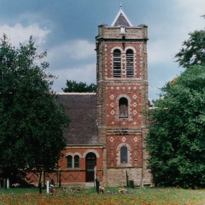
St John the Evangelist's Church, Byley

St John the Evangelist's Church is in the small village of Byley, Cheshire, England. It is recorded in the National Heritage List for England as a designated...

Byley

Byley is a village and civil parish in the unitary authority of Cheshire West and Chester and the ceremonial county of Cheshire, England, about 2+1⁄2 miles...

Lach Dennis

Lach Dennis is a village in the civil parish of Lach Dennis and Lostock Green, in the unitary authority area of Cheshire West and Chester and the ceremonial...

Peover Inferior

Peover Inferior is a civil parish in the Borough of Cheshire East and the ceremonial county of Cheshire, England. The village is known for its picturesque...

Nearby Amenities

Located within 500m of 53.235594,-2.402664
Parking
Lat/Long: 53.2340013/-2.4005123
Post Box
Collection Times: Mo-Fr 16:00; Sa 08:30
Ref: WA16 7
Lat/Long: 53.2351445/-2.4063417
Barrier: stile
Material: wood
Stile: stepover
Lat/Long: 53.2348696/-2.4053494
The data included in this document is from www.openstreetmap.org. The data is made available under ODbL.

Have you been to Shakerley Mere?

Leave your review of Shakerley Mere below (or comments, questions and feedback).