Barrow Wood
Wood, Forest in Somerset Mendip
England
Barrow Wood
Barrow Wood, located in Somerset, England, is a charming forested area that offers a serene escape from the hustle and bustle of everyday life. Spanning approximately 100 acres, this wood is a haven for nature enthusiasts and those seeking tranquility amidst the beauty of the outdoors.
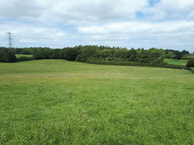
The wood is mostly composed of broadleaf trees, including oak, ash, and beech, which create a dense canopy overhead, providing shade and shelter to a diverse range of flora and fauna. Bluebells, wild garlic, and violets carpet the forest floor during spring, adding bursts of color to the landscape.
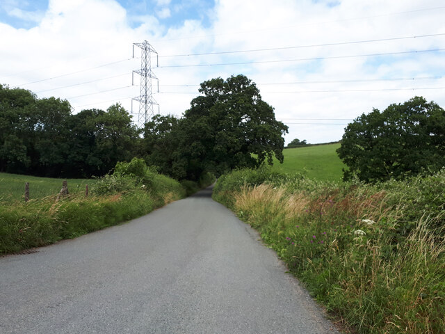
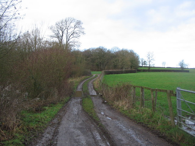
Traversing through Barrow Wood, visitors will find a network of well-maintained trails and pathways, making it accessible for walkers, hikers, and cyclists. The paths meander through the wood, leading to hidden clearings and viewpoints that offer stunning vistas of the surrounding countryside.
The wood is home to a variety of wildlife, including deer, foxes, badgers, and a plethora of bird species. Nature lovers will have the opportunity to spot woodpeckers, owls, and various songbirds while exploring the area.
Barrow Wood is not only a place of natural beauty but also holds historical significance. The wood has remnants of ancient barrows, burial mounds dating back to the Neolithic period, hence giving the wood its name. These archaeological features add an air of mystery and intrigue to the already enchanting woodland.
Whether it's for a leisurely stroll, a picnic, or a chance to reconnect with nature, Barrow Wood in Somerset provides a delightful escape for visitors of all ages, offering a memorable experience in the heart of the British countryside.
If you have any feedback on the listing, please let us know in the comments section below.
Barrow Wood Images
Images are sourced within 2km of 51.179474/-2.3834809 or Grid Reference ST7342. Thanks to Geograph Open Source API. All images are credited.
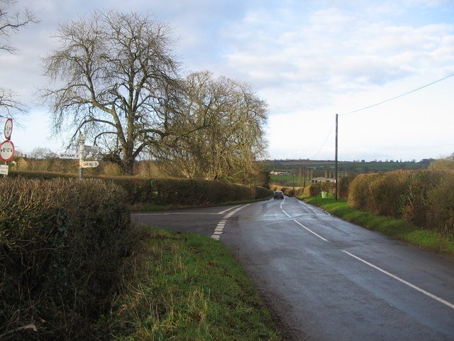
Barrow Wood is located at Grid Ref: ST7342 (Lat: 51.179474, Lng: -2.3834809)
Administrative County: Somerset
District: Mendip
Police Authority: Avon and Somerset
What 3 Words
///decent.games.denim. Near Frome, Somerset
Nearby Locations
Related Wikis

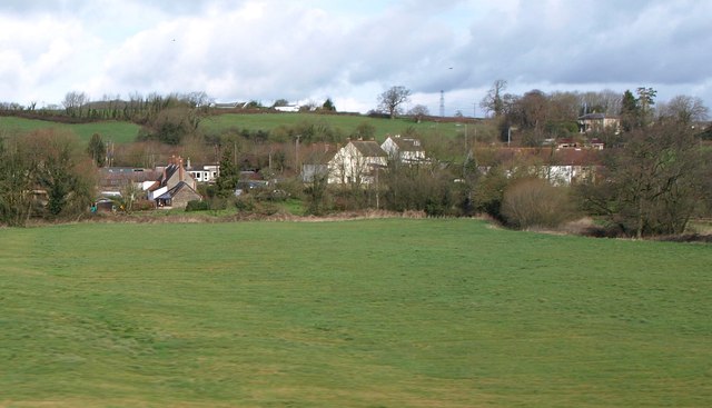
Postlebury Wood
Postlebury Wood (grid reference ST740430) is an 87 hectare biological Site of Special Scientific Interest south of Trudoxhill in Somerset, notified in...

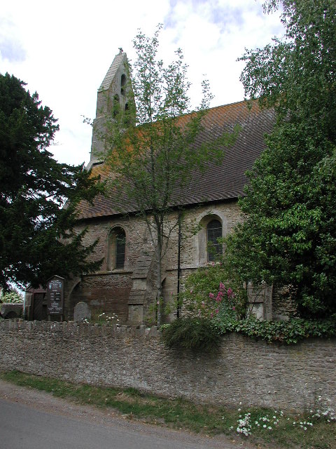
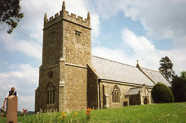
Church of St Mary, Witham Friary
The Church of St Mary in Witham Friary, Somerset, England, dates from around 1200 and it has been designated as a Grade I listed building.The church was...
Witham Friary
Witham Friary is a small English village and civil parish located between the towns of Frome and Bruton in the county of Somerset. It is in the Cranborne...

Trudoxhill
Trudoxhill is a village and civil parish near Nunney in Somerset, England. == History == The name Trudoxhill comes from the Old English treow meaning tree...

Church of St Mary, Cloford
The Church of St Mary in Cloford, Wanstrow, Somerset, England was built in the 15th century. It is a Grade II* listed building. == History == The church...

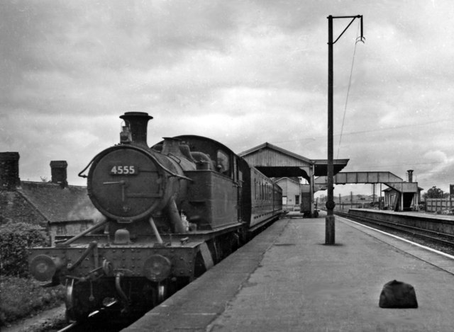
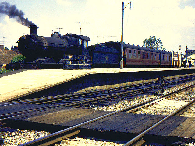
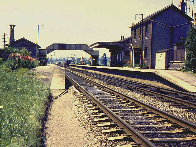
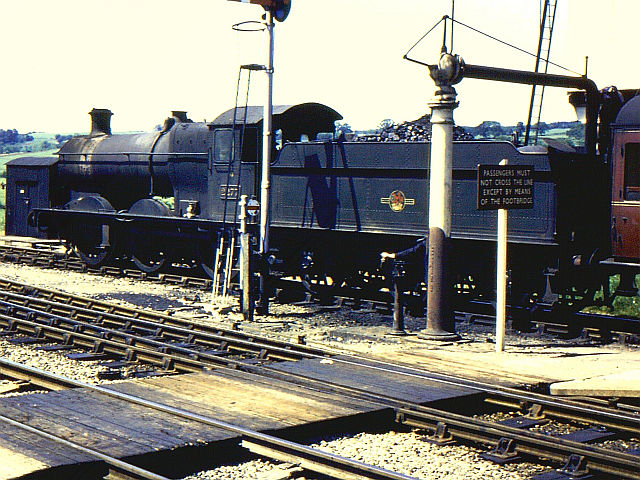
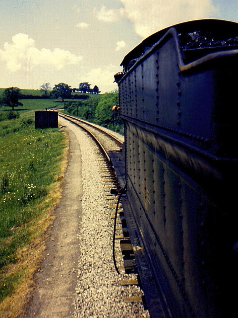
Witham (Somerset) railway station
This station in Somerset is closed. For the open station in East Anglia, see Witham railway station.Witham (Somerset) railway station was a station serving...

Wanstrow
Wanstrow is a village and civil parish 6 miles (9.7 km) south west of Frome in Somerset, England. The parish includes the village of Cloford. == History... ==

Witham Charterhouse
Witham Charterhouse, also Witham Priory, at Witham Friary, Somerset, was established in 1178/79, the earliest of the ten medieval Carthusian houses (charterhouses...
Nearby Amenities
Located within 500m of 51.179474,-2.3834809Have you been to Barrow Wood?
Leave your review of Barrow Wood below (or comments, questions and feedback).