Engine Coppice
Wood, Forest in Worcestershire Malvern Hills
England
Engine Coppice
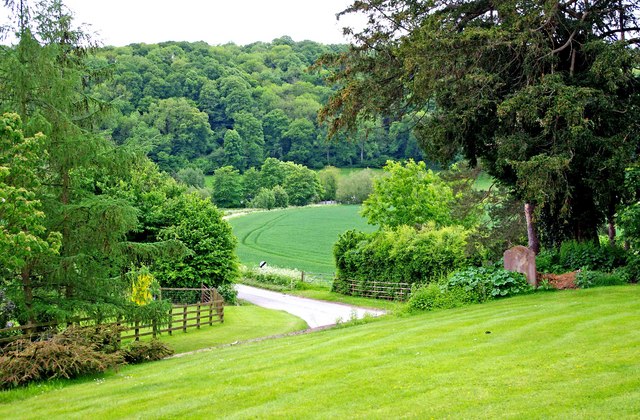
Engine Coppice is a wood located in Worcestershire, England, known for its scenic beauty and rich biodiversity. Situated near the village of Fairfield, the coppice covers an area of approximately 40 hectares.
The wood is primarily composed of broadleaf trees, such as oak, ash, and beech, which create a dense canopy that provides shade and shelter to various flora and fauna. The forest floor is covered with a diverse range of plant species, including bluebells, wood anemones, and wild garlic, creating a colorful carpet during the spring months.
Engine Coppice is a popular destination for nature enthusiasts and hikers due to its well-maintained footpaths and tranquil surroundings. The wood offers numerous walking trails that allow visitors to explore its different sections, from open glades to dense woodland areas. Along the trails, visitors may encounter various wildlife species, including deer, foxes, and a wide variety of birds.
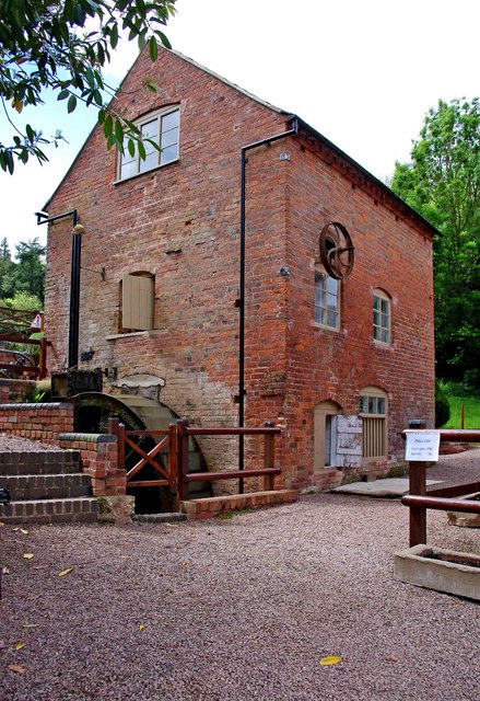
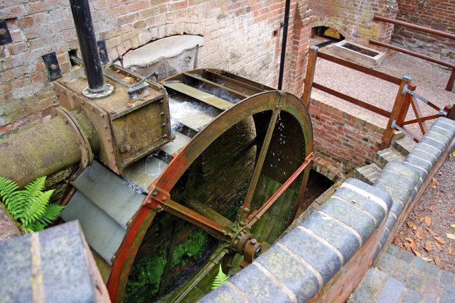
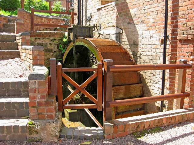
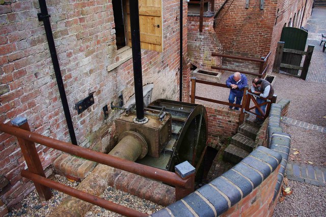
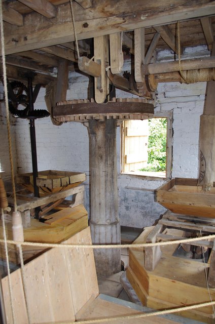
The wood also has historical significance, as it was once part of a larger woodland used for charcoal production during the industrial revolution. The name "Engine Coppice" refers to the steam engine that powered the charcoal-making process. Although the industrial activities have long ceased, remnants of the old charcoal platforms and kilns can still be seen in certain areas of the wood.
Overall, Engine Coppice in Worcestershire is a captivating woodland that offers a peaceful retreat and a chance to connect with nature. Its combination of natural beauty, diverse flora and fauna, and historical remnants make it a remarkable destination for both locals and tourists alike.
If you have any feedback on the listing, please let us know in the comments section below.
Engine Coppice Images
Images are sourced within 2km of 52.278469/-2.392916 or Grid Reference SO7364. Thanks to Geograph Open Source API. All images are credited.
Engine Coppice is located at Grid Ref: SO7364 (Lat: 52.278469, Lng: -2.392916)
Administrative County: Worcestershire
District: Malvern Hills
Police Authority: West Mercia
What 3 Words
///transit.soaps.tarred. Near Collington, Herefordshire
Nearby Locations
Related Wikis

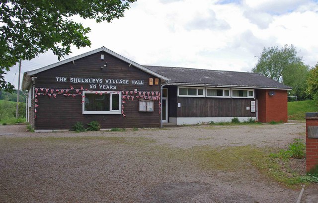
Shelsleys
The Shelsleys are a group of small villages in the Malvern Hills District in the county of Worcestershire, England. Situated on either wide of the Teme...

Woodbury Hill
Woodbury Hill is a hill near the village of Great Witley, about 5 miles (8 km) south-west of Stourport-on-Severn in Worcestershire, England. It is the...

Shelsley Beauchamp
Shelsley Beauchamp or Great Shelsley is a village and civil parish 9 miles (14 km) north west of Worcester, in the Malvern Hills district, in the county...

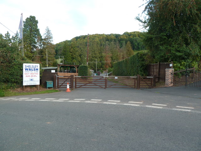
Shelsley Walsh
Shelsley Walsh is a small village and civil parish in Worcestershire, England, on the western side of the River Teme. For administrative purposes it is...
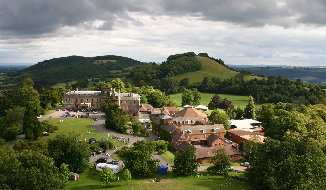
Abberley Hall
Abberley Hall is a country house in the north-west of the county of Worcestershire, England. The present Italianate house is the work of Samuel Daukes...
Abberley Hall School
Abberley Hall School was a coeducational preparatory day and boarding school with about 160 pupils. It was located between Worcester and Tenbury, near...
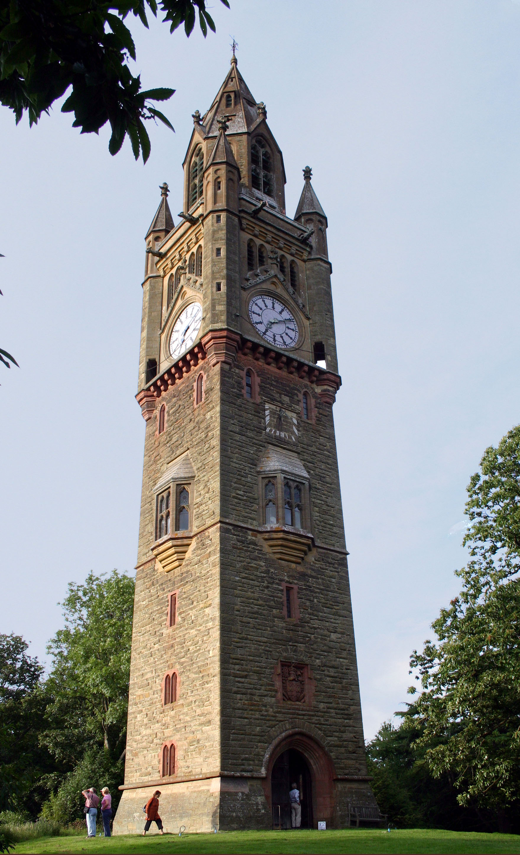
Abberley Clock Tower
Abberley Clock Tower is a prominent, distinctive clock tower in Abberley, Worcestershire, England. Built by James Piers St Aubyn around 1883 for Abberley...
Ham Castle
Ham Castle (also known as Home or Homme Castle) is located in Worcestershire at the bottom of a wooded escarpment (and close to the River Teme), within...
Nearby Amenities
Located within 500m of 52.278469,-2.392916Have you been to Engine Coppice?
Leave your review of Engine Coppice below (or comments, questions and feedback).