Ryton Coppice

Wood, Forest in Gloucestershire Forest of Dean

England

Ryton Coppice

Durbridge Mill buildings Buildings alongside the track through Durbridge Mill Farm.
Durbridge Mill buildings Credit: Pebble

Ryton Coppice is a picturesque woodland located in Gloucestershire, England. Situated on the eastern edge of the Cotswolds, this ancient forest covers an area of approximately 50 hectares. The coppice is known for its diverse range of flora and fauna, making it a haven for nature enthusiasts and wildlife lovers.

The woodland is primarily composed of deciduous trees, including oak, ash, beech, and birch. These majestic trees create a dense canopy that provides ample shade and a thriving habitat for a variety of wildlife species. The forest floor is covered in a carpet of wildflowers, such as bluebells, primroses, and wood anemones, adding a burst of color to the surroundings.

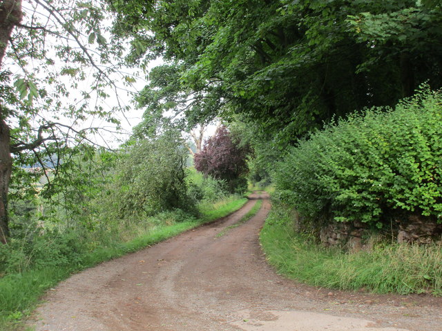
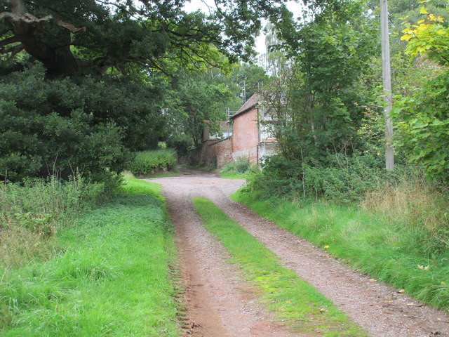
Ryton Coppice is traversed by a network of well-maintained footpaths, allowing visitors to explore the woodlands and discover its hidden treasures. The tranquil atmosphere and enchanting beauty of the forest make it an ideal location for walking, picnicking, and nature photography.

The woodland is also home to a diverse range of wildlife. Birdwatchers will delight in spotting species such as great spotted woodpeckers, tawny owls, and chiffchaffs. Mammals such as badgers, foxes, and roe deer can also be observed in their natural habitat.

Ryton Coppice is not only a place of natural beauty but also holds historical significance. The woodland has been managed as a coppice for centuries, providing a sustainable source of wood for local industries. This traditional woodland management technique involves periodically cutting back certain trees to encourage new growth, resulting in a continuous supply of timber.

In conclusion, Ryton Coppice is a remarkable woodland in Gloucestershire, offering visitors a chance to immerse themselves in nature's tranquility. With its diverse flora and fauna, well-maintained footpaths, and rich history, this enchanting forest is a must-visit destination for anyone seeking a peaceful retreat in

If you have any feedback on the listing, please let us know in the comments section below.

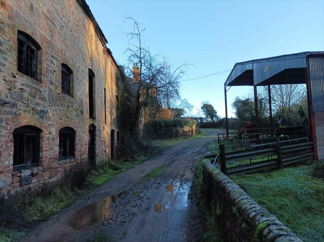
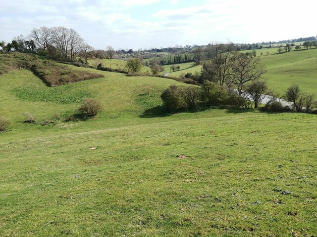
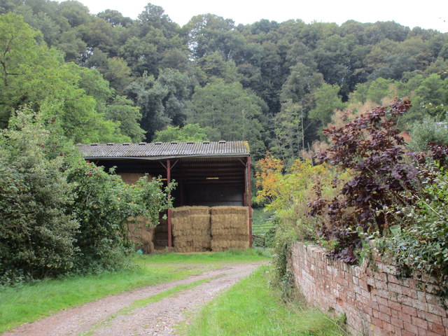
Ryton Coppice Images

Images are sourced within 2km of 51.980641/-2.3921086 or Grid Reference SO7331. Thanks to Geograph Open Source API. All images are credited.

Durbridge Mill buildings Buildings alongside the track through Durbridge Mill Farm.
Durbridge Mill buildings
Buildings alongside the track through Durbridge Mill Farm.
Fields near Welsh House Lane Grassy fields and rolling hills near Welsh House Lane.
Fields near Welsh House Lane
Grassy fields and rolling hills near Welsh House Lane.
Footbridge over the River Leadon There are a number of footpaths in the area, this footbridge enables walkers to cross the River Leadon near Durbridge Farm.
Footbridge over the River Leadon
There are a number of footpaths in the area, this footbridge enables walkers to cross the River Leadon near Durbridge Farm.
River Leadon near Durbridge Mill Trees reflected in the River Leadon which is flowing at a very low level after a prolong period of low rainfall. Note the exposed tree roots on the riverbank.
River Leadon near Durbridge Mill
Trees reflected in the River Leadon which is flowing at a very low level after a prolong period of low rainfall. Note the exposed tree roots on the riverbank.
Bridge reflected in the River Leadon Bridge reflected in the River Leadon near Durbridge Mill.
Bridge reflected in the River Leadon
Bridge reflected in the River Leadon near Durbridge Mill.
Building at Durbridge Mill The remains of a round building at Durbridge Mill near Poolhill, not sure what its original purpose was.
Building at Durbridge Mill
The remains of a round building at Durbridge Mill near Poolhill, not sure what its original purpose was.
Former mill buildings Former mill buildings at Durbridge Mill beside the River Leadon.
Former mill buildings
Former mill buildings at Durbridge Mill beside the River Leadon.
Old millwheel, Durbridge Mill
Traditional farm buildings, Durbridge Mill Traditional red-brick farm buildings at Durbridge Mill.
Traditional farm buildings, Durbridge Mill
Traditional red-brick farm buildings at Durbridge Mill.
Road to Durbridge Mill Road to Durbridge Mill which appears now to be a farm.
Road to Durbridge Mill
Road to Durbridge Mill which appears now to be a farm.
Barn at Durbridge Mill
Restoration work at Durbridge Farm
View down to Durbridge Mill Farm
Former mill buildings, Durbridge Mill Farm Durbridge Mill was a corn mill but has long been out of use.
Former mill buildings, Durbridge Mill Farm
Durbridge Mill was a corn mill but has long been out of use.
Track to Cutmill Is a public footpath.
Track to Cutmill
Is a public footpath.
New house on old site This house has replaced an older house which had become derelict.
New house on old site
This house has replaced an older house which had become derelict.
Approaching Durbridge Farm
Field edge above Poolhill
Show me another place!

Ryton Coppice is located at Grid Ref: SO7331 (Lat: 51.980641, Lng: -2.3921086)

Administrative County: Gloucestershire

District: Forest of Dean

Police Authority: Gloucestershire

What 3 Words

///irritable.crunchy.catapult. Near Donnington, Herefordshire

Related Wikis

Ketford Bank

Ketford Bank (grid reference SO723308) is a 0.69-hectare (1.7-acre) nature reserve in Gloucestershire. The site is owned and managed by the Gloucestershire...

Vell Mill Daffodil Meadow

Vell Mill Daffodil Meadow (grid reference SO710314) is a 2.1-hectare (5.2-acre) nature reserve in Gloucestershire. The site is owned and managed by the...

Redmarley D'Abitot

Redmarley D'Abitot is a civil parish and village in the Forest of Dean district, Gloucestershire, South West England. In addition to the village of Redmarley...

Three Counties (Gloucestershire, Herefordshire and Worcestershire)

The Three Counties of England are traditionally the three agrarian counties of Gloucestershire, Herefordshire and Worcestershire. Including towns and cities...

Nearby Amenities

Located within 500m of 51.980641,-2.3921086
Ever Hill
Natural: peak
Lat/Long: 51.9840722/-2.3906835
Coleridge Hill
Natural: peak
Source: OS 1:25k
Lat/Long: 51.9774376/-2.3910269
Power: pole
Lat/Long: 51.9821229/-2.3980294
Paddocks Ketford
Power: pole
Transformer: distribution
Voltage Primary: 11000
Lat/Long: 51.9828759/-2.3979211
Power: pole
Lat/Long: 51.9816738/-2.3980936
Power: pole
Lat/Long: 51.9810505/-2.3981798
Power: pole
Lat/Long: 51.9804253/-2.3982711
Ryton Nurseries
Power: pole
Transformer: distribution
Voltage Primary: 11000
Lat/Long: 51.9794128/-2.3971608
Power: pole
Lat/Long: 51.9798106/-2.3983624
Power: pole
Lat/Long: 51.9792101/-2.3984436
Power: pole
Lat/Long: 51.9785886/-2.3985178
The data included in this document is from www.openstreetmap.org. The data is made available under ODbL.

Have you been to Ryton Coppice?

Leave your review of Ryton Coppice below (or comments, questions and feedback).