Cowdenknowes
Settlement in Renfrewshire
Scotland
Cowdenknowes
Cowdenknowes is a small village located in the historic county of Renfrewshire, Scotland. Situated approximately 8 miles southwest of Paisley, the village is nestled amidst the picturesque countryside, offering a tranquil and idyllic setting.
The village is known for its rich history, dating back to ancient times. The name "Cowdenknowes" is believed to have Gaelic origins, meaning "hill of the cattle." This suggests that the area was used for grazing livestock in the past.
Today, Cowdenknowes is a close-knit community with a population of around 500 residents. The village boasts a charming collection of traditional stone-built houses, giving it a distinctive character. The surrounding green fields and rolling hills provide a stunning backdrop, making it a popular destination for outdoor enthusiasts.
Despite its small size, Cowdenknowes offers a range of amenities for its residents. These include a local primary school, a village hall, and a community park. The village also benefits from good transportation links, with regular bus services connecting it to nearby towns and cities.
The natural beauty of the area is a major draw for visitors. Walking and cycling trails crisscross the countryside, offering stunning views of the surrounding landscape. Additionally, nearby attractions such as nature reserves and historic sites provide opportunities for further exploration.
In conclusion, Cowdenknowes is a charming village in Renfrewshire, Scotland, that offers a peaceful and picturesque environment for its residents and visitors alike. Its rich history, stunning scenery, and close-knit community make it a delightful place to live or visit.
If you have any feedback on the listing, please let us know in the comments section below.
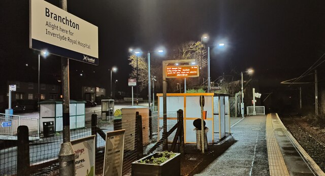
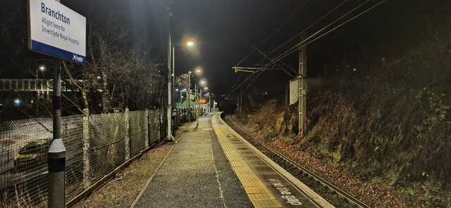
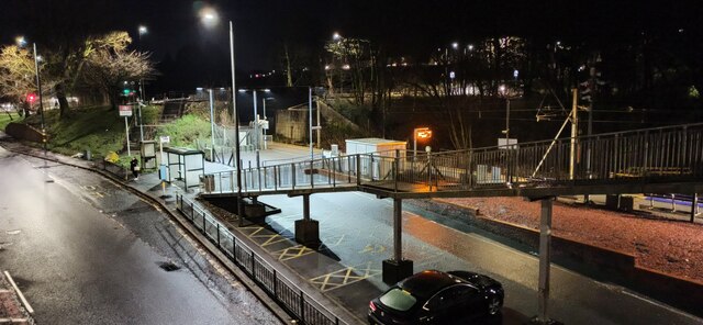
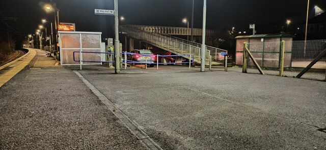
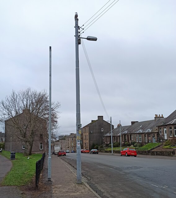
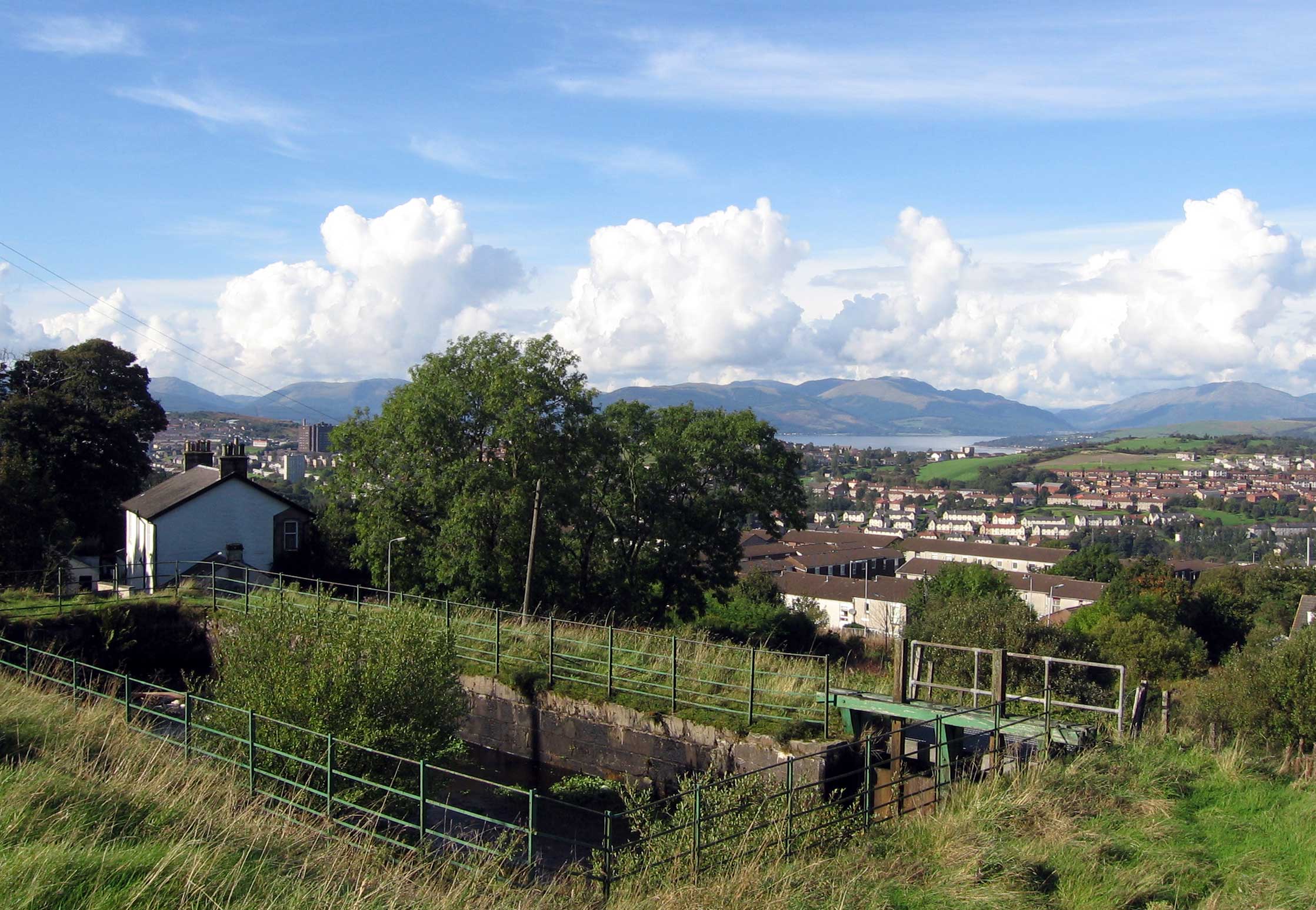
Cowdenknowes Images
Images are sourced within 2km of 55.942142/-4.776287 or Grid Reference NS2675. Thanks to Geograph Open Source API. All images are credited.


Cowdenknowes is located at Grid Ref: NS2675 (Lat: 55.942142, Lng: -4.776287)
Unitary Authority: Inverclyde
Police Authority: Renfrewshire and Inverclyde
What 3 Words
///look.many.leader. Near Greenock, Inverclyde
Nearby Locations
Related Wikis

Greenock rail crash
On 25 June 1994, the 22:45 from Wemyss Bay to Glasgow, in Scotland, derailed and smashed into a bridge after hitting concrete blocks placed deliberately...
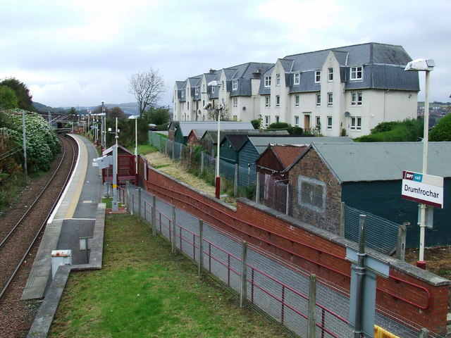
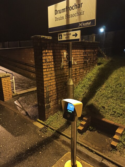
Drumfrochar railway station
Drumfrochar railway station is a railway station located in a residential district in the south-western part of Greenock, Scotland. The station is managed...

HM Prison Greenock
HMP Greenock is a prison located in Greenock, Scotland, serving designated courts in western Scotland by holding male prisoners on remand, and short-term...
Overton, Greenock
Overton is an area in the suburbs of Greenock, Inverclyde. Overton offers excellent views across the River Clyde and suburban Greenock. The area is the...
Nearby Amenities
Located within 500m of 55.942142,-4.776287Have you been to Cowdenknowes?
Leave your review of Cowdenknowes below (or comments, questions and feedback).