Cowdenbeath
Settlement in Fife
Scotland
Cowdenbeath
Cowdenbeath is a town located in the county of Fife, Scotland. Situated approximately five miles northeast of Dunfermline, it lies on the northern shore of the Firth of Forth. With a population of around 12,000, Cowdenbeath is the second-largest town in Fife, after Kirkcaldy.
The town has a rich history that can be traced back to medieval times. It was originally known as "Coudenbeith" and was primarily an agricultural community. However, Cowdenbeath's fortunes changed dramatically during the industrial revolution when coal mining became the dominant industry in the area. The town became a hub for coal mining and associated industries, attracting workers from across Scotland.
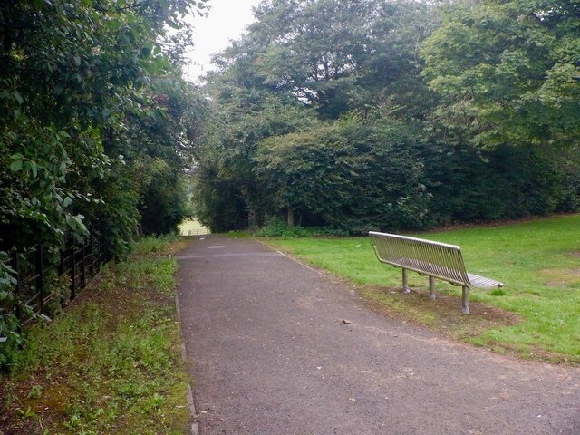
Today, Cowdenbeath still retains some remnants of its industrial past, with some old mining buildings and the Fife Heritage Railway, which connects the town to nearby Lochgelly. However, the decline in the coal mining industry has led to a diversification of the local economy, with retail and services sectors playing a more prominent role.
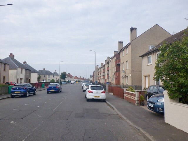
The town has a close-knit community and offers a range of amenities and facilities to its residents. There are several primary and secondary schools, a leisure center, and various parks and green spaces. Cowdenbeath also has good transportation links, with regular bus services connecting it to nearby towns and cities. The nearby A92 road provides easy access to the rest of Fife and beyond.
Overall, Cowdenbeath is a historic town with a proud industrial heritage, and it continues to evolve and adapt to the changing economic landscape of the region.
If you have any feedback on the listing, please let us know in the comments section below.
Cowdenbeath Images
Images are sourced within 2km of 56.111896/-3.344064 or Grid Reference NT1691. Thanks to Geograph Open Source API. All images are credited.


Cowdenbeath is located at Grid Ref: NT1691 (Lat: 56.111896, Lng: -3.344064)
Unitary Authority: Fife
Police Authority: Fife
What 3 Words
///dumps.sisters.smooth. Near Cowdenbeath, Fife
Nearby Locations
Related Wikis
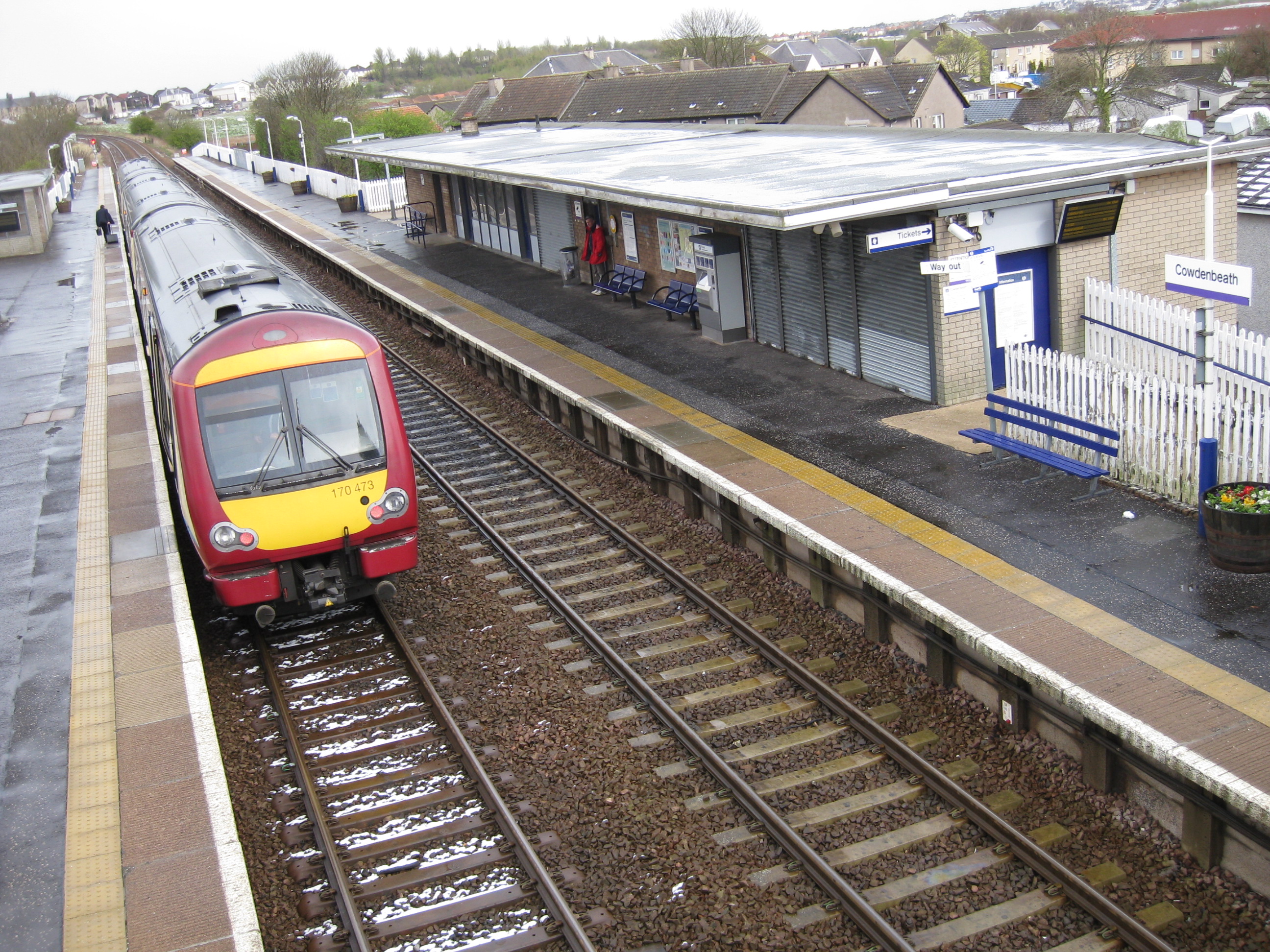
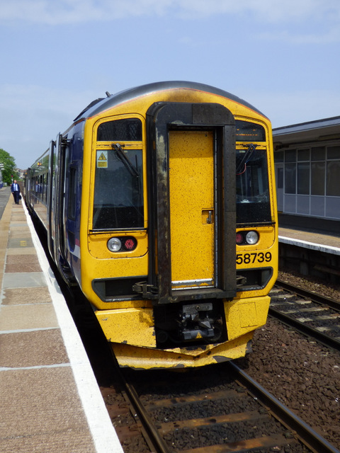
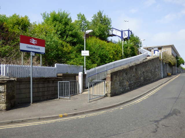
Cowdenbeath railway station
Cowdenbeath railway station is a railway station in the town of Cowdenbeath, Fife, Scotland. The station is managed by ScotRail and is on the Fife Circle...

North End Park
North End Park, also known as Colliers Den, is a disused playing field in Cowdenbeath. Between 1888 and 1917 the site was a football ground and the home...
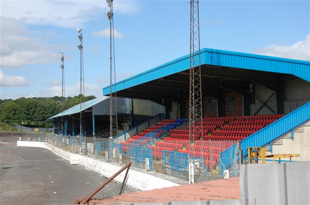
Central Park, Cowdenbeath
Central Park is a multi-use stadium in Cowdenbeath, Fife, Scotland, used for football and stock car racing. It is situated in the centre of the town, just...
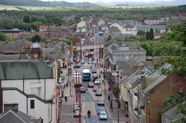
Cowdenbeath
Cowdenbeath ( ; Scots: Coudenbeith) is a town and burgh in west Fife, Scotland. It is 5 miles (8 km) north-east of Dunfermline and 18 miles (29 km) north...
Nearby Amenities
Located within 500m of 56.111896,-3.344064Have you been to Cowdenbeath?
Leave your review of Cowdenbeath below (or comments, questions and feedback).