Cowden Hill
Settlement in Stirlingshire
Scotland
Cowden Hill

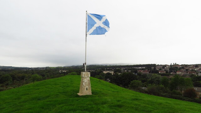
Cowden Hill is a prominent geographical feature located in Stirlingshire, Scotland. It is situated in the scenic Trossachs region, near the village of Thornhill. Rising to an elevation of 310 meters (1,017 feet), Cowden Hill offers stunning panoramic views of the surrounding countryside.
The hill is known for its distinctive conical shape, which stands out amidst the rolling landscape. Covered in lush green vegetation, it provides a picturesque backdrop to the area. Cowden Hill is also home to a variety of wildlife, including deer, rabbits, and various species of birds, making it a popular spot for nature enthusiasts and birdwatchers.
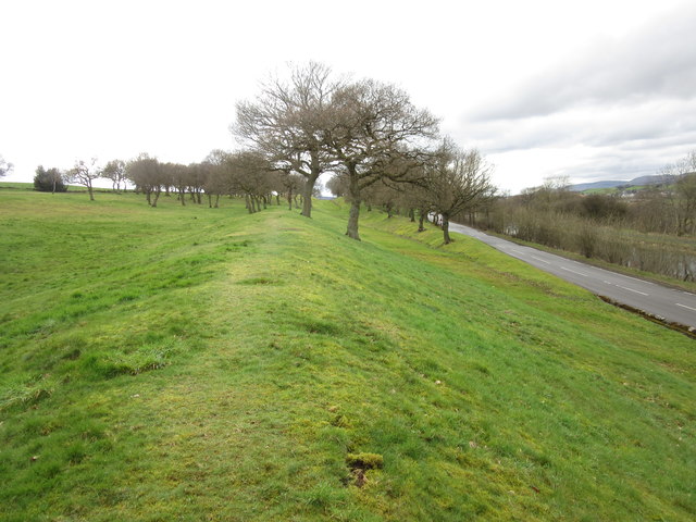
A network of trails and paths crisscrosses the hill, providing opportunities for outdoor activities such as hiking and walking. These trails offer different levels of difficulty, catering to both experienced hikers and casual walkers. Along the way, visitors can enjoy the vibrant flora and fauna, with wildflowers blooming in the warmer months.
At the summit of Cowden Hill, there is a viewpoint that offers breathtaking vistas of the surrounding countryside, including the nearby Loch Lomond and the Trossachs National Park. On a clear day, it is possible to see as far as the distant peaks of the Scottish Highlands.
Overall, Cowden Hill is a cherished natural landmark in Stirlingshire, attracting locals and tourists alike with its beauty and tranquility. Whether it is for a leisurely stroll or a challenging hike, this hill offers an unforgettable experience for those seeking to immerse themselves in the stunning Scottish countryside.
If you have any feedback on the listing, please let us know in the comments section below.
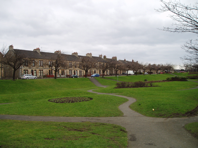
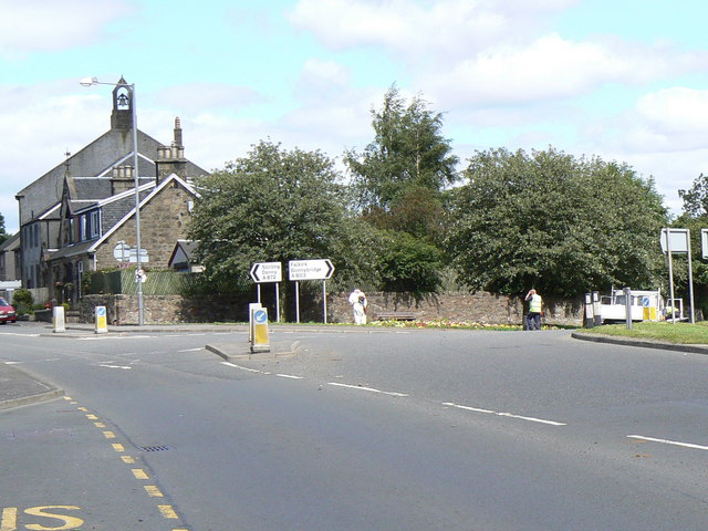
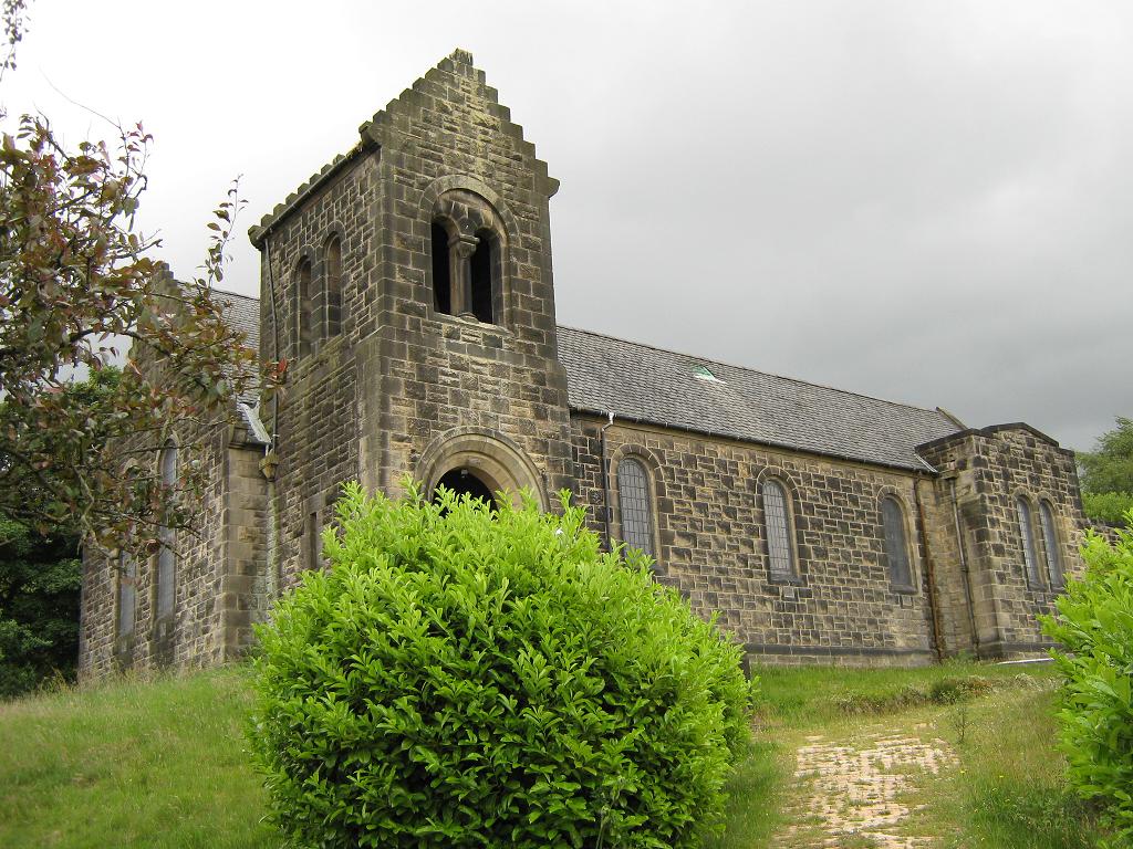
Cowden Hill Images
Images are sourced within 2km of 55.998386/-3.8935743 or Grid Reference NS8280. Thanks to Geograph Open Source API. All images are credited.


Cowden Hill is located at Grid Ref: NS8280 (Lat: 55.998386, Lng: -3.8935743)
Unitary Authority: Falkirk
Police Authority: Forth Valley
What 3 Words
///owls.requested.weary. Near Bonnybridge, Falkirk
Nearby Locations
Related Wikis

Bonnybridge railway station
Bonnybridge railway station was a railway station serving the village of Bonnybridge in central Scotland. The station was located on a short branch off...
Bonnybridge
Bonnybridge (Scottish Gaelic: Drochaid Bhunaich; Scots: Bonniebrig) is a village in the Falkirk council area of Scotland. It is 4.0 miles (6.4 km) west...
Bonnybridge Central railway station
Bonnybridge Central railway station served the village of Bonnybridge, Falkirk, Scotland from 1888 to 1935 on the Kilsyth and Bonnybridge Railway. ��2...

Greenhill, Falkirk
Greenhill is a village which lies in the Falkirk council area of Scotland. The village is located on the outskirts of Bonnybridge, 4.3 miles (6.9 km) west...
Seabegs Wood
Seabegs Wood was the site of a Roman fortlet on the Antonine Wall in Scotland.At Seabegs, the outline of Antonine's Wall, has lasted. Archaeologists from...

Greenhill Lower railway station
Greenhill Lower railway station served the village of Greenhill, Falkirk, Scotland from 1848 to 1966 on the Scottish Central Railway. == History == The...
Dennyloanhead
Dennyloanhead (Scottish Gaelic: Ceann Lòn an Daingneach) is a village in the Falkirk council area, Central Scotland, that is between Head of Muir and Longcroft...
High Bonnybridge
High Bonnybridge is a small village which lies in the Falkirk council area of Scotland. The village is located 0.5 miles (0.8 km) south-east of Bonnybridge...
Nearby Amenities
Located within 500m of 55.998386,-3.8935743Have you been to Cowden Hill?
Leave your review of Cowden Hill below (or comments, questions and feedback).