Higher Bitcombe Wood
Wood, Forest in Somerset Mendip
England
Higher Bitcombe Wood
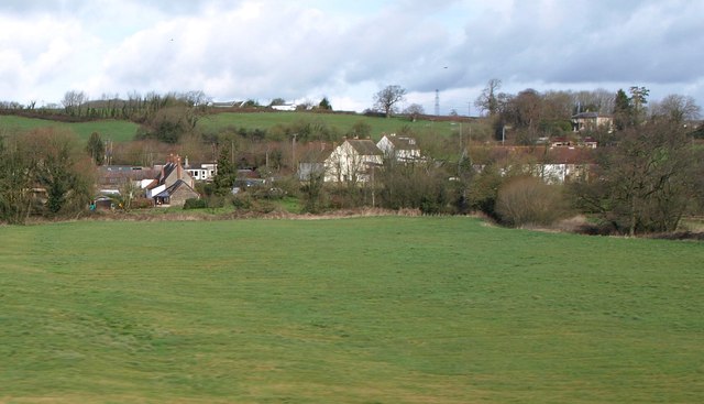
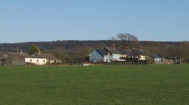
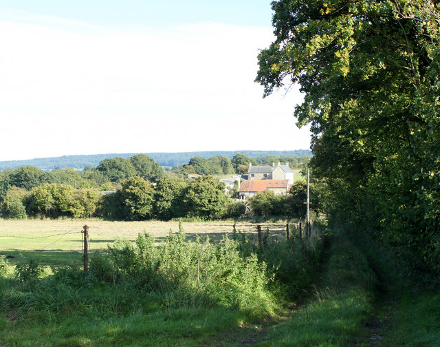
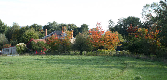
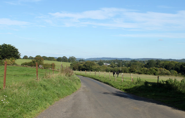
Higher Bitcombe Wood is a stunning woodland located in the county of Somerset, England. It covers an area of approximately 100 acres and is situated near the village of Bitcombe, nestled in the rolling countryside of the region.
The wood is primarily composed of deciduous trees, with a rich variety of species including oak, beech, ash, and birch. The trees form a dense canopy, creating a serene and peaceful atmosphere within the wood. The forest floor is covered in a thick carpet of moss and ferns, providing a lush and green undergrowth.
Higher Bitcombe Wood is known for its diverse wildlife, making it a popular destination for nature enthusiasts and birdwatchers. The wood is home to a plethora of bird species, including woodpeckers, nightingales, and various species of owls. Other notable wildlife that can be spotted in the area include deer, foxes, badgers, and rabbits.
The wood offers a network of walking trails, allowing visitors to explore its natural beauty at their own pace. These trails wind through the woodland, providing glimpses of picturesque views and tranquil spots. The wood is also a great location for photography, with its scenic landscapes and abundant wildlife providing ample opportunities for capturing stunning shots.
Overall, Higher Bitcombe Wood is a gem in Somerset's natural landscape. Its lush vegetation, diverse wildlife, and peaceful atmosphere make it an ideal destination for those seeking a connection with nature.
If you have any feedback on the listing, please let us know in the comments section below.
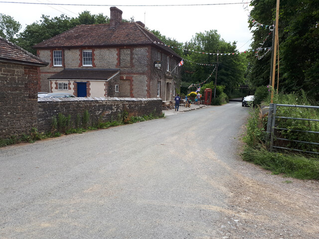
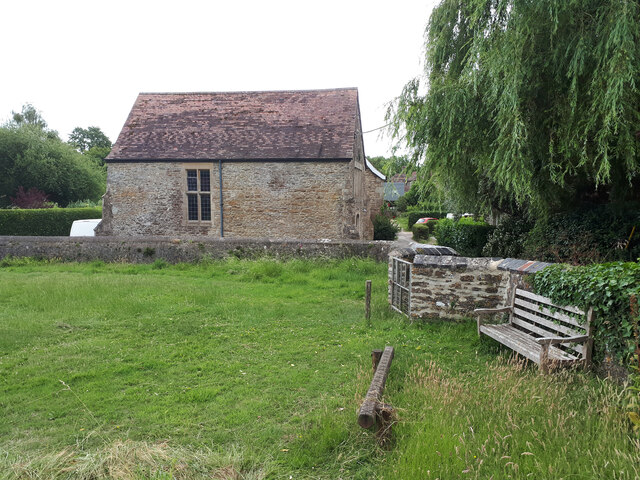
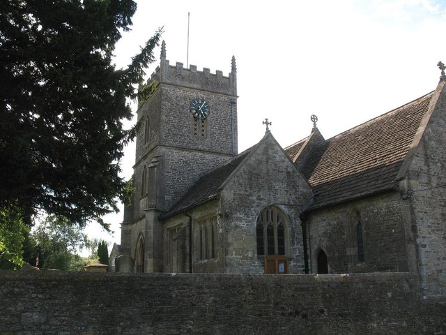
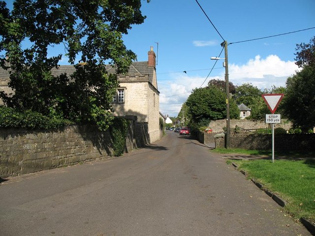
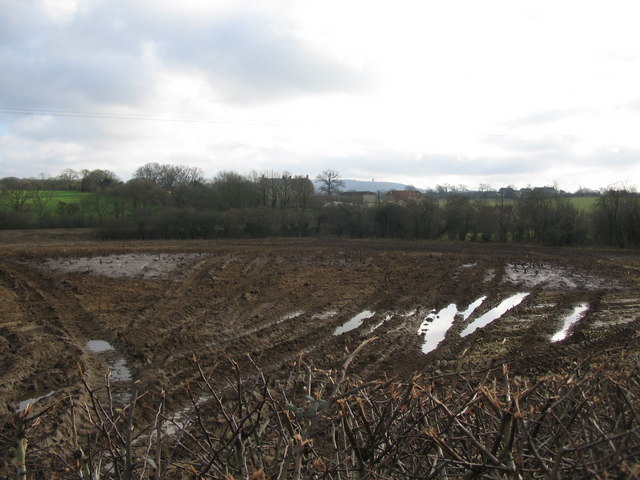
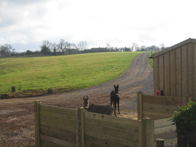
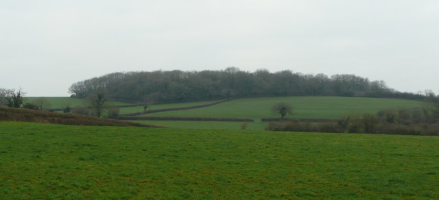
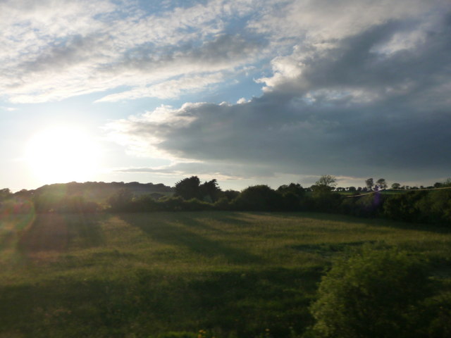
Higher Bitcombe Wood Images
Images are sourced within 2km of 51.171543/-2.3890078 or Grid Reference ST7241. Thanks to Geograph Open Source API. All images are credited.


Higher Bitcombe Wood is located at Grid Ref: ST7241 (Lat: 51.171543, Lng: -2.3890078)
Administrative County: Somerset
District: Mendip
Police Authority: Avon and Somerset
What 3 Words
///bump.shapeless.perfect. Near Kilmington, Wiltshire
Nearby Locations
Related Wikis

Wanstrow
Wanstrow is a village and civil parish 6 miles (9.7 km) south west of Frome in Somerset, England. The parish includes the village of Cloford. == History... ==

Church of St Mary, Witham Friary
The Church of St Mary in Witham Friary, Somerset, England, dates from around 1200 and it has been designated as a Grade I listed building.The church was...
Witham Friary
Witham Friary is a small English village and civil parish located between the towns of Frome and Bruton in the county of Somerset. It is in the Cranborne...

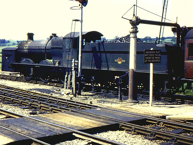
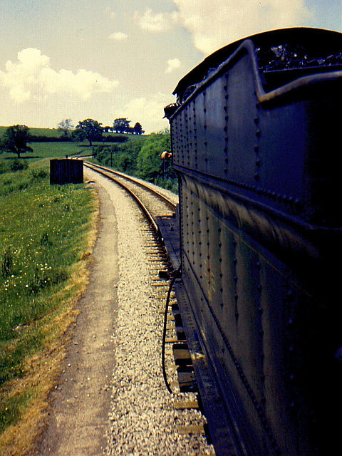
Witham (Somerset) railway station
This station in Somerset is closed. For the open station in East Anglia, see Witham railway station.Witham (Somerset) railway station was a station serving...

Witham Charterhouse
Witham Charterhouse, also Witham Priory, at Witham Friary, Somerset, was established in 1178/79, the earliest of the ten medieval Carthusian houses (charterhouses...

Wanstrow railway station
Wanstrow railway station was a small station on the East Somerset Railway serving the village of Wanstrow in Somerset. The East Somerset Railway opened...

Postlebury Wood
Postlebury Wood (grid reference ST740430) is an 87 hectare biological Site of Special Scientific Interest south of Trudoxhill in Somerset, notified in...

Church of St Mary, Wanstrow
The Anglican Church Of St Mary in Wanstrow, within the English county of Somerset, was built in the 15th century. It is a Grade II* listed building.The...
Related Videos

Wanstrow's SpeedWatch Teams' BBQ Apple Bobbing
Members of Wanstrow's SpeedWatch Team apple bobbing at their barbecue.

Nearby Amenities
Located within 500m of 51.171543,-2.3890078Have you been to Higher Bitcombe Wood?
Leave your review of Higher Bitcombe Wood below (or comments, questions and feedback).