Hallhouse Coppice

Wood, Forest in Worcestershire Malvern Hills

England

Hallhouse Coppice

Apple Harvest Apples now grow where once there were hops.
Apple Harvest Credit: Peter Whatley

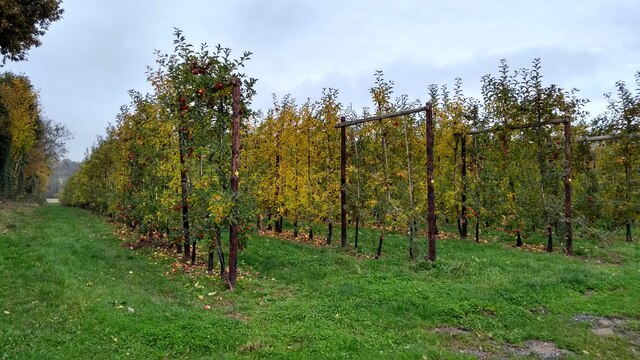
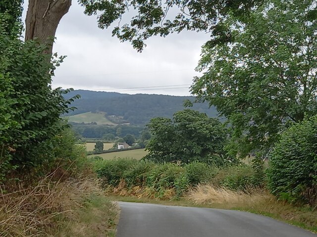
Hallhouse Coppice is a picturesque woodland area located in the county of Worcestershire, England. Situated on the outskirts of the village of Hallhouse, this woodland covers an area of approximately 100 acres and is renowned for its natural beauty and diverse ecosystem.

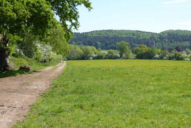
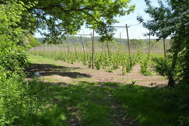
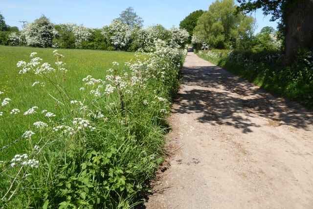
The coppice is predominantly made up of mature deciduous trees, including oak, ash, beech, and birch, which create a dense canopy and provide a haven for a wide range of flora and fauna. The forest floor is covered in a rich carpet of wildflowers, such as bluebells and primroses, which bloom in the spring and add a vibrant burst of color to the landscape.

The woodland is intersected by a network of walking trails, allowing visitors to explore its beauty at their own pace. These paths wind through the trees, providing glimpses of wildlife, such as deer, squirrels, and a variety of bird species, including woodpeckers and owls.

Hallhouse Coppice is also home to a small pond, which attracts a variety of aquatic life, including frogs, newts, and dragonflies. The tranquility of the water offers a peaceful spot for visitors to relax and observe the natural surroundings.

The woodland is managed by the local council and is open to the public year-round. It is a popular destination for nature enthusiasts, hikers, and families looking to escape the hustle and bustle of everyday life. Whether it's a leisurely stroll or a more adventurous hike, Hallhouse Coppice offers a serene and enchanting experience for all.

If you have any feedback on the listing, please let us know in the comments section below.

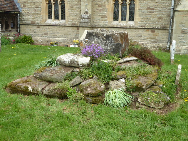
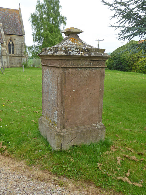
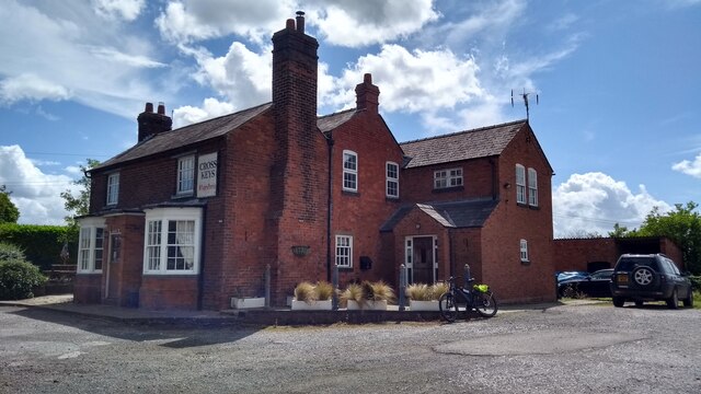
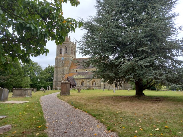
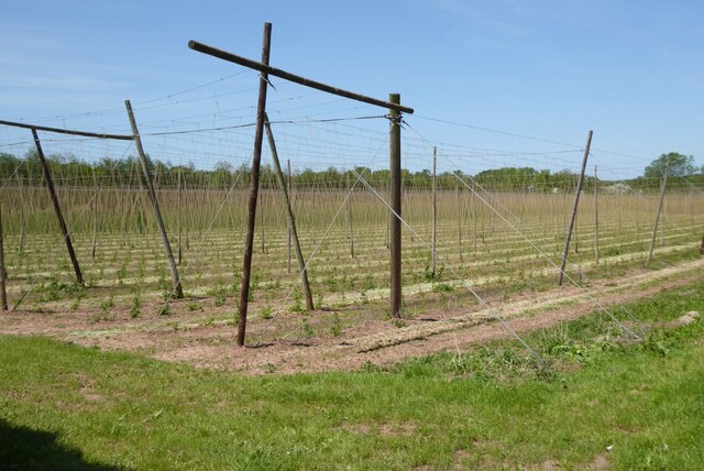
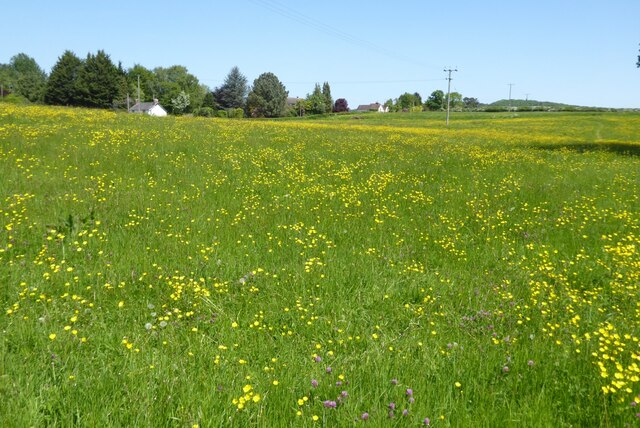
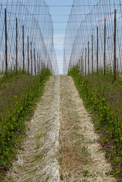
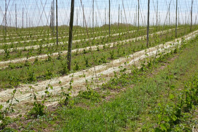
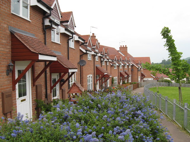
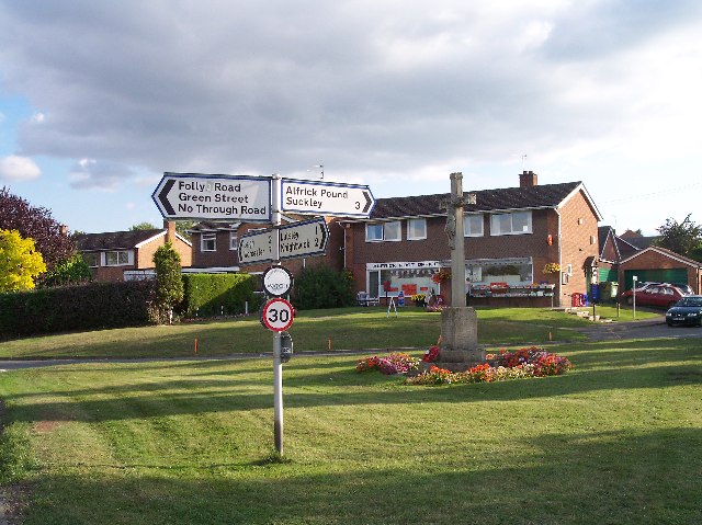
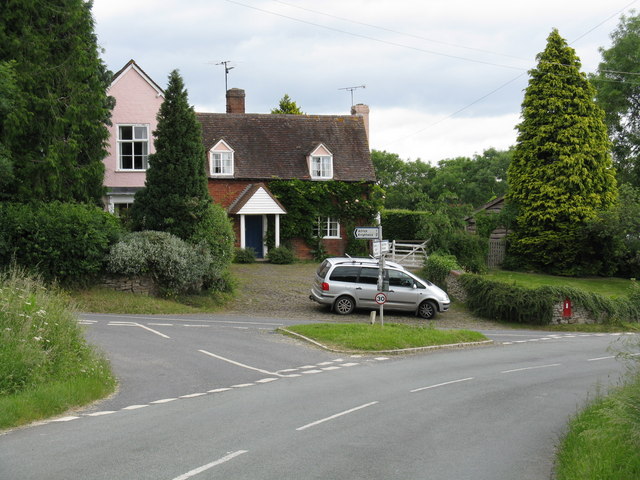
Hallhouse Coppice Images

Images are sourced within 2km of 52.168221/-2.3976603 or Grid Reference SO7252. Thanks to Geograph Open Source API. All images are credited.

Apple Harvest Apples now grow where once there were hops.
Apple Harvest
Apples now grow where once there were hops.
Old Bridge Marker on Mousehole Bridge, Suckley parish Bridge Marker inscribed in a recess in the east parapet of Mousehole Bridge on Leigh Brook, southwest of Alfrick Pound. Suckley parish. Inscribed MARTLEY R D COUNCIL / 1928 (remainder illegible).

Milestone Society National ID: WO_SUCK01br
Old Bridge Marker on Mousehole Bridge, Suckley parish
Bridge Marker inscribed in a recess in the east parapet of Mousehole Bridge on Leigh Brook, southwest of Alfrick Pound. Suckley parish. Inscribed MARTLEY R D COUNCIL / 1928 (remainder illegible). Milestone Society National ID: WO_SUCK01br
Old Bridge Marker on Mousehole Bridge, Suckley parish Bridge Marker inscribed in a recess in the west parapet of Mousehole Bridge on Leigh Brook, southwest of Alfrick Pound. Suckley parish. Inscribed MOUSEHOLE BRIDGE (remainder illegible).

Milestone Society National ID: WO_SUCK02br
Old Bridge Marker on Mousehole Bridge, Suckley parish
Bridge Marker inscribed in a recess in the west parapet of Mousehole Bridge on Leigh Brook, southwest of Alfrick Pound. Suckley parish. Inscribed MOUSEHOLE BRIDGE (remainder illegible). Milestone Society National ID: WO_SUCK02br
Church of St John the Baptist, Suckley Parish church. 1878/9 by Hopkins on site of former medieval church. Listed Grade II.
Church of St John the Baptist, Suckley
Parish church. 1878/9 by Hopkins on site of former medieval church. Listed Grade II.
The Old Rectory, Suckley Former rectory, now house. c1850 by A Perkins. Brick with stone dressings,
slate roof. Large Jacobeathan style house. Listed Grade II.
The Old Rectory, Suckley
Former rectory, now house. c1850 by A Perkins. Brick with stone dressings, slate roof. Large Jacobeathan style house. Listed Grade II.
Lower Court, Suckley Grade II Listed farmhouse. Early 19th century rebuilding of 16th century house on site. Part stucco, part painted brick with hipped roof.
Lower Court, Suckley
Grade II Listed farmhouse. Early 19th century rebuilding of 16th century house on site. Part stucco, part painted brick with hipped roof.
Base of preaching cross, Suckley Probably 14th  century and Listed Grade II.
Base of preaching cross, Suckley
Probably 14th century and Listed Grade II.
Monument to Walker Family, 35 yards south of the Church of St John the Baptist, Suckley Listed Grade II.
Monument to Walker Family, 35 yards south of the Church of St John the Baptist, Suckley
Listed Grade II.
The Cross Keys on a summer Sunday
St John the Baptist Suckley I don't know if there was ever an earlier church on this site, but this building dates entirely from C19.
St John the Baptist Suckley
I don't know if there was ever an earlier church on this site, but this building dates entirely from C19.
Looking towards Suckley from Acton Green Beautiful hilly countryside around here. A mixture of woods, orchards and hop fields.
Looking towards Suckley from Acton Green
Beautiful hilly countryside around here. A mixture of woods, orchards and hop fields.
Farmland at Suckley The footpath actually follows the hedgerow to the right, on the occasion of this picture I was photographing the Suckley Quarter Marathon which was following the track on the left.  The wooded Suckley Hills can be seen in the background.
Farmland at Suckley
The footpath actually follows the hedgerow to the right, on the occasion of this picture I was photographing the Suckley Quarter Marathon which was following the track on the left. The wooded Suckley Hills can be seen in the background.
A hop field A hop field in Suckley.  Hop fields are generally known as hop gardens, in Herefordshire they are known as hopyards, though this is just over the border in Worcestershire.
A hop field
A hop field in Suckley. Hop fields are generally known as hop gardens, in Herefordshire they are known as hopyards, though this is just over the border in Worcestershire.
Farm drive Cow parsley in flower on the verge of a farm drive in Suckley.
Farm drive
Cow parsley in flower on the verge of a farm drive in Suckley.
A hopyard in Suckley Known as hop gardensin Ken, in this part of the country hop fields are known as hopyards.  Here the hops are just starting to grow up the twine.
A hopyard in Suckley
Known as hop gardensin Ken, in this part of the country hop fields are known as hopyards. Here the hops are just starting to grow up the twine.
Buttercups in field Buttercups in field in Suckley.
Buttercups in field
Buttercups in field in Suckley.
Hopyard in Suckley May and the hops are beginning to grow up the twine.
Hopyard in Suckley
May and the hops are beginning to grow up the twine.
Hopyard in Suckley
Hopyard in Suckley
Show me another place!

Hallhouse Coppice is located at Grid Ref: SO7252 (Lat: 52.168221, Lng: -2.3976603)

Administrative County: Worcestershire

District: Malvern Hills

Police Authority: West Mercia

What 3 Words

///funny.prosper.trickles. Near Evesbatch, Herefordshire

Nearby Locations

Hallhouse Coppice

Related Wikis

Suckley

Suckley is a village and civil parish in the Malvern Hills District in the county of Worcestershire, England, close to the border with Herefordshire....

Alfrick

Alfrick is a village and civil parish in the Malvern Hills district of Worcestershire, England, about seven miles west of Worcester. == Amenities == The...

Alfrick Pound

Alfrick Pound is a small village in the county of Worcestershire, England, in the United Kingdom. == Location == Alfrick Pound village is located on the...

Suckley railway station

Suckley railway station was a station in Suckley, Worcestershire, England. The station was opened on 1 March 1878 and closed on 7 September 1964. ��2...

Yearsett railway station

Yearsett railway station was a station to the southeast of Brockhampton, Herefordshire, England. The station was opened on 2 May 1874 as a temporary terminus...

Knightwick railway station

Knightwick railway station was a station in Knightwick, Worcestershire, England. The station was opened on 2 May 1874 and closed on 7 September 1964....

Osebury Rock

Osebury Rock (also known as Oseberrow or Rosebury) is a cliff on the River Teme near Lulsley in Worcestershire, England where fragmentary rocks of the...

Knightwick

Knightwick is a small village and civil parish (with Doddenham) in the Malvern Hills district in the county of Worcestershire, England. == History... ==

Nearby Amenities

Located within 500m of 52.168221,-2.3976603
Suckley Hills
Natural: peak
Source: NPE
Lat/Long: 52.1646841/-2.3959536
Bench
Lat/Long: 52.1655208/-2.3969157
Barrier: kissing_gate
Foot: yes
Lat/Long: 52.1670456/-2.3941797
Barrier: kissing_gate
Foot: yes
Lat/Long: 52.1670584/-2.393853
Blackhouse Wood Nature Reserve
Information: board
Tourism: information
Lat/Long: 52.1670895/-2.3938443
Ford: yes
Lat/Long: 52.1649062/-2.4015936
Parking
Capacity: 2
Lat/Long: 52.1670871/-2.3940081
Bench
Lat/Long: 52.1711256/-2.3956248
Power: pole
Lat/Long: 52.1705439/-2.4029575
Power: pole
Lat/Long: 52.1706582/-2.40165
Hall House Suckley
Power: pole
Transformer: distribution
Voltage Primary: 11000
Lat/Long: 52.1667749/-2.4014702
Power: pole
Lat/Long: 52.1679989/-2.4019665
Power: pole
Lat/Long: 52.1692385/-2.402468
Power: pole
Lat/Long: 52.17014/-2.4014622
Power: pole
Lat/Long: 52.1709346/-2.4005851
Power: pole
Lat/Long: 52.1723846/-2.3991448
Power: pole
Lat/Long: 52.1715334/-2.3993399
Power: pole
Lat/Long: 52.1713771/-2.3982851
Power: pole
Lat/Long: 52.1711562/-2.3994177
Blackhouse Farm
Power: pole
Transformer: distribution
Voltage Primary: 11000
Lat/Long: 52.1714832/-2.3977447
Power: pole
Lat/Long: 52.1715128/-2.3971894
Power: pole
Lat/Long: 52.1715457/-2.3965973
Power: pole
Lat/Long: 52.1715819/-2.3960173
Crews Court
Power: pole
Transformer: distribution
Voltage Primary: 11000
Lat/Long: 52.1715621/-2.3953266
Power: pole
Lat/Long: 52.1715498/-2.3948358
Power: pole
Lat/Long: 52.172179/-2.3945126
The data included in this document is from www.openstreetmap.org. The data is made available under ODbL.

Have you been to Hallhouse Coppice?

Leave your review of Hallhouse Coppice below (or comments, questions and feedback).