Hengrove Wood
Wood, Forest in Gloucestershire
England
Hengrove Wood

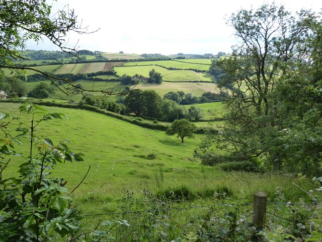
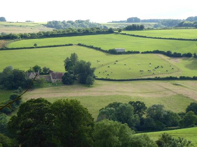
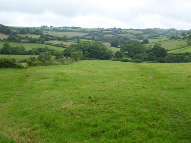
Hengrove Wood is a picturesque woodland located in the county of Gloucestershire, England. Spread over an area of approximately 200 acres, it is situated in the heart of the beautiful Gloucestershire countryside. The wood is part of the larger Forest of Dean, which is known for its rich biodiversity and stunning natural landscapes.
Hengrove Wood is primarily composed of mixed deciduous trees, including oak, beech, and ash. These tall, majestic trees create a dense canopy that provides shade and shelter for a variety of wildlife. The forest floor is covered in a lush carpet of ferns, mosses, and wildflowers, creating a vibrant and enchanting atmosphere.
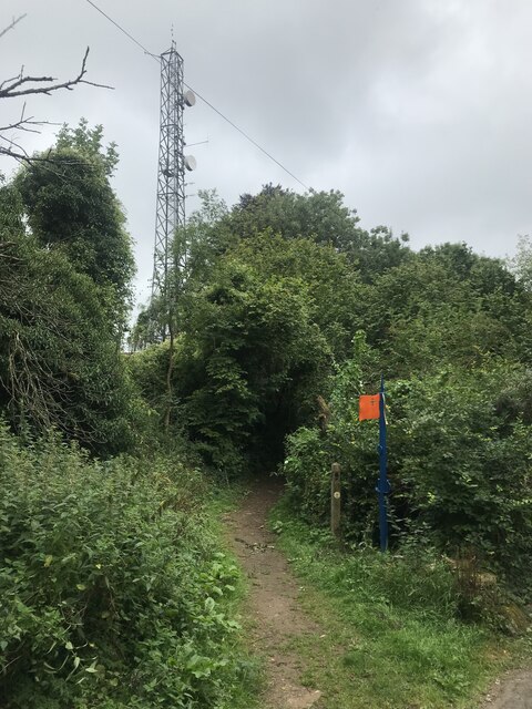
The wood is crisscrossed by a network of footpaths and trails, making it a popular destination for hikers, nature enthusiasts, and dog walkers. These paths lead visitors through the heart of the woodland, allowing them to explore its hidden corners and discover its many treasures.
The wood is home to a diverse range of wildlife, including deer, foxes, badgers, and a myriad of bird species. Birdwatchers flock to Hengrove Wood to catch a glimpse of elusive species such as woodpeckers, owls, and warblers. The tranquil setting and abundance of wildlife make it a perfect spot for nature photography and birdwatching.
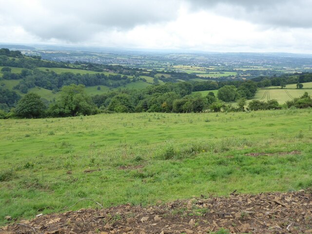
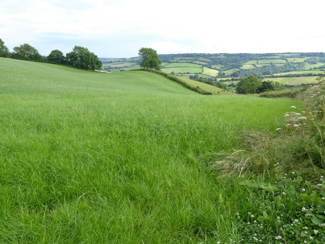
Hengrove Wood offers a peaceful retreat away from the hustle and bustle of everyday life. It provides a wonderful opportunity to connect with nature, breathe in the fresh air, and immerse oneself in the beauty of the Gloucestershire countryside.
If you have any feedback on the listing, please let us know in the comments section below.
Hengrove Wood Images
Images are sourced within 2km of 51.442312/-2.3976073 or Grid Reference ST7271. Thanks to Geograph Open Source API. All images are credited.


Hengrove Wood is located at Grid Ref: ST7271 (Lat: 51.442312, Lng: -2.3976073)
Unitary Authority: South Gloucestershire
Police Authority: Avon and Somerset
What 3 Words
///towers.drifting.suspends. Near Wick, Gloucestershire
Nearby Locations
Related Wikis
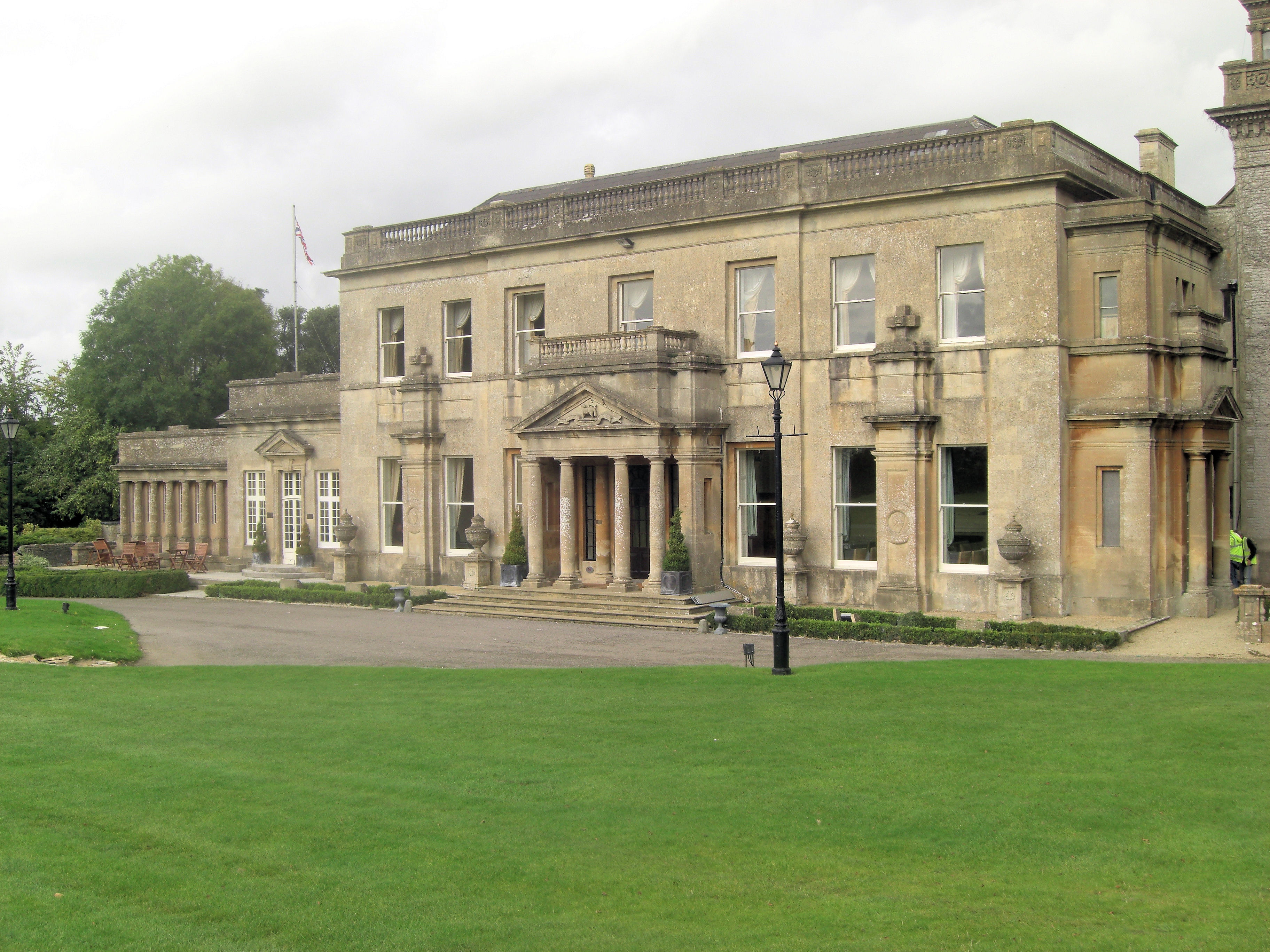
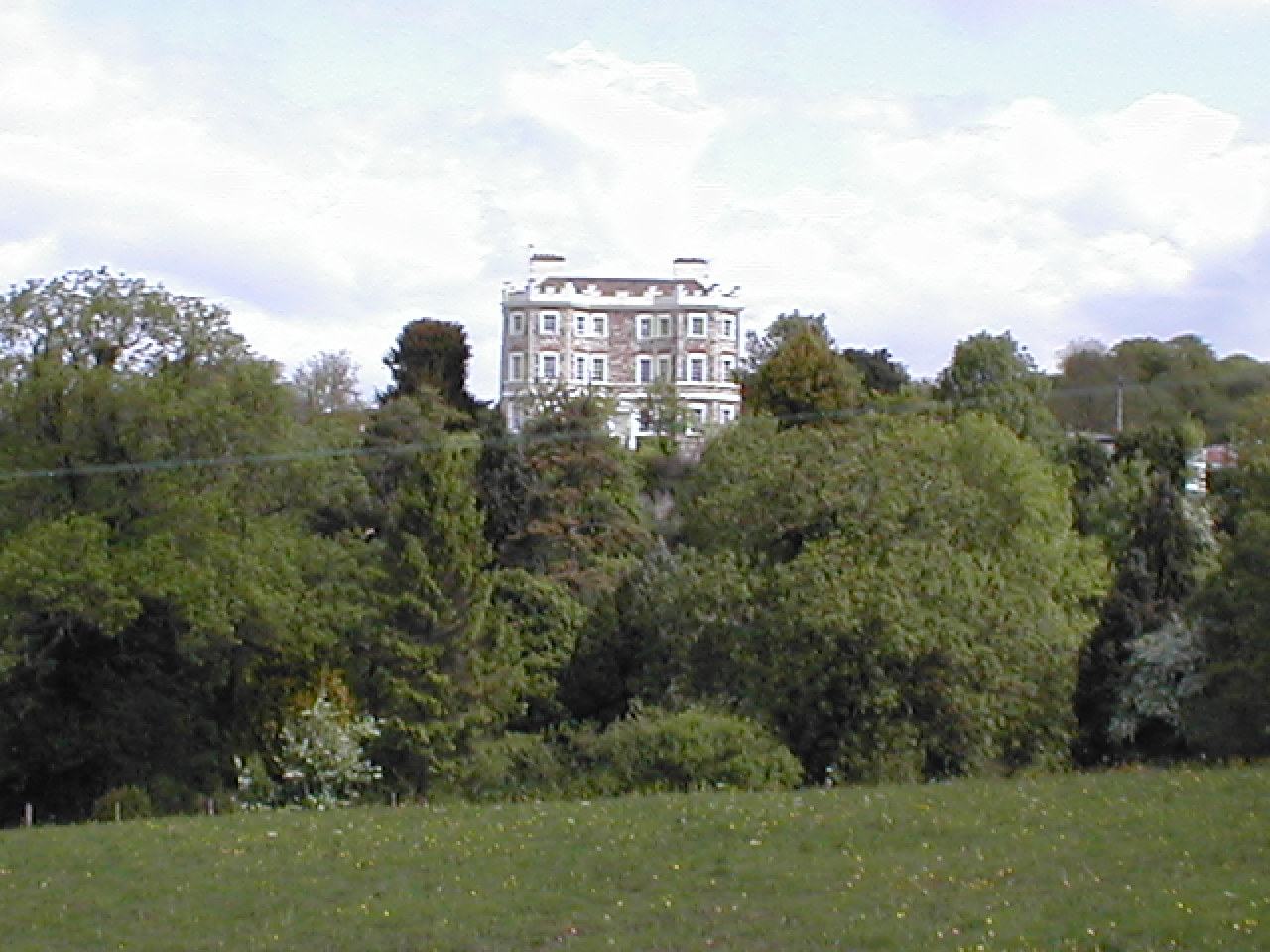
Tracy Park
Tracy Park is an estate near Wick, South Gloucestershire, close to the boundary with Bath and North East Somerset and approximately 5 miles (8.0 km) from...
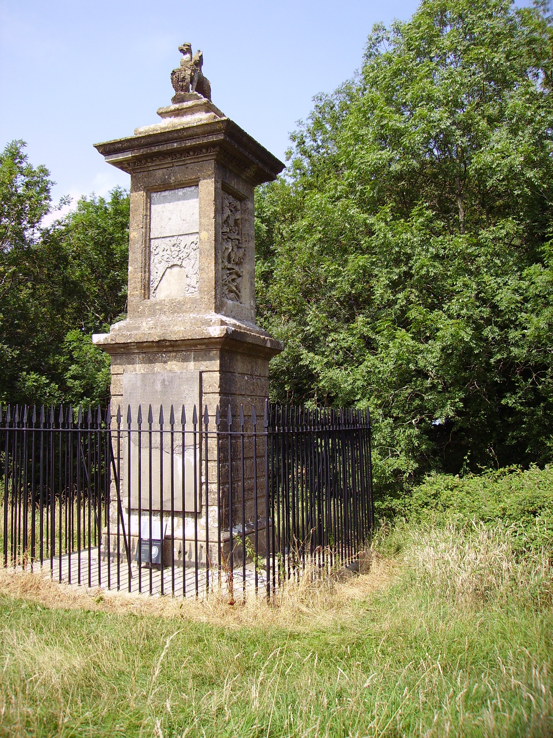
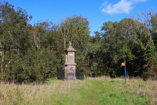
Sir Bevil Grenville's Monument
Sir Bevil Grenville's Monument is a monument erected in 1720 on Lansdown Hill, then called Lansdowne Hill, in Charlcombe parish about 4 miles (6.4 km)...
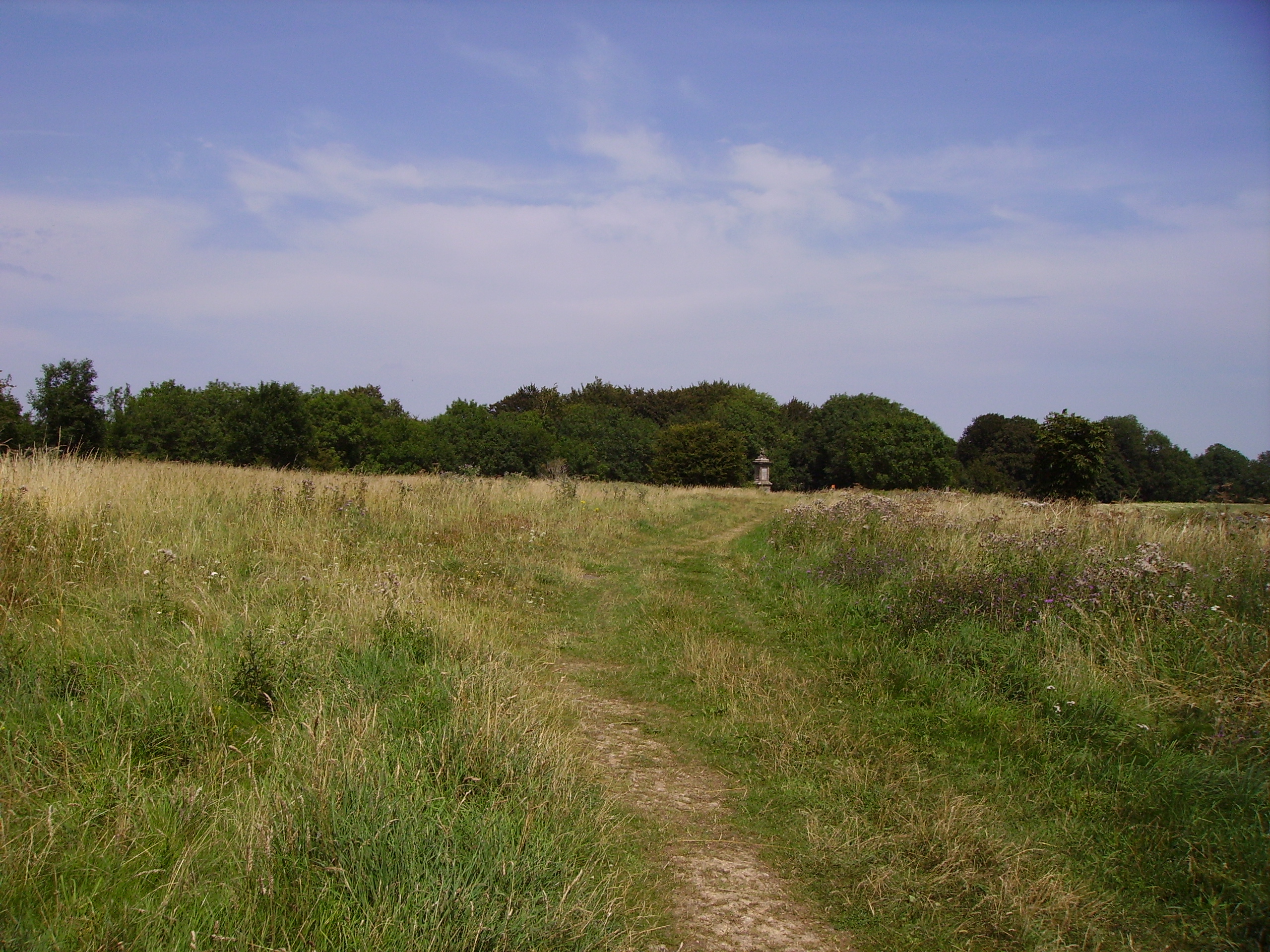
Battle of Lansdowne
The First English Civil War battle of Lansdowne, or Lansdown, was fought on 5 July 1643, at Lansdowne Hill, near Bath, Somerset, England. Although the...

Congrove Field and The Tumps
Congrove Field and The Tumps is a (grid reference ST713698) is a 14.2 hectares (35 acres) biological Site of Special Scientific Interest (SSSI) on Lansdown...
Beach, Gloucestershire
Beach is a hamlet in South Gloucestershire, England, in the parish of Bitton, on the lower northern slopes of Lansdown Hill. It is about 1 mile north-west...
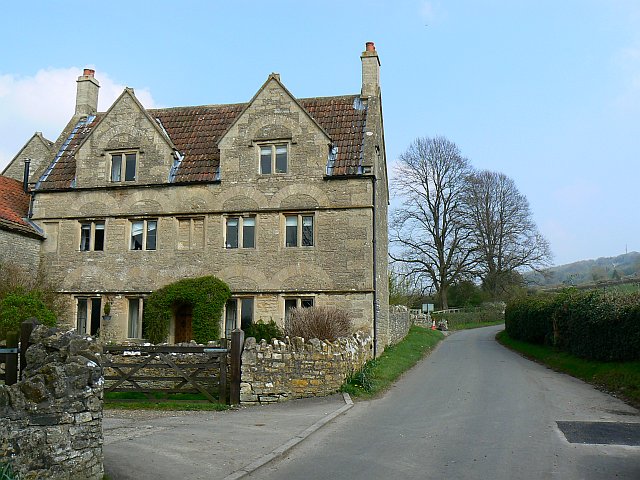
Wick, Gloucestershire
Wick is a village in South Gloucestershire, England. It is the main settlement in the civil parish of Wick and Abson. The population of this civil parish...
Bury Manor
Bury Manor Castle is an early 19th-century house in the village of Wick, South Gloucestershire, England. It was built in Gothic Revival style.The three...

Cold Ashton
Cold Ashton is a village in South Gloucestershire, England. It is located 5 miles (8.0 km) north of Bath, near the junction between the A46 and A420 roads...
Nearby Amenities
Located within 500m of 51.442312,-2.3976073Have you been to Hengrove Wood?
Leave your review of Hengrove Wood below (or comments, questions and feedback).