Rock Wood
Wood, Forest in Worcestershire Malvern Hills
England
Rock Wood
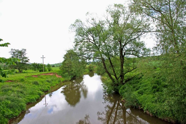
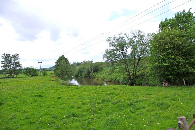
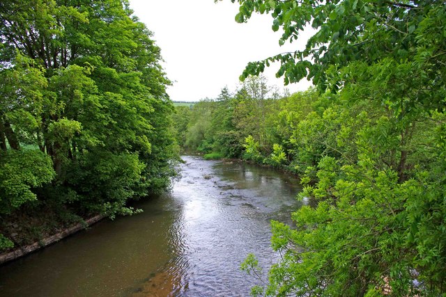
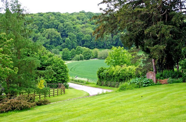
Rock Wood is a picturesque woodland located in Worcestershire, England. Situated within the larger area known as the Wyre Forest, Rock Wood is a popular destination for nature enthusiasts and outdoor lovers. Covering an area of approximately 100 hectares, the woodland is home to a diverse range of flora and fauna, making it an important site for conservation.
The wood is primarily composed of oak and birch trees, with their towering canopies providing shade and shelter to the woodland floor. These ancient trees have been standing for centuries, giving Rock Wood a sense of history and tranquility. In the springtime, the forest is adorned with a vibrant display of bluebells, creating a stunning carpet of color.
Rock Wood is crisscrossed by a network of footpaths and trails, making it easily accessible for visitors. These pathways lead to various points of interest, including a beautiful waterfall known as the Rock Water. This natural feature adds to the charm of the wood and provides a soothing soundtrack as the water cascades down the rocks.
The wood is also home to a variety of wildlife, including deer, foxes, and a wide array of bird species. Birdwatchers are often treated to sightings of woodpeckers, nuthatches, and tawny owls.
Overall, Rock Wood offers a peaceful retreat from the hustle and bustle of everyday life. Its natural beauty and tranquil atmosphere make it a must-visit destination for those seeking solace in nature.
If you have any feedback on the listing, please let us know in the comments section below.
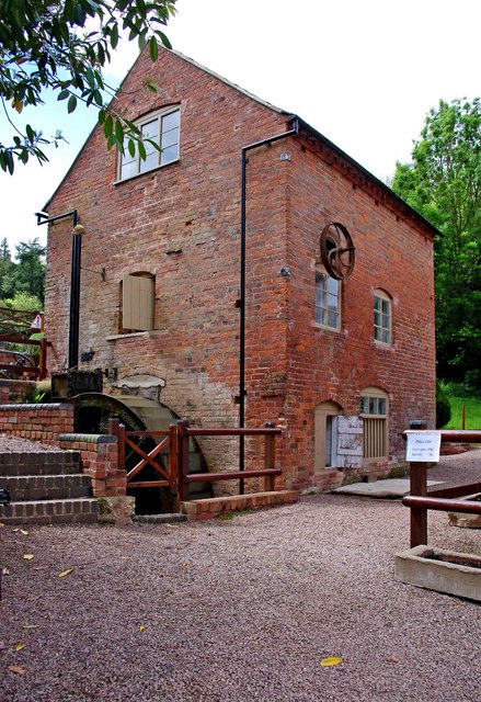
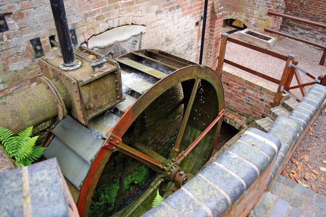
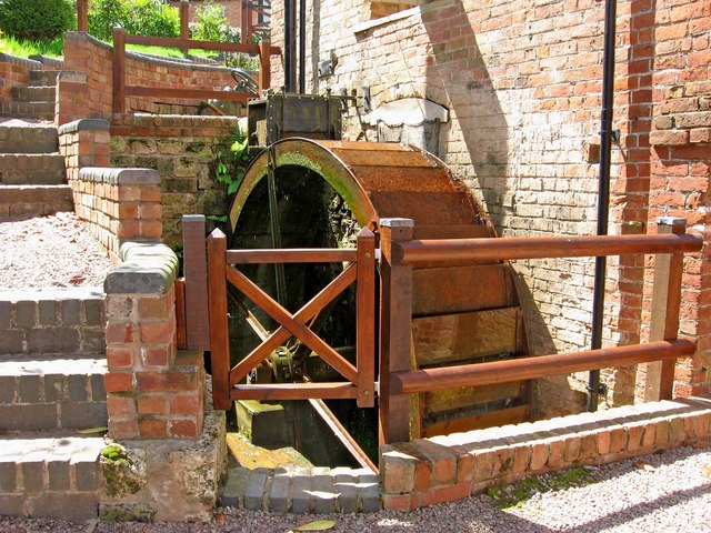
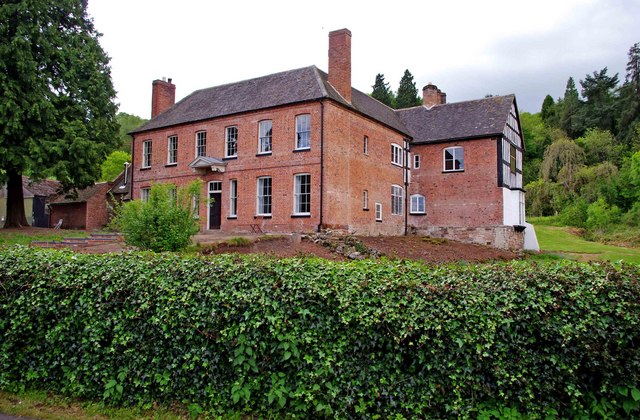
Rock Wood Images
Images are sourced within 2km of 52.25926/-2.4049797 or Grid Reference SO7262. Thanks to Geograph Open Source API. All images are credited.
Rock Wood is located at Grid Ref: SO7262 (Lat: 52.25926, Lng: -2.4049797)
Administrative County: Worcestershire
District: Malvern Hills
Police Authority: West Mercia
What 3 Words
///blame.adjusting.martini. Near Collington, Herefordshire
Nearby Locations
Related Wikis

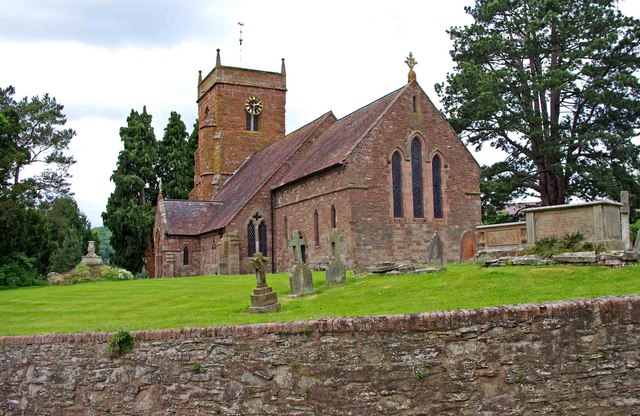
Shelsley Walsh
Shelsley Walsh is a small village and civil parish in Worcestershire, England, on the western side of the River Teme. For administrative purposes it is...

Shelsley Beauchamp
Shelsley Beauchamp or Great Shelsley is a village and civil parish 9 miles (14 km) north west of Worcester, in the Malvern Hills district, in the county...
Ham Castle
Ham Castle (also known as Home or Homme Castle) is located in Worcestershire at the bottom of a wooded escarpment (and close to the River Teme), within...
Clifton upon Teme
Clifton upon Teme is a village and civil parish in the Malvern Hills District in the county of Worcestershire, England. == Amenities == Named after the...

Shelsleys
The Shelsleys are a group of small villages in the Malvern Hills District in the county of Worcestershire, England. Situated on either wide of the Teme...
Sapey Common
Sapey Common is a small village in Herefordshire, England, near the border with Worcestershire, 10 km (6.2 mi) north east of Bromyard . Although the area...

Woodbury Hill
Woodbury Hill is a hill near the village of Great Witley, about 5 miles (8 km) south-west of Stourport-on-Severn in Worcestershire, England. It is the...

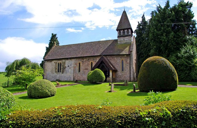
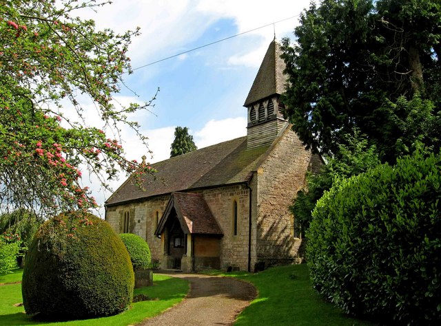
Old St Bartholomew's Church, Lower Sapey
Old St Bartholomew's Church is a redundant Anglican church near the village of Lower Sapey, Worcestershire, England. It is recorded in the National Heritage...
Nearby Amenities
Located within 500m of 52.25926,-2.4049797Have you been to Rock Wood?
Leave your review of Rock Wood below (or comments, questions and feedback).