Brockabank Wood

Wood, Forest in Yorkshire Craven

England

Brockabank Wood

Fingerpost sign next to River Wenning A repaired fingerpost sign near Clapham Station, North Yorkshire
Fingerpost sign next to River Wenning Credit: Bob McPartland

Brockabank Wood is a picturesque woodland located in the county of Yorkshire, England. Situated near the village of Brockabank, the wood encompasses an area of approximately 100 acres and is a popular destination for nature enthusiasts and hikers alike.

The wood is predominantly made up of a diverse range of deciduous trees, including oak, beech, and ash, which create a stunning canopy of colors during the autumn months. The forest floor is covered with a variety of wildflowers, ferns, and mosses, adding to the area's natural beauty. Numerous walking trails wind their way through the wood, allowing visitors to explore its enchanting surroundings.

Brockabank Wood is home to a rich abundance of wildlife, providing a sanctuary for a wide range of species. Birdwatchers can spot various birds, including woodpeckers, owls, and finches. Additionally, the wood is home to small mammals such as squirrels, rabbits, and voles. If lucky, visitors may even catch a glimpse of larger mammals, such as deer or foxes, which occasionally roam the area.

The wood is well-maintained and offers facilities such as picnic areas and designated parking spaces, making it an ideal destination for a day trip or a leisurely stroll. The tranquility and natural beauty of Brockabank Wood make it a perfect escape from the hustle and bustle of everyday life, providing visitors with a peaceful retreat in the heart of Yorkshire.

If you have any feedback on the listing, please let us know in the comments section below.

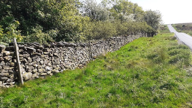
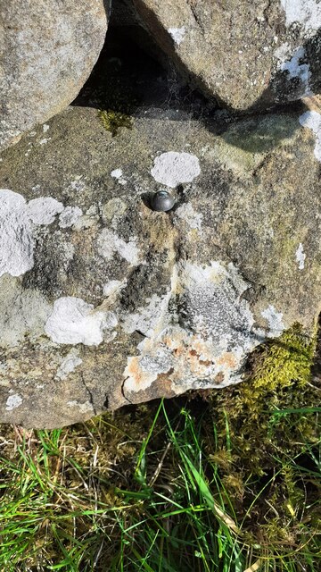
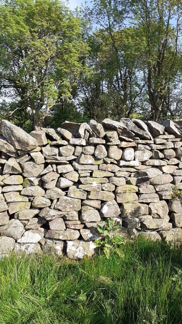
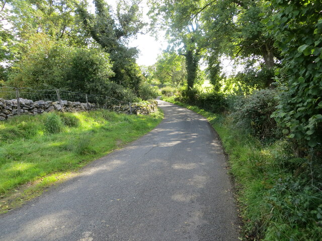
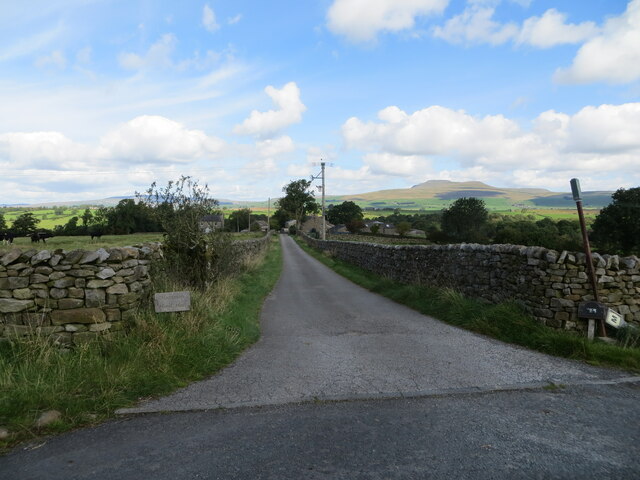
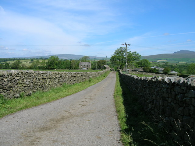
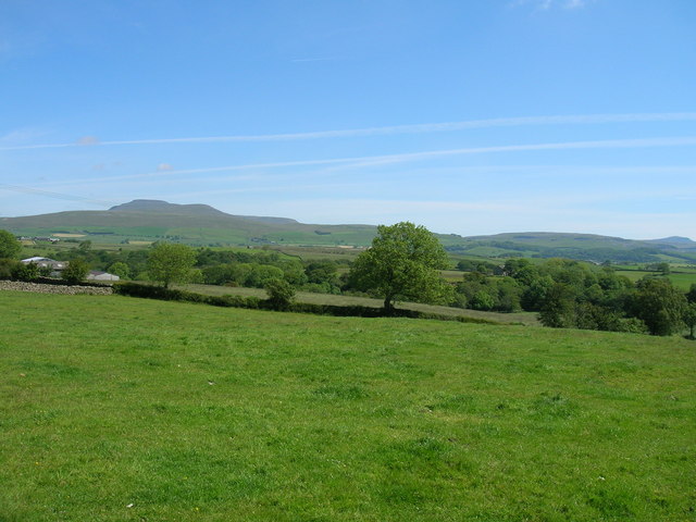
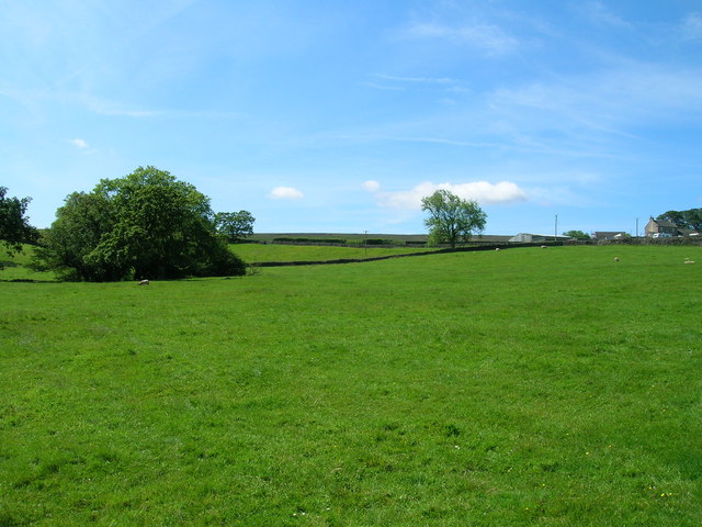
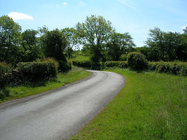
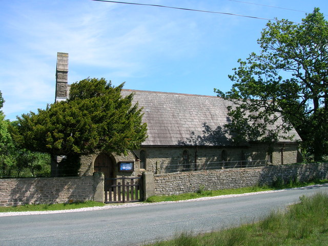
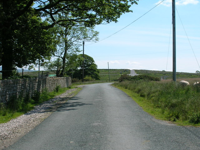
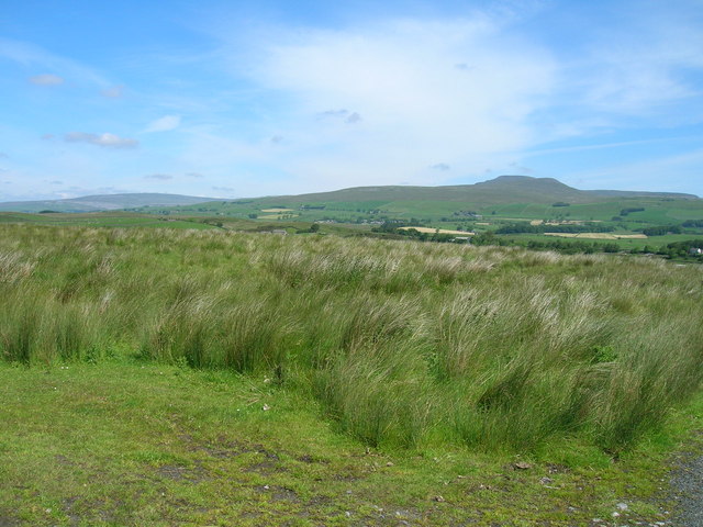
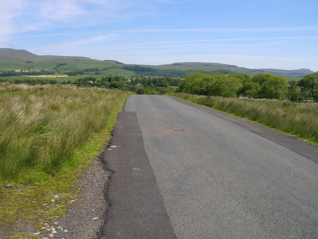
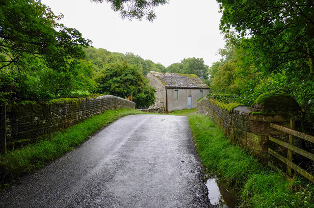
Brockabank Wood Images

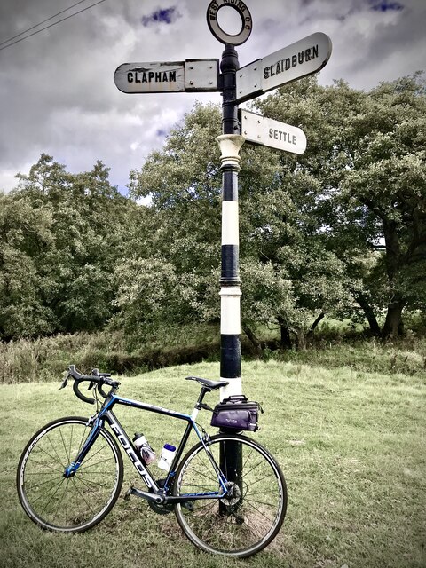
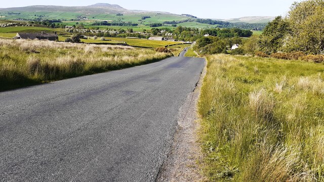
Images are sourced within 2km of 54.087968/-2.4229538 or Grid Reference SD7265. Thanks to Geograph Open Source API. All images are credited.

Fingerpost sign next to River Wenning A repaired fingerpost sign near Clapham Station, North Yorkshire
Fingerpost sign next to River Wenning
A repaired fingerpost sign near Clapham Station, North Yorkshire
Sheep grazing on Clapham Moor
Looking NE along moorland road leading to Clapham Station
Benchmark on roadside wall west of Meldingscale Farm Ordnance Survey rivet benchmark levelled at 132.094m above Newlyn Datum verified 1953
Benchmark on roadside wall west of Meldingscale Farm
Ordnance Survey rivet benchmark levelled at 132.094m above Newlyn Datum verified 1953
Dry stone wall beside rural road at Meldingscale Farm There is an Ordnance Survey benchmark on the stone at the base of the wall right of the nearest fence post at the left hand edge of the image
Dry stone wall beside rural road at Meldingscale Farm
There is an Ordnance Survey benchmark on the stone at the base of the wall right of the nearest fence post at the left hand edge of the image
Benchmark on dry stone wall on west side of road south of Wenning Bridge Ordnance Survey rivet benchmark levelled at 140.568m above Newlyn Datum verified 1953
Benchmark on dry stone wall on west side of road south of Wenning Bridge
Ordnance Survey rivet benchmark levelled at 140.568m above Newlyn Datum verified 1953
Dry stone wall and trees on southeast side of road on Clapham Moor There is an Ordnance Survey benchmark <a href="https://www.geograph.org.uk/photo/7500700">SD7367 : Benchmark on dry stone wall on west side of road south of Wenning Bridge</a> on a stone at the base of the wall left of a foxglove
Dry stone wall and trees on southeast side of road on Clapham Moor
There is an Ordnance Survey benchmark SD7367 : Benchmark on dry stone wall on west side of road south of Wenning Bridge on a stone at the base of the wall left of a foxglove
Hollin Lane at Ratton Syke Bridge Looking south-eastward.
Hollin Lane at Ratton Syke Bridge
Looking south-eastward.
Access to Hammon Head Hall Looking northward from Bloe Beck Lane. Ingleborough is visible on the skyline.
Access to Hammon Head Hall
Looking northward from Bloe Beck Lane. Ingleborough is visible on the skyline.
Track to Hammonhead
Track to Hammonhead
Farmland near Hammonhead
Farmland off Hollin Lane
Hollin lane towards Keasden
Keasden Church
Keasden Church
Reebys Lane heading east
Clapham Moor
Clapham Moor
Minor road towards Clapham
Bridge over the Keasden Brook The lane is Hollin Lane on the Mewith to Eldroth road
Bridge over the Keasden Brook
The lane is Hollin Lane on the Mewith to Eldroth road
Show me another place!

Brockabank Wood is located at Grid Ref: SD7265 (Lat: 54.087968, Lng: -2.4229538)

Division: West Riding

Administrative County: North Yorkshire

District: Craven

Police Authority: North Yorkshire

What 3 Words

///slurs.cheek.piled. Near High Bentham, North Yorkshire

Related Wikis

Keasden

Keasden is a hamlet in the civil parish of Clapham-cum-Newby, in the Craven district of the county of North Yorkshire, in the north-western England. It...

Clapham railway station

Clapham is a railway station on the Bentham Line, which runs between Leeds and Morecambe via Skipton. The station, situated 48 miles (77 km) north-west...

Keasden Beck

Keasden Beck is a stream in Yorkshire (formerly the West Riding) rising near Keasden Head, joining the River Wenning south west of Clapham. == References... ==

Clapham cum Newby

Clapham cum Newby is a civil parish in the Craven district of North Yorkshire, England. It was formerly in the Settle Rural District. It contains the villages...

Eldroth

Eldroth is a village in North Yorkshire, England. It is in the civil parish of Lawkland, part of the former Craven District, some 3.25 miles (5.23 km)...

Clapham, North Yorkshire

Clapham is a village in the civil parish of Clapham cum Newby in the Craven district of North Yorkshire, England. It was previously in the West Riding...

Austwick

Austwick is a village and civil parish in the Craven district of North Yorkshire, England, about 5 miles (8 km) north-west of Settle. The village is on...

Lawkland

Lawkland is a civil parish in North Yorkshire, England, near the A65 and 4 miles (6.4 km) west of Settle. It lies within the Forest of Bowland Area of...

Related Videos

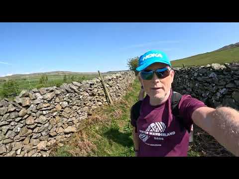
CRO Clapham Circuit - 12 mile walk

and some runners as they passed.

Nearby Amenities

Located within 500m of 54.087968,-2.4229538
Barrier: stile
Material: wood
Source: survey;gps
Stile: stepover
Lat/Long: 54.0900896/-2.4248317
Fixme: longer than this
Lat/Long: 54.0905908/-2.4252038
Barrier: stile
Material: stone
Source: survey;gps
Stile: stepover
Lat/Long: 54.0904144/-2.425123
Fixme: longer than this
Lat/Long: 54.0900497/-2.4247974
Power: pole
Source: Bing
Lat/Long: 54.0847842/-2.4184166
Power: pole
Lat/Long: 54.0855755/-2.4189538
Power: pole
Lat/Long: 54.0863687/-2.4194804
Power: pole
Lat/Long: 54.0885191/-2.4209285
Power: pole
Lat/Long: 54.0890853/-2.4213114
Power: pole
Source: Bing
Lat/Long: 54.0902879/-2.4221212
Power: pole
Source: Bing
Lat/Long: 54.0879431/-2.4205406
Power: pole
Source: Bing
Lat/Long: 54.0871873/-2.4200316
Power: pole
Source: Bing
Lat/Long: 54.0900429/-2.4236035
Power: pole
Source: Bing
Lat/Long: 54.0909314/-2.4225478
Power: pole
Source: Bing
Lat/Long: 54.0915962/-2.422981
Power: pole
Source: Bing
Lat/Long: 54.0922428/-2.4237151
Power: pole
Lat/Long: 54.0897835/-2.4250898
Power: pole
Lat/Long: 54.0895675/-2.4264231
Power: pole
Lat/Long: 54.0894108/-2.4273232
Power: pole
Lat/Long: 54.0892237/-2.4284542
Power: pole
Lat/Long: 54.0885771/-2.429113
Power: pole
Lat/Long: 54.0880491/-2.4297122
Power: pole
Lat/Long: 54.0875988/-2.4302414
Power: pole
Lat/Long: 54.0892252/-2.4297018
The data included in this document is from www.openstreetmap.org. The data is made available under ODbL.

Have you been to Brockabank Wood?

Leave your review of Brockabank Wood below (or comments, questions and feedback).