Cow Ark
Settlement in Yorkshire Ribble Valley
England
Cow Ark

Cow Ark is a small village located in the district of Ribble Valley, in the county of Yorkshire, England. Situated on the slopes of the beautiful Forest of Bowland, it is known for its stunning natural landscapes and picturesque surroundings. The village is situated approximately 8 miles north of Clitheroe, and the River Hodder flows nearby.
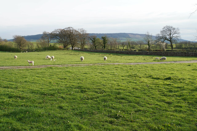
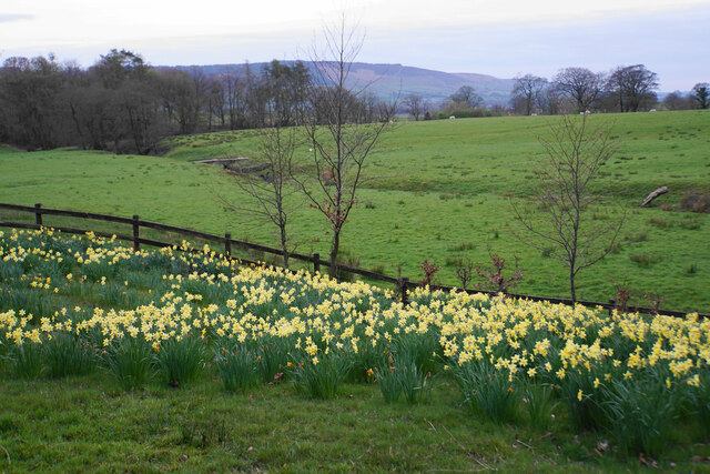
With a population of around 150 people, Cow Ark is a close-knit community that has retained its rural charm over the years. The village is characterized by its traditional stone buildings and quaint cottages, which add to its rustic appeal. Surrounding the village, rolling hills and lush green fields provide a peaceful and idyllic setting.
While small in size, Cow Ark offers a range of amenities to its residents and visitors. The village boasts a charming church, St. Michael's, which dates back to the 19th century and is a prominent feature of the local landscape. Additionally, there is a village hall that serves as a hub for community activities and events.
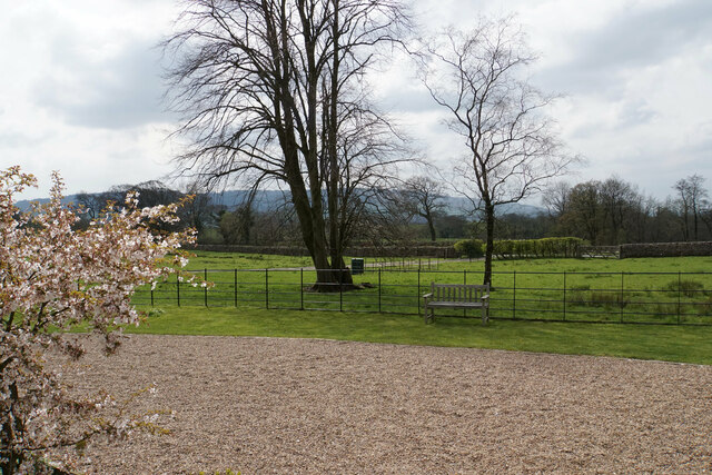
Cow Ark is also a popular destination for outdoor enthusiasts, as it offers numerous opportunities for hiking, cycling, and exploring the surrounding countryside. The Forest of Bowland, designated as an Area of Outstanding Natural Beauty, provides ample trails and paths for nature lovers to enjoy.
Overall, Cow Ark is a serene and picturesque village in Yorkshire, offering a peaceful retreat for those seeking a break from the hustle and bustle of city life.
If you have any feedback on the listing, please let us know in the comments section below.
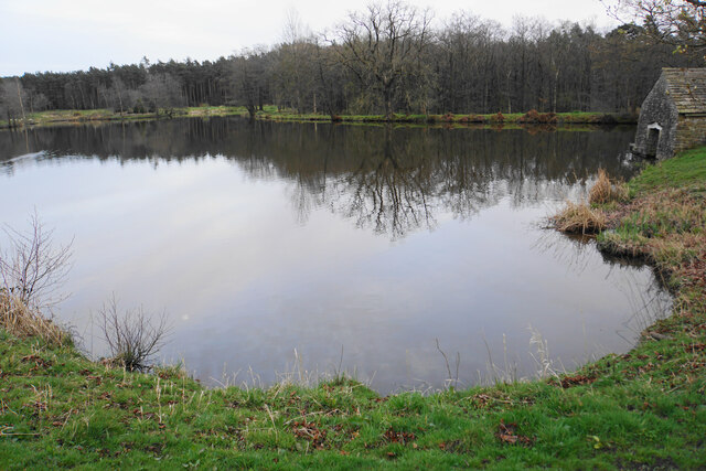
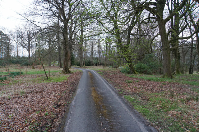
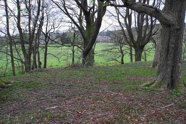
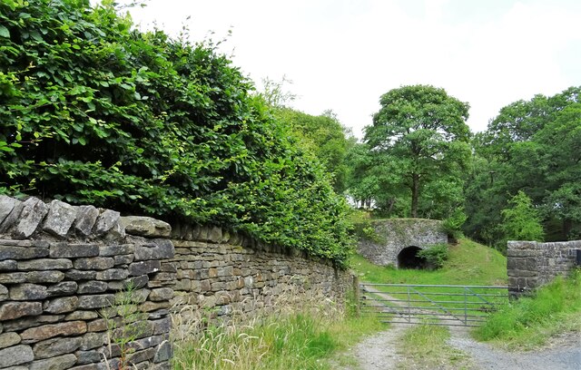
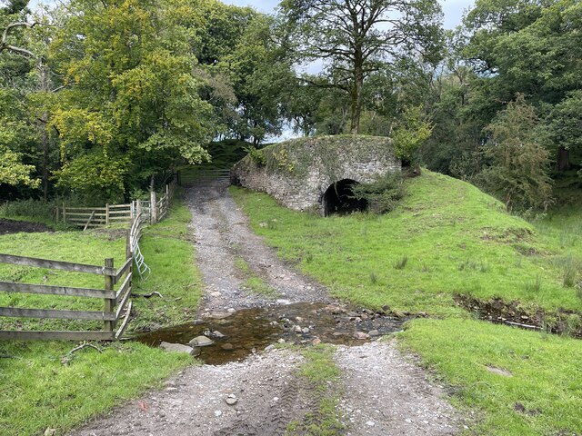
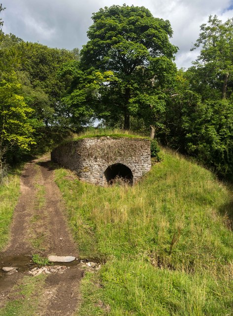
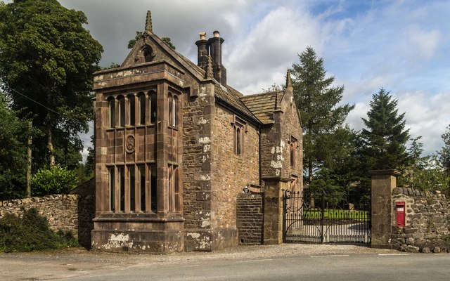
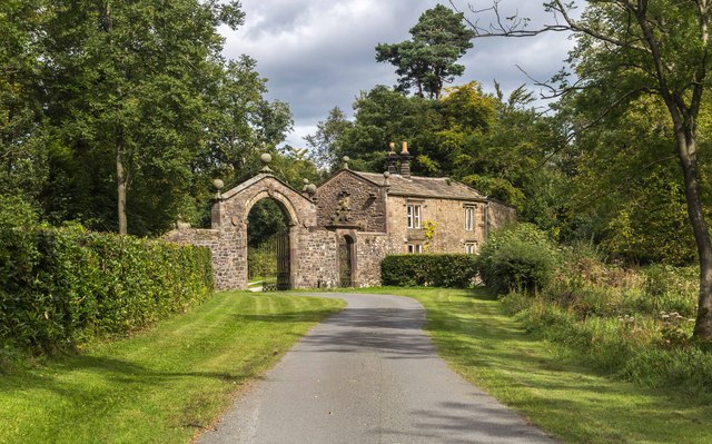
Cow Ark Images
Images are sourced within 2km of 53.905075/-2.498453 or Grid Reference SD6745. Thanks to Geograph Open Source API. All images are credited.


Cow Ark is located at Grid Ref: SD6745 (Lat: 53.905075, Lng: -2.498453)
Division: West Riding
Administrative County: Lancashire
District: Ribble Valley
Police Authority: Lancashire
What 3 Words
///flux.ooze.unfilled. Near Waddington, Lancashire
Nearby Locations
Related Wikis

Cow Ark Farmhouse
Cow Ark Farmhouse is a historic building in the English parish of Bowland Forest Low, Lancashire. It is Grade II listed, built around 1780, and is a sandstone...

Bowland Forest Low
Bowland Forest Low is a civil parish in the Ribble Valley district of Lancashire, England, covering some 5,500 acres (22 km2) of the Forest of Bowland...

Bowland Rural District
Bowland was a rural district in the West Riding of Yorkshire from 1894 to 1974. It was named after the Forest of Bowland, which it included. It was formed...

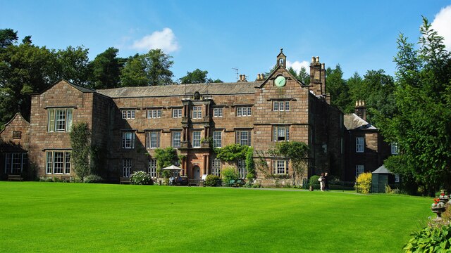
Browsholme Hall
Browsholme Hall is a privately owned Tudor house in the parish of Bowland Forest Low in the borough of Ribble Valley, Lancashire (although historically...

Higher Lees Farmhouse
Higher Lees Farmhouse is an historic building in the English parish of Bowland Forest Low, Lancashire. It is Grade II listed, built around 1780, and is...

Whitewell
Whitewell is a village within the civil parish of Bowland Forest Low and Ribble Valley borough of Lancashire, England. It is in the Forest of Bowland Area...

Whitewell Hotel
Whitewell Hotel is an historic building in the English parish of Bowland Forest Low, Lancashire. It is Grade II listed, built in 1836, and is in sandstone...

Lower Lees Farmhouse
Lower Lees Farmhouse is a historic building in the English parish of Bowland Forest Low, Lancashire. It is Grade II listed, built in 1678, and is a sandstone...
Nearby Amenities
Located within 500m of 53.905075,-2.498453Have you been to Cow Ark?
Leave your review of Cow Ark below (or comments, questions and feedback).