Beggars Bush Plantation
Wood, Forest in Yorkshire Ribble Valley
England
Beggars Bush Plantation

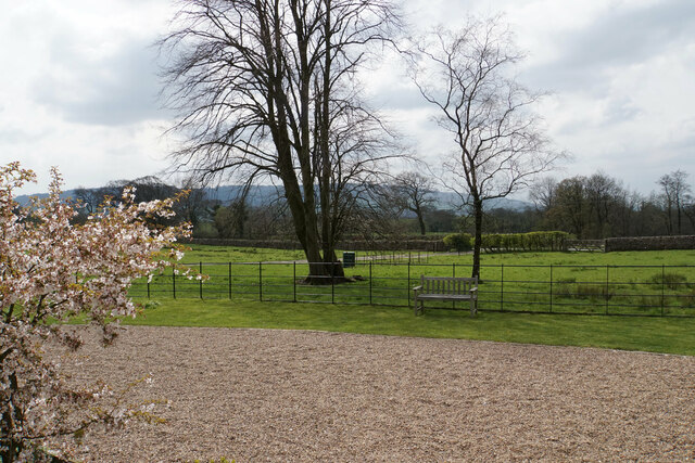
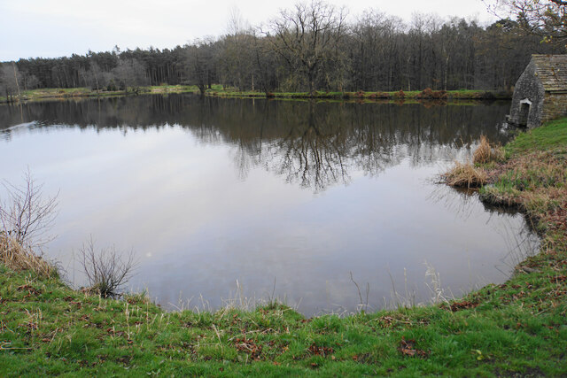
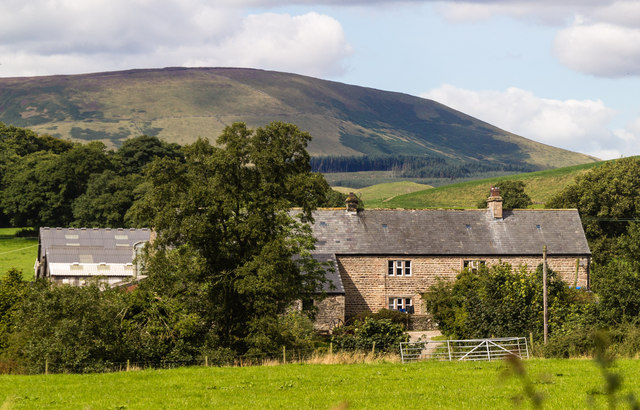
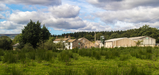
Beggars Bush Plantation is a sprawling woodland located in the county of Yorkshire, England. Covering an area of approximately 200 acres, it is renowned for its natural beauty, diverse ecosystem, and historical significance. Situated near the village of Wood, the plantation is an integral part of the wider Forest of Yorkshire.
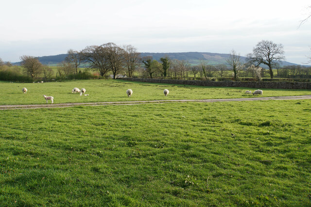
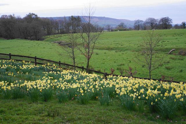
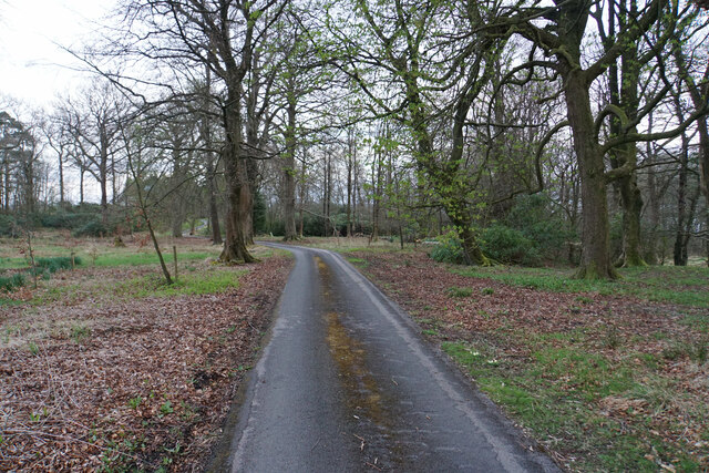
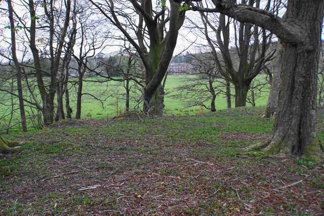
The plantation is characterized by its dense and enchanting woodland, consisting primarily of a mixture of coniferous and deciduous trees. Towering oaks, beeches, and Scots pines dominate the landscape, providing a rich habitat for a wide range of flora and fauna. The forest floor is adorned with a colorful carpet of wildflowers during the spring and summer months, while various species of ferns and mosses thrive in the damp and shaded areas.
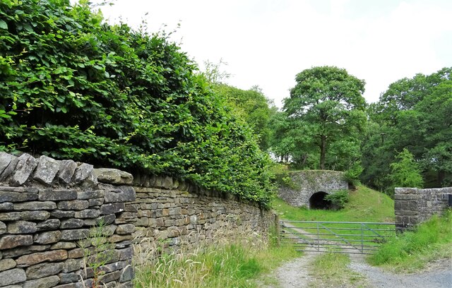
Historically, Beggars Bush Plantation has played a significant role in the region. It is believed to have been a hunting ground for the local nobility in the medieval period and later served as a source of timber for shipbuilding during the industrial era. Today, it is managed and protected by the Yorkshire Forestry Commission, ensuring the preservation of its natural beauty and wildlife.
The plantation offers a haven for outdoor enthusiasts and nature lovers alike. It features a network of well-maintained walking trails, allowing visitors to explore the woodland and discover its hidden wonders. The plantation is also home to a multitude of wildlife, including deer, foxes, squirrels, and a variety of bird species, making it a popular spot for birdwatching.
Overall, Beggars Bush Plantation in Yorkshire is a true gem of natural beauty, offering a tranquil escape into the heart of nature for those seeking peace and serenity.
If you have any feedback on the listing, please let us know in the comments section below.
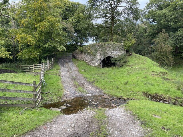
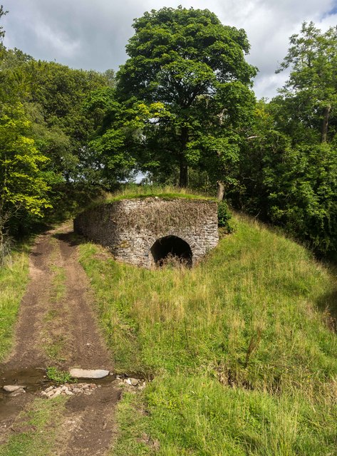
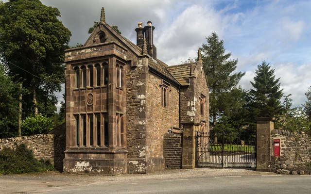
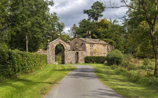
Beggars Bush Plantation Images
Images are sourced within 2km of 53.902553/-2.4907082 or Grid Reference SD6745. Thanks to Geograph Open Source API. All images are credited.


Beggars Bush Plantation is located at Grid Ref: SD6745 (Lat: 53.902553, Lng: -2.4907082)
Division: West Riding
Administrative County: Lancashire
District: Ribble Valley
Police Authority: Lancashire
What 3 Words
///irrigated.sugars.tiny. Near Waddington, Lancashire
Nearby Locations
Related Wikis

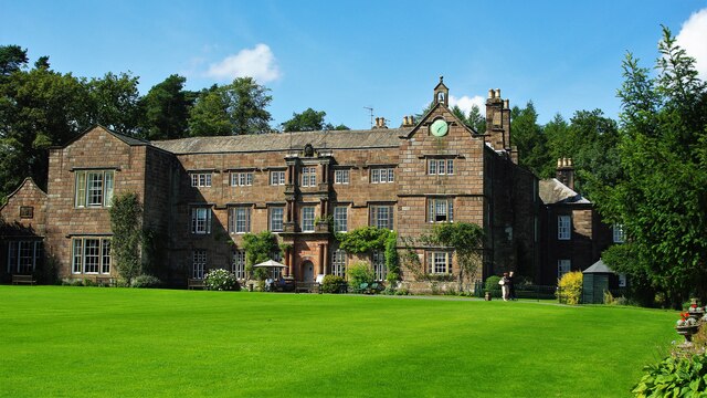
Browsholme Hall
Browsholme Hall is a privately owned Tudor house in the parish of Bowland Forest Low in the borough of Ribble Valley, Lancashire (although historically...

Cow Ark Farmhouse
Cow Ark Farmhouse is a historic building in the English parish of Bowland Forest Low, Lancashire. It is Grade II listed, built around 1780, and is a sandstone...

Bowland Forest Low
Bowland Forest Low is a civil parish in the Ribble Valley district of Lancashire, England, covering some 5,500 acres (22 km2) of the Forest of Bowland...

Bowland Rural District
Bowland was a rural district in the West Riding of Yorkshire from 1894 to 1974. It was named after the Forest of Bowland, which it included. It was formed...

Higher Lees Farmhouse
Higher Lees Farmhouse is an historic building in the English parish of Bowland Forest Low, Lancashire. It is Grade II listed, built around 1780, and is...

Whitewell
Whitewell is a village within the civil parish of Bowland Forest Low and Ribble Valley borough of Lancashire, England. It is in the Forest of Bowland Area...

Whitewell Hotel
Whitewell Hotel is an historic building in the English parish of Bowland Forest Low, Lancashire. It is Grade II listed, built in 1836, and is in sandstone...

Lower Lees Farmhouse
Lower Lees Farmhouse is a historic building in the English parish of Bowland Forest Low, Lancashire. It is Grade II listed, built in 1678, and is a sandstone...
Nearby Amenities
Located within 500m of 53.902553,-2.4907082Have you been to Beggars Bush Plantation?
Leave your review of Beggars Bush Plantation below (or comments, questions and feedback).