Ashbank Wood

Wood, Forest in Westmorland Eden

England

Ashbank Wood

Bridge over Murton Beck, Murton
Bridge over Murton Beck, Murton Credit: habiloid

Ashbank Wood is a picturesque woodland located in Westmorland, a historic county in the northwestern region of England. Situated amidst the stunning countryside landscape, this enchanting forest covers an area of approximately 100 acres.

The wood is predominantly composed of native broadleaf trees, including oak, beech, ash, and birch. The dense foliage creates a serene and tranquil atmosphere, attracting nature enthusiasts and hikers alike. The forest floor is adorned with a carpet of wildflowers, adding bursts of color to the green surroundings.

Ashbank Wood is home to a diverse range of wildlife, making it an ideal spot for birdwatching and animal spotting. Visitors can expect to encounter a variety of bird species, such as woodpeckers, owls, and thrushes. Squirrels can be seen scurrying through the treetops, while rabbits and deer occasionally make appearances in the clearing.

The woodland is crisscrossed with well-maintained footpaths, allowing visitors to explore its natural beauty at their leisure. The trails wind through the trees, offering glimpses of hidden ponds and small streams that meander through the wood. These water sources provide a habitat for aquatic creatures, including newts and frogs.

Ashbank Wood is a popular destination for outdoor activities, with designated picnic areas and benches scattered throughout the forest. Families often gather here for leisurely lunches and to enjoy the tranquility of the surroundings. Additionally, the wood is a favored location for nature education programs and guided walks, enabling visitors to learn more about the local flora and fauna.

In summary, Ashbank Wood in Westmorland is a haven of natural splendor, offering a peaceful retreat for those seeking to connect with nature. Its diverse range of plant and animal life, coupled with its well-maintained trails, make it a must-visit destination for both locals and tourists alike.

If you have any feedback on the listing, please let us know in the comments section below.
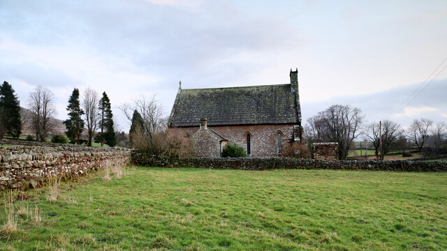
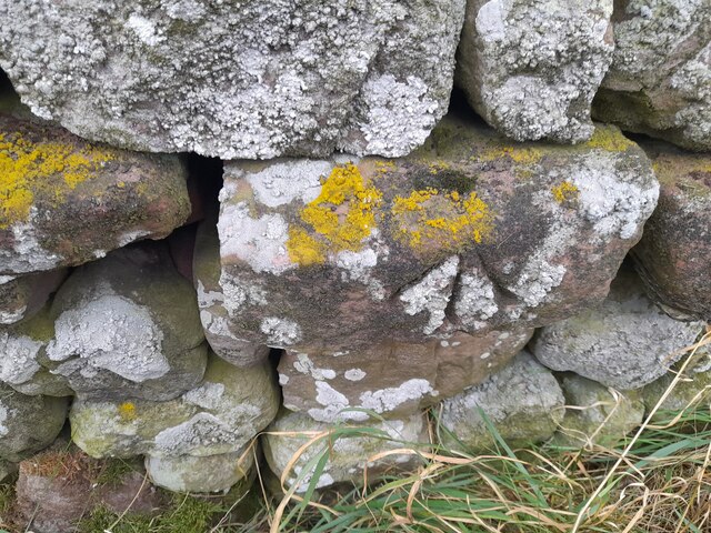
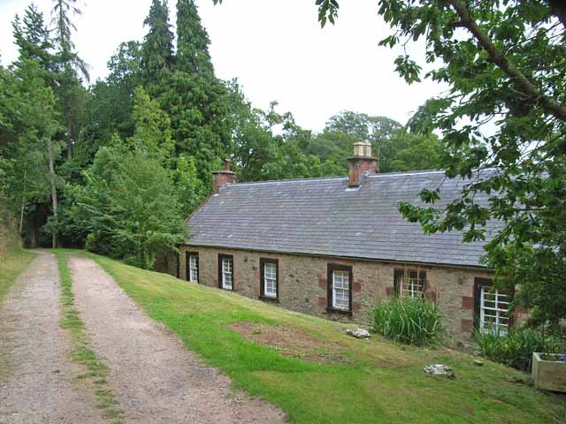
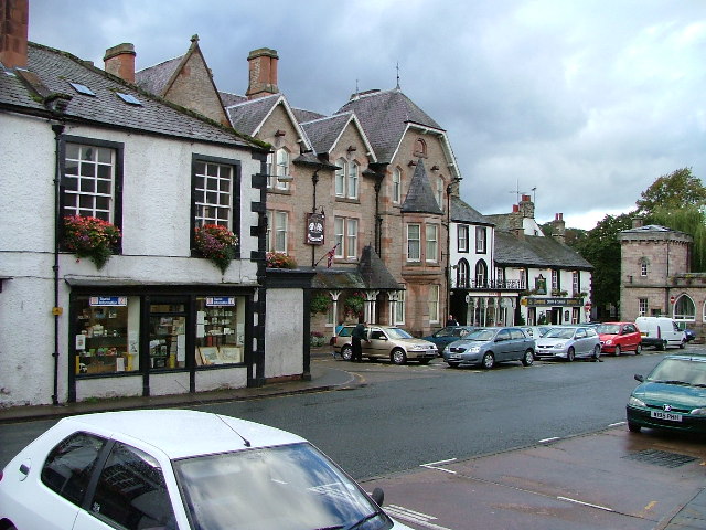
Ashbank Wood Images

Images are sourced within 2km of 54.579006/-2.4322499 or Grid Reference NY7220. Thanks to Geograph Open Source API. All images are credited.

Bridge over Murton Beck, Murton
Bridge over Hilton Beck The bridge carries Leagarth Lane, Hilton's main road, over Hilton Beck, and is seen from the public footpath on the south bank heading for Langton and Brackenber. Water levels are quite high, and for those keen to try out little-known river descents, is almost at a paddleable level - this would be a convenient put-on, with parking to the left of the background trees. There's at least one livestock fence to watch out for downstream (but has a big eddy and can probably be sneaked via a broken panel, as of early 2022).
Bridge over Hilton Beck
The bridge carries Leagarth Lane, Hilton's main road, over Hilton Beck, and is seen from the public footpath on the south bank heading for Langton and Brackenber. Water levels are quite high, and for those keen to try out little-known river descents, is almost at a paddleable level - this would be a convenient put-on, with parking to the left of the background trees. There's at least one livestock fence to watch out for downstream (but has a big eddy and can probably be sneaked via a broken panel, as of early 2022).
Hilton Beck from Thornless Hill The larger scales of map show the public footpath here as being at the bottom of the steep bank, but invasive gorse rather deterred one from trying anything down there. The top of the bank, however, remains largely in keeping with the name of the rising ground behind the photographer - Thornless Hill. It is not improved pasture like the enclosed fields towards the village of Hilton, but is mainly free of prickly walker-deterrent vegetation. The road is the one to Hilton from Appleby and likely the one that a SatNav would bring you to, since the road south of Hilton passes through Warcop training area and is confusingly missing from such navigation technology (presumably because sometimes it is closed to the public).
Hilton Beck from Thornless Hill
The larger scales of map show the public footpath here as being at the bottom of the steep bank, but invasive gorse rather deterred one from trying anything down there. The top of the bank, however, remains largely in keeping with the name of the rising ground behind the photographer - Thornless Hill. It is not improved pasture like the enclosed fields towards the village of Hilton, but is mainly free of prickly walker-deterrent vegetation. The road is the one to Hilton from Appleby and likely the one that a SatNav would bring you to, since the road south of Hilton passes through Warcop training area and is confusingly missing from such navigation technology (presumably because sometimes it is closed to the public).
Hilton Beck at Langton Hilton Beck runs along the northern and western edges of Brackenber Moor (Appleby Golf Course) and for the aficionado of obscure ditches who prefer their paddling not to be too scary, looks quite an attractive proposition. The level seen here is fairly high through snowmelt, but with some rain too it would perhaps be a little quicker from a put-in at Hilton to a take-out at Coupland. This view is from just upstream of the footbridge at Langton and shows what would, in lower water, be an easy ford. The beck seems relatively free of tree hazard for a lowland trip, but there is at least one livestock fence (just around a blind bend) to watch out for - there may be other hazards not seen on my walk (it was a dog walk, not a full river reconnaissance).
Hilton Beck at Langton
Hilton Beck runs along the northern and western edges of Brackenber Moor (Appleby Golf Course) and for the aficionado of obscure ditches who prefer their paddling not to be too scary, looks quite an attractive proposition. The level seen here is fairly high through snowmelt, but with some rain too it would perhaps be a little quicker from a put-in at Hilton to a take-out at Coupland. This view is from just upstream of the footbridge at Langton and shows what would, in lower water, be an easy ford. The beck seems relatively free of tree hazard for a lowland trip, but there is at least one livestock fence (just around a blind bend) to watch out for - there may be other hazards not seen on my walk (it was a dog walk, not a full river reconnaissance).
House nearly finished, Langton The fresh local sandstone construction looks quite colourful but will no doubt weather quite quickly to be a match for the other nearby properties. Open eaves on the nearest part of the building show that there is still work to do on the house, but the next main challenge will surely be the garden. It's a heavy clay soil left by the retreat of the Eden Valley glacier, but at least the site is not beset by the sort of rubble often seen on building sites. I wish them luck.
House nearly finished, Langton
The fresh local sandstone construction looks quite colourful but will no doubt weather quite quickly to be a match for the other nearby properties. Open eaves on the nearest part of the building show that there is still work to do on the house, but the next main challenge will surely be the garden. It's a heavy clay soil left by the retreat of the Eden Valley glacier, but at least the site is not beset by the sort of rubble often seen on building sites. I wish them luck.
Footpath south of Low Barn The footpath leaves the minor road to Flakebridge to follow the northern edge of a patch of woodland. The bits of plastic pipe (seemingly much loved by gamekeepers as markers for all sorts of things) bear numbers for shooting positions, presumably to annihilate pheasant being driven over the horizon from the fields to the north (right, in this view). Anything being driven out of the woods would be in your face before having time to fire a shot and a shorter-range weapon would seem more in order. Tennis rackets to return serve or a net on a long pole as used for Puffins in the Faeroes, perhaps ?
Footpath south of Low Barn
The footpath leaves the minor road to Flakebridge to follow the northern edge of a patch of woodland. The bits of plastic pipe (seemingly much loved by gamekeepers as markers for all sorts of things) bear numbers for shooting positions, presumably to annihilate pheasant being driven over the horizon from the fields to the north (right, in this view). Anything being driven out of the woods would be in your face before having time to fire a shot and a shorter-range weapon would seem more in order. Tennis rackets to return serve or a net on a long pole as used for Puffins in the Faeroes, perhaps ?
Copse south of Murton Beck This stand of trees (which we would have called a copse where I grew up, but they are not coppiced, so whether the term would apply here I'm less sure) occupies the corner of a field south of Murton Beck, the northern edge of which is followed by the public footpath from the Flakebridge road towards Murton, upon which the photographer and his trusty but dawdling hound are standing as the daylight fades (again).
Copse south of Murton Beck
This stand of trees (which we would have called a copse where I grew up, but they are not coppiced, so whether the term would apply here I'm less sure) occupies the corner of a field south of Murton Beck, the northern edge of which is followed by the public footpath from the Flakebridge road towards Murton, upon which the photographer and his trusty but dawdling hound are standing as the daylight fades (again).
Footbridge over Murton Beck The public footpath west from Murton splits here with one way remaining on the north bank of Murton Beck to turn northwards shortly, heading for Brackenthwaite, whilst the footbridge carries the other branch across the beck, to head west to Shepherd's Cottage and Flakebridge (and the end of a minor road to Appleby).
Footbridge over Murton Beck
The public footpath west from Murton splits here with one way remaining on the north bank of Murton Beck to turn northwards shortly, heading for Brackenthwaite, whilst the footbridge carries the other branch across the beck, to head west to Shepherd's Cottage and Flakebridge (and the end of a minor road to Appleby).
Murton and Hilton church Situated midway between Murton and its smaller satellite Hilton, the church is dedicated to St. John the Baptist. Its graveyard lies just across the minor road between the villages, and slightly nearer to Hilton, and lies among the tall conifers seen on the left of the view.
Murton and Hilton church
Situated midway between Murton and its smaller satellite Hilton, the church is dedicated to St. John the Baptist. Its graveyard lies just across the minor road between the villages, and slightly nearer to Hilton, and lies among the tall conifers seen on the left of the view.
Cumbrian Red Sandstone house, Murton
Ordnance Survey Cut Mark This OS cut mark can be found on the barn at Kirkber Farm. It marks a point 155.466m above mean sea level.
Ordnance Survey Cut Mark
This OS cut mark can be found on the barn at Kirkber Farm. It marks a point 155.466m above mean sea level.
Ordnance Survey Cut Mark This OS cut mark can be found on the barn at Langton Farm. It marks a point 159.602m above mean sea level.
Ordnance Survey Cut Mark
This OS cut mark can be found on the barn at Langton Farm. It marks a point 159.602m above mean sea level.
Ordnance Survey Pivot This OS pivot can be found on the wall SW side of the road. It marks a point 164.857m above mean sea level.
Ordnance Survey Pivot
This OS pivot can be found on the wall SW side of the road. It marks a point 164.857m above mean sea level.
Ordnance Survey Pivot This OS pivot can be found on the culvert NW side of the road. It marks a point 182.426m above mean sea level.
Ordnance Survey Pivot
This OS pivot can be found on the culvert NW side of the road. It marks a point 182.426m above mean sea level.
Ordnance Survey Cut Mark This OS cut mark can be found on the east angle of St John's Church. It marks a point 232.361m above mean sea level.
Ordnance Survey Cut Mark
This OS cut mark can be found on the east angle of St John's Church. It marks a point 232.361m above mean sea level.
Ordnance Survey Cut Mark This OS cut mark can be found on the toppled gatepost.
Ordnance Survey Cut Mark
This OS cut mark can be found on the toppled gatepost.
Ordnance Survey Cut Mark This OS cut mark can be found on the NE face of the bridge. It marks a point 241.191m above mean sea level.
Ordnance Survey Cut Mark
This OS cut mark can be found on the NE face of the bridge. It marks a point 241.191m above mean sea level.
Ordnance Survey Cut Mark This OS cut mark can be found on the wall NE side of the road. It marks a point 259.519m above mean sea level.
Ordnance Survey Cut Mark
This OS cut mark can be found on the wall NE side of the road. It marks a point 259.519m above mean sea level.
Show me another place!

Ashbank Wood is located at Grid Ref: NY7220 (Lat: 54.579006, Lng: -2.4322499)

Administrative County: Cumbria

District: Eden

Police Authority: Cumbria

What 3 Words

///cycles.mills.outdone. Near Appleby-in-Westmorland, Cumbria

Related Wikis

Hilton, Cumbria

Hilton is a village in Cumbria, England, in the civil parish of Murton, about 3 miles (4.8 km) east of Appleby-in-Westmorland and at an elevation of 752...

Murton, Cumbria

Murton is a small village and civil parish in the Eden District of Cumbria, England. The parish had a population of 330 in 2001, rising to 360 at the 2011...

Coupland, Cumbria

Coupland is a small village in Cumbria, England, in the civil parish of Warcop. It is situated a short distance to the south-east of Appleby-in-Westmorland...

Brackenber

Brackenber is a hamlet in the civil parish of Murton in Cumbria, England. It is near the town of Appleby-in-Westmorland and the village of Hilton, Cumbria...

Flakebridge

Flakebridge is a woodland and small hamlet in the Eden District, Cumbria, England, 3 kilometres (1.9 mi) south-west from the village of Dufton and 1.95...

Keisley

Keisley is a small hamlet in the English county of Cumbria. It is located in the Dufton civil parish and the Eden district. == Location and geography... ==

Appleby East railway station

Appleby East railway station is a closed railway station that was situated on the Eden Valley Railway between Kirkby Stephen East and Penrith in Cumberland...

Appleby-in-Westmorland

Appleby-in-Westmorland is a market town and civil parish in Westmorland and Furness, Cumbria, England, with a population of 3,048 at the 2011 Census. Crossed...

Nearby Amenities

Located within 500m of 54.579006,-2.4322499
Power: pole
Lat/Long: 54.5807673/-2.4382852
Power: pole
Lat/Long: 54.5812211/-2.4370019
Power: pole
Lat/Long: 54.5817024/-2.4355822
Power: pole
Lat/Long: 54.5822421/-2.4340418
Power: pole
Lat/Long: 54.582783/-2.4324738
Power: pole
Lat/Long: 54.5833113/-2.4309631
The data included in this document is from www.openstreetmap.org. The data is made available under ODbL.

Have you been to Ashbank Wood?

Leave your review of Ashbank Wood below (or comments, questions and feedback).