Holling's Hill Coppice
Wood, Forest in Worcestershire
England
Holling's Hill Coppice
Holling's Hill Coppice is a picturesque woodland located in Worcestershire, England. Covering an area of approximately 50 acres, it is a charming and diverse forest that offers a tranquil escape from the hustle and bustle of city life.
The coppice is primarily composed of deciduous trees, including oak, ash, beech, and birch, creating a rich and varied ecosystem. The dense canopy provides shade and shelter for a wide range of wildlife, making it a haven for birdwatchers and nature enthusiasts.
Visitors to Holling's Hill Coppice can enjoy a network of well-maintained footpaths that wind their way through the wood, allowing for leisurely strolls and opportunities to explore the natural beauty of the area. The paths are suitable for all abilities and provide access to hidden clearings and small ponds, adding to the charm and diversity of the woodland.
Throughout the seasons, the coppice offers different sights and experiences. In spring, the forest floor is carpeted with a vibrant display of bluebells and wildflowers, creating a stunning visual spectacle. During autumn, the trees transform into a riot of reds, oranges, and yellows, providing a breathtaking backdrop for leisurely walks.
Holling's Hill Coppice is managed by a dedicated team of conservationists who ensure the preservation of its natural beauty. They work to maintain a healthy balance between conservation and public access, ensuring that visitors can enjoy the forest while respecting its delicate ecosystem.
Whether you are a nature lover, a keen walker, or simply seeking a peaceful retreat, Holling's Hill Coppice offers a delightful escape into a world of natural beauty.
If you have any feedback on the listing, please let us know in the comments section below.
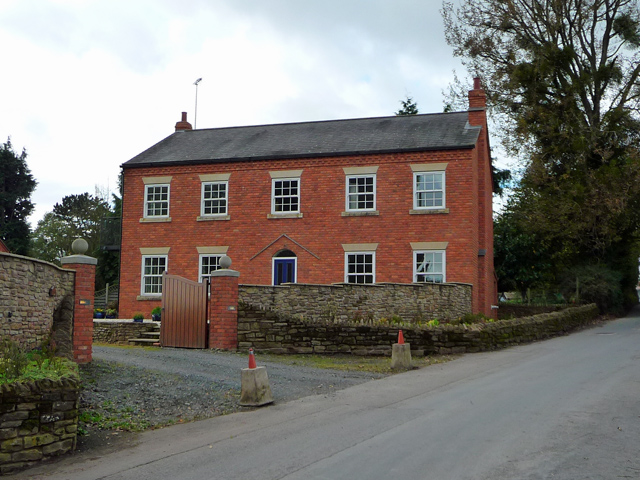
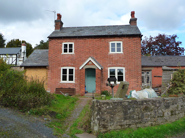
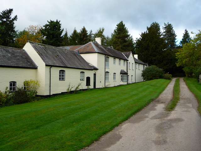
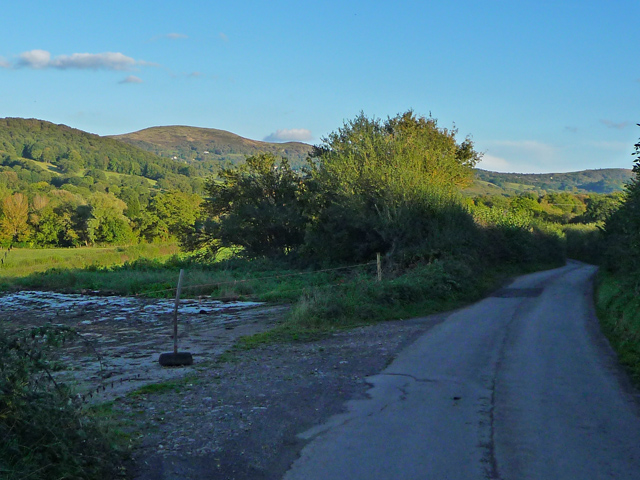
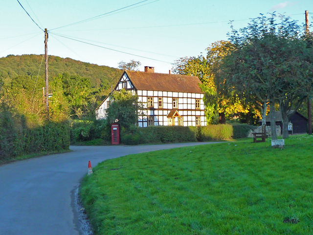
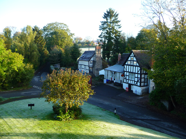
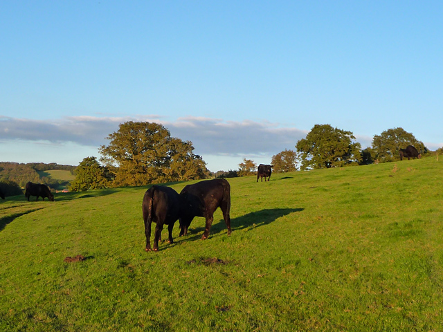
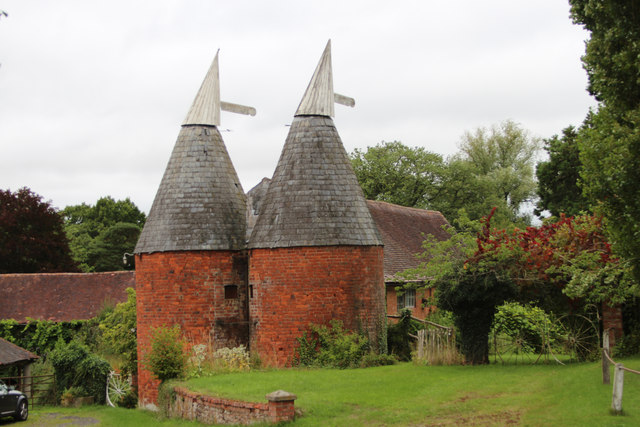
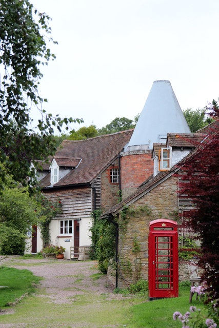
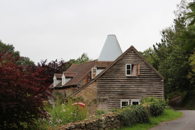
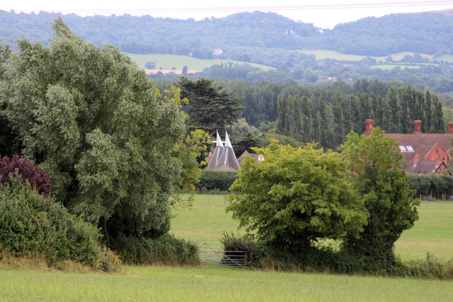
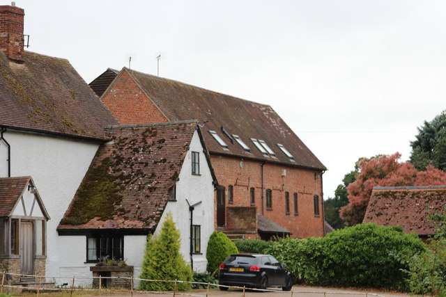
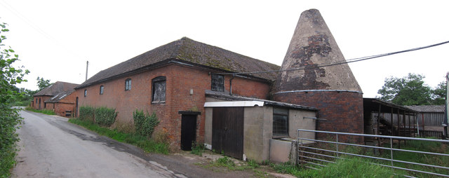
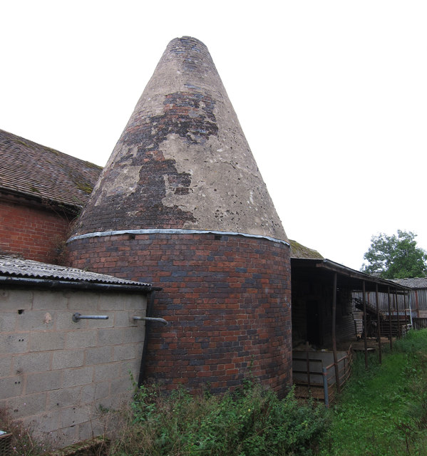
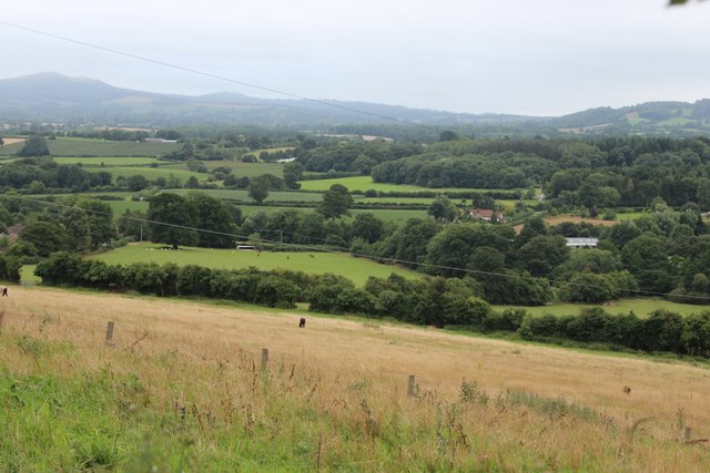
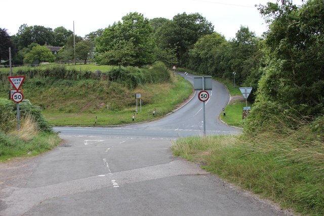
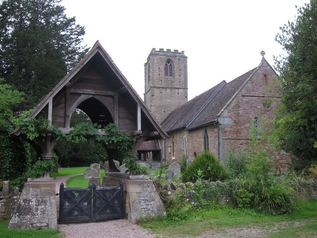
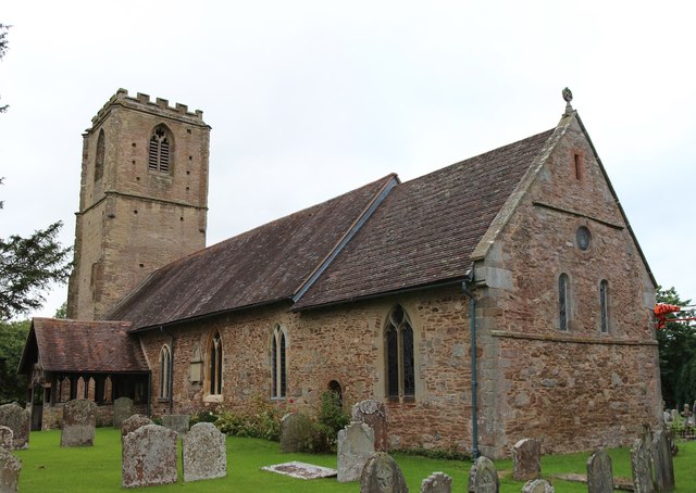
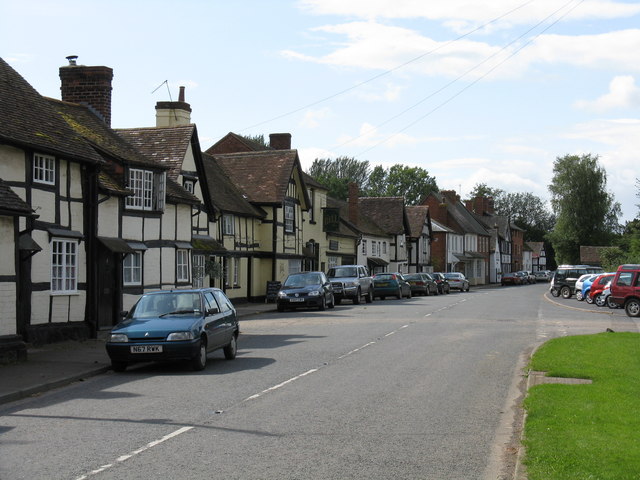
Holling's Hill Coppice Images
Images are sourced within 2km of 52.112571/-2.4079854 or Grid Reference SO7246. Thanks to Geograph Open Source API. All images are credited.
Holling's Hill Coppice is located at Grid Ref: SO7246 (Lat: 52.112571, Lng: -2.4079854)
Unitary Authority: County of Herefordshire
Police Authority: West Mercia
What 3 Words
///winner.tram.guides. Near Evesbatch, Herefordshire
Nearby Locations
Related Wikis

Mathon, Herefordshire
Mathon is a small village and civil parish in eastern Herefordshire, England, lying just to the west of the Malvern Hills between Malvern and Ledbury....

Cradley, Herefordshire
Cradley () is a village in the civil parish of Cradley and Storridge, in Herefordshire, England. The nearest Herefordshire to Cradley towns are Ledbury...

A4103 road
The A4103 is an A-road which runs from Worcester to the A480 in Stretton Sugwas, a village 2 miles (3.2 km) west of Hereford. The road is a primary route...

Coddington, Herefordshire
Coddington is a hamlet and civil parish in eastern Herefordshire, England, about 3 miles (4.8 km) north of Ledbury. The west side of the parish covers...
Bosbury
Bosbury is a village and civil parish in Herefordshire, England, approximately 3.5 miles (5.6 km) north of Ledbury. The small River Leadon flows through...

Fromes Hill
Fromes Hill is a hamlet in the civil parish of Bishop's Frome, in Herefordshire, England, and is about 15 miles (24 km) east from the city and county town...

Evesbatch
Evesbatch is a village and civil parish 12 miles (19 km) north east of Hereford, in the county of Herefordshire, England. In 2001 the parish had a population...
Regents Theological College
Regents Theological College is a theological college in Malvern, Worcestershire, England. It is the training centre of the Elim Pentecostal Church. First...
Nearby Amenities
Located within 500m of 52.112571,-2.4079854Have you been to Holling's Hill Coppice?
Leave your review of Holling's Hill Coppice below (or comments, questions and feedback).