Berrington Wood

Wood, Forest in Herefordshire

England

Berrington Wood

Footpath by Frith Barn
Footpath by Frith Barn Credit: Oast House Archive

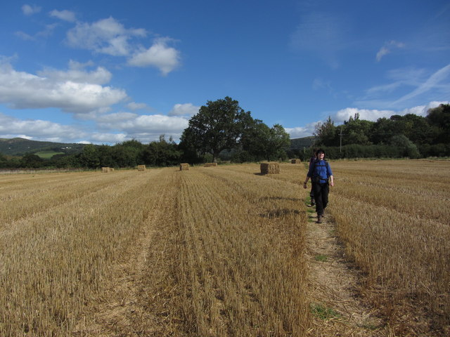
Berrington Wood is a picturesque woodland located in the county of Herefordshire, England. Covering an area of approximately 224 hectares, the wood is situated on the eastern side of the county, near the village of Eye. It is known for its rich biodiversity and stunning natural beauty.

The woodland is predominantly composed of oak trees, with some areas also featuring beech, ash, and birch trees. These majestic trees create a dense canopy overhead, providing shade and shelter for a wide variety of flora and fauna. The forest floor is adorned with a carpet of bluebells during springtime, enhancing the wood's enchanting ambiance.

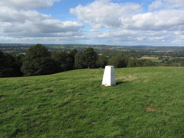
Berrington Wood is managed by the Forestry Commission, who ensure its conservation and protection. The wood is open to the public, offering visitors an opportunity to explore its many trails and enjoy its tranquil surroundings. Nature enthusiasts can undertake leisurely walks or more adventurous hikes, immersing themselves in the sights and sounds of the woodland.

The wood is also home to a diverse range of wildlife, including deer, badgers, foxes, and a multitude of bird species. Birdwatchers can spot woodpeckers, owls, and various songbirds within the wood's extensive network of trees.

Overall, Berrington Wood is a haven for nature lovers and outdoor enthusiasts alike. Its picturesque landscapes, diverse flora and fauna, and serene atmosphere make it a delightful destination for anyone seeking solace in nature.

If you have any feedback on the listing, please let us know in the comments section below.

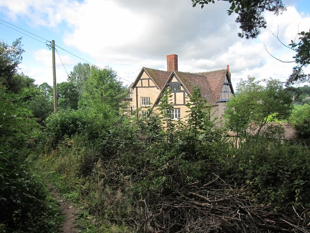
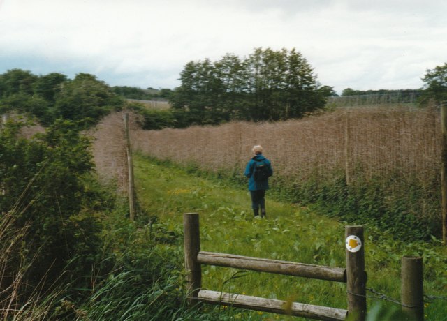
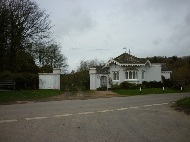
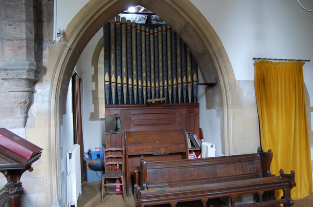
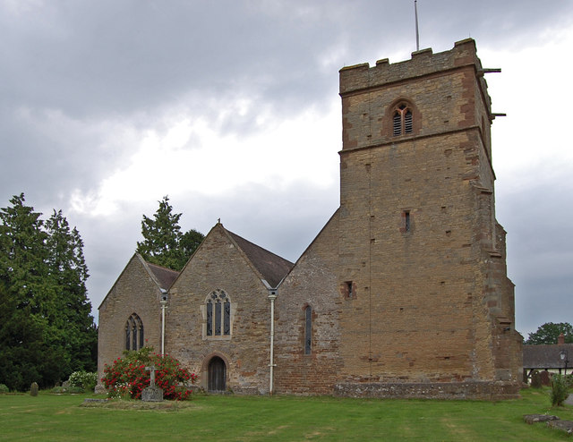
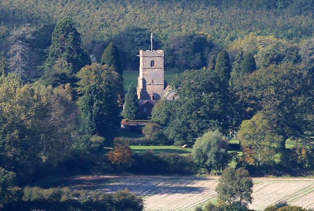
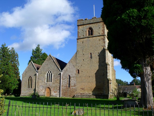
Berrington Wood Images

Images are sourced within 2km of 52.072589/-2.4080875 or Grid Reference SO7241. Thanks to Geograph Open Source API. All images are credited.

Footpath by Frith Barn
Footpath through Coddington Vineyard in 1999
Public footpath through hopyard near Coddington
A rail bridge near Cummin's Farm
Lower Lodge
Lower Lodge
Organ, All Saints' church, Coddington By John Nicholson of Worcester, single manual and pedal with 8 stops.
Organ, All Saints' church, Coddington
By John Nicholson of Worcester, single manual and pedal with 8 stops.
St James' Church, Colwall Grade II* listed.
Originally 12th Century, with 5 bay nave and south aisle of 13th C., south west tower of late 14th early 15th C. north arcade from 1880. Font is possibly 13th C, but re-cut. 
See also <a href="https://www.geograph.org.uk/photo/1920097">SO7342 : St James Church, Colwall</a>
St James' Church, Colwall
Grade II* listed. Originally 12th Century, with 5 bay nave and south aisle of 13th C., south west tower of late 14th early 15th C. north arcade from 1880. Font is possibly 13th C, but re-cut. See also SO7342 : St James Church, Colwall
Colwall Church Viewed from the side of Pinnacle Hill.
Colwall Church
Viewed from the side of Pinnacle Hill.
Direction sign and gate, Old Colwall
The Lodge, Old Colwall
St James', Colwall
St James', Colwall
Walking across harvested field north of Colwall, Herefordshire
Trig point on Oyster Hill, SE of Coddington Ironically, the trig point is not located at the highest point. There is a convenient seat nearby for you to rest and admire the view.
Trig point on Oyster Hill, SE of Coddington
Ironically, the trig point is not located at the highest point. There is a convenient seat nearby for you to rest and admire the view.
Walking on footpath south of Oyster Hill alongside Berrington Wood
Hope End House & footpath above Wellington Heath, Herefordshire
View over Wellington Heath View over Wellington Heath with the viaduct carrying the railway west from Ledbury towards Hereford visible in the distance.
View over Wellington Heath
View over Wellington Heath with the viaduct carrying the railway west from Ledbury towards Hereford visible in the distance.
View to Coddington and the Malvern Hills View across an arable field towards Coddington and its church with the Malvern Hills in the background.
View to Coddington and the Malvern Hills
View across an arable field towards Coddington and its church with the Malvern Hills in the background.
Harvested maize field Harvested maize field near Coddington.
Harvested maize field
Harvested maize field near Coddington.
Show me another place!

Berrington Wood is located at Grid Ref: SO7241 (Lat: 52.072589, Lng: -2.4080875)

Unitary Authority: County of Herefordshire

Police Authority: West Mercia

What 3 Words

///drank.tasteful.found. Near Ledbury, Herefordshire

Related Wikis

Hope End

Hope End is an area and former estate of Herefordshire, England, near the Malvern Hills, noted for its literary associations. As described by a 19th-century...

Coddington, Herefordshire

Coddington is a hamlet and civil parish in eastern Herefordshire, England, about 3 miles (4.8 km) north of Ledbury. The west side of the parish covers...

Wellington Heath

Wellington Heath is a small village and civil parish in Herefordshire, England, approximately 1.5 miles (2.4 km) north of Ledbury. The population was recorded...

Stowe Lane

Stowe Lane is a cricket ground in Colwall, Herefordshire. The first recorded county match on the ground was in 1974, when the Worcestershire Second XI...

The Elms School, Colwall

The Elms School is a co-educational private boarding prep school located in Colwall, Herefordshire, England. Including the Early Years and Pre-Prep departments...

Bosbury

Bosbury is a village and civil parish in Herefordshire, England, approximately 3.5 miles (5.6 km) north of Ledbury. The small River Leadon flows through...

Ledbury Tunnel

Ledbury Tunnel is a single-track railway tunnel immediately to the east of Ledbury railway station on the Cotswold Line, in Herefordshire, England. The...

Herefordshire and Gloucestershire Canal

The Herefordshire and Gloucestershire Canal (sometimes known as the Hereford and Gloucester Canal) is a canal in the west of England, which ran from Hereford...

Nearby Amenities

Located within 500m of 52.072589,-2.4080875
Oyster Hill
Ele: 211
Natural: peak
Source: NPE
Lat/Long: 52.0741076/-2.4044763
Oyster Hill
Man Made: survey_point
Ref: S7271
Tpuk Ref: TP5273
Lat/Long: 52.0740788/-2.4045143
Bench
Lat/Long: 52.0736126/-2.4048844
Barrier: stile
Foot: yes
Lat/Long: 52.0746858/-2.4029032
Building: yes
Lat/Long: 52.0701233/-2.4065931
Building: yes
Lat/Long: 52.0684086/-2.4060567
Location Transition: yes
Power: pole
Lat/Long: 52.0734856/-2.4123533
Power: pole
Lat/Long: 52.0742077/-2.4124981
Power: pole
Lat/Long: 52.075046/-2.4128314
Combe Hill
Power: pole
Transformer: distribution
Voltage Primary: 11000
Lat/Long: 52.0761324/-2.4049129
Raycomb Lane
Power: pole
Transformer: distribution
Voltage Primary: 11000
Lat/Long: 52.0707489/-2.4118397
Hope End House
Power: pole
Transformer: distribution
Voltage Primary: 11000
Lat/Long: 52.0690675/-2.406785
The data included in this document is from www.openstreetmap.org. The data is made available under ODbL.

Have you been to Berrington Wood?

Leave your review of Berrington Wood below (or comments, questions and feedback).