Dumbleton Wood
Wood, Forest in Herefordshire
England
Dumbleton Wood
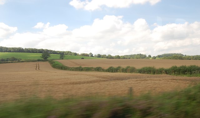
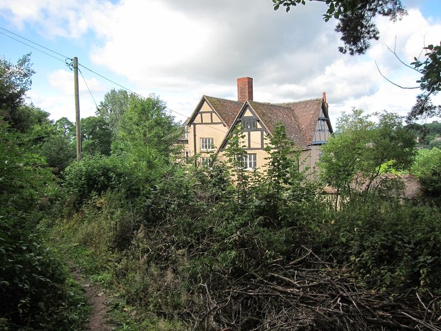
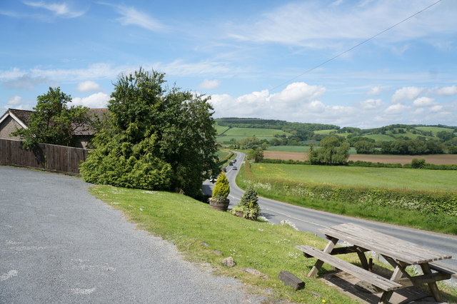
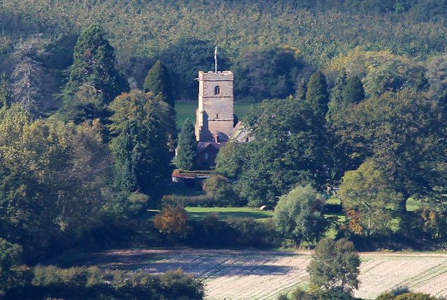
Dumbleton Wood is an enchanting woodland located in the county of Herefordshire, England. Stretching over an area of approximately 100 hectares, this ancient forest is a true haven for nature enthusiasts and outdoor lovers alike.
The wood boasts a diverse range of tree species, including oak, ash, beech, and birch, creating a rich tapestry of colors throughout the seasons. The dense canopy above casts dappled sunlight on the forest floor, where an abundance of wildflowers, ferns, and mosses thrive. The undergrowth provides a sanctuary for a myriad of woodland creatures, from elusive red squirrels and badgers to a variety of bird species.
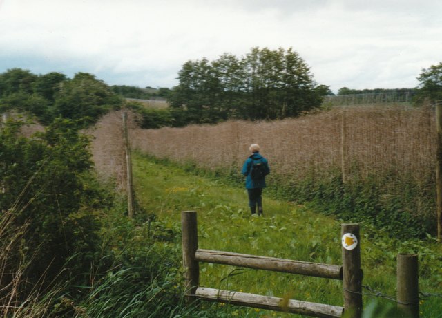
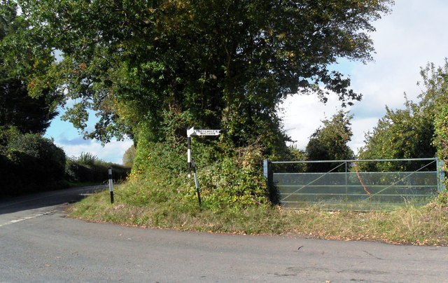
Traversing through Dumbleton Wood is a delight for hikers and walkers, with a network of well-maintained trails meandering through the forest. These paths provide visitors with the opportunity to explore the wood's hidden treasures, including a picturesque stream that gurgles gently as it winds its way through the trees.
The wood is also home to a diverse range of wildlife, making it a popular spot for nature enthusiasts and photographers. Patient visitors may catch glimpses of deer gracefully bounding through the underbrush or spot a shy fox darting between the trees.
Dumbleton Wood offers a peaceful retreat from the hustle and bustle of everyday life, inviting visitors to immerse themselves in the serenity of nature. With its breathtaking beauty and rich biodiversity, it is no wonder that this tranquil woodland has become a beloved gem in Herefordshire's natural landscape.
If you have any feedback on the listing, please let us know in the comments section below.
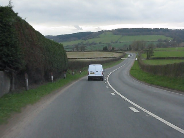
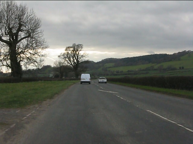
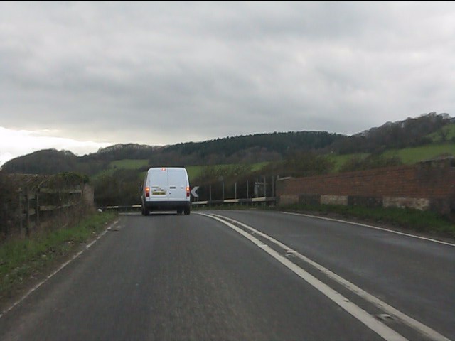
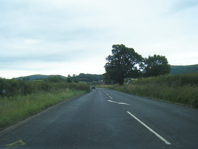
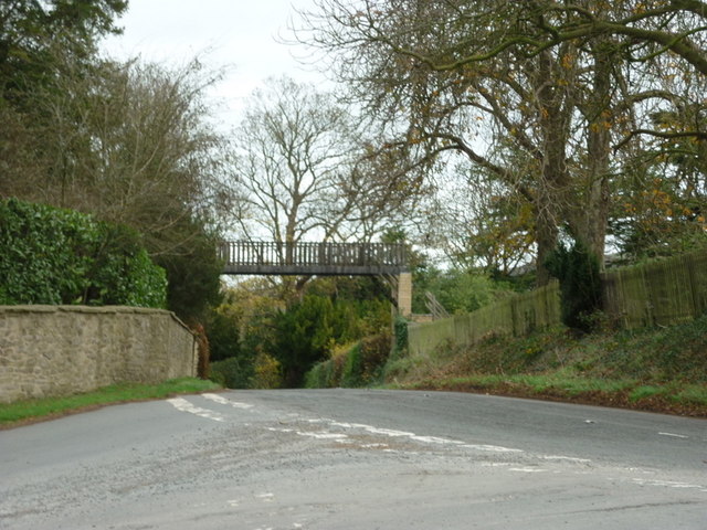
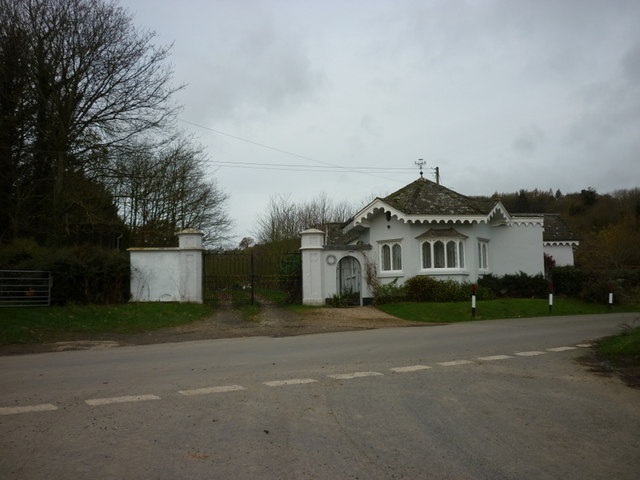
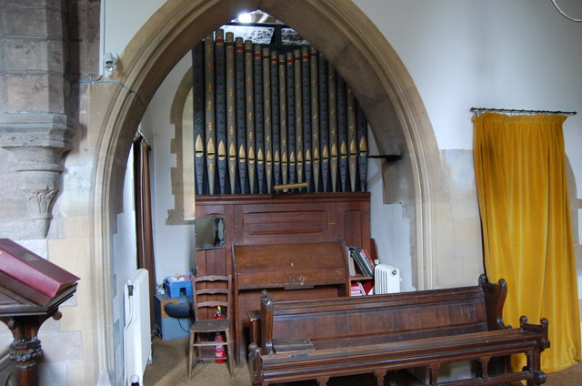
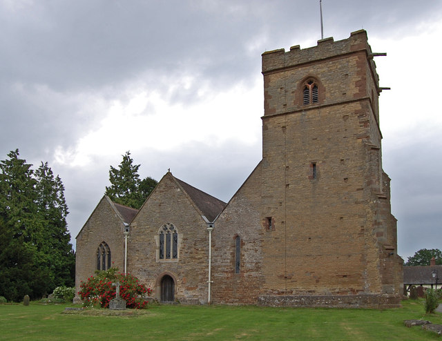
Dumbleton Wood Images
Images are sourced within 2km of 52.068957/-2.400089 or Grid Reference SO7241. Thanks to Geograph Open Source API. All images are credited.


Dumbleton Wood is located at Grid Ref: SO7241 (Lat: 52.068957, Lng: -2.400089)
Unitary Authority: County of Herefordshire
Police Authority: West Mercia
What 3 Words
///swerves.dish.backyards. Near Ledbury, Herefordshire
Nearby Locations
Related Wikis

Hope End
Hope End is an area and former estate of Herefordshire, England, near the Malvern Hills, noted for its literary associations. As described by a 19th-century...

Coddington, Herefordshire
Coddington is a hamlet and civil parish in eastern Herefordshire, England, about 3 miles (4.8 km) north of Ledbury. The west side of the parish covers...

Wellington Heath
Wellington Heath is a small village and civil parish in Herefordshire, England, approximately 1.5 miles (2.4 km) north of Ledbury. The population was recorded...
Stowe Lane
Stowe Lane is a cricket ground in Colwall, Herefordshire. The first recorded county match on the ground was in 1974, when the Worcestershire Second XI...

The Elms School, Colwall
The Elms School is a co-educational private boarding prep school located in Colwall, Herefordshire, England. Including the Early Years and Pre-Prep departments...

Colwall Park Racecourse
Colwall Park Racecourse was a British horse racing venue which operated from 1900 to 1939. It was known as one of England’s prettiest racecourses.The course...

Ledbury Tunnel
Ledbury Tunnel is a single-track railway tunnel immediately to the east of Ledbury railway station on the Cotswold Line, in Herefordshire, England. The...

Ledbury Signal Box
Ledbury Signal Box is a typical Great Western Railway traditional lever frame signal box which remains in daily use at Ledbury Station, Herefordshire,...
Nearby Amenities
Located within 500m of 52.068957,-2.400089Have you been to Dumbleton Wood?
Leave your review of Dumbleton Wood below (or comments, questions and feedback).