Lantern Grove
Wood, Forest in Herefordshire
England
Lantern Grove
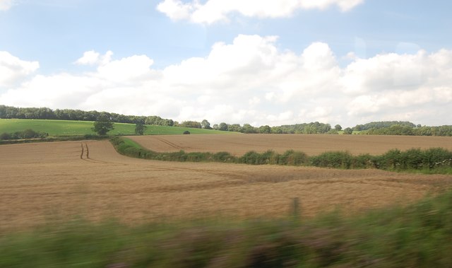
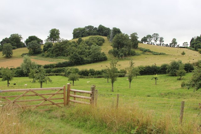
Lantern Grove is a picturesque woodland located in the county of Herefordshire, England. Situated in the heart of the region, the grove spans an area of approximately 100 acres, offering visitors a tranquil escape into nature. The grove is predominantly composed of ancient oak trees, which have stood tall for centuries, creating a majestic canopy that filters sunlight and creates a dappled effect on the forest floor.
The woodland is home to a diverse array of flora and fauna, providing a haven for numerous species of plants and animals. Bluebells, wild garlic, and ferns flourish throughout the grove, painting the forest floor with vibrant colors during the spring and summer months. The air is filled with the sweet scent of moss and damp earth, creating an immersive sensory experience for visitors.
Lantern Grove is a popular destination for nature enthusiasts and hikers alike, offering a network of well-marked trails that wind through the woods. These trails vary in difficulty, catering to both casual walkers and experienced hikers. Along the way, visitors may encounter wildlife such as deer, foxes, and a variety of bird species, creating opportunities for wildlife-spotting and birdwatching.
For those seeking a moment of tranquility, there are several designated picnic areas scattered throughout the grove, where visitors can sit back and appreciate the peacefulness of their surroundings. Lantern Grove truly offers a serene and enchanting retreat for individuals looking to connect with nature and escape the hustle and bustle of everyday life.
If you have any feedback on the listing, please let us know in the comments section below.
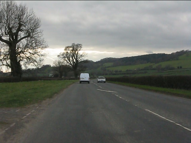
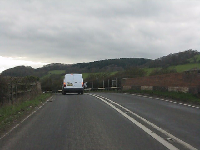
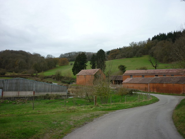
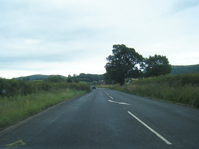
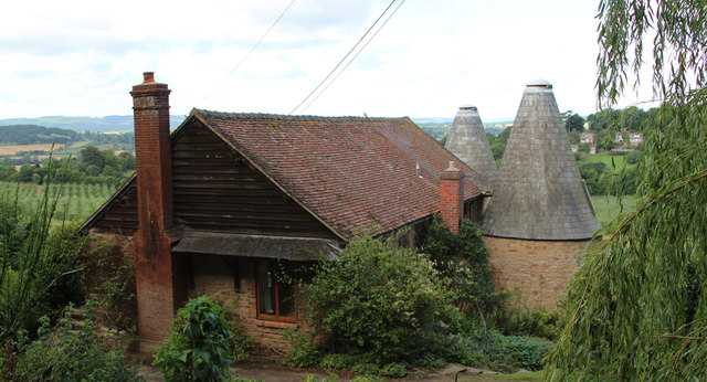
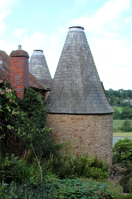
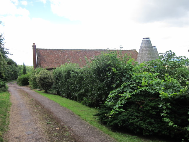
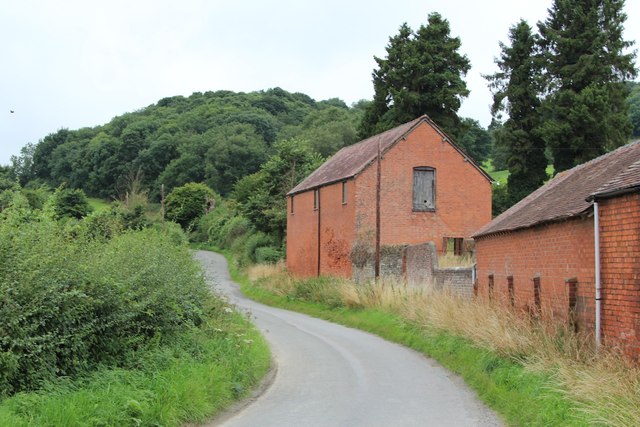
Lantern Grove Images
Images are sourced within 2km of 52.067512/-2.4072243 or Grid Reference SO7241. Thanks to Geograph Open Source API. All images are credited.


Lantern Grove is located at Grid Ref: SO7241 (Lat: 52.067512, Lng: -2.4072243)
Unitary Authority: County of Herefordshire
Police Authority: West Mercia
What 3 Words
///advantage.coast.replace. Near Ledbury, Herefordshire
Related Wikis

Hope End
Hope End is an area and former estate of Herefordshire, England, near the Malvern Hills, noted for its literary associations. As described by a 19th-century...

Wellington Heath
Wellington Heath is a small village and civil parish in Herefordshire, England, approximately 1.5 miles (2.4 km) north of Ledbury. The population was recorded...

Coddington, Herefordshire
Coddington is a hamlet and civil parish in eastern Herefordshire, England, about 3 miles (4.8 km) north of Ledbury. The west side of the parish covers...

Ledbury Tunnel
Ledbury Tunnel is a single-track railway tunnel immediately to the east of Ledbury railway station on the Cotswold Line, in Herefordshire, England. The...

Ledbury Signal Box
Ledbury Signal Box is a typical Great Western Railway traditional lever frame signal box which remains in daily use at Ledbury Station, Herefordshire,...
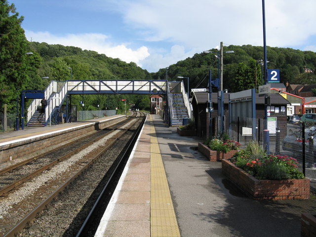
Ledbury railway station
Ledbury railway station is located on the outskirts of the town of Ledbury, on the Worcester to Hereford line in the English Midlands. It has regular services...

Herefordshire and Gloucestershire Canal
The Herefordshire and Gloucestershire Canal (sometimes known as the Hereford and Gloucester Canal) is a canal in the west of England, which ran from Hereford...
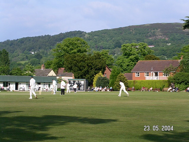
Stowe Lane
Stowe Lane is a cricket ground in Colwall, Herefordshire. The first recorded county match on the ground was in 1974, when the Worcestershire Second XI...
Related Videos

Giant's Cave and a wander around the Malvern Hills
In this vlog I simply wanted to go and take a look at the Giant's Cave in the Malvern Hills as it is a part of the Malvern Hills I have ...

StationCottageColwall.co.uk
Stunning hostel, easy walking distance to Malvern Hills.

Warren Oak Camp - November 2016
The Scouts returned to Warren Oak for a weekend camp. They tested their map and compass skills on a hike around the local ...

Nearby Amenities
Located within 500m of 52.067512,-2.4072243Have you been to Lantern Grove?
Leave your review of Lantern Grove below (or comments, questions and feedback).