Firland Wood

Wood, Forest in Dorset

England

Firland Wood

Cross dyke on Higher Hill Cross dykes apparently formed prehistoric land boundaries. There are quite a few on this ridgeway in this beautiful part of Dorset.
Cross dyke on Higher Hill Credit: Becky Williamson

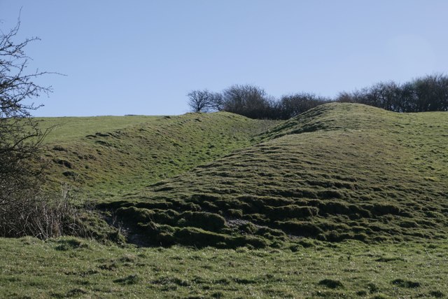
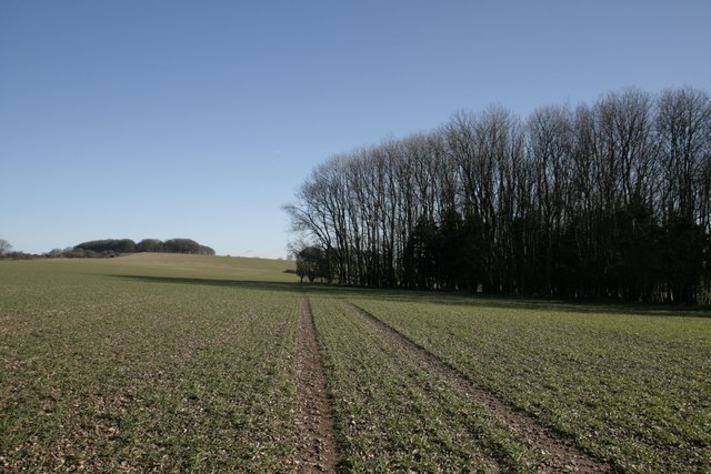
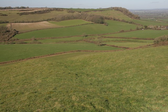
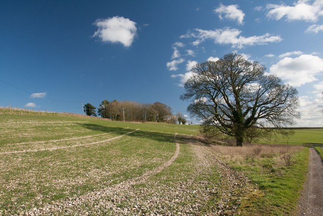
Firland Wood is a picturesque forest located in the county of Dorset, England. Nestled in the heart of the countryside, this woodland is renowned for its natural beauty and tranquility, attracting visitors from far and wide.

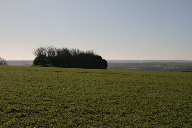
Covering an area of approximately 100 acres, Firland Wood is predominantly composed of mature fir trees, which lend the forest its name. These towering evergreens create a dense canopy that provides shade and shelter to the diverse range of flora and fauna that call this woodland home. The forest floor is carpeted with a vibrant tapestry of wildflowers, including bluebells, primroses, and wood anemones, adding a burst of color to the landscape during the spring months.

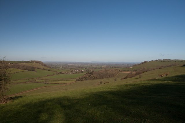
The forest is crisscrossed by a network of well-maintained footpaths and trails, allowing visitors to explore its hidden nooks and crannies at their own pace. These paths wind their way through the dense undergrowth, occasionally opening up to reveal breathtaking vistas of the surrounding countryside. Along the way, hikers may encounter various wildlife species, such as deer, foxes, and a wide variety of birdlife, making Firland Wood a popular destination for nature enthusiasts and birdwatchers alike.

Firland Wood also boasts several picnic areas and benches, providing the perfect spot for visitors to relax and enjoy a picnic amidst the peaceful ambiance of the forest. Additionally, the woodland is equipped with information boards, offering educational insights into the local flora and fauna, making it an ideal destination for families and school groups.

Overall, Firland Wood in Dorset is a haven for nature lovers, offering a serene escape from the hustle and bustle of modern life. Its stunning natural beauty and abundant wildlife make it a must-visit destination for those seeking a tranquil woodland retreat.

If you have any feedback on the listing, please let us know in the comments section below.

Firland Wood Images

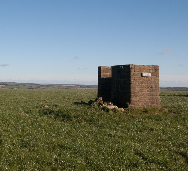
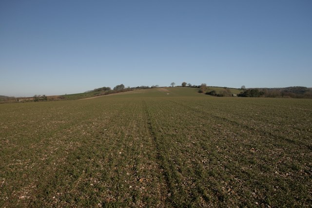
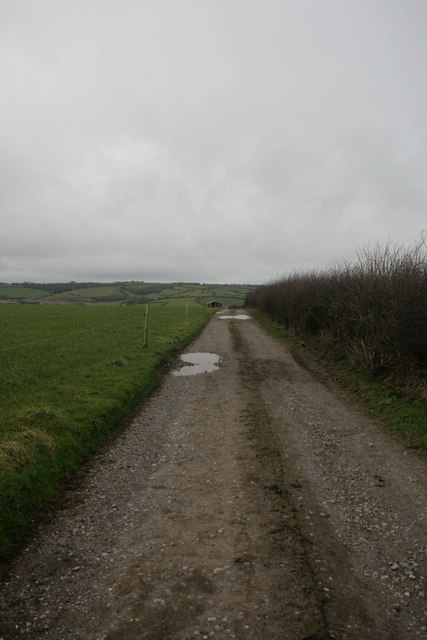
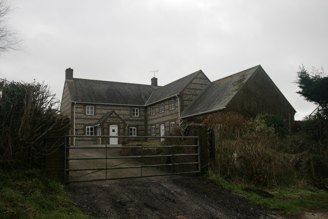
Images are sourced within 2km of 50.81764/-2.3979113 or Grid Reference ST7202. Thanks to Geograph Open Source API. All images are credited.

Cross dyke on Higher Hill Cross dykes apparently formed prehistoric land boundaries. There are quite a few on this ridgeway in this beautiful part of Dorset.
Cross dyke on Higher Hill
Cross dykes apparently formed prehistoric land boundaries. There are quite a few on this ridgeway in this beautiful part of Dorset.
Benchmark, St John the Baptist Church, Plush Ordnance Survey benchmark, described on database at <span class="nowrap"><a title="http://www.bench-marks.org.uk/bm73594" rel="nofollow ugc noopener" href="http://www.bench-marks.org.uk/bm73594">Link</a><img style="margin-left:2px;" alt="External link" title="External link - shift click to open in new window" src="https://s1.geograph.org.uk/img/external.png" width="10" height="10"/></span>. See also <a href="https://www.geograph.org.uk/photo/4833952">ST7102 : St John the Baptist Church, Plush</a>.
Benchmark, St John the Baptist Church, Plush
Ordnance Survey benchmark, described on database at LinkExternal link. See also ST7102 : St John the Baptist Church, Plush.
St John the Baptist Church, Plush I'm not sure if this building is still used as a place of worship, but it can also be used as a concert hall and venue for weddings etc.
St John the Baptist Church, Plush
I'm not sure if this building is still used as a place of worship, but it can also be used as a concert hall and venue for weddings etc.
Triangle of trees on Plush Hill The footpath wends its way through this arable field, past a water tank and on to the trig point at Higher Hill.
Triangle of trees on Plush Hill
The footpath wends its way through this arable field, past a water tank and on to the trig point at Higher Hill.
Benchmark on Old Schoolhouse, Plush Ordnance Survey benchmark, described on database at <span class="nowrap"><a title="http://www.bench-marks.org.uk/bm73593" rel="nofollow ugc noopener" href="http://www.bench-marks.org.uk/bm73593">Link</a><img style="margin-left:2px;" alt="External link" title="External link - shift click to open in new window" src="https://s1.geograph.org.uk/img/external.png" width="10" height="10"/></span>. See also <a href="https://www.geograph.org.uk/photo/4834177">ST7102 : Former Schoolhouse, Plush</a>.
Benchmark on Old Schoolhouse, Plush
Ordnance Survey benchmark, described on database at LinkExternal link. See also ST7102 : Former Schoolhouse, Plush.
Former Schoolhouse, Plush There is an Ordnance Survey benchmark on this cottage. See <a href="https://www.geograph.org.uk/photo/4834176">ST7102 : Benchmark on Old Schoolhouse, Plush</a>.
Former Schoolhouse, Plush
There is an Ordnance Survey benchmark on this cottage. See ST7102 : Benchmark on Old Schoolhouse, Plush.
Cross dyke on Higher Hill Another prehistoric land boundary on this beautiful ridge.
Cross dyke on Higher Hill
Another prehistoric land boundary on this beautiful ridge.
Funny building at footpath crossroads on Nettlecombe Tout This building appears to have no other purpose than being a place to put footpath signs, but maybe I'm missing something.
Funny building at footpath crossroads on Nettlecombe Tout
This building appears to have no other purpose than being a place to put footpath signs, but maybe I'm missing something.
Near summit of East Hill, Piddletrenthide Not that you'd really know you were on a hill. It's all arable crops!
Near summit of East Hill, Piddletrenthide
Not that you'd really know you were on a hill. It's all arable crops!
Church Hill - Wessex Ridgeway Looking west along bridleway towards Alton Pancras.
Church Hill - Wessex Ridgeway
Looking west along bridleway towards Alton Pancras.
New Barn Farm, near Piddletrenthide
Bridleway near Thorncombe Farm
View north from Higher Hill Nettlecombe Tout visible on the left of the photo.
View north from Higher Hill
Nettlecombe Tout visible on the left of the photo.
Celtic Enclosure on the edge of Watcombe Wood
Erstwhile Fox Inn, Folly Now a private residence, one of the only ones in the hamlet of Folly and situated between Plush and Mappowder.
Erstwhile Fox Inn, Folly
Now a private residence, one of the only ones in the hamlet of Folly and situated between Plush and Mappowder.
Ruined cottage, Lyscombe It is unusual to see an upper storey fireplace intact like this one. this cottage would have accommodated the priest for the adjacent chapel, which was restored in 2005 and is now maintained by the Dorset Historic Churches Trust.
Ruined cottage, Lyscombe
It is unusual to see an upper storey fireplace intact like this one. this cottage would have accommodated the priest for the adjacent chapel, which was restored in 2005 and is now maintained by the Dorset Historic Churches Trust.
Lyscombe Chapel and cottage The chapel dates from the 12th century and is situated in the bowl of a beautiful valley, Lyscombe Bottom in the heartland of Dorset. It is built of flint, stone and rock chalk and was part of the endowment of nearby Milton Abbey. The chapel is thought to have become a dwelling place in the 17th century, then a farm-worker's cottage and then a bake house. It is now cared for by the Dorset Historic Churches Trust, and has been beautifully restored to retain some of its original features.
Lyscombe Chapel and cottage
The chapel dates from the 12th century and is situated in the bowl of a beautiful valley, Lyscombe Bottom in the heartland of Dorset. It is built of flint, stone and rock chalk and was part of the endowment of nearby Milton Abbey. The chapel is thought to have become a dwelling place in the 17th century, then a farm-worker's cottage and then a bake house. It is now cared for by the Dorset Historic Churches Trust, and has been beautifully restored to retain some of its original features.
Tumulus, Plush Hill
Tumulus, Plush Hill
Show me another place!

Firland Wood is located at Grid Ref: ST7202 (Lat: 50.81764, Lng: -2.3979113)

Unitary Authority: Dorset

Police Authority: Dorset

What 3 Words

///tries.regaining.material. Near Puddletown, Dorset

Related Wikis

Plush, Dorset

Plush is a small village in the English county of Dorset. It lies within the civil parish of Piddletrenthide in the west of the county, and is approximately...

Ball Hill, Dorset

At 251 metres, Ball Hill is one of the highest hills in the county of Dorset, England, and is on the Wessex Ridgeway. == Location == The summit of Ball...

Doles Ash

Doles Ash is a farm in Dorset, England, a few kilometers east of Piddletrenthide and south of Plush. The farm features in Thomas Hardy's Tess of the D...

Lyscombe Hill

Lyscombe Hill (262 metres, 860 feet high) is a hill near Melcombe Bingham about 14 kilometres north-northeast of Dorchester in the county of Dorset, England...

Nearby Amenities

Located within 500m of 50.81764,-2.3979113
Barrier: stile
Lat/Long: 50.816768/-2.402922
Barrier: stile
Lat/Long: 50.8159376/-2.4011087
Material: wood
Power: pole
Source: bing
Lat/Long: 50.8214451/-2.3997941
Material: wood
Power: pole
Source: bing
Lat/Long: 50.8217184/-2.3982514
Material: wood
Power: pole
Source: bing
Lat/Long: 50.8219993/-2.3967236
Power: pole
Source: bing
Lat/Long: 50.8211764/-2.4013455
The data included in this document is from www.openstreetmap.org. The data is made available under ODbL.

Have you been to Firland Wood?

Leave your review of Firland Wood below (or comments, questions and feedback).