Bath Wood Plantation

Wood, Forest in Somerset Mendip

England

Bath Wood Plantation

Direction Sign – Signpost on the B3139 in Kilmersdon parish Located on the west side of the junction of the B3139 and Knobsbury Hill in Kilmersdon parish. 4 arms and pyramid finial.

Milestone Society National ID: SO_ST7052B
Direction Sign – Signpost on the B3139 in Kilmersdon parish Credit: J Dowding

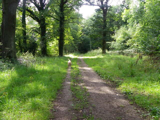
Bath Wood Plantation is a picturesque forest located in Somerset, England. Situated near the historic city of Bath, the woodland covers an area of approximately 500 acres and is a popular destination for nature lovers and outdoor enthusiasts.

The plantation is predominantly made up of broadleaf trees, including oak, beech, and ash, which create a diverse and vibrant ecosystem. The forest floor is rich in flora, with bluebells, wild garlic, and foxgloves adding bursts of color throughout the seasons.

Bath Wood Plantation boasts several well-maintained walking trails, allowing visitors to explore the woodland at their own pace. These trails range in difficulty, catering to both casual strollers and more adventurous hikers. Along the way, visitors may encounter various wildlife species, such as deer, foxes, and a wide variety of birdlife, making it a haven for birdwatching enthusiasts.

In addition to its natural beauty, Bath Wood Plantation also holds historical significance. The woodland was once part of the ancient forest of Selwood, which played a crucial role in the region's history, providing timber for shipbuilding and fuel for local industries.

Today, Bath Wood Plantation offers a tranquil escape from the hustle and bustle of city life. Whether visitors are seeking a peaceful stroll, an opportunity to connect with nature, or a chance to delve into the area's rich history, this picturesque forest has something to offer for everyone.

If you have any feedback on the listing, please let us know in the comments section below.

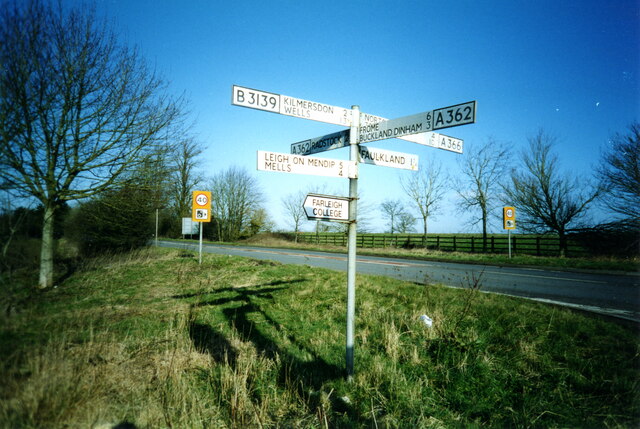
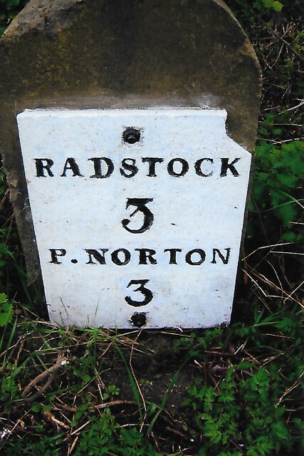
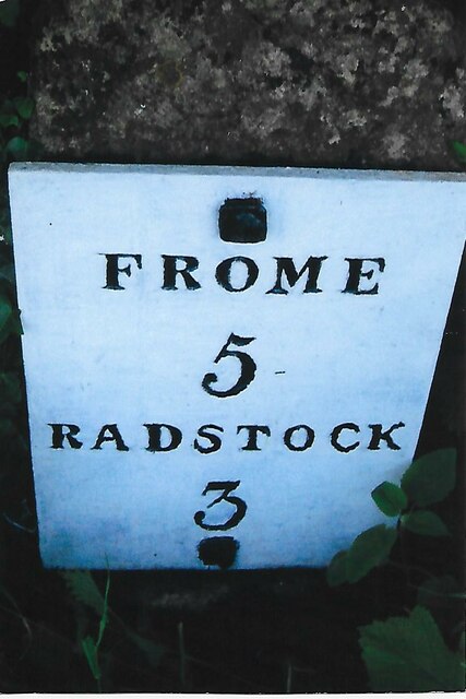
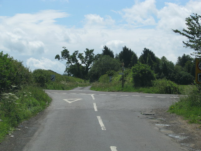
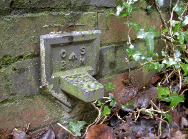
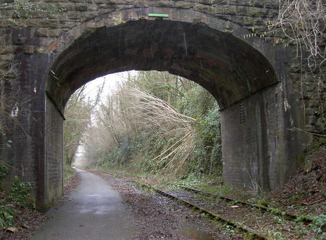
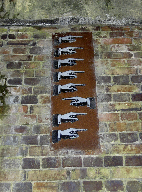
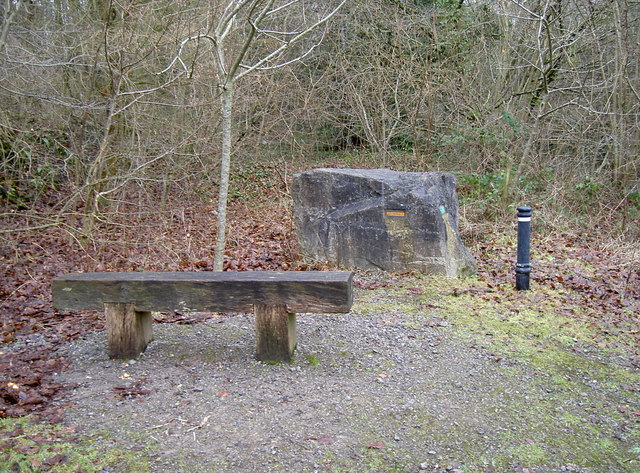
Bath Wood Plantation Images

Images are sourced within 2km of 51.270587/-2.4056549 or Grid Reference ST7152. Thanks to Geograph Open Source API. All images are credited.

Direction Sign – Signpost on the B3139 in Kilmersdon parish Located on the west side of the junction of the B3139 and Knobsbury Hill in Kilmersdon parish. 4 arms and pyramid finial.

Milestone Society National ID: SO_ST7052B
Direction Sign – Signpost on the B3139 in Kilmersdon parish
Located on the west side of the junction of the B3139 and Knobsbury Hill in Kilmersdon parish. 4 arms and pyramid finial. Milestone Society National ID: SO_ST7052B
Direction Sign – Signpost on the B3139, Frome Road, A366 and A362 crossroads in Hemington parish Located on the west side of the crossroads of the B3139, Frome Road, A366 and A362 in Hemington parish. 6 arms and lost finial.

Milestone Society National ID: SO_ST7153
Direction Sign – Signpost on the B3139, Frome Road, A366 and A362 crossroads in Hemington parish
Located on the west side of the crossroads of the B3139, Frome Road, A366 and A362 in Hemington parish. 6 arms and lost finial. Milestone Society National ID: SO_ST7153
Old Milestone by A366, North of Hemington, just West of Crossroads The Milestone is located on grass verge on the South of the road.  Parish of Hemington (Mendip District). Metal plate attached to stone post, Radstock iron plate design, erected by the Radstock turnpike trust in the 18th century, top right corner of plate gone; chips on top left of stone. An earlier photograph can be found here: <a title="https://www.geograph.org.uk/photo/6035396" href="https://www.geograph.org.uk/photo/6035396">Link</a> 

Inscription reads:-  
RADSTOCK / 3 / P. NORTON / 3   

Grade II listed. List Entry Number: 1408656 <span class="nowrap"><a title="https://historicengland.org.uk/listing/the-list/list-entry/1408656" rel="nofollow ugc noopener" href="https://historicengland.org.uk/listing/the-list/list-entry/1408656">Link</a><img style="margin-left:2px;" alt="External link" title="External link - shift click to open in new window" src="https://s1.geograph.org.uk/img/external.png" width="10" height="10"/></span> 

Milestone Society National ID: SO_FRPN11
Old Milestone by A366, North of Hemington, just West of Crossroads
The Milestone is located on grass verge on the South of the road.  Parish of Hemington (Mendip District). Metal plate attached to stone post, Radstock iron plate design, erected by the Radstock turnpike trust in the 18th century, top right corner of plate gone; chips on top left of stone. An earlier photograph can be found here: Link  Inscription reads:- RADSTOCK / 3 / P. NORTON / 3 Grade II listed. List Entry Number: 1408656 LinkExternal link Milestone Society National ID: SO_FRPN11
Old Milestone by A362, Buckland Down, North of Lodge to Ammerdown Park The Milestone is located on grass verge on the West of the road.  Parish of Hemington (Mendip  District). Metal plate attached to stone post, Radstock iron plate design, erected by the Radstock turnpike trust in the 18th century. Re-erected after being uprooted in 2001; repainted by a member of the public. An earlier photograph can be found here: <a title="https://www.geograph.org.uk/photo/6060915" href="https://www.geograph.org.uk/photo/6060915">Link</a> 

Inscription reads:-   
FROME / 5 / RADSTOCK / 3 

Grade II listed. List Entry Number: 1175774 <span class="nowrap"><a title="https://historicengland.org.uk/listing/the-list/list-entry/1175774" rel="nofollow ugc noopener" href="https://historicengland.org.uk/listing/the-list/list-entry/1175774">Link</a><img style="margin-left:2px;" alt="External link" title="External link - shift click to open in new window" src="https://s1.geograph.org.uk/img/external.png" width="10" height="10"/></span> 

Milestone Society National ID: SO_FRRS05
Old Milestone by A362, Buckland Down, North of Lodge to Ammerdown Park
The Milestone is located on grass verge on the West of the road.  Parish of Hemington (Mendip District). Metal plate attached to stone post, Radstock iron plate design, erected by the Radstock turnpike trust in the 18th century. Re-erected after being uprooted in 2001; repainted by a member of the public. An earlier photograph can be found here: Link  Inscription reads:- FROME / 5 / RADSTOCK / 3 Grade II listed. List Entry Number: 1175774 LinkExternal link Milestone Society National ID: SO_FRRS05
Road from Foxcote meets the A366
Track, Napp Wood The woodland, part of the Ammerdown Estate is open for the public.
Track, Napp Wood
The woodland, part of the Ammerdown Estate is open for the public.
St Margaret's parish church and Babington House St Margaret's Church was constructed in c1750 by an unknown architect (possibly to the design of John Strahan or William Halfpenny). The adjacent Babington House was built c1705 for Henry Mompesson and underwent updating later in the mid-C18, and again more radically in 1790 when the house and its park was in the hands of the Knatchbull family. Successive members of this family remained in possession until 1952 when the house and immediate grounds were sold. The house was bought in 1998 and converted into a hotel, private members club, and wedding venue. Many celebrity weddings have taken place here, with the redundant St Margaret's Church being brought into use (but not exclusively) for their wedding services. As well as serving Babington House, the church still hosts the occasional baptism and funeral service, as well as burials in existing graves within the cemetery.
St Margaret's parish church and Babington House
St Margaret's Church was constructed in c1750 by an unknown architect (possibly to the design of John Strahan or William Halfpenny). The adjacent Babington House was built c1705 for Henry Mompesson and underwent updating later in the mid-C18, and again more radically in 1790 when the house and its park was in the hands of the Knatchbull family. Successive members of this family remained in possession until 1952 when the house and immediate grounds were sold. The house was bought in 1998 and converted into a hotel, private members club, and wedding venue. Many celebrity weddings have taken place here, with the redundant St Margaret's Church being brought into use (but not exclusively) for their wedding services. As well as serving Babington House, the church still hosts the occasional baptism and funeral service, as well as burials in existing graves within the cemetery.
St Margaret's parish church, Babington St Margaret's Church was built in c1750 by Mrs Elizabeth Long when she inherited Babington House on the death of her uncle Henry Mompesson. At the same time the remains of the old declining medieval village of Babington was cleared away in order to create a park. Baroque in style, the church's design is similar to that of Redland Chapel, Bristol, perhaps indicating Mrs Long's family connections with that city.

The church stands adjacent to Babington House but separate from it within its own churchyard and cemetery, with the grounds of the house bordering it on three sides. It is owned and operated by the St. Margaret's, Babington, Charitable Trust and has been since 1993, following its legal redundancy by the Church of England. Members of the Trust include representatives of the Knatchbull and Jennings families who previously owned Babington House. The church is used mainly for weddings, and Wedding Blessings for clients of Babington House, although it is by no means for their exclusive use. The Church is also used for numerous other religious purposes, including baptisms and funerals, and although the churchyard is legally a Closed Churchyard, burials still take place in existing graves in the attached cemetery.
St Margaret's parish church, Babington
St Margaret's Church was built in c1750 by Mrs Elizabeth Long when she inherited Babington House on the death of her uncle Henry Mompesson. At the same time the remains of the old declining medieval village of Babington was cleared away in order to create a park. Baroque in style, the church's design is similar to that of Redland Chapel, Bristol, perhaps indicating Mrs Long's family connections with that city. The church stands adjacent to Babington House but separate from it within its own churchyard and cemetery, with the grounds of the house bordering it on three sides. It is owned and operated by the St. Margaret's, Babington, Charitable Trust and has been since 1993, following its legal redundancy by the Church of England. Members of the Trust include representatives of the Knatchbull and Jennings families who previously owned Babington House. The church is used mainly for weddings, and Wedding Blessings for clients of Babington House, although it is by no means for their exclusive use. The Church is also used for numerous other religious purposes, including baptisms and funerals, and although the churchyard is legally a Closed Churchyard, burials still take place in existing graves in the attached cemetery.
St Margaret's church, Babington - the nave The furnishings are all original, box pews, altar rails, and pulpit.
St Margaret's church, Babington - the nave
The furnishings are all original, box pews, altar rails, and pulpit.
St Margaret's church, Babington - the chancel The chancel is contained within a domed shallow apse containing a stuccoed 'rays of glory' cartouche in place of a reredos.
St Margaret's church, Babington - the chancel
The chancel is contained within a domed shallow apse containing a stuccoed 'rays of glory' cartouche in place of a reredos.
St Margaret's church, Babington - Pacey-Mompesson monument The memorial commemorates members of the Pacey and Mompesson families who were related by marriage. Thomas Pacey (†1687) was the C17 owner of the manor of Babington, and was married to wife Mary. The estate eventually passed to Elizabeth, the wife of Henry Mompesson of Corston, Wiltshire, Sheriff of Somerset in 1698, who built Babington House in c1705. Both are also commemorated; Henry died in 1715, his wife Elizabeth in 1726.
St Margaret's church, Babington - Pacey-Mompesson monument
The memorial commemorates members of the Pacey and Mompesson families who were related by marriage. Thomas Pacey (†1687) was the C17 owner of the manor of Babington, and was married to wife Mary. The estate eventually passed to Elizabeth, the wife of Henry Mompesson of Corston, Wiltshire, Sheriff of Somerset in 1698, who built Babington House in c1705. Both are also commemorated; Henry died in 1715, his wife Elizabeth in 1726.
St Margaret's church, Babington - Royal Arms The Royal Arms of George II is plastered in relief at the west end.
St Margaret's church, Babington - Royal Arms
The Royal Arms of George II is plastered in relief at the west end.
Blessed Virgin Mary, Hemington
Cornish's Grave Projecting Bracket An old style of survey marker in the structure of a railway bridge near Kilmersdon. These were fairly short-lived, being used from the Second Geodetic Levelling from 1912 but replaced by Flush Brackets. Most surviving examples are often found along railway lines, like this one. See <a href="https://www.geograph.org.uk/photo/3328686">ST7151 : Cornish's Grave bridge</a> for a wider view and <span class="nowrap"><a title="http://www.bench-marks.org.uk/bm2509" rel="nofollow ugc noopener" href="http://www.bench-marks.org.uk/bm2509">Link</a><img style="margin-left:2px;" alt="External link" title="External link - shift click to open in new window" src="https://s1.geograph.org.uk/img/external.png" width="10" height="10"/></span> for the listing in the Benchmark Database and nearby ones too.
Cornish's Grave Projecting Bracket
An old style of survey marker in the structure of a railway bridge near Kilmersdon. These were fairly short-lived, being used from the Second Geodetic Levelling from 1912 but replaced by Flush Brackets. Most surviving examples are often found along railway lines, like this one. See ST7151 : Cornish's Grave bridge for a wider view and LinkExternal link for the listing in the Benchmark Database and nearby ones too.
Cornish's Grave bridge Once the old colliers' line saw trains running along the tracks but today is now National Cycle Network Route 24. A projecting bracket can be found low down on the corner of the wall to the left of shot - see <a href="https://www.geograph.org.uk/photo/3328661">ST7151 : Cornish's Grave Projecting Bracket</a>.
Cornish's Grave bridge
Once the old colliers' line saw trains running along the tracks but today is now National Cycle Network Route 24. A projecting bracket can be found low down on the corner of the wall to the left of shot - see ST7151 : Cornish's Grave Projecting Bracket.
Is it me? Along the old coal railway line from Radstock to Frome are a number of bridges. Having been closed to traffic in 1988, the line was converted into National Cycle Network Route 24 and artists Elizabeth Turrell and Imi Murf have placed artworks into the high arches in order to recount the days of steam. These enamel fingers are arranged differently at each bridge. See <a href="https://www.geograph.org.uk/photo/3328686">ST7151 : Cornish's Grave bridge</a> for a view of the bridge and <a href="https://www.geograph.org.uk/photo/3330196">ST7549 : A curious mixture</a> for another example further down the line.
Is it me?
Along the old coal railway line from Radstock to Frome are a number of bridges. Having been closed to traffic in 1988, the line was converted into National Cycle Network Route 24 and artists Elizabeth Turrell and Imi Murf have placed artworks into the high arches in order to recount the days of steam. These enamel fingers are arranged differently at each bridge. See ST7151 : Cornish's Grave bridge for a view of the bridge and ST7549 : A curious mixture for another example further down the line.
Simple art The Colliers Way is illuminated by frequent artworks of a more practical nature. Here a solid bench by Yumiko Aoyagi stands next to a boulder by Elizabeth Turrell and Imi Maufe, which has names of old apple and pear varieties set into it.
Simple art
The Colliers Way is illuminated by frequent artworks of a more practical nature. Here a solid bench by Yumiko Aoyagi stands next to a boulder by Elizabeth Turrell and Imi Maufe, which has names of old apple and pear varieties set into it.
Undercover pipes Actually perhaps these should be under the ground? Some of the products of the concrete works nearby have clearly been misappropriated. See <a href="https://www.geograph.org.uk/photo/3329152">ST7151 : Open both ends</a> for another inadvertent wildlife refuge.
Undercover pipes
Actually perhaps these should be under the ground? Some of the products of the concrete works nearby have clearly been misappropriated. See ST7151 : Open both ends for another inadvertent wildlife refuge.
Show me another place!

Bath Wood Plantation is located at Grid Ref: ST7152 (Lat: 51.270587, Lng: -2.4056549)

Administrative County: Somerset

District: Mendip

Police Authority: Avon and Somerset

What 3 Words

///marketing.bless.trusts. Near Radstock, Somerset

Related Wikis

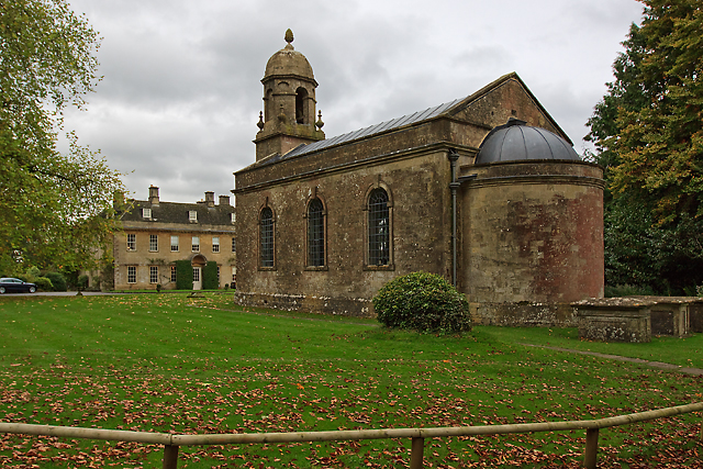
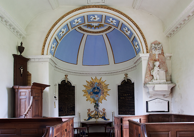
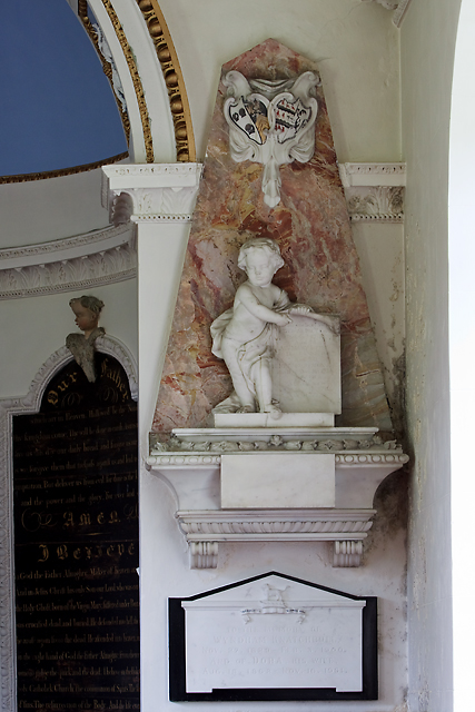
Ammerdown House, Kilmersdon

Ammerdown House in Kilmersdon, Somerset, England, was built in 1788. It has been designated as Grade I listed building.It was built as a country house...

Kingsdown Camp

Kingsdown Camp is an Iron Age hillfort at Buckland Dinham 4.5 kilometres (3 mi) South East of Radstock, Somerset, England. It is a Scheduled Monument.It...

St Mary's Church, Hemington

St. Mary's Hemington is an Anglican church in Hemington, Somerset, England. The Norman church underwent major renovation in the 14th, 15th, 17th and 19th...

Hemington, Somerset

Hemington is a village and civil parish 5.5 miles (8.9 km) north west of Frome, in the Mendip district of Somerset, England. It is located just off the...

Mells Road railway station

Mells Road railway station served the village of Mells, Somerset, England from 1875 to 1959 linking Radstock to Frome, Somerset on the Heart of Wessex...

Babington, Somerset

Babington is a small village between Radstock and Frome, Somerset, England, which has now largely disappeared. == History == In 1233 or 1234 much of the...

Babington House

Babington House is a Grade II* listed manor house, located in the village of Babington, between Radstock and Frome, in the county of Somerset, England...

Kilmersdon

Kilmersdon is a village and civil parish on the north eastern slopes of the Mendip Hills in Somerset between the towns of Radstock and Frome. It is located...

Nearby Amenities

Located within 500m of 51.270587,-2.4056549
Ammerdown Tower
Historic: monument
Monument: tower
Lat/Long: 51.2679723/-2.4053996
The data included in this document is from www.openstreetmap.org. The data is made available under ODbL.

Have you been to Bath Wood Plantation?

Leave your review of Bath Wood Plantation below (or comments, questions and feedback).