Hooles Plantation
Wood, Forest in Shropshire
England
Hooles Plantation

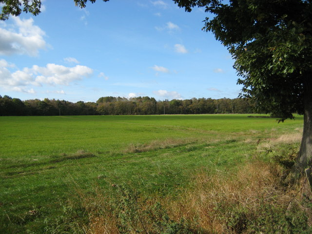
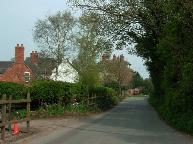
Hooles Plantation is a woodland area located in Shropshire, England. Covering an extensive area, the plantation is renowned for its rich biodiversity and stunning natural beauty. Nestled within the county's picturesque landscape, it offers visitors a tranquil and immersive experience in the heart of nature.
The plantation is primarily composed of deciduous trees, including oak, beech, and birch, creating a diverse and vibrant forest ecosystem. These trees provide a habitat for a wide range of wildlife, such as deer, squirrels, and a variety of bird species, making it a popular spot for nature enthusiasts and birdwatchers.
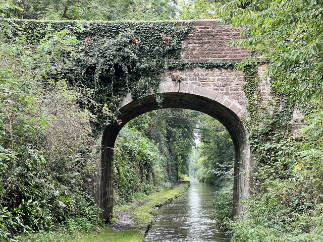
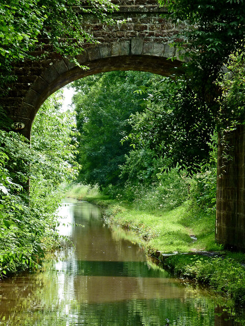
Hooles Plantation boasts well-maintained walking trails that wind through the woodland, allowing visitors to explore its enchanting surroundings. These trails offer a chance to witness the seasonal changes in the flora and fauna, with colorful wildflowers blooming in the spring and vibrant foliage in the autumn.
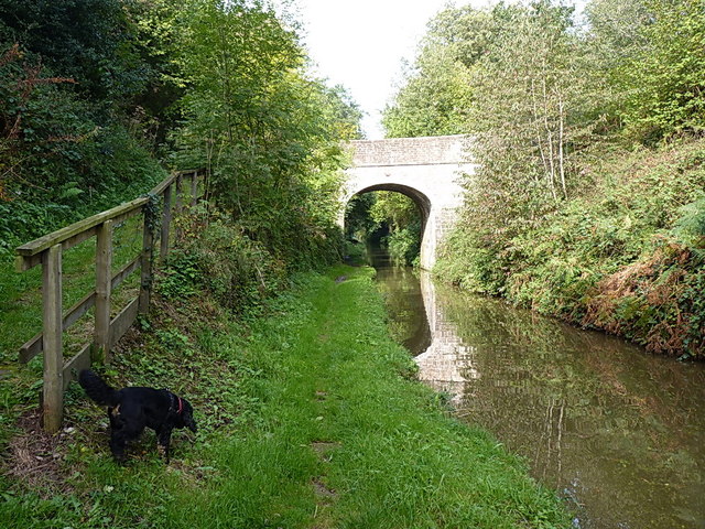
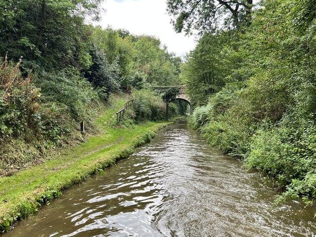
The plantation is also home to a small, serene lake, adding to its natural charm. This tranquil waterbody attracts various aquatic species, including ducks and other waterfowl, offering visitors the opportunity to observe and appreciate the diverse array of life within the plantation.
Additionally, Hooles Plantation has picnic areas and benches strategically placed throughout the woodland, providing visitors with the perfect spots to relax and enjoy the peaceful ambiance. The plantation is open to the public year-round, offering a haven for those seeking a serene escape from the bustling urban environment.
If you have any feedback on the listing, please let us know in the comments section below.
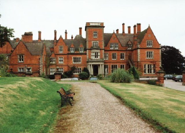
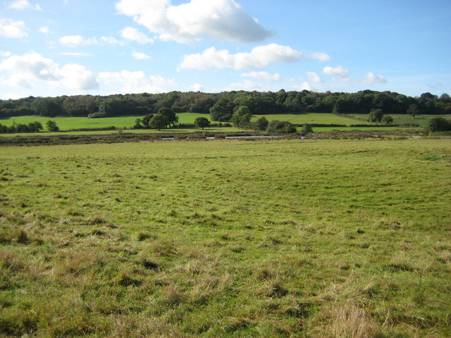
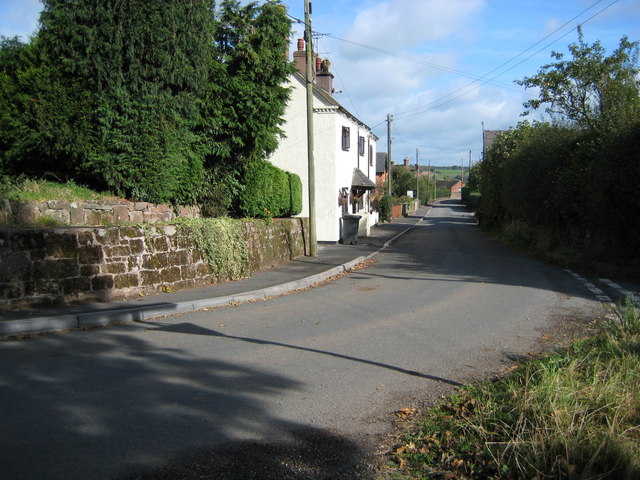
Hooles Plantation Images
Images are sourced within 2km of 52.874942/-2.4204262 or Grid Reference SJ7130. Thanks to Geograph Open Source API. All images are credited.


Hooles Plantation is located at Grid Ref: SJ7130 (Lat: 52.874942, Lng: -2.4204262)
Unitary Authority: Shropshire
Police Authority: West Mercia
What 3 Words
///scarves.leathers.fury. Near Market Drayton, Shropshire
Nearby Locations
Related Wikis

Cheswardine
Cheswardine ( CHEZ-war-dyne) is a rural village and civil parish in north east Shropshire, England. The village lies close to the border with Staffordshire...

Soudley, Shropshire
Soudley is a small village in Shropshire in the civil parish of Cheswardine. The village had a pub called The Wheatsheaf until it was destroyed by fire...

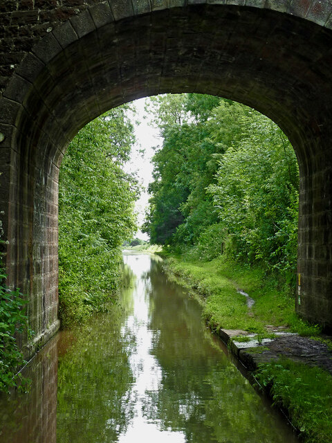
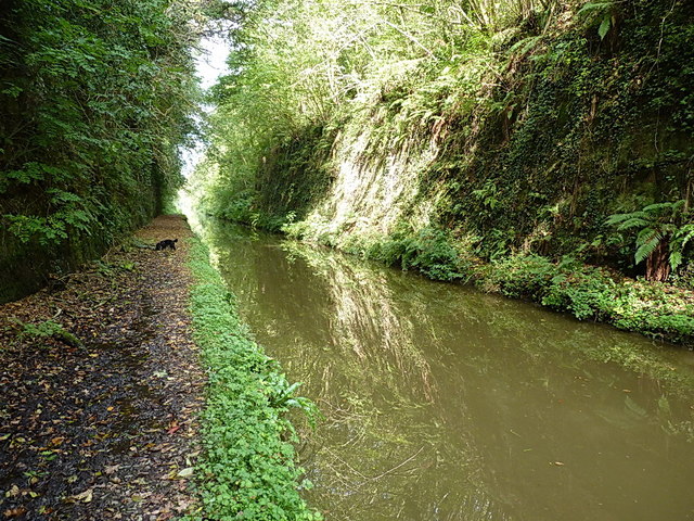
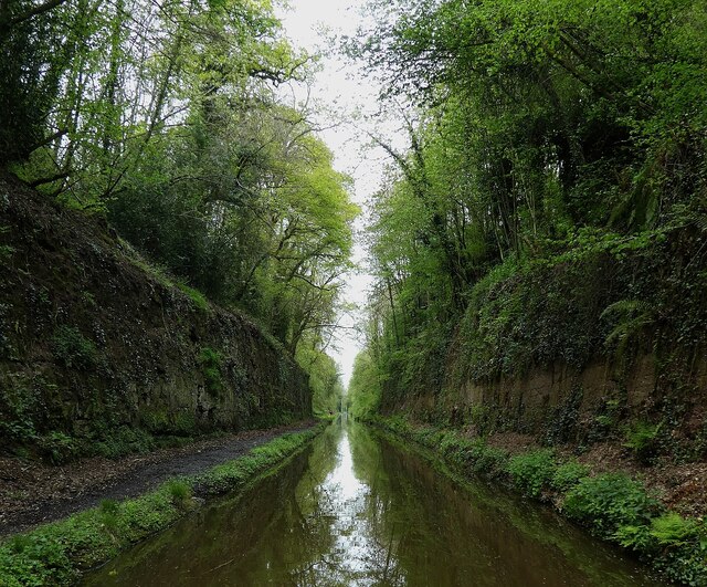
Tyrley Canal Cutting
Tyrley Canal Cutting is a Site of Special Scientific Interest located on the Shropshire Union Canal approximately 2.5 miles south of Market Drayton, to...

Goldstone, Shropshire
Goldstone is a small hamlet in eastern Shropshire, England, in the civil parish of Cheswardine. It lies in an isolated rural area north of Hinstock and...
Almington
Almington is a small village in Staffordshire, England. It is about 2 miles (3.2 km) east-northeast of Market Drayton by road, to the northwest of the...

Hales, Staffordshire
Hales is a village in Staffordshire approximately 2 miles east of Market Drayton. Population details as taken at the 2011 census can be found under Loggerheads...
Blore Heath Rural District
Blore Heath was a rural district in Staffordshire, England from 1894 to 1932. It was created under the Local Government Act 1894 from that part of the...

Battle of Blore Heath
The Battle of Blore Heath was a battle in the English Wars of the Roses that was fought on 23 September 1459, at Blore Heath, Staffordshire. Blore Heath...
Nearby Amenities
Located within 500m of 52.874942,-2.4204262Have you been to Hooles Plantation?
Leave your review of Hooles Plantation below (or comments, questions and feedback).