Coven Lawn

Settlement in Staffordshire South Staffordshire

England

Coven Lawn

River Penk - downstream at Pendeford Hall Lane
River Penk - downstream at Pendeford Hall Lane Credit: John M

Coven Lawn is a small village located in the county of Staffordshire, England. Situated in the West Midlands region, it lies approximately 5 miles northwest of the city of Wolverhampton and 13 miles north of the county town, Stafford. With a population of around 2,000 residents, Coven Lawn is a close-knit community with a strong sense of local identity.

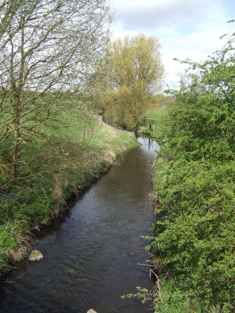
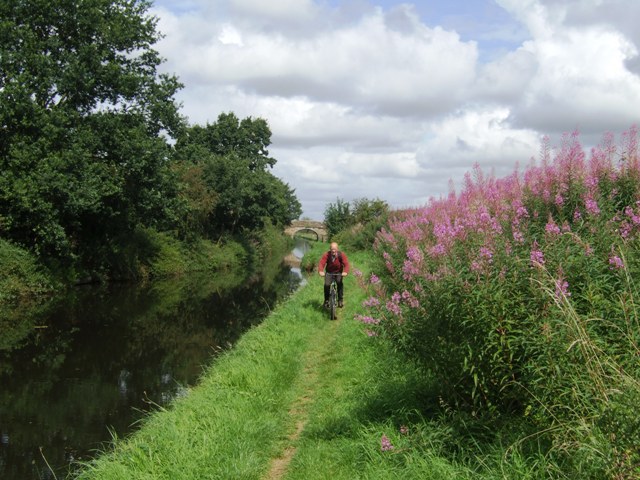
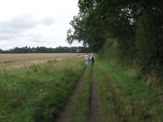
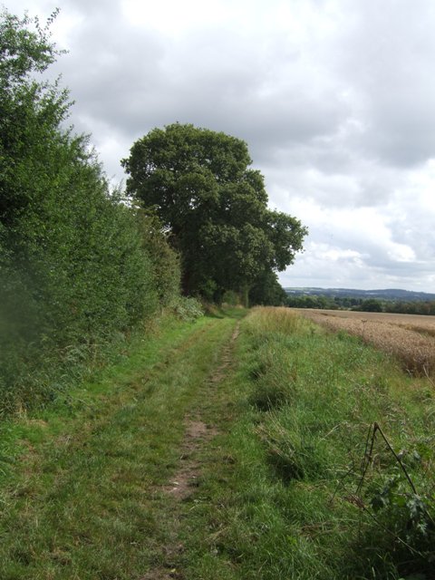
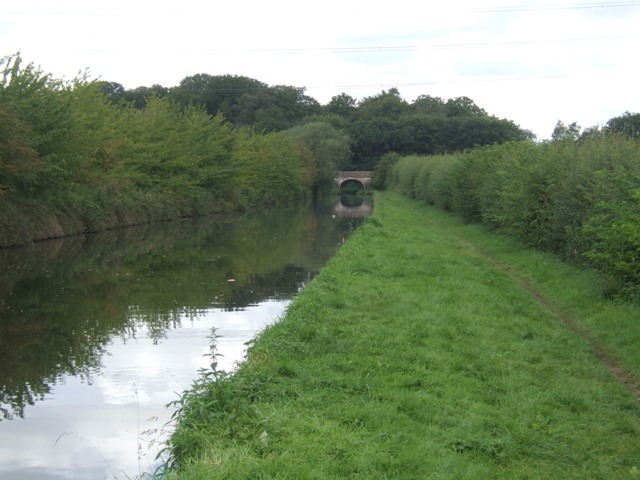
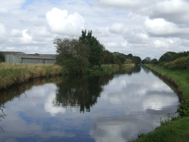
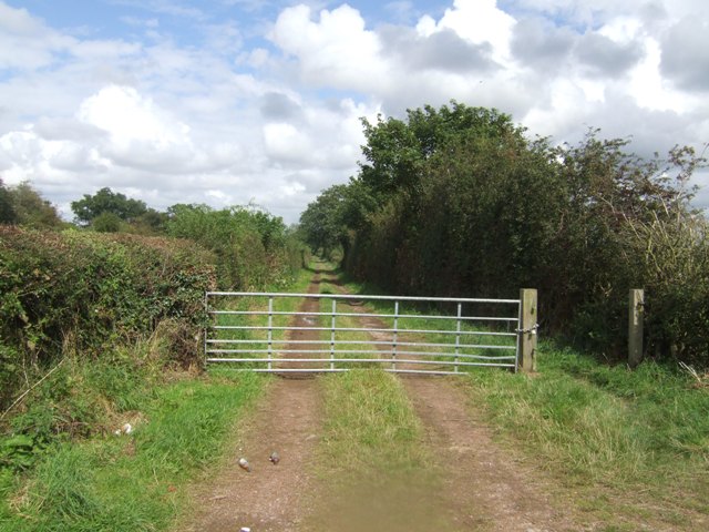
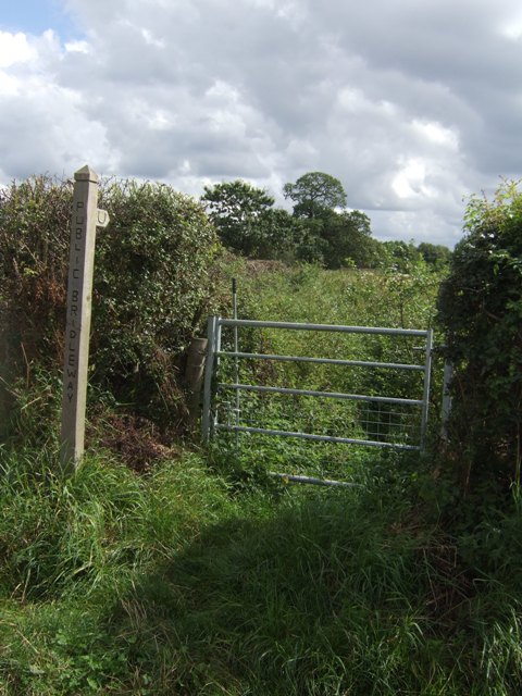
The village is known for its picturesque surroundings, with rolling countryside and lush green fields that provide a peaceful and serene atmosphere. Coven Lawn is also blessed with a variety of natural attractions, including nearby nature reserves and parks, making it an ideal destination for outdoor enthusiasts and nature lovers.

The village is well-served by transportation links, with easy access to major roads such as the A449 and A5. This makes it convenient for residents to travel to nearby towns and cities for work or leisure activities. Additionally, Coven Lawn benefits from a reliable public transportation system, ensuring connectivity to neighboring areas.

In terms of amenities, Coven Lawn offers a range of local services and facilities to cater to the needs of its residents. These include a village hall, a primary school, a post office, and a handful of shops and eateries. The village also has a strong sense of community spirit, with regular events and activities organized by local groups and societies.

Overall, Coven Lawn provides a peaceful and idyllic setting for residents, with its beautiful surroundings, convenient location, and strong community spirit.

If you have any feedback on the listing, please let us know in the comments section below.
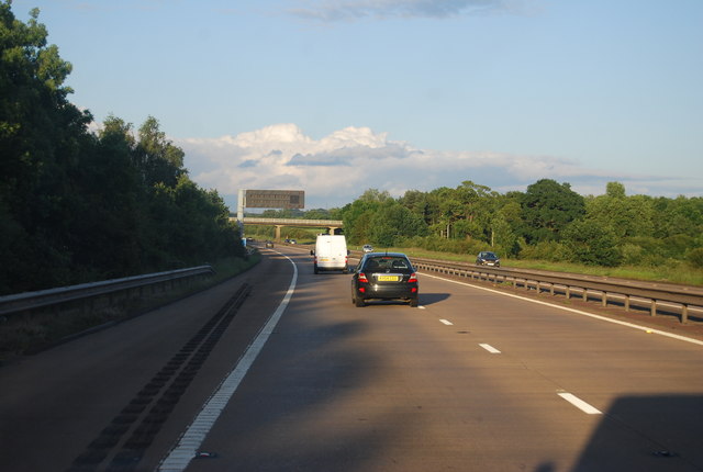
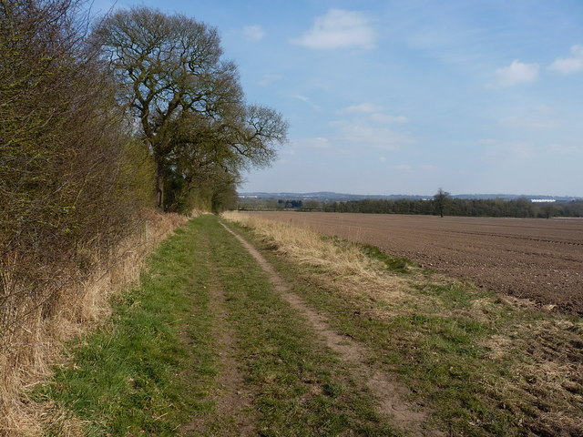
Coven Lawn Images

Images are sourced within 2km of 52.649376/-2.138911 or Grid Reference SJ9005. Thanks to Geograph Open Source API. All images are credited.

River Penk - downstream at Pendeford Hall Lane
Shropshire Union towpath near Lower Hattons Bridge The Monarch's Way follows the towpath south to Pendeford Bridge on its way from Boscobel to Moseley Old Hall.
Shropshire Union towpath near Lower Hattons Bridge
The Monarch's Way follows the towpath south to Pendeford Bridge on its way from Boscobel to Moseley Old Hall.
Walkers on the Monarchs Way Between Hunting Bridge and Port Lane.
Walkers on the Monarchs Way
Between Hunting Bridge and Port Lane.
Monarch's Way The path drops down from Port Lane to Hunting Bridge heading for Pendeford Mill.
Monarch's Way
The path drops down from Port Lane to Hunting Bridge heading for Pendeford Mill.
Shropshire Union Canal - View towards Park Bridge
Winding hole north of Lower Hattons Bridge On the Shropshire Union Canal.
Winding hole north of Lower Hattons Bridge
On the Shropshire Union Canal.
Farm lane by the Hattons Permissive footpath and bridleway.
Farm lane by the Hattons
Permissive footpath and bridleway.
Bridleway to Pendeford The overgrown path looked to be too much of a challenge without a machete.
Bridleway to Pendeford
The overgrown path looked to be too much of a challenge without a machete.
M54 near Ash Coppice The M54 is a 23 mile east-west motorway in Shropshire and Staffordshire. It is a two-lane dual carriageway for the majority of its length, with sections of three-lane.
The M54 spur connects the M6 motorway near Essington, Staffordshire with the A5 trunk road at Wellington, Shropshire. The motorway forms part of the route to North Wales, roughly following the path of the Roman Watling Street and the A5 north-westwards, towards the port of Holyhead.
M54 near Ash Coppice
The M54 is a 23 mile east-west motorway in Shropshire and Staffordshire. It is a two-lane dual carriageway for the majority of its length, with sections of three-lane. The M54 spur connects the M6 motorway near Essington, Staffordshire with the A5 trunk road at Wellington, Shropshire. The motorway forms part of the route to North Wales, roughly following the path of the Roman Watling Street and the A5 north-westwards, towards the port of Holyhead.
Bridleway towards Hunting Bridge
On top of Hunting Bridge The bridleway crosses the Shropshire Union Canal.
On top of Hunting Bridge
The bridleway crosses the Shropshire Union Canal.
The Shroppy north of Hunting Bridge
Between The Hattons and Hunting Bridge Looking north along The Shroppy canal
Between The Hattons and Hunting Bridge
Looking north along The Shroppy canal
Lower Hattons Bridge North along the Shroppy canal from the sandstone bridge at the Hattons farms.
Lower Hattons Bridge
North along the Shroppy canal from the sandstone bridge at the Hattons farms.
The M54 overbridge New heavy-good transport system crosses old.
The M54 overbridge
New heavy-good transport system crosses old.
M54 motorway at Coven Lane bridge
M54 approaches Lawn Lane overbridge
Shropshire Union Canal north-east of Codsall, Staffordshire Here the canal is approaching Lower Hattons Bridge (No 6) on the Shropshire Union Canal. The canal was opened in 1835 as the Birmingham and Liverpool Junction Canal to link the Midlands network with that of the north-west. The bridge carries a farm track, also used as a bridleway.
Shropshire Union Canal north-east of Codsall, Staffordshire
Here the canal is approaching Lower Hattons Bridge (No 6) on the Shropshire Union Canal. The canal was opened in 1835 as the Birmingham and Liverpool Junction Canal to link the Midlands network with that of the north-west. The bridge carries a farm track, also used as a bridleway.
Show me another place!

Coven Lawn is located at Grid Ref: SJ9005 (Lat: 52.649376, Lng: -2.138911)

Administrative County: Staffordshire

District: South Staffordshire

Police Authority: Staffordshire

What 3 Words

///crunch.spring.luck. Near Coven, Staffordshire

Nearby Locations

Coven Lawn Coven Lawn

Related Wikis

Coven, Staffordshire

Coven is a village in the district of South Staffordshire, England, near to the border with Wolverhampton. Together with Brewood it forms part of the...

Wolverhampton Casuals F.C.

Wolverhampton Casuals Football Club are a football club based in Featherstone, near Wolverhampton, England. Established in 1899, they are currently members...

St Paul's Church, Coven

St Paul's Church, Coven is a Grade II listed parish church in the Church of England in Coven, Staffordshire == History == The church was built in 1857...

Brinsford Parkway railway station

Brinsford Parkway is a proposed mainline railway station to the north of Wolverhampton, England. It has yet to be passed and is still in planning stages...

HM Prison Oakwood

HM Prison Oakwood is a Category C prison in Featherstone, Staffordshire, England. First opened in April 2012, the prison is operated by G4S and was primed...

HM Prison Featherstone

HM Prison Featherstone is a Category C men's prison, located in the village of Featherstone (near Wolverhampton), in Staffordshire, England. The prison...
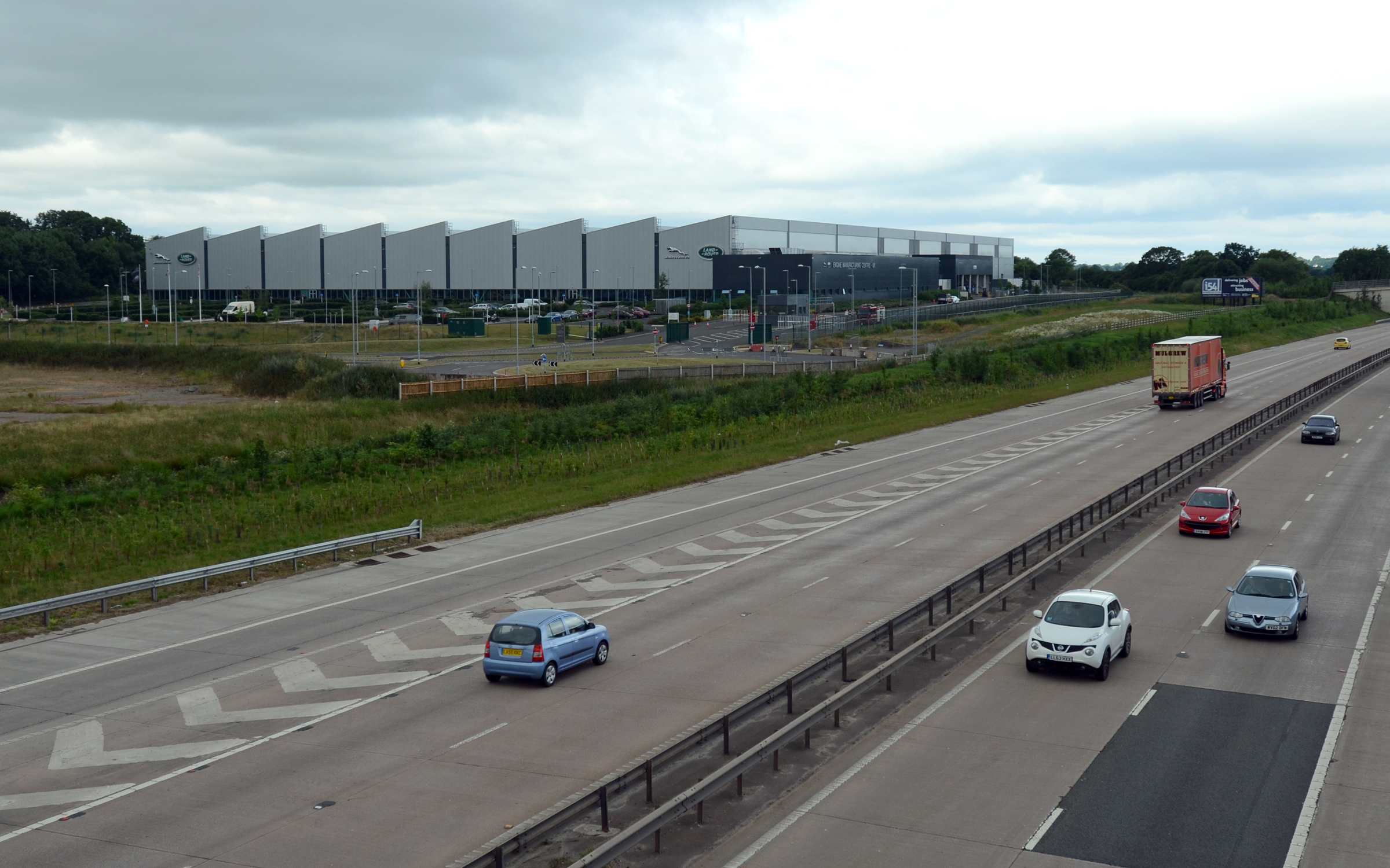
I54

i54 South Staffordshire is a 98-hectare (240-acre) UK technology-based business park located at Junction 2 on the M54 Motorway in the West Midlands, on...

Goodrich F.C.

Goodrich F.C. was a football club based in Wolverhampton, West Midlands, England. The team joined the West Midlands (Regional) League Division One North...

Have you been to Coven Lawn?

Leave your review of Coven Lawn below (or comments, questions and feedback).