Coven Heath

Settlement in Staffordshire South Staffordshire

England

Coven Heath

M54 near Ash Coppice The M54 is a 23 mile east-west motorway in Shropshire and Staffordshire. It is a two-lane dual carriageway for the majority of its length, with sections of three-lane.
The M54 spur connects the M6 motorway near Essington, Staffordshire with the A5 trunk road at Wellington, Shropshire. The motorway forms part of the route to North Wales, roughly following the path of the Roman Watling Street and the A5 north-westwards, towards the port of Holyhead.
M54 near Ash Coppice Credit: N Chadwick

Coven Heath is a small village located in the county of Staffordshire, England. Situated approximately 6 miles north-west of the city of Wolverhampton, it falls within the South Staffordshire district. With a population of around 2,000 residents, Coven Heath maintains a close-knit community atmosphere.

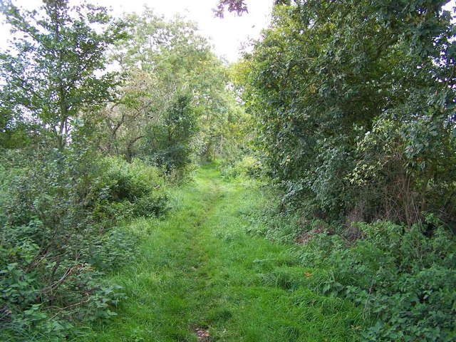
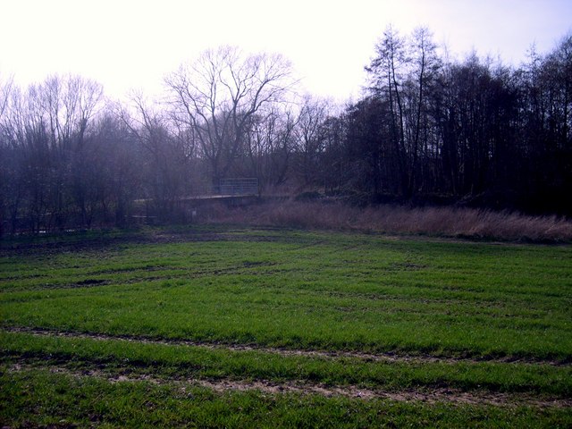
The village is known for its picturesque surroundings, nestled amidst the rolling countryside of Staffordshire. It offers a peaceful and tranquil environment, with many residents enjoying the rural lifestyle and the abundance of natural beauty that surrounds them.

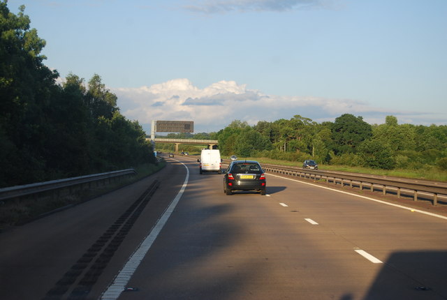
Coven Heath is well-connected to neighboring towns and cities, with convenient access to major road networks such as the A449 and the M6 motorway. This makes it an attractive location for commuters working in Wolverhampton or other nearby urban centers.

In terms of amenities, the village boasts a range of local shops, including a convenience store and a post office, ensuring residents have easy access to everyday necessities. Additionally, there are several pubs and restaurants where locals and visitors can enjoy a meal or a drink in a friendly atmosphere.

For those seeking recreational activities, Coven Heath offers various options. The village has a community center that hosts regular events and activities for residents of all ages. The nearby countryside provides ample opportunities for outdoor pursuits, including walking, cycling, and horse riding.

Overall, Coven Heath is a charming village that offers a peaceful and picturesque lifestyle, while still providing convenient access to nearby urban centers and a range of amenities.

If you have any feedback on the listing, please let us know in the comments section below.

Coven Heath Images

Images are sourced within 2km of 52.641295/-2.130018 or Grid Reference SJ9104. Thanks to Geograph Open Source API. All images are credited.

M54 near Ash Coppice The M54 is a 23 mile east-west motorway in Shropshire and Staffordshire. It is a two-lane dual carriageway for the majority of its length, with sections of three-lane.
The M54 spur connects the M6 motorway near Essington, Staffordshire with the A5 trunk road at Wellington, Shropshire. The motorway forms part of the route to North Wales, roughly following the path of the Roman Watling Street and the A5 north-westwards, towards the port of Holyhead.
M54 near Ash Coppice
The M54 is a 23 mile east-west motorway in Shropshire and Staffordshire. It is a two-lane dual carriageway for the majority of its length, with sections of three-lane. The M54 spur connects the M6 motorway near Essington, Staffordshire with the A5 trunk road at Wellington, Shropshire. The motorway forms part of the route to North Wales, roughly following the path of the Roman Watling Street and the A5 north-westwards, towards the port of Holyhead.
M54 motorway at Coven Lane bridge
M54 approaches Lawn Lane overbridge
Monarch's Way, Pendeford
Hedge Stile The Footpath towards Lower Hattons.
Hedge Stile
The Footpath towards Lower Hattons.
Daff's for the Monarch The Monarch's Way near Pendeford Mill.
Daff's for the Monarch
The Monarch's Way near Pendeford Mill.
Approaching the River Penk Footpath near Lower Hattons.
Approaching the River Penk
Footpath near Lower Hattons.
Footbridge near the Penk Footpath near the River Penk at Lower Hattons.
Footbridge near the Penk
Footpath near the River Penk at Lower Hattons.
Old Penk Bridge The River Penk near Lower Hattons.
Old Penk Bridge
The River Penk near Lower Hattons.
River Penk View The River near Lower Hattons.
River Penk View
The River near Lower Hattons.
Passing over the Penk The Bridge over the River Penk near Lower Hattons.
Passing over the Penk
The Bridge over the River Penk near Lower Hattons.
Middle Lane A part of the Monarch's Way near Pendeford Mill.
Middle Lane
A part of the Monarch's Way near Pendeford Mill.
Middle Lane View A part of the Monarch's Way near Bilbrook.
Middle Lane View
A part of the Monarch's Way near Bilbrook.
The Birmingham Midshires offices, Pendeford The modern offices of the B'ham Midshires building society, nowadays a part of the Lloyds Banking group.
The Birmingham Midshires offices, Pendeford
The modern offices of the B'ham Midshires building society, nowadays a part of the Lloyds Banking group.
M54 Motorway approaching Coven Lane overbridge
M54 Motorway west of Coven Lane
Show me another place!

Coven Heath is located at Grid Ref: SJ9104 (Lat: 52.641295, Lng: -2.130018)

Administrative County: Staffordshire

District: South Staffordshire

Police Authority: Staffordshire

What 3 Words

///gears.gazed.refuse. Near Coven, Staffordshire

Nearby Locations

Coven Heath

Related Wikis

Wolverhampton Casuals F.C.

Wolverhampton Casuals Football Club are a football club based in Featherstone, near Wolverhampton, England. Established in 1899, they are currently members...

Goodrich F.C.

Goodrich F.C. was a football club based in Wolverhampton, West Midlands, England. The team joined the West Midlands (Regional) League Division One North...
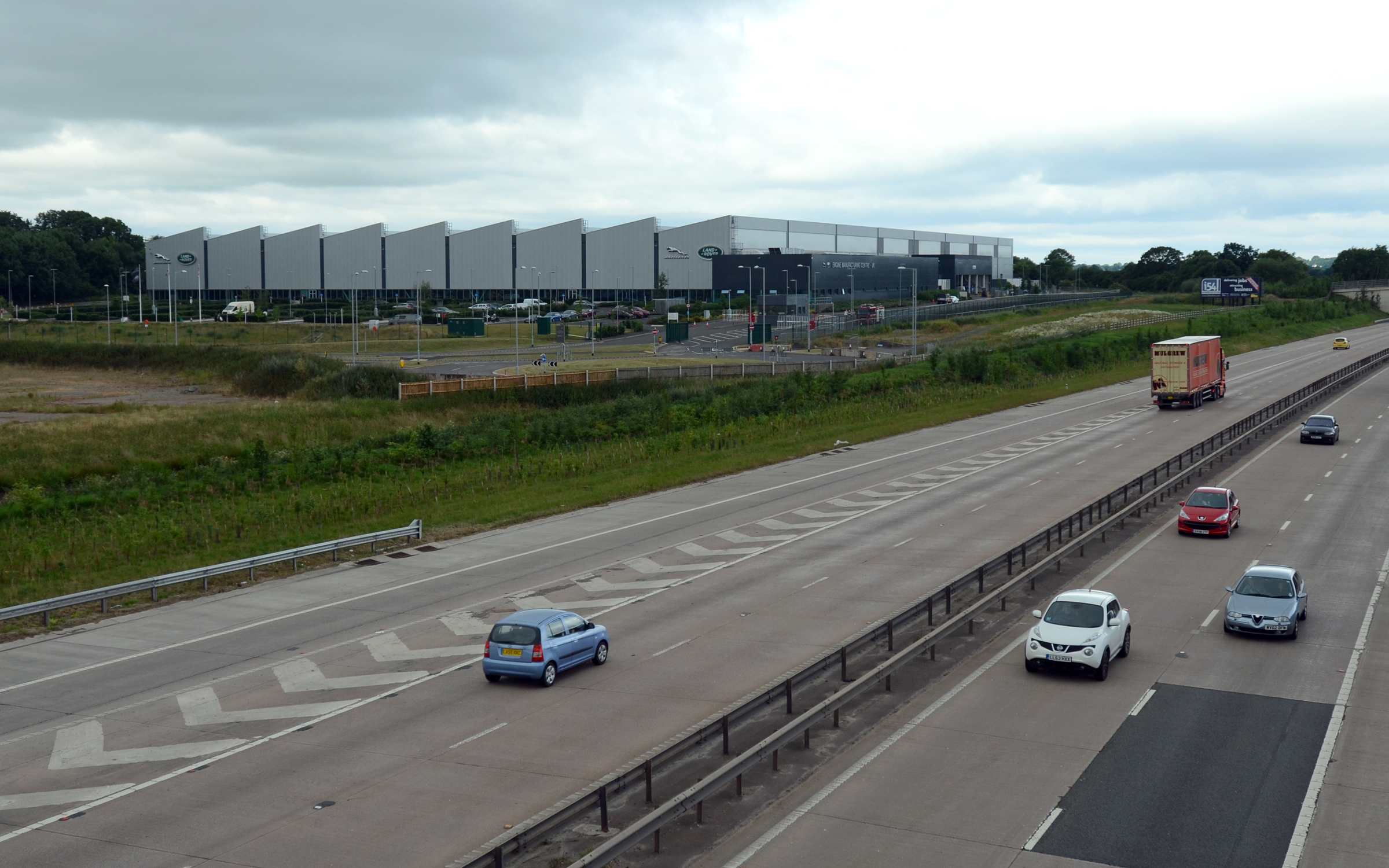
I54

i54 South Staffordshire is a 98-hectare (240-acre) UK technology-based business park located at Junction 2 on the M54 Motorway in the West Midlands, on...

HM Prison Oakwood

HM Prison Oakwood is a Category C prison in Featherstone, Staffordshire, England. First opened in April 2012, the prison is operated by G4S and was primed...

Coven, Staffordshire

Coven is a village in the district of South Staffordshire, England, near to the border with Wolverhampton. Together with Brewood it forms part of the...

Fordhouses

Fordhouses is a suburb of Wolverhampton, West Midlands, England. It is situated to the north of the city centre, adjacent to the border with Staffordshire...

Brinsford Parkway railway station

Brinsford Parkway is a proposed mainline railway station to the north of Wolverhampton, England. It has yet to be passed and is still in planning stages...

HM Prison Brinsford

HMP & YOI Prison Brinsford is an adult male Category B & C prison and Young Offenders Institution (YOI), located in the village of Featherstone (near Wolverhampton...

Nearby Amenities

Located within 500m of 52.641295,-2.130018
Crossing
Crossing Ref: toucan
Source: bing
Lat/Long: 52.6388866/-2.1259428
Crossing
Crossing Ref: toucan
Lat/Long: 52.6383699/-2.1271548
Source: OS-1:25000-SJ90-1947(A)
Lat/Long: 52.6447173/-2.1312427
Bus Stop
Old Heath House
Naptan AtcoCode: 3800C629401
Naptan Bearing: S
Naptan CommonName: Old Heath House
Naptan Indicator: Opp
Naptan Landmark: Old Heath House
Naptan Street: Stafford Rd
Naptan Verified: no
Public Transport: platform
Source: naptan_import
Lat/Long: 52.6424283/-2.1264639
Bus Stop
Old Heath House
Bus: yes
Naptan AtcoCode: 3800C629402
Naptan Bearing: N
Naptan CommonName: Old Heath House
Naptan Indicator: Adj
Naptan Landmark: Old Heath House
Naptan Street: Stafford Road
Naptan Verified: no
Public Transport: platform
Shelter: yes
Source: naptan_import
Lat/Long: 52.6410051/-2.1267385
Bus Stop
Romain
Naptan AtcoCode: 3800C629500
Naptan Bearing: S
Naptan CommonName: Romain
Naptan Indicator: Adj
Naptan Street: Stafford Rd
Naptan Verified: no
Public Transport: platform
Source: naptan_import
Lat/Long: 52.6404867/-2.1262367
Bus Stop
no 6
Naptan AtcoCode: 3800C629600
Naptan Bearing: N
Naptan CommonName: no 6
Naptan Indicator: Adj
Naptan Street: Stafford Road
Naptan Verified: no
Public Transport: platform
Source: naptan_import
Lat/Long: 52.643785/-2.127192
Crossing
Crossing: unmarked
Crossing Island: no
Crossing Markings: no
Tactile Paving: yes
Lat/Long: 52.6446782/-2.1271203
Coven Heath
Place: hamlet
Lat/Long: 52.6397496/-2.1286356
Crossing
Crossing Ref: toucan
Lat/Long: 52.6384395/-2.1273373
Crossing
Crossing Ref: toucan
Source: bing
Lat/Long: 52.6390141/-2.1258444
Crossing
Crossing: unmarked
Crossing Island: no
Tactile Paving: yes
Lat/Long: 52.6373886/-2.1268676
Crossing
Crossing: unmarked
Crossing Island: no
Tactile Paving: yes
Lat/Long: 52.6397245/-2.1269638
Crossing
Crossing: unmarked
Crossing Island: no
Tactile Paving: yes
Lat/Long: 52.6397497/-2.1269661
Crossing
Crossing: unmarked
Crossing Island: no
Tactile Paving: yes
Lat/Long: 52.6397699/-2.1269599
Barrier: stile
Bicycle: no
Foot: yes
Horse: no
Material: wood
Motor Vehicle: no
Stile: stepover
Lat/Long: 52.6425793/-2.1269153
Power: pole
Source: bing
Lat/Long: 52.6385583/-2.1332091
Material: wood
Power: pole
Source: bing
Lat/Long: 52.6384915/-2.1308541
Power: pole
Source: bing
Lat/Long: 52.6385957/-2.1308756
Power: pole
Source: bing
Lat/Long: 52.6384932/-2.1317339
Power: pole
Source: bing
Lat/Long: 52.6386445/-2.1331984
Traffic Signals
Traffic Signals: signal
Lat/Long: 52.6388895/-2.1260114
Traffic Signals
Traffic Signals: signal
Lat/Long: 52.639049/-2.1258893
Traffic Signals
Source: bing
Traffic Signals: signal
Lat/Long: 52.6383269/-2.1271656
Traffic Signals
Source: bing
Traffic Signals: signal
Lat/Long: 52.6384199/-2.1273834
Barrier: kerb
Kerb: lowered
Tactile Paving: no
Lat/Long: 52.6406137/-2.1266774
Barrier: kerb
Kerb: lowered
Tactile Paving: no
Lat/Long: 52.640631/-2.1263175
Crossing
Crossing: unmarked
Crossing Island: no
Crossing Markings: no
Tactile Paving: no
Lat/Long: 52.6406283/-2.1263737
Crossing
Crossing: unmarked
Crossing Island: no
Crossing Markings: no
Tactile Paving: no
Lat/Long: 52.6406178/-2.1265924
Barrier: kerb
Kerb: lowered
Tactile Paving: no
Lat/Long: 52.643606/-2.1270874
Barrier: kerb
Kerb: lowered
Tactile Paving: no
Lat/Long: 52.643627/-2.1268165
Crossing
Crossing: unmarked
Crossing Island: no
Crossing Markings: no
Tactile Paving: no
Lat/Long: 52.6436233/-2.1268644
Crossing
Crossing: unmarked
Crossing Island: no
Crossing Markings: no
Tactile Paving: no
Lat/Long: 52.6436104/-2.1270304
Crossing
Lat/Long: 52.6376996/-2.132195
The data included in this document is from www.openstreetmap.org. The data is made available under ODbL.

Have you been to Coven Heath?

Leave your review of Coven Heath below (or comments, questions and feedback).