Coven Lawn

Downs, Moorland in Staffordshire South Staffordshire

England

Coven Lawn

River Penk - downstream at Pendeford Hall Lane
River Penk - downstream at Pendeford Hall Lane Credit: John M

Coven Lawn is a picturesque village located in the county of Staffordshire, England. Nestled amidst the stunning Downs and Moorland landscapes, this area offers a tranquil and idyllic setting for residents and visitors alike.

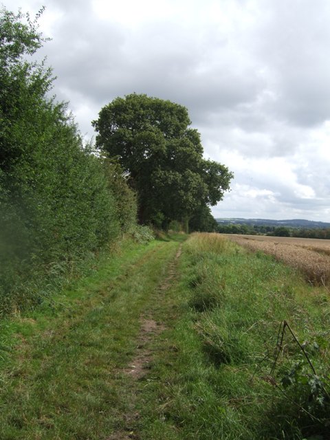
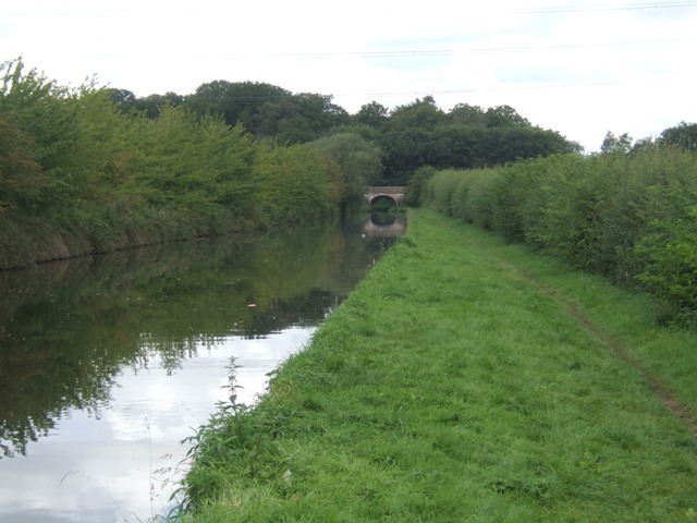
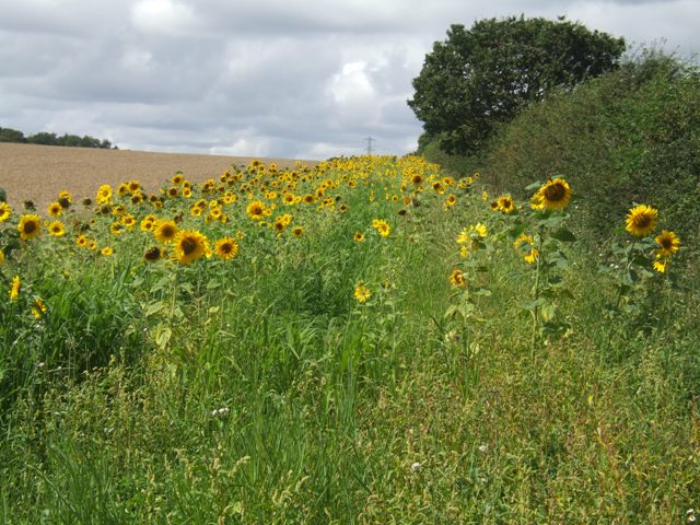
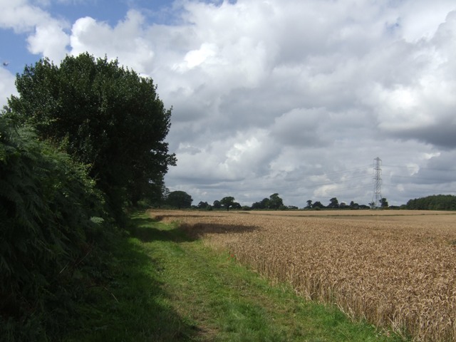
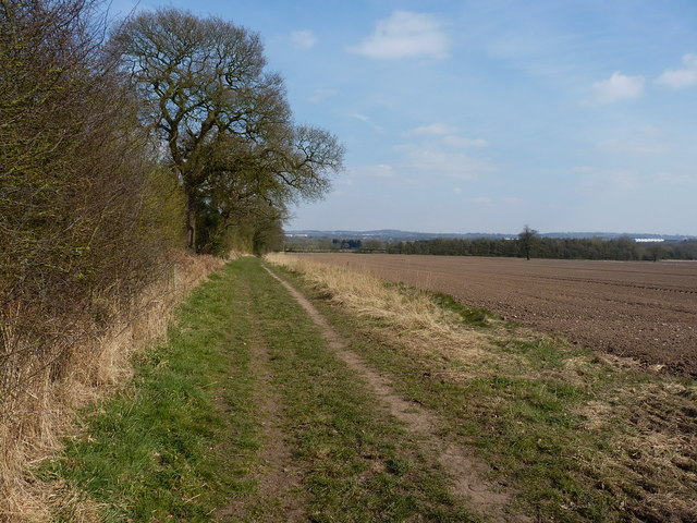
The village is renowned for its lush greenery, with rolling hills and expansive fields stretching as far as the eye can see. Coven Lawn is situated within close proximity to Cannock Chase, an Area of Outstanding Natural Beauty, which further enhances its appeal. The area is blessed with a rich and diverse ecosystem, boasting an abundance of wildlife and a myriad of plant species.

The village itself exudes charm and character, with quaint cottages and well-kept gardens lining the streets. The local community is close-knit and welcoming, contributing to the warm and friendly atmosphere that permeates the area. The village also benefits from a range of amenities, including a village hall, a post office, and a small selection of shops and pubs.

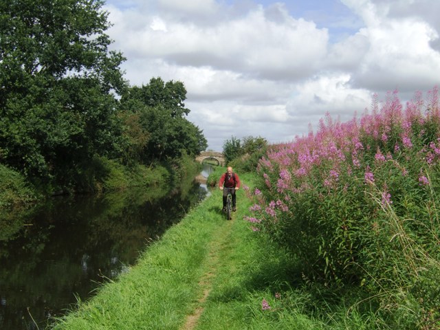
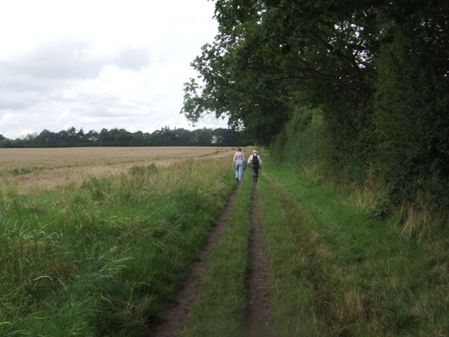
For outdoor enthusiasts, Coven Lawn offers a plethora of activities to enjoy. The Downs and Moorland provide ample opportunities for hiking, cycling, and horseback riding, allowing visitors to immerse themselves in the natural beauty of the surroundings. Additionally, the nearby Cannock Chase Forest offers various recreational pursuits, such as mountain biking and nature trails.

In summary, Coven Lawn is a charming village nestled in the Downs and Moorland of Staffordshire. With its stunning natural landscapes, welcoming community, and range of outdoor activities, this village is an ideal destination for those seeking a peaceful and scenic retreat.

If you have any feedback on the listing, please let us know in the comments section below.
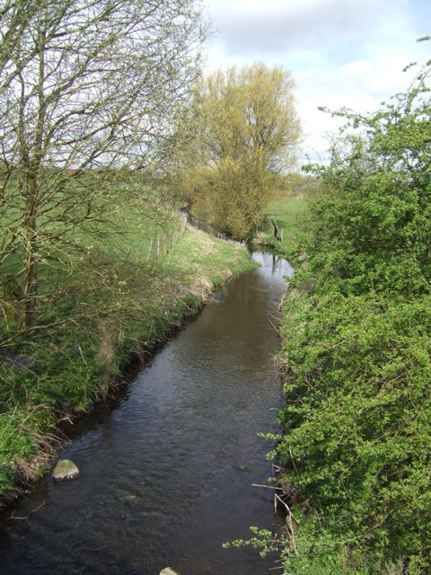
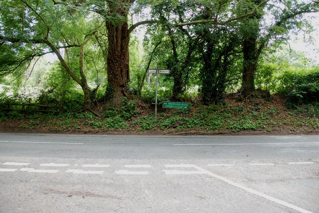
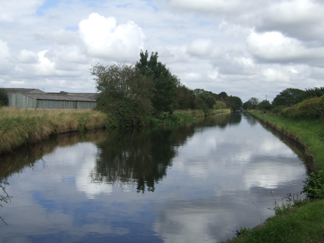
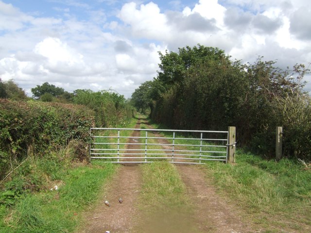
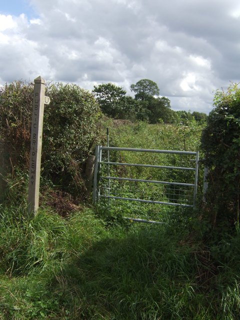
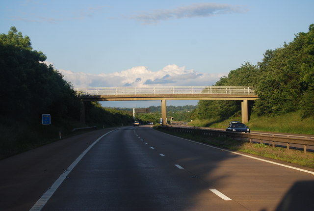
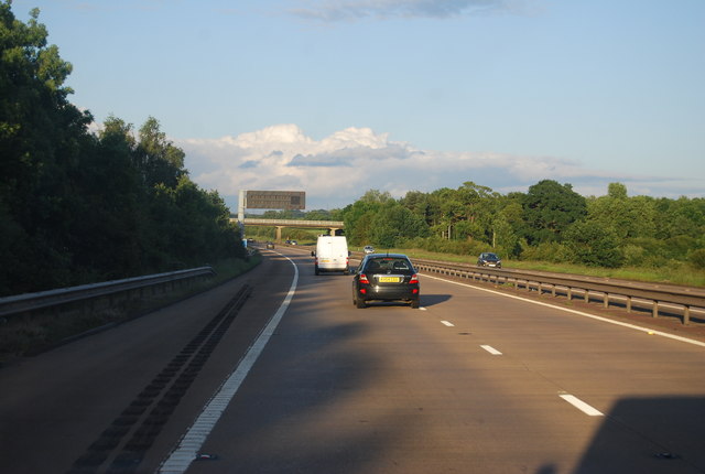
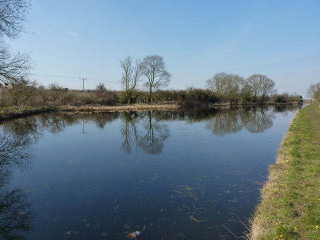
Coven Lawn Images

Images are sourced within 2km of 52.650278/-2.1429359 or Grid Reference SJ9005. Thanks to Geograph Open Source API. All images are credited.

River Penk - downstream at Pendeford Hall Lane
Somerford Lane meets Brewood Road-Coven Road
Shropshire Union towpath near Lower Hattons Bridge The Monarch's Way follows the towpath south to Pendeford Bridge on its way from Boscobel to Moseley Old Hall.
Shropshire Union towpath near Lower Hattons Bridge
The Monarch's Way follows the towpath south to Pendeford Bridge on its way from Boscobel to Moseley Old Hall.
Walkers on the Monarchs Way Between Hunting Bridge and Port Lane.
Walkers on the Monarchs Way
Between Hunting Bridge and Port Lane.
Monarch's Way The path drops down from Port Lane to Hunting Bridge heading for Pendeford Mill.
Monarch's Way
The path drops down from Port Lane to Hunting Bridge heading for Pendeford Mill.
Shropshire Union Canal - View towards Park Bridge
Sunflowers in the field margin
Monarch's Way The footpath drops down from Port Lane to Hunting Bridge.
Monarch's Way
The footpath drops down from Port Lane to Hunting Bridge.
Winding hole north of Lower Hattons Bridge On the Shropshire Union Canal.
Winding hole north of Lower Hattons Bridge
On the Shropshire Union Canal.
Farm lane by the Hattons Permissive footpath and bridleway.
Farm lane by the Hattons
Permissive footpath and bridleway.
Bridleway to Pendeford The overgrown path looked to be too much of a challenge without a machete.
Bridleway to Pendeford
The overgrown path looked to be too much of a challenge without a machete.
M54, farm access bridge The M54 is a 23 mile east-west motorway in Shropshire and Staffordshire. It is a two-lane dual carriageway for the majority of its length, with sections of three-lane.
The M54 spur connects the M6 motorway near Essington, Staffordshire with the A5 trunk road at Wellington, Shropshire. The motorway forms part of the route to North Wales, roughly following the path of the Roman Watling Street and the A5 north-westwards, towards the port of Holyhead.
M54, farm access bridge
The M54 is a 23 mile east-west motorway in Shropshire and Staffordshire. It is a two-lane dual carriageway for the majority of its length, with sections of three-lane. The M54 spur connects the M6 motorway near Essington, Staffordshire with the A5 trunk road at Wellington, Shropshire. The motorway forms part of the route to North Wales, roughly following the path of the Roman Watling Street and the A5 north-westwards, towards the port of Holyhead.
M54 near Ash Coppice The M54 is a 23 mile east-west motorway in Shropshire and Staffordshire. It is a two-lane dual carriageway for the majority of its length, with sections of three-lane.
The M54 spur connects the M6 motorway near Essington, Staffordshire with the A5 trunk road at Wellington, Shropshire. The motorway forms part of the route to North Wales, roughly following the path of the Roman Watling Street and the A5 north-westwards, towards the port of Holyhead.
M54 near Ash Coppice
The M54 is a 23 mile east-west motorway in Shropshire and Staffordshire. It is a two-lane dual carriageway for the majority of its length, with sections of three-lane. The M54 spur connects the M6 motorway near Essington, Staffordshire with the A5 trunk road at Wellington, Shropshire. The motorway forms part of the route to North Wales, roughly following the path of the Roman Watling Street and the A5 north-westwards, towards the port of Holyhead.
The Upper Hattons 'wide' A particularly wide section of the Shroppy canal, just north of the Upper Hattons bridge.
The Upper Hattons 'wide'
A particularly wide section of the Shroppy canal, just north of the Upper Hattons bridge.
Bridleway towards Hunting Bridge
On top of Hunting Bridge The bridleway crosses the Shropshire Union Canal.
On top of Hunting Bridge
The bridleway crosses the Shropshire Union Canal.
The Shroppy north of Hunting Bridge
Between The Hattons and Hunting Bridge Looking north along The Shroppy canal
Between The Hattons and Hunting Bridge
Looking north along The Shroppy canal
Show me another place!

Coven Lawn is located at Grid Ref: SJ9005 (Lat: 52.650278, Lng: -2.1429359)

Administrative County: Staffordshire

District: South Staffordshire

Police Authority: Staffordshire

What 3 Words

///sizes.making.frozen. Near Coven, Staffordshire

Nearby Locations

Coven Lawn Coven Lawn

Related Wikis

Coven, Staffordshire

Coven is a village in the district of South Staffordshire, England, near to the border with Wolverhampton. Together with Brewood it forms part of the...

St Paul's Church, Coven

St Paul's Church, Coven is a Grade II listed parish church in the Church of England in Coven, Staffordshire == History == The church was built in 1857...

Wolverhampton Casuals F.C.

Wolverhampton Casuals Football Club are a football club based in Featherstone, near Wolverhampton, England. Established in 1899, they are currently members...

Brinsford Parkway railway station

Brinsford Parkway is a proposed mainline railway station to the north of Wolverhampton, England. It has yet to be passed and is still in planning stages...

Have you been to Coven Lawn?

Leave your review of Coven Lawn below (or comments, questions and feedback).