Cherry Wood
Wood, Forest in Gloucestershire Forest of Dean
England
Cherry Wood
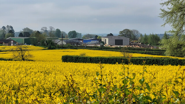
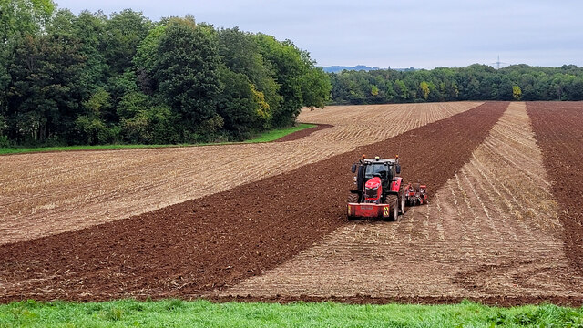
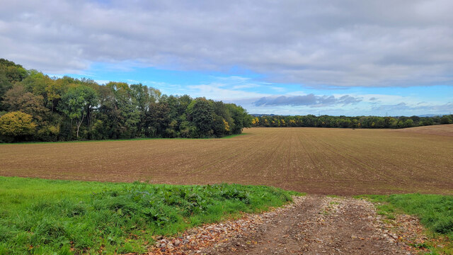
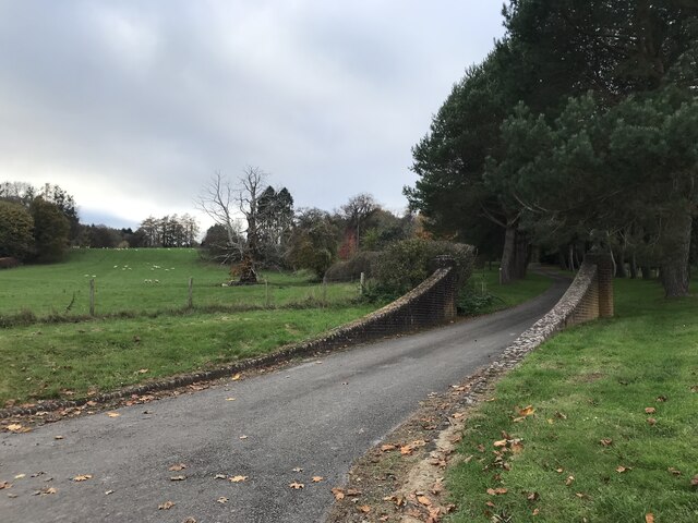
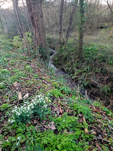
Cherry Wood is a picturesque forest located in the county of Gloucestershire, England. Situated in the heart of the Cotswolds, this woodland area covers a vast expanse of approximately 100 acres. The forest is characterized by its dense cover of cherry trees, which give the wood its name and create a stunning display of vibrant colors during the spring and autumn seasons.
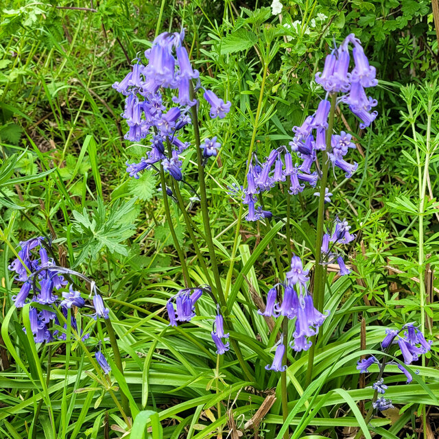
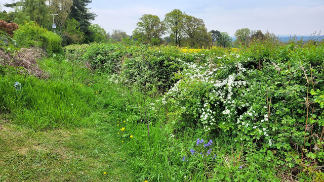
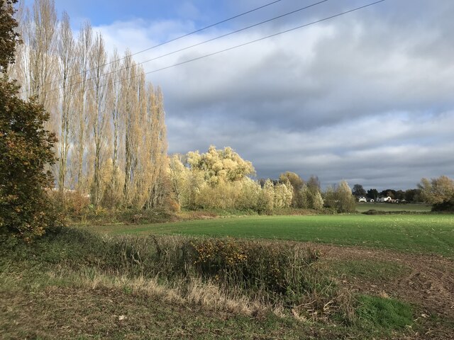
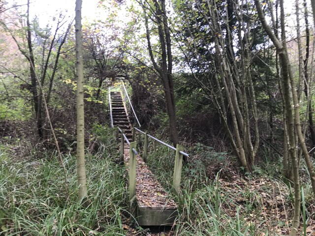
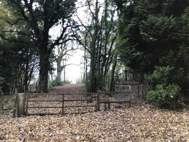
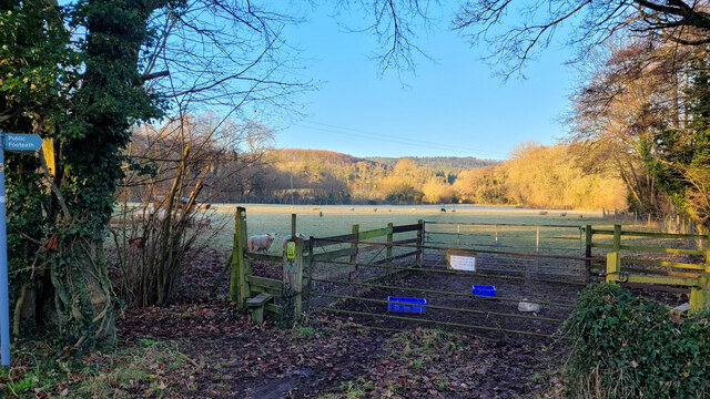
This woodland is a haven for nature enthusiasts and outdoor adventurers alike. Its well-maintained trails offer visitors the opportunity to explore the forest's diverse ecosystem, which includes a wide variety of plant and animal species. The wood is particularly renowned for its rich birdlife, with regular sightings of species such as woodpeckers, thrushes, and owls.
Cherry Wood provides a tranquil retreat for those seeking solace in nature. The peaceful atmosphere, combined with the soothing sounds of birdsong and rustling leaves, make it the perfect place for relaxation and reflection. It is also a popular spot for picnics, with several designated areas offering picturesque views and ample seating.
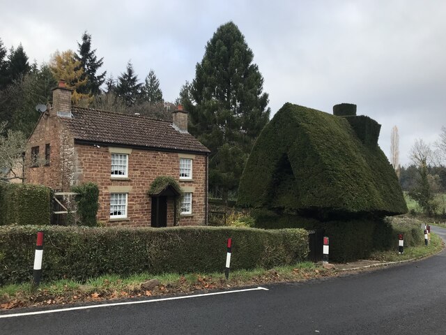
The forest is easily accessible, with a dedicated car park located nearby. There are also public transportation options available, making it convenient for visitors to reach the wood. The local authorities have made efforts to ensure the preservation of Cherry Wood's natural beauty, with conservation programs in place to protect the diverse flora and fauna that call this forest home.
In conclusion, Cherry Wood is a stunning woodland area in Gloucestershire, offering visitors a chance to immerse themselves in nature and enjoy the beauty of the British countryside.
If you have any feedback on the listing, please let us know in the comments section below.
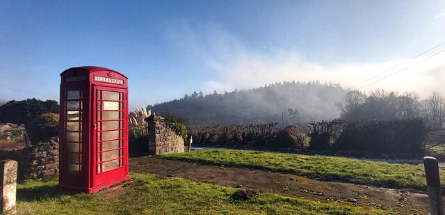
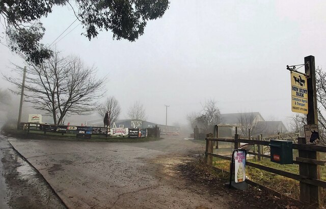
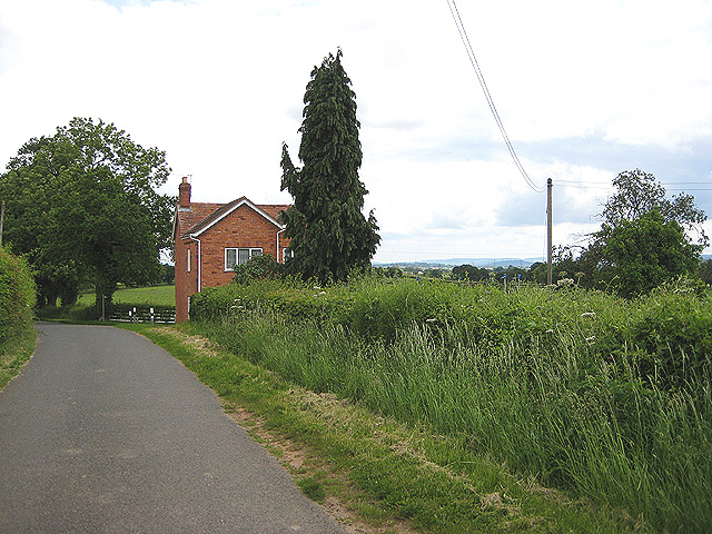
Cherry Wood Images
Images are sourced within 2km of 51.883559/-2.4129249 or Grid Reference SO7120. Thanks to Geograph Open Source API. All images are credited.
Cherry Wood is located at Grid Ref: SO7120 (Lat: 51.883559, Lng: -2.4129249)
Administrative County: Gloucestershire
District: Forest of Dean
Police Authority: Gloucestershire
What 3 Words
///appear.reclaimed.flaking. Near Huntley, Gloucestershire
Nearby Locations
Related Wikis

Taynton, Gloucestershire
Taynton is a village and civil parish in the Forest of Dean district of Gloucestershire, England. It lies about 2.5 miles (4.0 km) south-east of Newent...
Anthony's Cross
Anthony's Cross is a hamlet in Gloucestershire, England. == External links == Media related to Anthony's Cross at Wikimedia Commons

May Hill
May Hill is a prominent English hill between Gloucester and Ross-on-Wye. Its summit, on the western edge of Gloucestershire and its northern slopes in...

Cliffords Mesne
Cliffords Mesne is an English village in Gloucestershire, two miles (3.2 km) south-west of the town of Newent. It became the home of the autobiographical...

Hobbs Quarry SSSI, Longhope
Hobbs Quarry, Longhope (grid reference SO695195) is a 1-hectare (2.5-acre) geological and biological Site of Special Scientific Interest in Gloucestershire...

Huntley, Gloucestershire
Huntley, Gloucestershire, is a village on the A40 located seven miles (11 km) west of Gloucester. It is in the north of the Forest of Dean. == History... ==
The Mount, Nottswood Hill
The Mount, Nottswood Hill, is a grade II listed house near Blaisdon in Gloucestershire. The house is thought to have been rebuilt in the later nineteenth...
Longhope Hill
Longhope Hill (grid reference SO693185) is a 0.2-hectare (0.49-acre) geological Site of Special Scientific Interest in Gloucestershire, notified in 1989...
Nearby Amenities
Located within 500m of 51.883559,-2.4129249Have you been to Cherry Wood?
Leave your review of Cherry Wood below (or comments, questions and feedback).