Castle Hill Wood
Wood, Forest in Gloucestershire Forest of Dean
England
Castle Hill Wood
Castle Hill Wood is a picturesque forest located in the county of Gloucestershire, England. Situated in the heart of the Cotswolds, this wood is known for its enchanting beauty and rich biodiversity. Covering an area of approximately 300 acres, Castle Hill Wood is a haven for nature enthusiasts, offering a peaceful retreat away from the hustle and bustle of urban life.
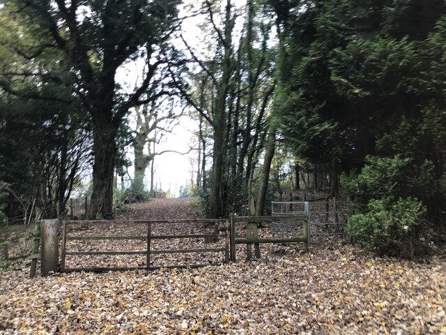
The wood is predominantly composed of broadleaf trees, including oak, beech, and ash. These towering trees create a dense canopy that provides shade and shelter for a plethora of wildlife. Visitors can expect to encounter a diverse range of flora and fauna, such as bluebells, foxgloves, and various species of birds and mammals.
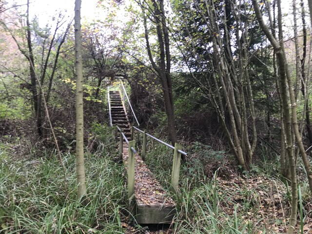
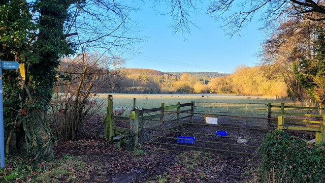
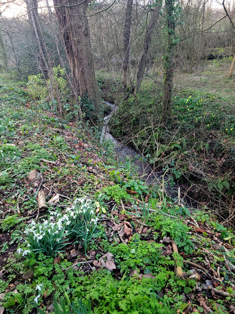
Trails and footpaths wind their way through the wood, allowing visitors to explore its hidden corners and discover its natural wonders. The woodland floor is carpeted with a vibrant layer of mosses, ferns, and wildflowers, creating a magical ambiance.
Castle Hill Wood also holds historical significance, as it is home to the remains of a medieval castle. The castle, believed to have been built in the 12th century, was once a stronghold overlooking the surrounding countryside. Although only ruins remain, the remnants offer a glimpse into the area's past and add an element of intrigue to the wood.
Whether it is for a leisurely stroll, birdwatching, or a peaceful picnic, Castle Hill Wood offers a tranquil escape into nature's embrace. Its idyllic setting and abundant wildlife make it a popular destination for both locals and tourists alike.
If you have any feedback on the listing, please let us know in the comments section below.
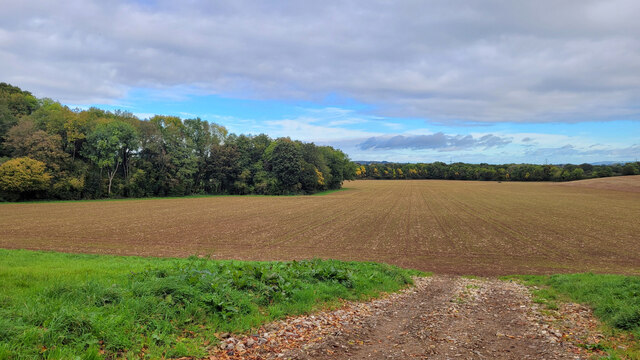
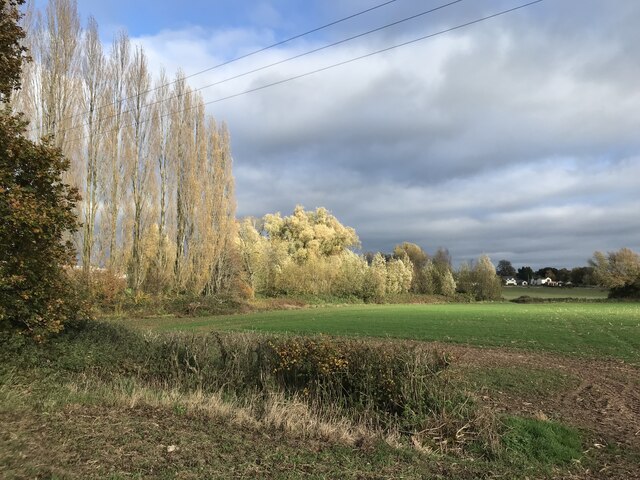
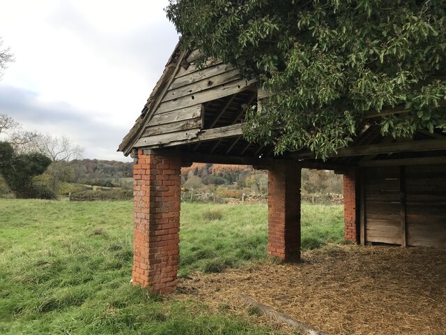
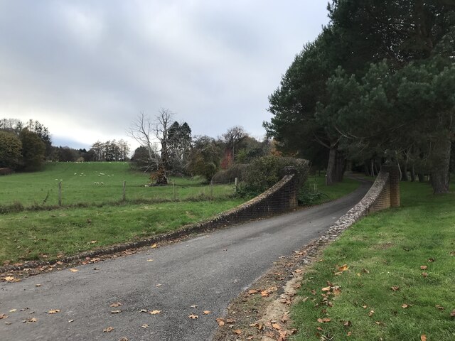
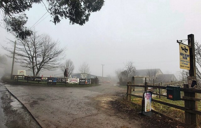
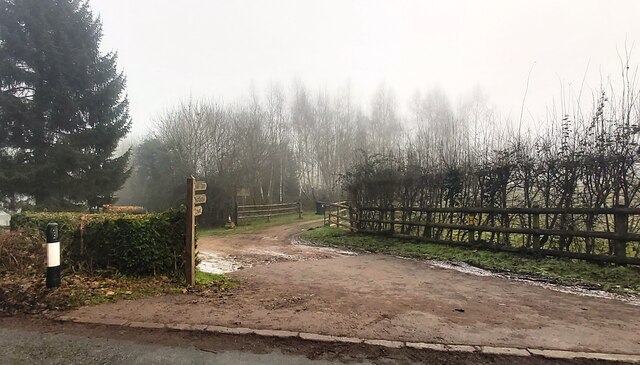
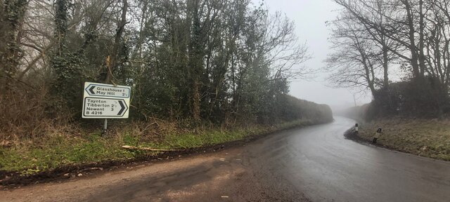
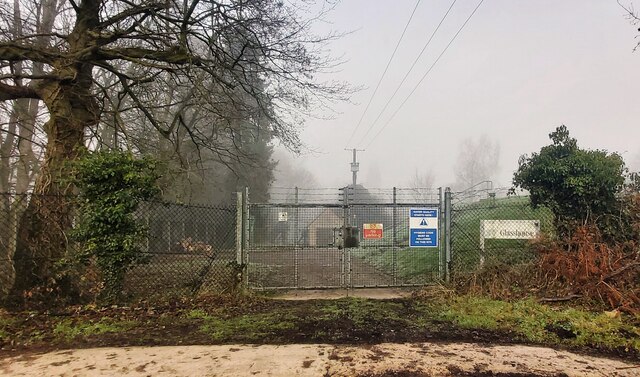
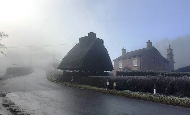
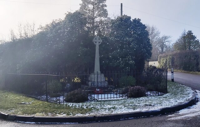
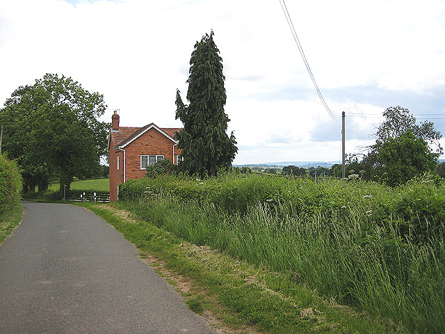
Castle Hill Wood Images
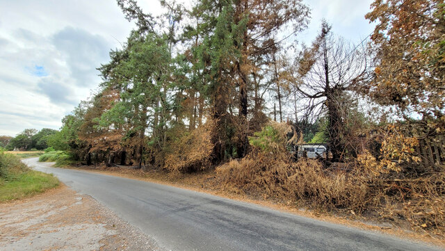
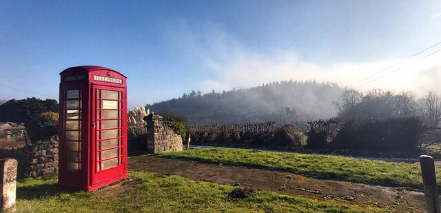
Images are sourced within 2km of 51.886778/-2.4153082 or Grid Reference SO7120. Thanks to Geograph Open Source API. All images are credited.
Castle Hill Wood is located at Grid Ref: SO7120 (Lat: 51.886778, Lng: -2.4153082)
Administrative County: Gloucestershire
District: Forest of Dean
Police Authority: Gloucestershire
What 3 Words
///microchip.shaped.ecologist. Near Huntley, Gloucestershire
Nearby Locations
Related Wikis

Taynton, Gloucestershire
Taynton is a village and civil parish in the Forest of Dean district of Gloucestershire, England. It lies about 2.5 miles (4.0 km) south-east of Newent...
Anthony's Cross
Anthony's Cross is a hamlet in Gloucestershire, England. == External links == Media related to Anthony's Cross at Wikimedia Commons

Cliffords Mesne
Cliffords Mesne is an English village in Gloucestershire, two miles (3.2 km) south-west of the town of Newent. It became the home of the autobiographical...

May Hill
May Hill is a prominent English hill between Gloucester and Ross-on-Wye. Its summit, on the western edge of Gloucestershire and its northern slopes in...
Nearby Amenities
Located within 500m of 51.886778,-2.4153082Have you been to Castle Hill Wood?
Leave your review of Castle Hill Wood below (or comments, questions and feedback).