Dribble Wood
Wood, Forest in Yorkshire Ribble Valley
England
Dribble Wood
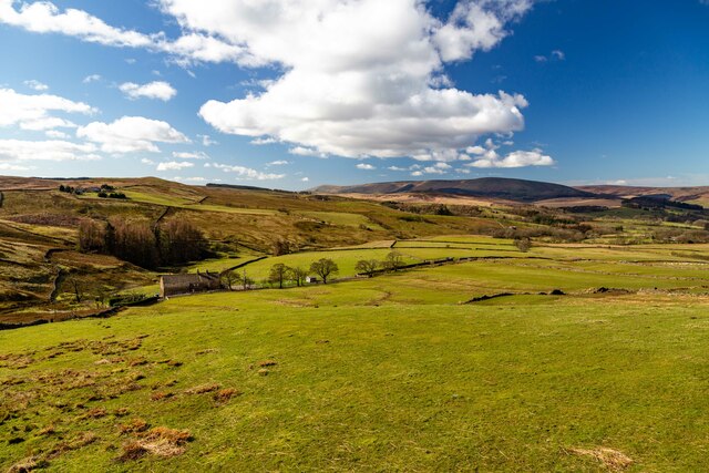
Dribble Wood is a picturesque woodland located in the county of Yorkshire, England. Nestled in the heart of the Yorkshire Dales, this enchanting forest covers an area of approximately 50 acres and is a haven for nature lovers and outdoor enthusiasts alike.
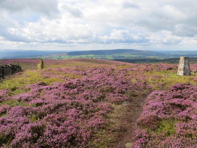
The wood is characterized by its dense canopy of towering oak, beech, and birch trees, which provide a lush and vibrant green cover throughout the year. The forest floor is carpeted with an array of wildflowers, including bluebells, primroses, and foxgloves, creating a stunning display of colors during the spring and summer months.
Dribble Wood boasts a diverse range of wildlife, making it a popular destination for birdwatchers and animal enthusiasts. Visitors may spot various species of birds, such as woodpeckers, owls, and thrushes, along with small mammals like squirrels, rabbits, and hedgehogs. The wood is also home to several species of deer, including roe deer and fallow deer, which can often be seen grazing peacefully in the meadows surrounding the forest.
The woodland offers several walking trails, ranging from gentle strolls to more challenging hikes, allowing visitors to explore its natural beauty at their own pace. As they wander through the ancient trees, visitors can revel in the tranquility and serenity of the surroundings, with only the sounds of birdsong and rustling leaves to accompany them.
Dribble Wood truly encapsulates the beauty of the Yorkshire countryside, offering a peaceful retreat for those seeking solace in nature's embrace.
If you have any feedback on the listing, please let us know in the comments section below.
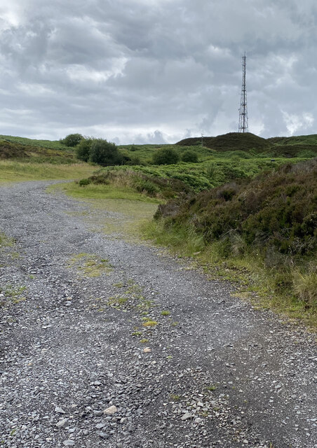
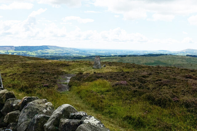
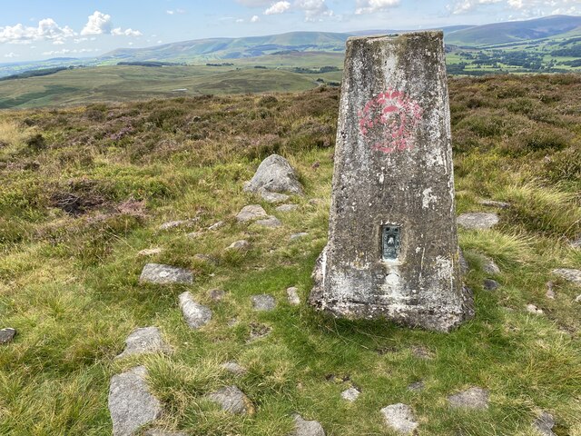
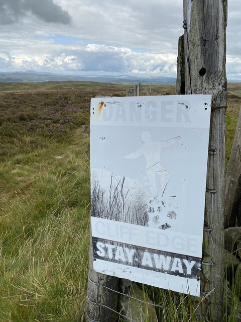
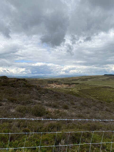
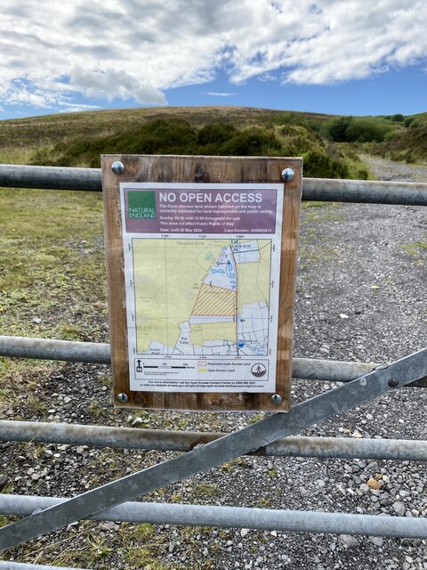
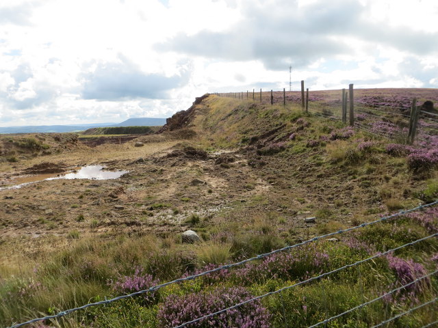
Dribble Wood Images
Images are sourced within 2km of 53.912184/-2.4483024 or Grid Reference SD7046. Thanks to Geograph Open Source API. All images are credited.


Dribble Wood is located at Grid Ref: SD7046 (Lat: 53.912184, Lng: -2.4483024)
Division: West Riding
Administrative County: Lancashire
District: Ribble Valley
Police Authority: Lancashire
What 3 Words
///planet.blog.spud. Near Waddington, Lancashire
Nearby Locations
Related Wikis

Browsholme Hall
Browsholme Hall is a privately owned Tudor house in the parish of Bowland Forest Low in the borough of Ribble Valley, Lancashire (although historically...

Bowland Rural District
Bowland was a rural district in the West Riding of Yorkshire from 1894 to 1974. It was named after the Forest of Bowland, which it included. It was formed...

Bowland Forest Low
Bowland Forest Low is a civil parish in the Ribble Valley district of Lancashire, England, covering some 5,500 acres (22 km2) of the Forest of Bowland...

Bashall Eaves
Bashall Eaves is a village and civil parish in the Ribble Valley district of Lancashire, England, about four miles (6 km) west of Clitheroe. The placename...
Nearby Amenities
Located within 500m of 53.912184,-2.4483024Have you been to Dribble Wood?
Leave your review of Dribble Wood below (or comments, questions and feedback).