Kennel Plantation

Wood, Forest in Gloucestershire

England

Kennel Plantation

Charfield : Doverlea A house with lots of Christmas lights and decorations.
Charfield : Doverlea Credit: Lewis Clarke

Kennel Plantation, located in Gloucestershire, England, is a stunning woodland area known for its natural beauty and serene atmosphere. Covering a vast expanse, the plantation is a popular destination for nature enthusiasts, walkers, and those seeking tranquility amidst a picturesque setting.

The woodland is predominantly composed of various species of trees, including oak, beech, and birch, which create a dense and lush forest environment. This rich biodiversity provides a habitat for a wide range of flora and fauna, making it an ideal location for wildlife spotting and birdwatching.

Visitors to Kennel Plantation can explore its well-maintained trails, which wind through the woods, offering breathtaking views of the surrounding countryside. The pathways are suitable for all levels of walkers, from leisurely strolls to more challenging hikes. Along the way, benches and picnic areas are strategically placed, allowing visitors to take breaks and fully immerse themselves in the tranquil ambiance of the surroundings.

The plantation is open to the public year-round, with each season offering a unique experience. In spring, the forest comes alive with vibrant flowers and blossoming trees, while autumn transforms the woodland into a kaleidoscope of warm hues as the leaves change color.

Kennel Plantation, with its idyllic setting and diverse ecosystem, provides a sanctuary away from the hustle and bustle of everyday life. Whether one seeks solitude, leisurely walks, or an opportunity to connect with nature, this woodland gem in Gloucestershire is a must-visit destination.

If you have any feedback on the listing, please let us know in the comments section below.

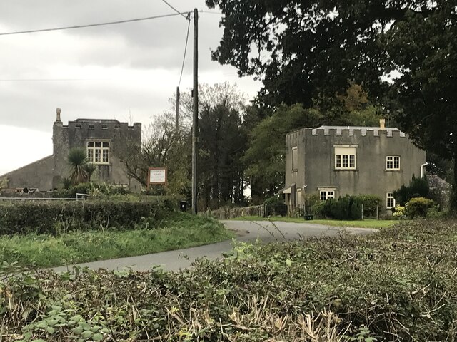
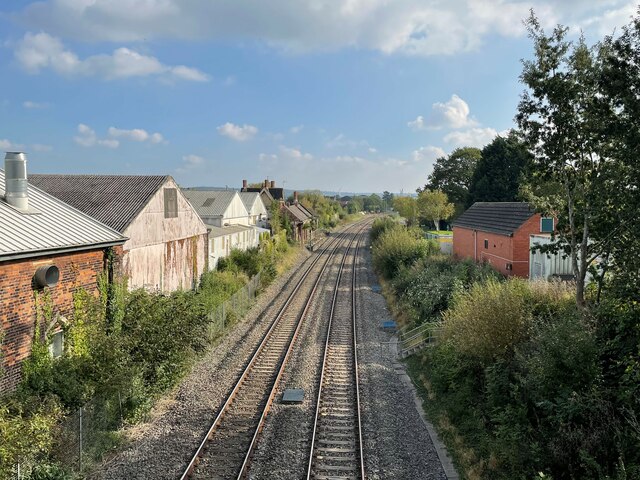
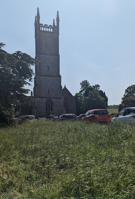
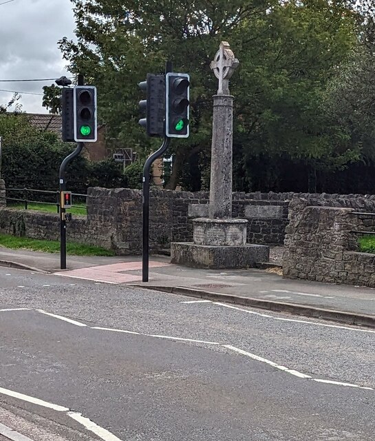
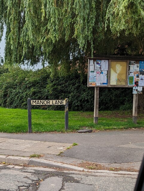
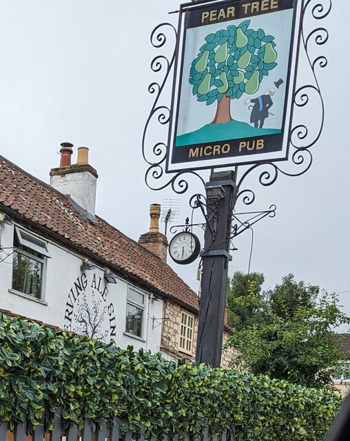
Kennel Plantation Images

Images are sourced within 2km of 51.633309/-2.4255001 or Grid Reference ST7092. Thanks to Geograph Open Source API. All images are credited.

Charfield : Doverlea A house with lots of Christmas lights and decorations.
Charfield : Doverlea
A house with lots of Christmas lights and decorations.
Tortworth lodges
Tortworth lodges
Charfield railway station (site), Gloucestershire Opened in 1844 on what became the Midland Railway's line from Gloucester to Bristol, this station closed in 1965. 
View south towards Wickwar and Bristol. The two parallel platforms have been removed but the station buildings to the left of the line in the middle distance were still extant when this image was taken.
Charfield railway station (site), Gloucestershire
Opened in 1844 on what became the Midland Railway's line from Gloucester to Bristol, this station closed in 1965. View south towards Wickwar and Bristol. The two parallel platforms have been removed but the station buildings to the left of the line in the middle distance were still extant when this image was taken.
Entrance drive to Tortworth Court Hotel
Church tower, Tortworth, South Gloucestershire On the west side of Grade II (Star) Listed St Leonard's Church
in the Church of England Diocese of Gloucester.
Church tower, Tortworth, South Gloucestershire
On the west side of Grade II (Star) Listed St Leonard's Church in the Church of England Diocese of Gloucester.
Charfield - please drive carefully At the western edge of Charfield in South Gloucestershire, the 40mph speed limit drops to 30mph.
Charfield - please drive carefully
At the western edge of Charfield in South Gloucestershire, the 40mph speed limit drops to 30mph.
South side of Charfield Primary School, South Gloucestershire Distinctive building set back from Wotton Road.
<a title="https://www.geograph.org.uk/photo/7554968" href="https://www.geograph.org.uk/photo/7554968">Link</a> to a closer view of the nameboard.
South side of Charfield Primary School, South Gloucestershire
Distinctive building set back from Wotton Road. Link to a closer view of the nameboard.
Charfield Primary School nameboard, South Gloucestershire In July 2023 the board located here <a title="https://www.geograph.org.uk/photo/7554963" href="https://www.geograph.org.uk/photo/7554963">Link</a> shows that the school's motto is "Working Together .. Learning for Life"
Charfield Primary School nameboard, South Gloucestershire
In July 2023 the board located here Link shows that the school's motto is "Working Together .. Learning for Life"
North side of St John the Evangelist, Charfield, South Gloucestershire Grade II Listed Parish Church in the Church of England Diocese of Gloucester.
A cockerel weathervane is on top of the spire.
North side of St John the Evangelist, Charfield, South Gloucestershire
Grade II Listed Parish Church in the Church of England Diocese of Gloucester. A cockerel weathervane is on top of the spire.
Parish Church nameboard, Charfield, South Gloucestershire Located here <a title="https://www.geograph.org.uk/photo/7555043" href="https://www.geograph.org.uk/photo/7555043">Link</a> outside  St John the Evangelist church.
Parish Church nameboard, Charfield, South Gloucestershire
Located here Link outside St John the Evangelist church.
Pelican crossing, Wotton Road, Charfield, South Gloucestershire Chambers Dictionary states that pelican in this context is adapted from "pedestrian light controlled crossing".
Pelican crossing, Wotton Road, Charfield, South Gloucestershire
Chambers Dictionary states that pelican in this context is adapted from "pedestrian light controlled crossing".
Charfield War Memorial, South Gloucestershire  Viewed across Wotton Road. The Grade II Listed Portland stone War Memorial dates from 1920.
Charfield War Memorial, South Gloucestershire
Viewed across Wotton Road. The Grade II Listed Portland stone War Memorial dates from 1920.
Noticeboards under a weeping willow, Manor Lane, Charfield Near the corner of Wotton Road in Charfield, South Gloucestershire.
Noticeboards under a weeping willow, Manor Lane, Charfield
Near the corner of Wotton Road in Charfield, South Gloucestershire.
Dark green cabinets on a Charfield corner Two telecoms cabinets on the corner of Manor Lane 
and Wotton Road in Charfield, South Gloucestershire.
Dark green cabinets on a Charfield corner
Two telecoms cabinets on the corner of Manor Lane and Wotton Road in Charfield, South Gloucestershire.
Pear Tree Micro Pub name sign, Charfield, South Gloucestershire Viewed in July 2023. The sign has replaced this one <a title="https://www.geograph.org.uk/photo/3202182" href="https://www.geograph.org.uk/photo/3202182">Link</a> photographed in 2012 before the Pear Tree was a micro pub.
Pear Tree Micro Pub name sign, Charfield, South Gloucestershire
Viewed in July 2023. The sign has replaced this one Link photographed in 2012 before the Pear Tree was a micro pub.
SERVING ALE SINCE 1715, Charfield, South Gloucestershire On the wall of the Pear Tree Micro Pub in 2023.
SERVING ALE SINCE 1715, Charfield, South Gloucestershire
On the wall of the Pear Tree Micro Pub in 2023.
Welcome to CROMHALL -  Please drive carefully The 50mph speed limit on the B4058 Bristol Road in South Gloucestershire here drops to 30mph.
Welcome to CROMHALL - Please drive carefully
The 50mph speed limit on the B4058 Bristol Road in South Gloucestershire here drops to 30mph.
The Plough name sign, Wotton Road, Charfield, South Gloucestershire In July 2023 the sign shows that the Plough is a micro pub.
The Plough name sign, Wotton Road, Charfield, South Gloucestershire
In July 2023 the sign shows that the Plough is a micro pub.
Show me another place!

Kennel Plantation is located at Grid Ref: ST7092 (Lat: 51.633309, Lng: -2.4255001)

Unitary Authority: South Gloucestershire

Police Authority: Avon and Somerset

What 3 Words

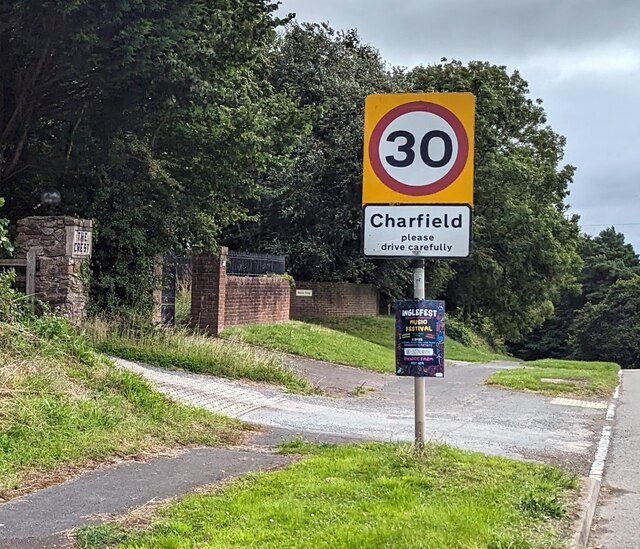
///piano.streak.beep. Near Charfield, Gloucestershire

Related Wikis

Tortworth

Tortworth is a small village and civil parish, near Thornbury in Gloucestershire, England. It has a population of 147 as of 2011. It lies on the B4509...

Tortworth Court

Tortworth Court is a Victorian mansion in Tortworth near Thornbury, South Gloucestershire. England. It was built in Tudor style for the 2nd Earl of Ducie...

HM Prison Leyhill

HM Prison Leyhill is a Category D men's prison located in the parish of Tortworth in Gloucestershire, England. His Majesty's Prison Service operates Leyhill...

Slickstones Quarry, Cromhall

Slickstones Quarry, Cromhall (grid reference ST704916) is a 2.7 hectare geological Site of Special Scientific Interest near the village of Cromhall, South...

Cullimore's Quarry

Cullimore's Quarry (grid reference ST721927) is a 0.9 hectare geological Site of Special Scientific Interest near the village of Charfield, South Gloucestershire...

Damery Road Section

Damery Road Section (grid reference ST705943) is a 0.5-hectare (1.2-acre) geological Site of Special Scientific Interest north of Tortworth, South Gloucestershire...

Charfield

Charfield is a village and civil parish in Gloucestershire, England, south-west of Wotton-under-Edge near the Little Avon River and the villages of Falfield...

Charfield railway disaster

The Charfield railway disaster was a fatal train crash which occurred on 13 October 1928 in the village of Charfield in the English county of Gloucestershire...

Nearby Amenities

Located within 500m of 51.633309,-2.4255001
Bus Stop
Lat/Long: 51.6324993/-2.4303747
Post Box
Operator: Royal Mail
Post Box Type: wall
Ref: GL12 144
Source Ref: survey
Lat/Long: 51.6330235/-2.4315548
Bus Stop
Tortworth Green
Naptan AtcoCode: 0170SGB20745
Naptan Bearing: S
Naptan CommonName: Tortworth Green
Naptan NaptanCode: sglmjta
Naptan Street: N/A
Naptan Verified: no
Source: naptan_import
Lat/Long: 51.6325155/-2.4301905
Bus Stop
Tortworth Green
Naptan AtcoCode: 0170SGB20746
Naptan Bearing: N
Naptan CommonName: Tortworth Green
Naptan NaptanCode: sglmjmt
Naptan Street: N/A
Naptan Verified: no
Source: naptan_import
Lat/Long: 51.6327195/-2.4309438
Bus Stop
Elmtree Farm
Naptan AtcoCode: 0170SGB20747
Naptan Bearing: SE
Naptan CommonName: Elmtree Farm
Naptan NaptanCode: sglmpgw
Naptan Street: B4509
Naptan Verified: no
Source: naptan_import
Lat/Long: 51.6299181/-2.4229077
Bus Stop
Elmtree Farm
Naptan AtcoCode: 0170SGB20748
Naptan Bearing: NW
Naptan CommonName: Elmtree Farm
Naptan NaptanCode: sglmpja
Naptan Street: B4509
Naptan Verified: no
Source: naptan_import
Lat/Long: 51.6296474/-2.4223573
Bus Stop
Leyhill Road
Naptan AtcoCode: 0170SGX38439
Naptan Bearing: W
Naptan CommonName: Leyhill Road
Naptan NaptanCode: sglmjmp
Naptan Street: N/A
Naptan Verified: no
Source: naptan_import
Lat/Long: 51.6324604/-2.4309735
Power: pole
Source: Bing
Lat/Long: 51.6319566/-2.4300346
Power: pole
Source: Bing
Lat/Long: 51.632014/-2.431074
Power: pole
Source: Bing
Lat/Long: 51.6320702/-2.4321358
Power: pole
Source: Bing
Lat/Long: 51.6322249/-2.4297013
Power: pole
Source: Bing
Lat/Long: 51.6328049/-2.4289363
Power: pole
Source: Bing
Lat/Long: 51.6295637/-2.4279598
Power: pole
Source: Bing
Lat/Long: 51.6301363/-2.4284576
Power: pole
Source: Bing
Lat/Long: 51.6307193/-2.4289619
Power: pole
Source: Bing
Lat/Long: 51.6313368/-2.4294999
Power: pole
Source: Bing
Lat/Long: 51.6335257/-2.4279966
Power: pole
Source: Bing
Lat/Long: 51.6312807/-2.4201663
Power: pole
Source: Bing
Lat/Long: 51.6320745/-2.4208396
Power: pole
Source: Bing
Lat/Long: 51.63279/-2.4214695
Power: pole
Source: Bing
Lat/Long: 51.6335785/-2.4221924
Power: pole
Source: Bing
Lat/Long: 51.6345128/-2.4230084
Power: pole
Source: Bing
Lat/Long: 51.6353899/-2.4237429
Power: pole
Source: Bing
Lat/Long: 51.6361168/-2.424352
Power: pole
Source: Bing
Lat/Long: 51.6368793/-2.4249601
Power: pole
Source: Bing
Lat/Long: 51.6375079/-2.4255466
Give Way
Direction: forward
Lat/Long: 51.6325959/-2.43068
Give Way
Direction: backward
Lat/Long: 51.6326678/-2.4305861
Power: pole
Lat/Long: 51.6290096/-2.4272535
Bicycle Parking
Capacity: 9
Lat/Long: 51.6347752/-2.4284446
Old Lodge Farm
Place: isolated_dwelling
Lat/Long: 51.6348675/-2.4278782
The data included in this document is from www.openstreetmap.org. The data is made available under ODbL.

Have you been to Kennel Plantation?

Leave your review of Kennel Plantation below (or comments, questions and feedback).