Pink Wood
Wood, Forest in Somerset South Somerset
England
Pink Wood
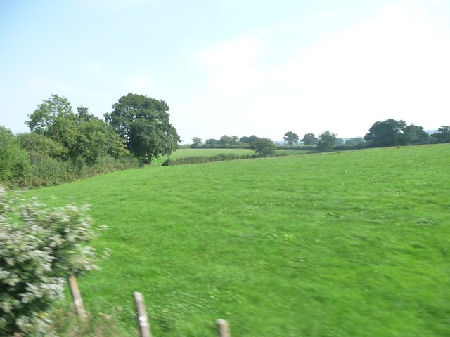
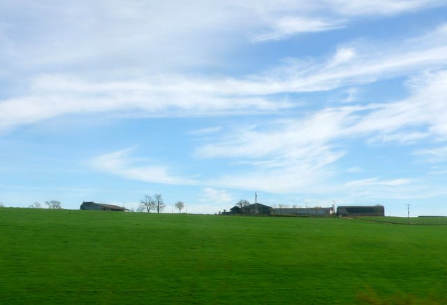
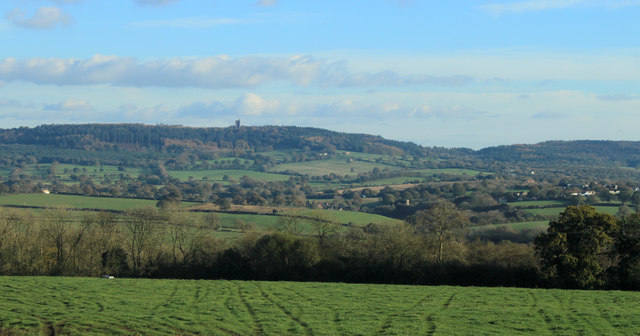
Pink Wood is a picturesque forest located in Somerset, England. Nestled in the rolling hills of the county, this woodland area spans approximately 50 acres and is a popular destination for nature enthusiasts and walkers alike.
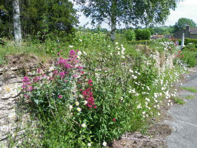
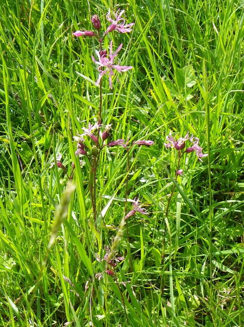
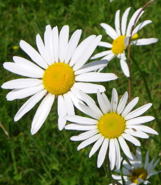
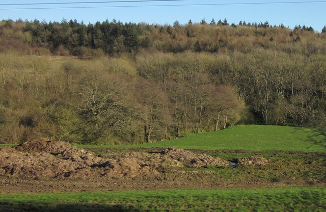
The name Pink Wood originates from the abundance of pink wildflowers that bloom during the spring months, creating a stunning and vibrant display. The forest is predominantly composed of native deciduous trees, including oak, beech, and ash, which provide a rich habitat for various wildlife species.
As visitors venture into Pink Wood, they are greeted with a network of well-maintained trails that wind through the forest, allowing for easy exploration of the area. These paths are suitable for all levels of fitness and offer breathtaking views of the surrounding countryside.
The forest is a haven for birdwatchers, as it is home to a diverse range of avian species. Birdsong can be heard throughout the forest, adding to the tranquil atmosphere. It is not uncommon to spot woodpeckers, owls, and various songbirds while walking through Pink Wood.
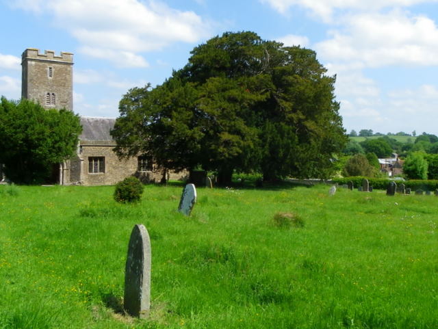
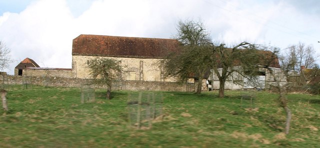
In addition to its natural beauty, Pink Wood also holds historical significance. It is believed that the forest has been in existence for centuries, dating back to medieval times. The remnants of an old stone wall can still be found within the woodland, providing a glimpse into its past.
Overall, Pink Wood offers visitors a tranquil escape into nature, with its stunning wildflowers, diverse wildlife, and rich history. Whether one is seeking a peaceful walk or an opportunity to connect with the natural world, Pink Wood is a must-visit destination in Somerset.
If you have any feedback on the listing, please let us know in the comments section below.
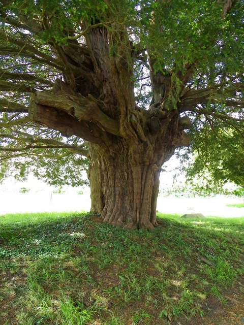
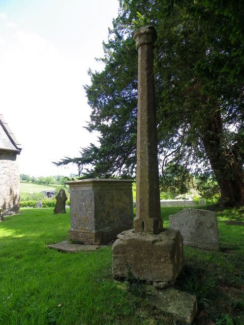
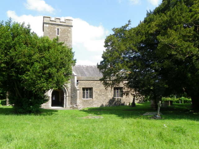
Pink Wood Images
Images are sourced within 2km of 51.132955/-2.4210255 or Grid Reference ST7037. Thanks to Geograph Open Source API. All images are credited.

Pink Wood is located at Grid Ref: ST7037 (Lat: 51.132955, Lng: -2.4210255)
Administrative County: Somerset
District: South Somerset
Police Authority: Avon and Somerset
What 3 Words
///crowds.quiz.converged. Near Bruton, Somerset
Nearby Locations
Related Wikis

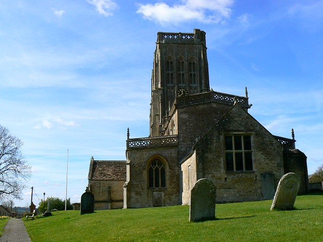
Brewham
Brewham is a civil parish in Somerset, England, consisting of the villages of North Brewham and South Brewham, on either side of the river in the Brue...

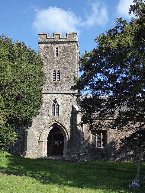
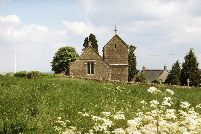
Church of Saint John the Baptist, South Brewham
The Anglican Church of Saint John the Baptist in South Brewham, within the English county of Somerset, has 13th-century origins, however the current building...
Upton Noble
Upton Noble is a village and civil parish on the River Frome. It is roughly 4.5 miles (7 km) north-east of Bruton, and 7 miles (11 km) from Frome town...
Batcombe, Somerset
Batcombe is a village and civil parish in Somerset, England, situated in the steep valley of the River Alham 5 miles (8 km) south-east of Shepton Mallet...
Nearby Amenities
Located within 500m of 51.132955,-2.4210255Have you been to Pink Wood?
Leave your review of Pink Wood below (or comments, questions and feedback).