Bradleyfield Coppice
Wood, Forest in Herefordshire
England
Bradleyfield Coppice

Bradleyfield Coppice is a picturesque woodland located in Herefordshire, England. Covering an area of approximately 50 acres, this ancient forest is renowned for its natural beauty and rich biodiversity. The woodland is characterized by a mix of deciduous and evergreen trees, including oak, beech, ash, and yew, creating a diverse and vibrant ecosystem.
The coppice has a long history, dating back several centuries. It was traditionally managed for wood production, specifically for timber and firewood. Today, it serves as a recreational area for locals and visitors alike, offering peaceful walks and a chance to connect with nature.
The forest floor is carpeted with a variety of wildflowers, ferns, and mosses, providing a habitat for a wide range of animals and insects. Visitors may be lucky enough to spot native species such as deer, foxes, badgers, and various bird species, including woodpeckers and owls.
Bradleyfield Coppice is a haven for nature enthusiasts and photographers who seek to capture the beauty of the woodland. The changing seasons bring a kaleidoscope of colors, from vibrant greens in spring and summer to golden hues in autumn. In winter, the snow-covered trees create a magical atmosphere.
Managed by local conservation organizations, the coppice is carefully preserved to maintain its ecological balance. It offers educational opportunities, hosting guided walks and workshops to raise awareness about the importance of woodland conservation.
Overall, Bradleyfield Coppice is a hidden gem in Herefordshire, offering a peaceful retreat and a chance to experience the wonders of nature firsthand.
If you have any feedback on the listing, please let us know in the comments section below.
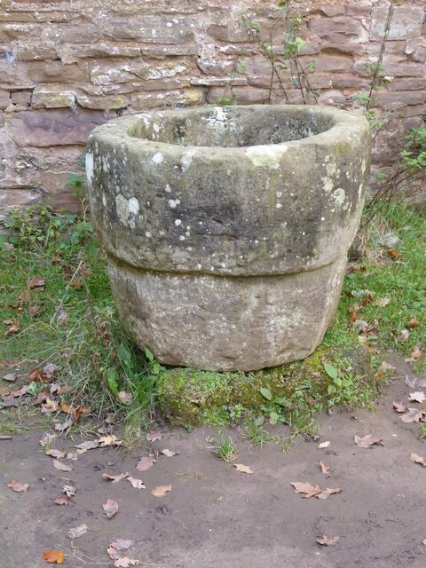
Bradleyfield Coppice Images
Images are sourced within 2km of 52.202107/-2.4308414 or Grid Reference SO7056. Thanks to Geograph Open Source API. All images are credited.


Bradleyfield Coppice is located at Grid Ref: SO7056 (Lat: 52.202107, Lng: -2.4308414)
Unitary Authority: County of Herefordshire
Police Authority: West Mercia
What 3 Words
///downhill.befitting.prompting. Near Bromyard, Herefordshire
Nearby Locations
Related Wikis
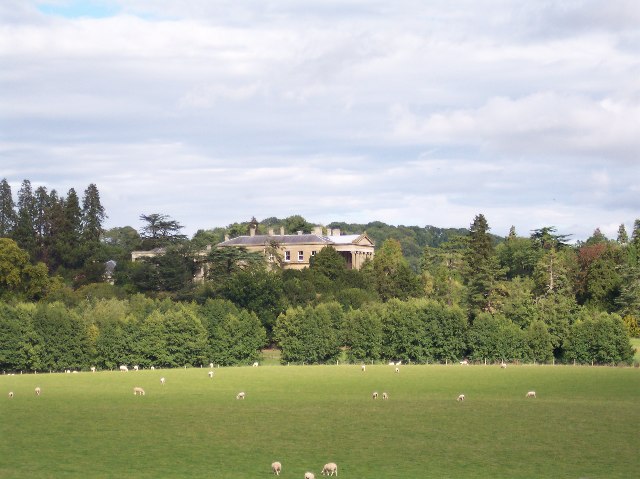
Whitbourne Hall
Whitbourne Hall is a Grade II* listed Greek Revival country house located in the village of Whitbourne in Herefordshire (near the Worcestershire border...

Bringsty Common
Bringsty Common is a scattered settlement and 220 acres (89 ha) of common land in Herefordshire, England, spanning the A44. It lies close to the Worcestershire...

Whitbourne, Herefordshire
Whitbourne (Anglo-Saxon for "white stream") is a village in Eastern Herefordshire, England on the banks of the River Teme and close to the A44. It is close...
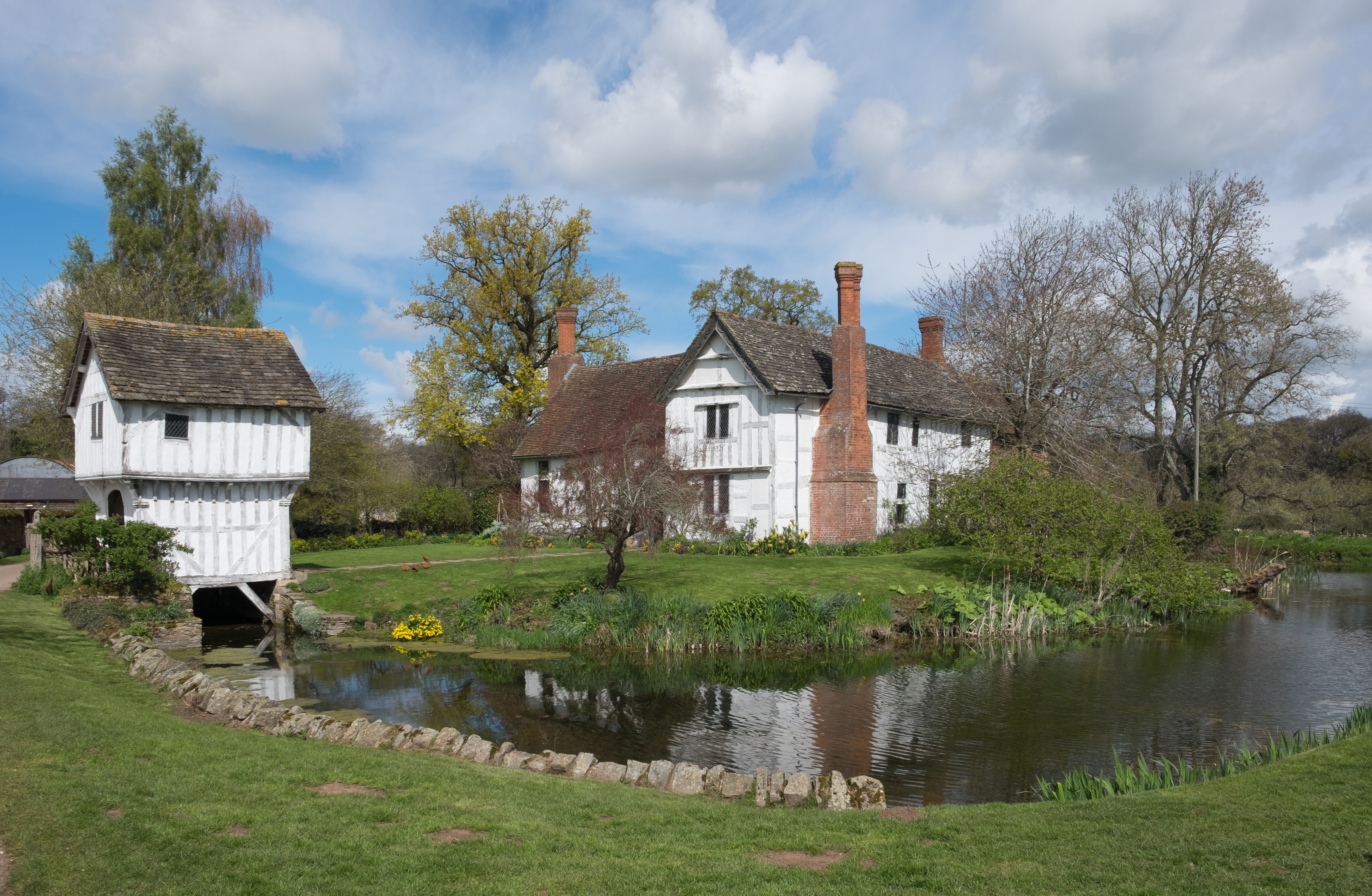
Brockhampton Estate
The Brockhampton Estate is a National Trust property in Herefordshire, England, and is to the north of the A44 Bromyard to Worcester road, opposite the...
Nearby Amenities
Located within 500m of 52.202107,-2.4308414Have you been to Bradleyfield Coppice?
Leave your review of Bradleyfield Coppice below (or comments, questions and feedback).