Ramsclough Wood
Wood, Forest in Yorkshire Ribble Valley
England
Ramsclough Wood
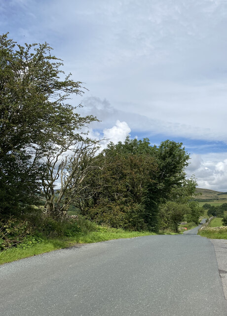
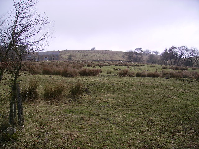
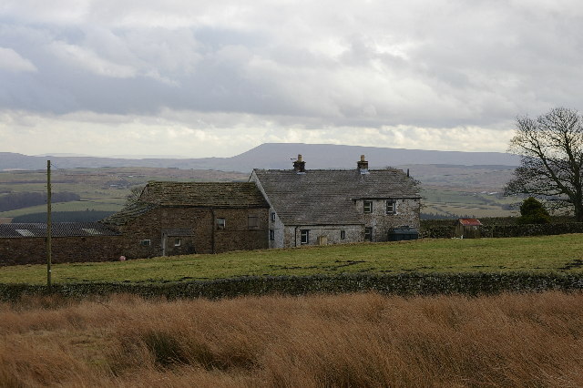
Ramsclough Wood is a picturesque forest located in the county of Yorkshire, England. Covering an area of approximately 100 acres, this woodland is renowned for its natural beauty and diverse ecosystem. Situated on the outskirts of a small rural village, it offers a tranquil escape from the hustle and bustle of city life.
The wood is primarily composed of deciduous trees, including oak, ash, and beech, which create a dense canopy that provides shade and shelter for a variety of wildlife. It is also home to a rich assortment of flora, such as bluebells, wood anemones, and wild garlic, which add a vibrant splash of color during the spring months.
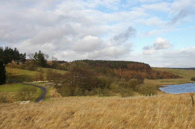
A network of well-maintained footpaths and trails winds through Ramsclough Wood, making it an ideal destination for walking enthusiasts and nature lovers. These paths offer stunning vistas of the surrounding countryside, with glimpses of rolling hills, open fields, and meandering streams. Along the way, visitors may encounter an array of wildlife, including deer, squirrels, and a variety of bird species.
Ramsclough Wood is a popular destination for outdoor activities such as picnicking and birdwatching. It also serves as an educational resource, with guided nature walks and talks organized by local conservation groups. Visitors are encouraged to respect the natural environment and follow the designated paths to minimize any negative impact on the delicate ecosystem.
Overall, Ramsclough Wood in Yorkshire is a delightful destination that offers a peaceful retreat, breathtaking scenery, and an opportunity to connect with nature.
If you have any feedback on the listing, please let us know in the comments section below.
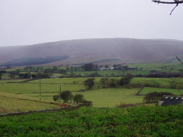
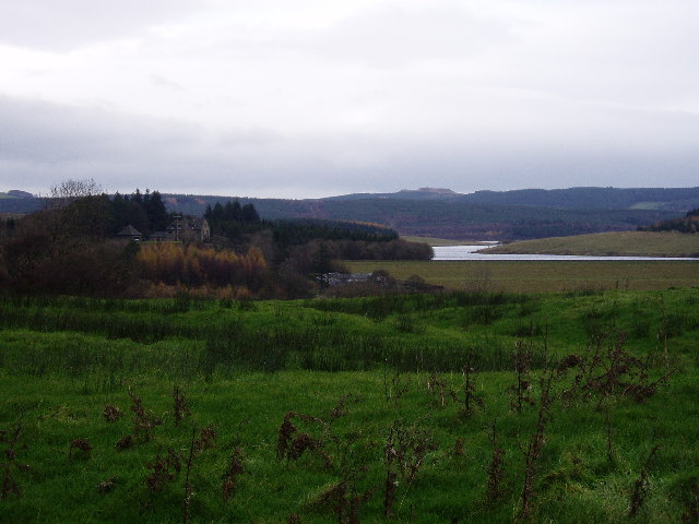
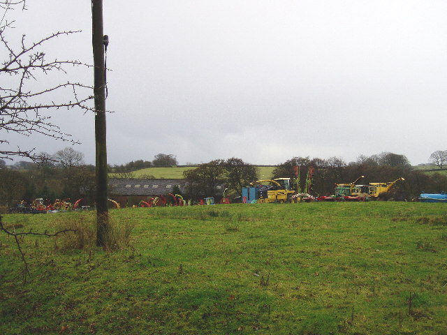
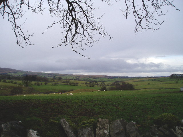
Ramsclough Wood Images
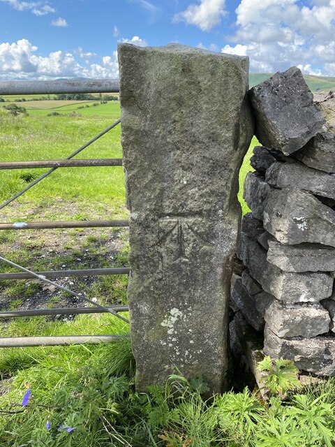
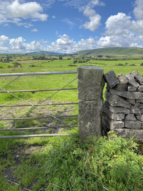
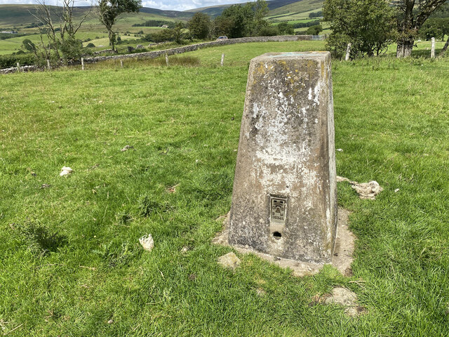
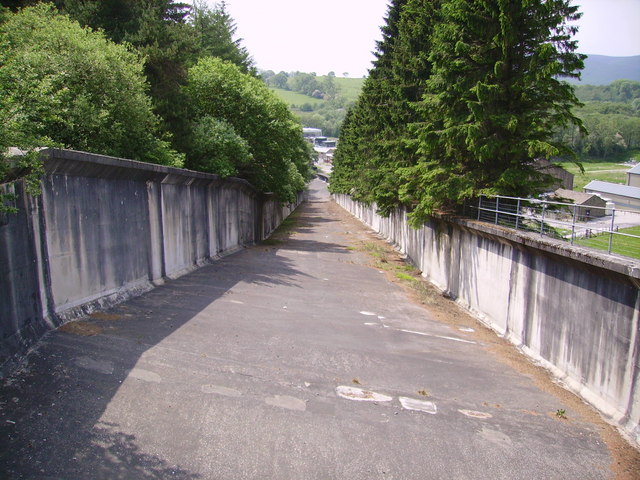
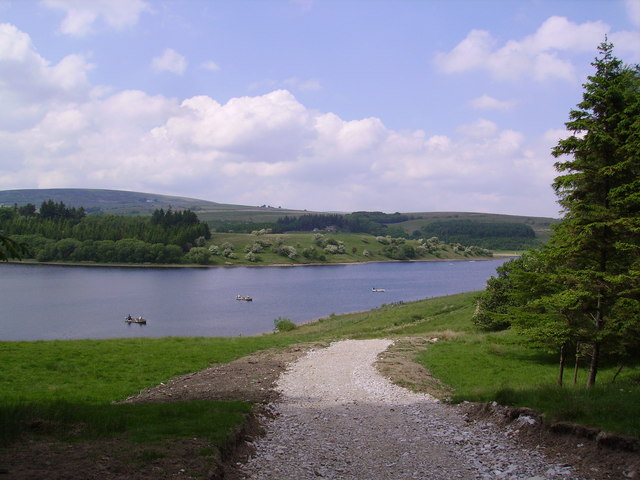
Images are sourced within 2km of 53.989751/-2.4571274 or Grid Reference SD7054. Thanks to Geograph Open Source API. All images are credited.
Ramsclough Wood is located at Grid Ref: SD7054 (Lat: 53.989751, Lng: -2.4571274)
Division: West Riding
Administrative County: Lancashire
District: Ribble Valley
Police Authority: Lancashire
What 3 Words
///according.finest.loser. Near Waddington, Lancashire
Nearby Locations
Related Wikis

Lancashire Witches Walk
The Lancashire Witches Walk is a 51-mile (82 km) long-distance footpath opened in 2012, between Barrowford and Lancaster, all in Lancashire, England. It...

King's House, Slaidburn
King's House is a Grade II listed building in Slaidburn, Lancashire, England, now used as a youth hostel. It was originally built in the 18th century,...

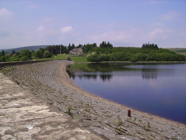
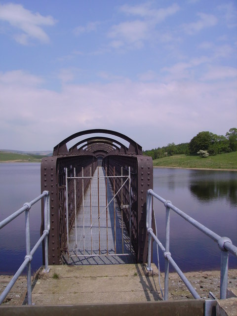
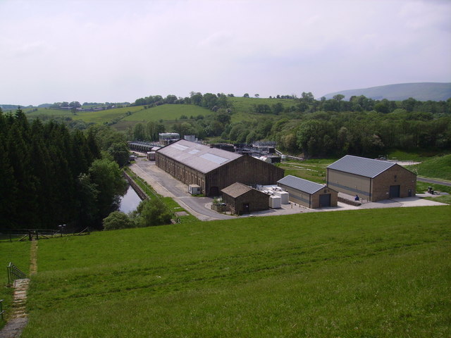
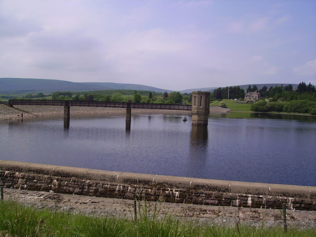
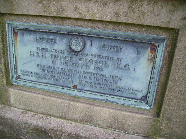
Stocks Reservoir
Stocks Reservoir is a reservoir situated at the head of the Hodder valley in the Forest of Bowland, Lancashire, England (historically in the West Riding...

Slaidburn
Slaidburn () is a village and civil parish within the Ribble Valley district of Lancashire, England. The parish covers just over 5,000 acres of the Forest...
Nearby Amenities
Located within 500m of 53.989751,-2.4571274Have you been to Ramsclough Wood?
Leave your review of Ramsclough Wood below (or comments, questions and feedback).