Midgram Wood
Wood, Forest in Yorkshire Ribble Valley
England
Midgram Wood
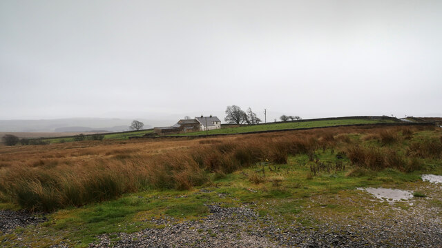
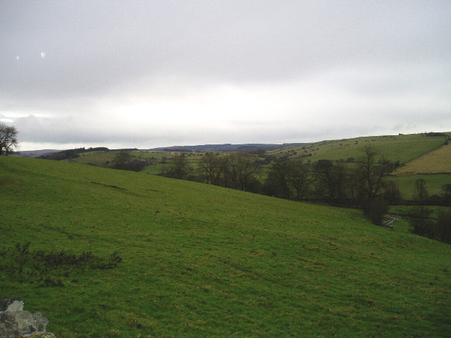
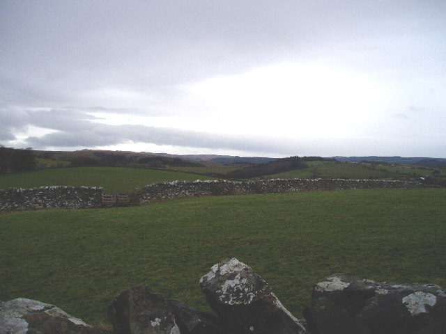
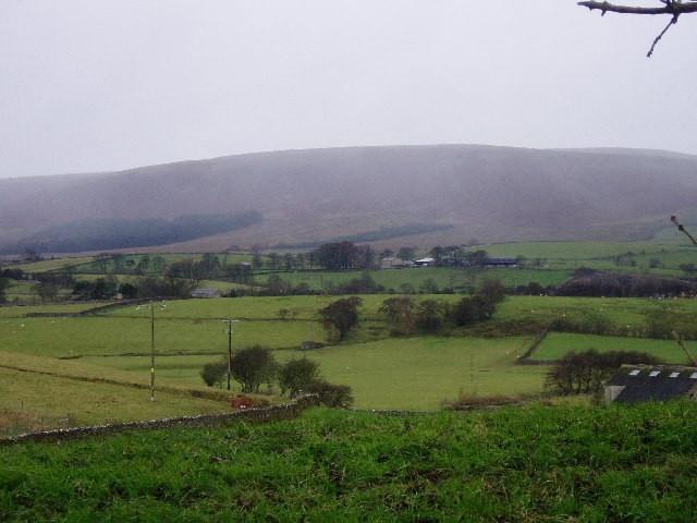
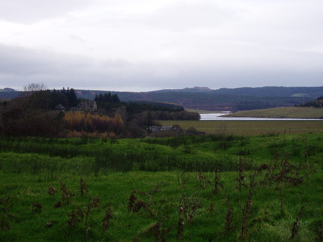
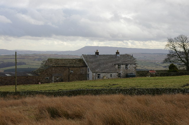
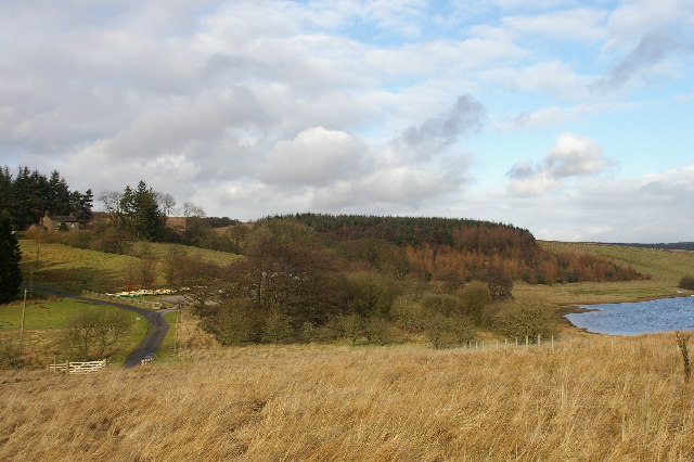
Midgram Wood is a picturesque forest located in the region of Yorkshire, England. Spanning across a vast area of land, this woodland is renowned for its natural beauty and rich biodiversity. The wood is situated in close proximity to the village of Midgram, hence its name.
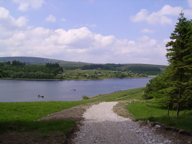
Covered in a dense canopy of trees, Midgram Wood is predominantly composed of native species such as oak, beech, and birch. These towering trees create a serene and tranquil environment, offering shade and shelter to various flora and fauna. The forest floor is adorned with a carpet of wildflowers, including bluebells, primroses, and foxgloves, adding bursts of vibrant color to the landscape.
The wood is also home to a diverse range of wildlife. Numerous bird species can be spotted flitting through the treetops, including woodpeckers, tawny owls, and song thrushes. Squirrels scurry among the branches, while deer and foxes roam the forest floor, occasionally glimpsed by lucky visitors.
Midgram Wood is a popular destination for nature enthusiasts and hikers alike. It offers a network of well-maintained trails, allowing visitors to explore its enchanting surroundings. These paths wind through the forest, crossing babbling brooks and meandering through open glades. The wood provides a peaceful retreat from the hustle and bustle of everyday life, offering a chance to reconnect with nature.
With its stunning scenery and abundant wildlife, Midgram Wood is a true gem of Yorkshire. Whether it is a leisurely walk, birdwatching, or simply enjoying the tranquility of the surroundings, this woodland offers a captivating experience for all who venture within its leafy embrace.
If you have any feedback on the listing, please let us know in the comments section below.
Midgram Wood Images
Images are sourced within 2km of 53.98924/-2.4544071 or Grid Reference SD7054. Thanks to Geograph Open Source API. All images are credited.

Midgram Wood is located at Grid Ref: SD7054 (Lat: 53.98924, Lng: -2.4544071)
Division: West Riding
Administrative County: Lancashire
District: Ribble Valley
Police Authority: Lancashire
What 3 Words
///escapes.telephone.shades. Near Waddington, Lancashire
Nearby Locations
Related Wikis

Lancashire Witches Walk
The Lancashire Witches Walk is a 51-mile (82 km) long-distance footpath opened in 2012, between Barrowford and Lancaster, all in Lancashire, England. It...

King's House, Slaidburn
King's House is a Grade II listed building in Slaidburn, Lancashire, England, now used as a youth hostel. It was originally built in the 18th century,...

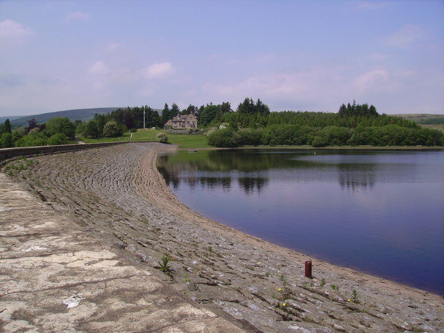
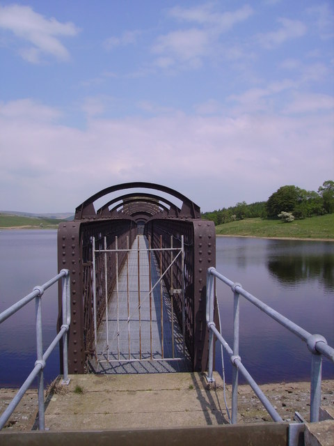
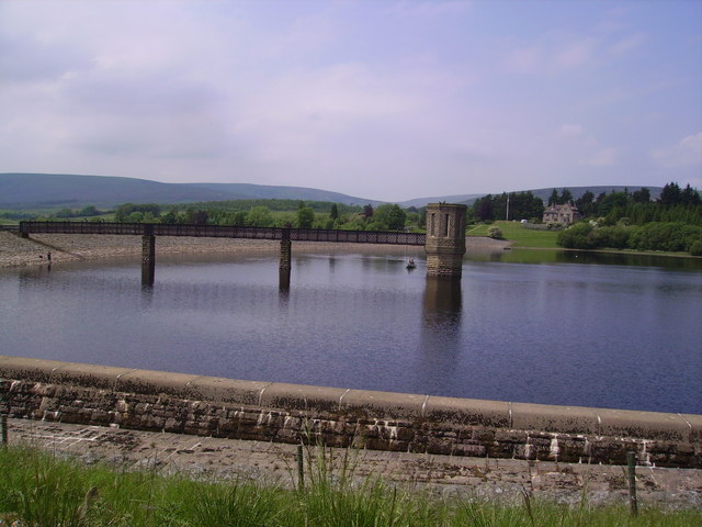
Stocks Reservoir
Stocks Reservoir is a reservoir situated at the head of the Hodder valley in the Forest of Bowland, Lancashire, England (historically in the West Riding...

Slaidburn
Slaidburn () is a village and civil parish within the Ribble Valley district of Lancashire, England. The parish covers just over 5,000 acres of the Forest...

St Andrew's Church, Slaidburn
St Andrew's Church is in Church Street, Slaidburn, Lancashire, England. It is an active Anglican parish church in the deanery of Bowland, the archdeaconry...

Geography of the United Kingdom
The United Kingdom is a sovereign state located off the north-western coast of continental Europe. With a total area of approximately 248,532 square kilometres...

Easington, Lancashire
Easington () is a civil parish within the Ribble Valley district of Lancashire, England, with a population in 2001 of 52. The Census 2011 population details...

Newton-in-Bowland
Newton or Newton-in-Bowland is a village and civil parish in the Ribble Valley district, in the county of Lancashire, England, formerly known as Newton...
Nearby Amenities
Located within 500m of 53.98924,-2.4544071Have you been to Midgram Wood?
Leave your review of Midgram Wood below (or comments, questions and feedback).