Hawker's Grove

Wood, Forest in Gloucestershire

England

Hawker's Grove

Tortworth lodges
Tortworth lodges Credit: don cload

Hawker's Grove, located in Gloucestershire, England, is a picturesque wood and forest area that boasts an enchanting blend of natural beauty and historical significance. Situated in the heart of the Cotswolds, it covers a vast expanse of approximately 50 acres.

The grove is known for its dense foliage and diverse range of tree species, including oak, beech, and ash, which provide a stunning display of colors throughout the year. These ancient trees, some dating back centuries, create a peaceful and serene atmosphere, making it a favorite destination for nature lovers and hikers.

Aside from its natural charm, Hawker's Grove has historical connections that add to its appeal. It is believed to have been named after the famous poet and antiquary Robert Hawker, who lived in the nearby town of Cheltenham during the 19th century. The grove is said to have inspired some of his works, adding a touch of literary significance to the area.

Visitors to Hawker's Grove can enjoy a variety of activities, including walking along the well-maintained trails, taking in the sights and sounds of the woodland, and discovering the local wildlife that calls this place home. The grove is home to a diverse range of species, including deer, foxes, and a variety of birds.

Overall, Hawker's Grove in Gloucestershire offers a tranquil escape from the hustle and bustle of everyday life, allowing visitors to immerse themselves in the beauty of nature and connect with the rich history of the area.

If you have any feedback on the listing, please let us know in the comments section below.

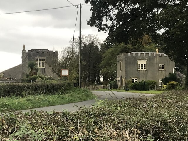
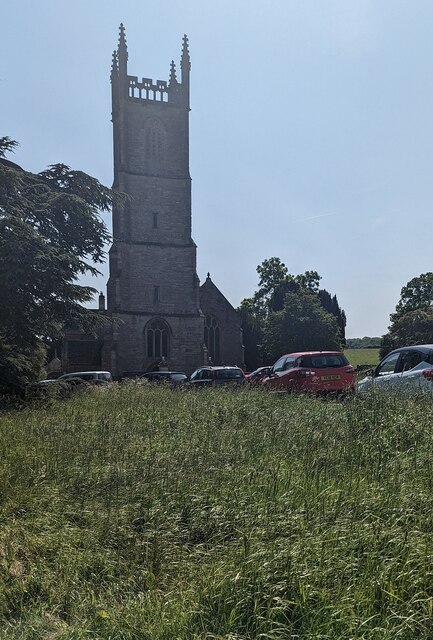
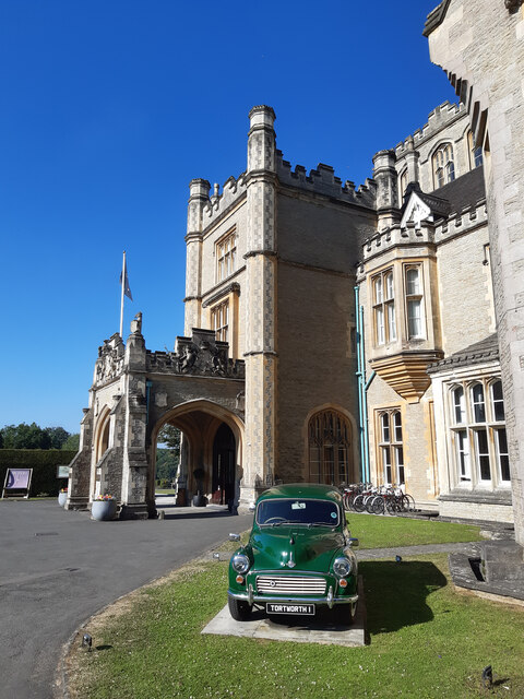
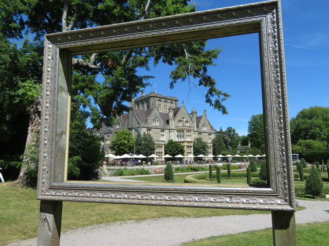
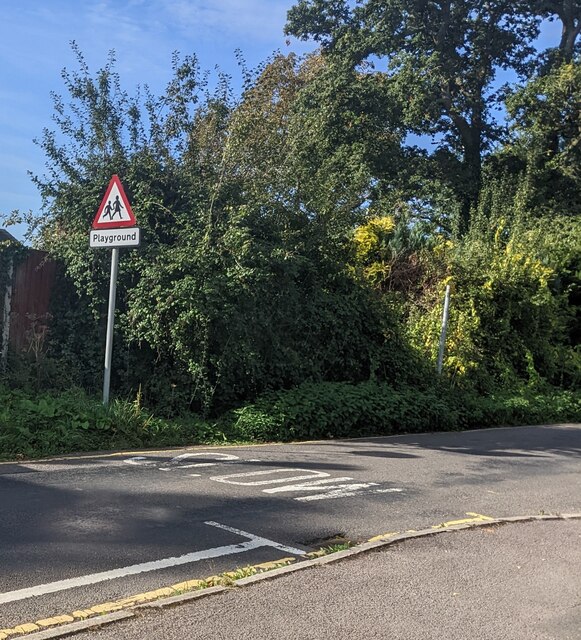
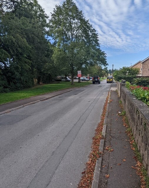
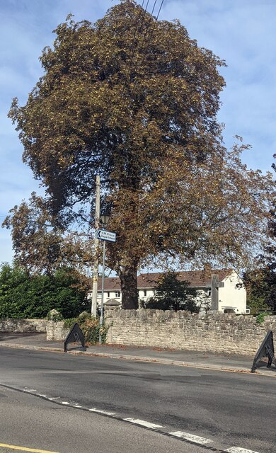
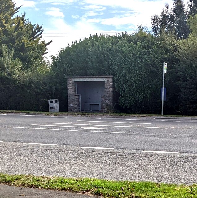
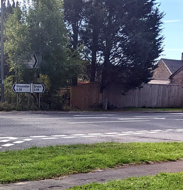
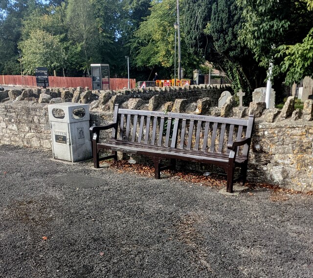
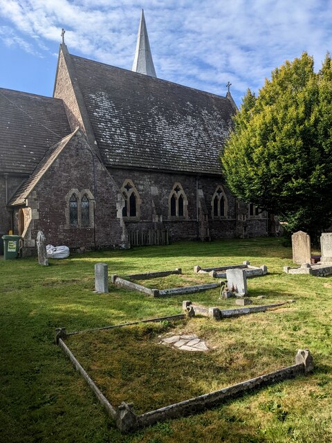
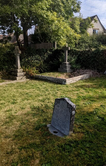
Hawker's Grove Images

Images are sourced within 2km of 51.63619/-2.4391239 or Grid Reference ST6993. Thanks to Geograph Open Source API. All images are credited.

Tortworth lodges
Tortworth lodges
Entrance drive to Tortworth Court Hotel
Church tower, Tortworth, South Gloucestershire On the west side of Grade II (Star) Listed St Leonard's Church
in the Church of England Diocese of Gloucester.
Church tower, Tortworth, South Gloucestershire
On the west side of Grade II (Star) Listed St Leonard's Church in the Church of England Diocese of Gloucester.
Welcome to CROMHALL -  Please drive carefully The 50mph speed limit on the B4058 Bristol Road in South Gloucestershire here drops to 30mph.
Welcome to CROMHALL - Please drive carefully
The 50mph speed limit on the B4058 Bristol Road in South Gloucestershire here drops to 30mph.
Charfield : Doverlea A house with lots of Christmas lights and decorations.
Charfield : Doverlea
A house with lots of Christmas lights and decorations.
Tortworth Court Hotel
Tortworth Court Hotel - framed
Warning sign - playground, Falfield Alongside SLOW painted on Sundayshill Lane.
Warning sign - playground, Falfield
Alongside SLOW painted on Sundayshill Lane.
Church Avenue, Falfield Viewed from the corner of Sundayshill Lane. A sign in the background shows "Residential Area" and a 15 mph speed limit.
Church Avenue, Falfield
Viewed from the corner of Sundayshill Lane. A sign in the background shows "Residential Area" and a 15 mph speed limit.
Early autumn colours, Sundayshill Lane, Falfield A horse chestnut tree viewed on September 25th 2022.
Early autumn colours, Sundayshill Lane, Falfield
A horse chestnut tree viewed on September 25th 2022.
Bus stop and shelter, Falfield Alongside the A38, the main road through Falfield in South Gloucestershire.
Bus stop and shelter, Falfield
Alongside the A38, the main road through Falfield in South Gloucestershire.
A38 direction signs, Falfield, South Gloucestershire Left for Gloucester, right for Bristol.
A38 direction signs, Falfield, South Gloucestershire
Left for Gloucester, right for Bristol.
Queen Elizabeth II Silver Jubilee Bench, Falfield The bench near the corner of the A38 and Sundayshill Lane is dated 1977.
Queen Elizabeth II Silver Jubilee Bench, Falfield
The bench near the corner of the A38 and Sundayshill Lane is dated 1977.
Church and churchyard, Falfield, South Gloucestershire Looking towards the rear of Grade II Listed St George's Church 
in the Church of England Diocese of Gloucester.
Church and churchyard, Falfield, South Gloucestershire
Looking towards the rear of Grade II Listed St George's Church in the Church of England Diocese of Gloucester.
Churchyard crosses, Falfield, South Gloucestershire In the NE corner of St George's churchyard in the Church of England Diocese of Gloucester.
Churchyard crosses, Falfield, South Gloucestershire
In the NE corner of St George's churchyard in the Church of England Diocese of Gloucester.
Large car park, Falfield, South Gloucestershire Looking across Sundayshill Lane towards the Huntsman Inn. The board on the right states that the car park is for Huntsman Inn patrons only.
Large car park, Falfield, South Gloucestershire
Looking across Sundayshill Lane towards the Huntsman Inn. The board on the right states that the car park is for Huntsman Inn patrons only.
BT phonebox, Sundayshill Lane, Falfield, South Gloucestershire Located opposite St George's Church.
BT phonebox, Sundayshill Lane, Falfield, South Gloucestershire
Located opposite St George's Church.
Memorial bench in St George's churchyard, Falfield, South Gloucestershire The small plaque on the bench records
GIVEN IN LOVING MEMORY OF EVELYN MIRIAM ANGELL JAMES 1905 - 1998
Memorial bench in St George's churchyard, Falfield, South Gloucestershire
The small plaque on the bench records GIVEN IN LOVING MEMORY OF EVELYN MIRIAM ANGELL JAMES 1905 - 1998
Show me another place!

Hawker's Grove is located at Grid Ref: ST6993 (Lat: 51.63619, Lng: -2.4391239)

Unitary Authority: South Gloucestershire

Police Authority: Avon and Somerset

What 3 Words

///printouts.heap.bikes. Near Falfield, Gloucestershire

Related Wikis

Tortworth

Tortworth is a small village and civil parish, near Thornbury in Gloucestershire, England. It has a population of 147 as of 2011. It lies on the B4509...

Tortworth Court

Tortworth Court is a Victorian mansion in Tortworth near Thornbury, South Gloucestershire. England. It was built in Tudor style for the 2nd Earl of Ducie...

HM Prison Leyhill

HM Prison Leyhill is a Category D men's prison located in the parish of Tortworth in Gloucestershire, England. His Majesty's Prison Service operates Leyhill...

Falfield

Falfield is a village, located near the northern border of the South Gloucestershire district of Gloucestershire, England on the southern edge of the Berkeley...

Damery Road Section

Damery Road Section (grid reference ST705943) is a 0.5-hectare (1.2-acre) geological Site of Special Scientific Interest north of Tortworth, South Gloucestershire...

Slickstones Quarry, Cromhall

Slickstones Quarry, Cromhall (grid reference ST704916) is a 2.7 hectare geological Site of Special Scientific Interest near the village of Cromhall, South...

HM Prison Eastwood Park

HM Prison Eastwood Park is a women's closed category prison, located in the village of Falfield in South Gloucestershire, England. The prison is operated...

Cromhall

Cromhall is a village in South Gloucestershire, England. It is located between Bagstone and Charfield on the B4058, and also borders Leyhill. The parish...

Nearby Amenities

Located within 500m of 51.63619,-2.4391239
Bus Stop
Tortworth Primary School
Name Zh: 托特沃斯小学
Naptan AtcoCode: 0170SGB20743
Naptan Bearing: S
Naptan CommonName: Tortworth Primary School
Naptan NaptanCode: sglmjaj
Naptan Street: N/A
Naptan Verified: no
Source: naptan_import
Lat/Long: 51.6341729/-2.4342809
Bus Stop
Tortworth Primary School
Name Zh: 托特沃斯小学
Naptan AtcoCode: 0170SGB20744
Naptan Bearing: S
Naptan CommonName: Tortworth Primary School
Naptan NaptanCode: sglmjap
Naptan Street: N/A
Naptan Verified: no
Source: naptan_import
Lat/Long: 51.6340472/-2.4342219
Bench
Source: survey
Lat/Long: 51.6323441/-2.4428496
Power: pole
Source: Bing
Lat/Long: 51.6323697/-2.4389908
Power: pole
Source: Bing
Lat/Long: 51.6324064/-2.4377547
Power: pole
Source: Bing
Lat/Long: 51.6324503/-2.4365864
Power: pole
Source: Bing
Lat/Long: 51.6324979/-2.4354438
Bench
Source: survey
Lat/Long: 51.6327723/-2.4423766
Man Made: street_cabinet
Ref: Falfield 4
Street Cabinet: telecom
Lat/Long: 51.6341797/-2.4349654
Power: pole
Lat/Long: 51.6352739/-2.4452542
Power: pole
Lat/Long: 51.6339073/-2.4452678
Power: pole
Lat/Long: 51.6359406/-2.4452474
Power: pole
Lat/Long: 51.6345478/-2.4452674
Tortworth House
Place: isolated_dwelling
Lat/Long: 51.6361469/-2.4360757
The data included in this document is from www.openstreetmap.org. The data is made available under ODbL.

Have you been to Hawker's Grove?

Leave your review of Hawker's Grove below (or comments, questions and feedback).