Sagar's Wood
Wood, Forest in Lancashire Ribble Valley
England
Sagar's Wood
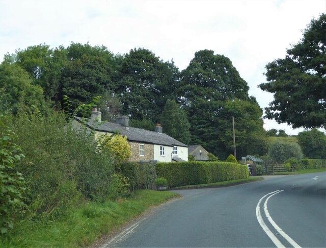
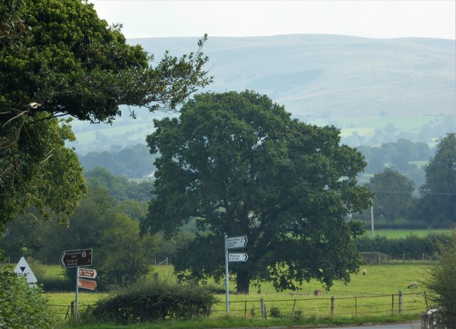
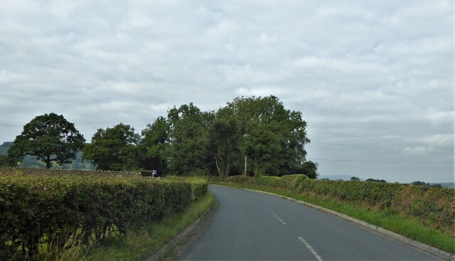
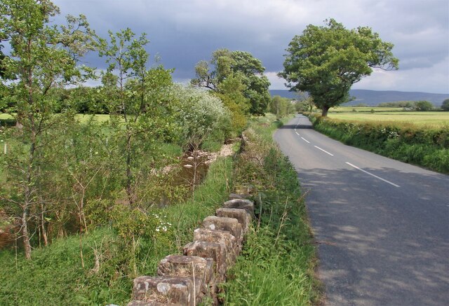
Sagar's Wood is a picturesque woodland located in the county of Lancashire, England. This enchanting forest spans across an area of approximately 100 acres and is renowned for its natural beauty and tranquility. The wood is situated near the village of Sagar, hence its name, and is a popular destination for nature enthusiasts, hikers, and photographers.
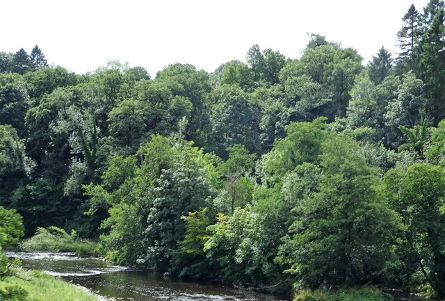
The woodland is predominantly composed of native tree species, including oak, beech, and birch trees, which create a dense canopy, providing shade and shelter to the diverse wildlife that inhabits the area. Sagar's Wood is home to several species of birds, such as woodpeckers, owls, and songbirds, making it a haven for birdwatchers.
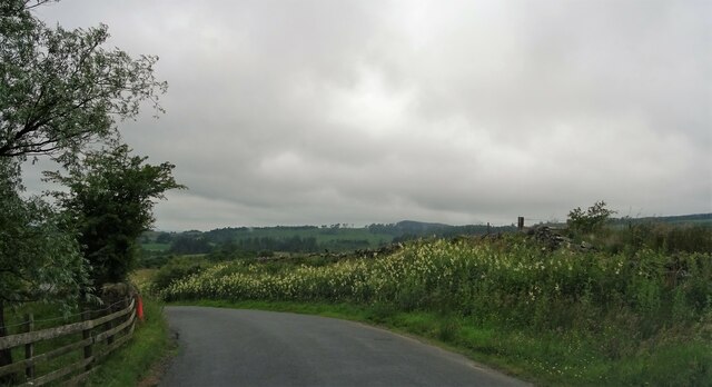
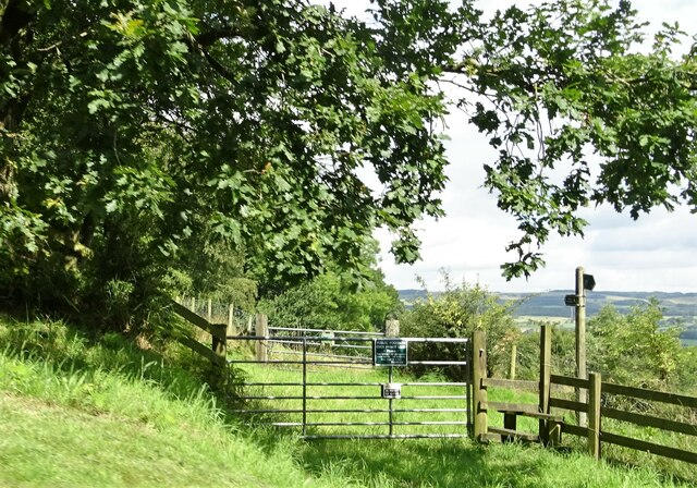
Visitors to Sagar's Wood can enjoy a network of well-maintained trails that meander through the forest, offering opportunities for leisurely strolls and more challenging hikes. These paths lead visitors through a variety of scenic landscapes, including meadows, ponds, and small streams, enhancing the overall charm of the wood.
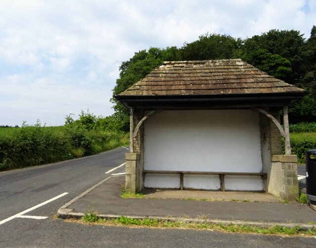
The woodland also provides a peaceful setting for picnics and family outings, with designated picnic areas and benches scattered throughout. Additionally, there is a small visitor center at the entrance of the wood, providing information about the local flora and fauna, as well as maps and guides for exploring the area.
Sagar's Wood is a true gem in Lancashire, offering visitors a chance to escape the hustle and bustle of everyday life and immerse themselves in the serenity of nature.
If you have any feedback on the listing, please let us know in the comments section below.
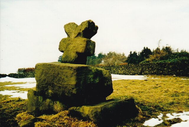
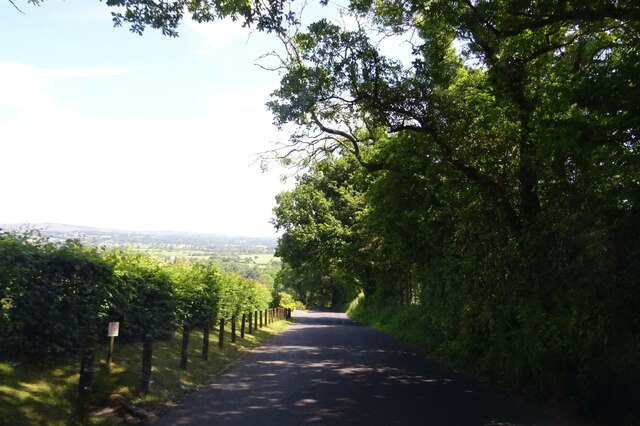
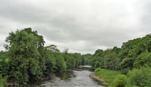
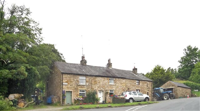
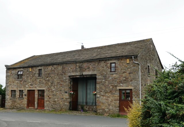
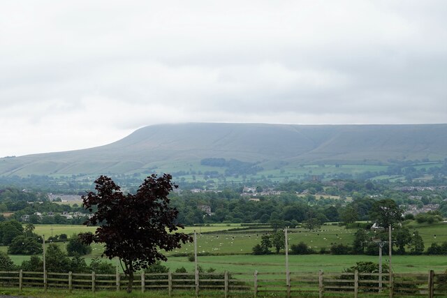
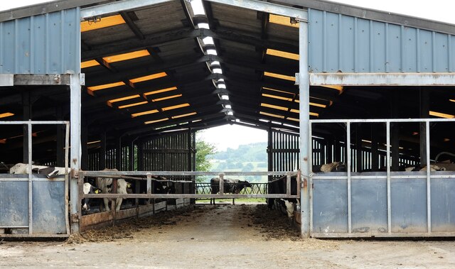
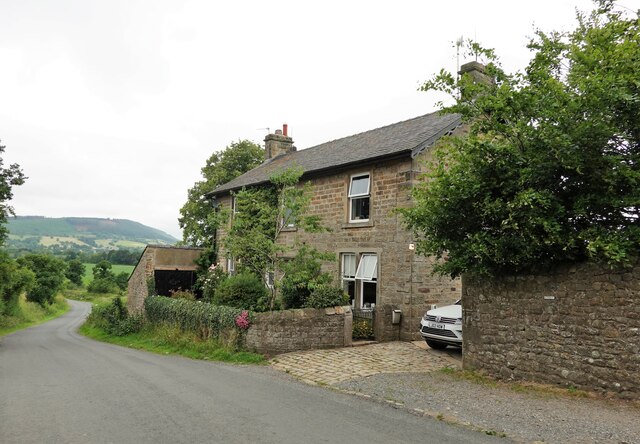
Sagar's Wood Images
Images are sourced within 2km of 53.861538/-2.4620988 or Grid Reference SD6940. Thanks to Geograph Open Source API. All images are credited.
Sagar's Wood is located at Grid Ref: SD6940 (Lat: 53.861538, Lng: -2.4620988)
Administrative County: Lancashire
District: Ribble Valley
Police Authority: Lancashire
What 3 Words
///alike.observer.tender. Near Clitheroe, Lancashire
Nearby Locations
Related Wikis

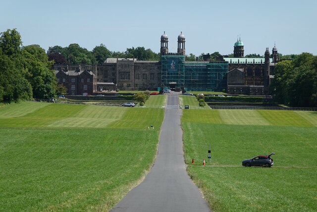
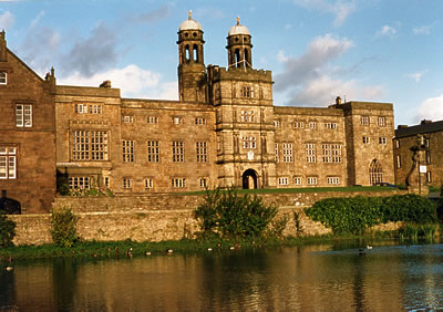
Stonyhurst College
Stonyhurst College is a co-educational Roman Catholic independent school, adhering to the Jesuit tradition, on the Stonyhurst Estate, Lancashire, England...
Libraries and collections of Stonyhurst College
The Jesuit origins of Stonyhurst College in Lancashire, England, have enabled it to amass a large collection of books, a number of which concern recusant...
Stonyhurst Saint Mary's Hall
Stonyhurst St Mary's Hall (commonly known as S.M.H.) is the preparatory school to Stonyhurst College. It is an independent co-educational Catholic school...
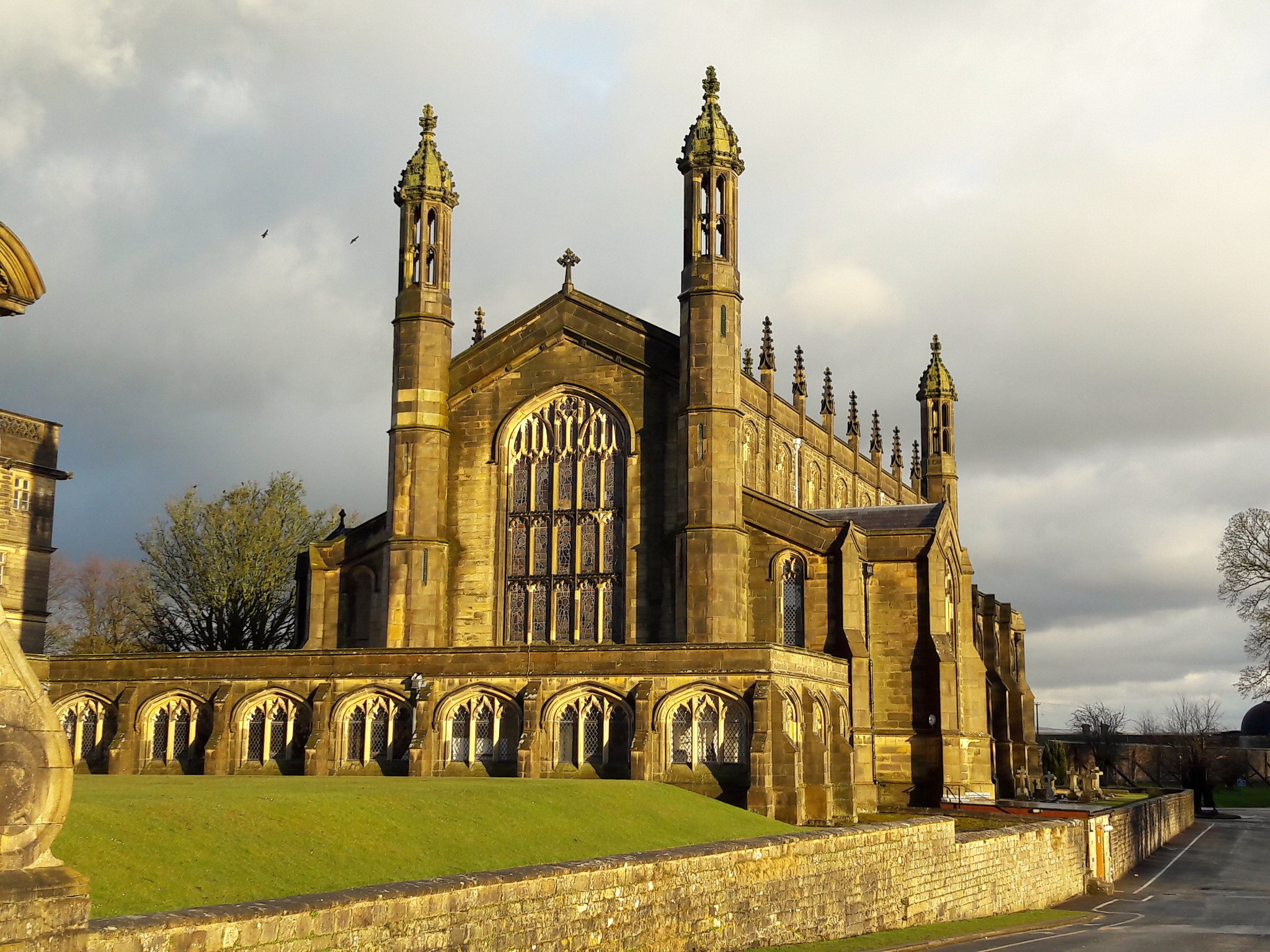
St Peter's Church, Stonyhurst
St Peter's Church is a Roman Catholic Parish Church in Stonyhurst. It is the parish church for Hurst Green, Lancashire and a chapel for Stonyhurst College...
Stonyhurst
Stonyhurst is the name of a 1,000-acre (4 km2) rural estate owned by the Society of Jesus near Clitheroe in Lancashire, England. It is centred on Stonyhurst...
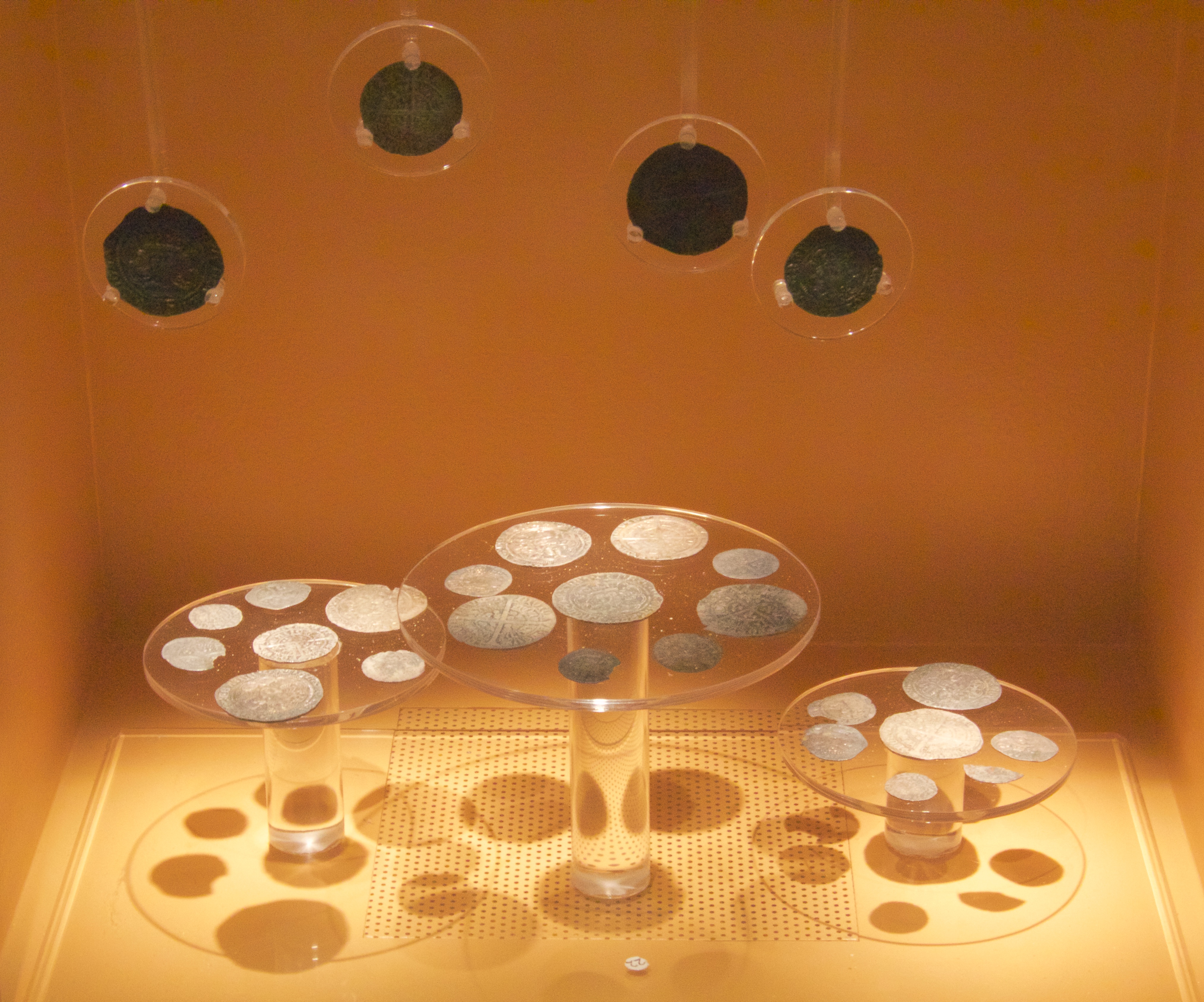
Mitton Hoard
The Mitton Hoard is a hoard of silver coins found near Clitheroe in Lancashire, England, in 2006 or 2009. The hoard is now in Clitheroe Castle Museum...

Great Mitton
Great Mitton is a village and a civil parish in the Ribble Valley, Lancashire, England. It is separated from the civil parish of Little Mitton by the River...

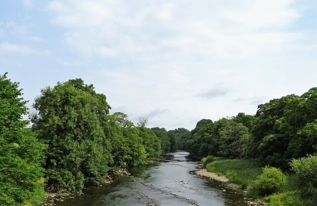
River Calder, Lancashire
The River Calder is a major tributary of the River Ribble in Lancashire, England, and is around 20 miles (32 km) in length. == Course == Starting in Cliviger...
Nearby Amenities
Located within 500m of 53.861538,-2.4620988Have you been to Sagar's Wood?
Leave your review of Sagar's Wood below (or comments, questions and feedback).