Birksfield Wood
Wood, Forest in Yorkshire South Lakeland
England
Birksfield Wood

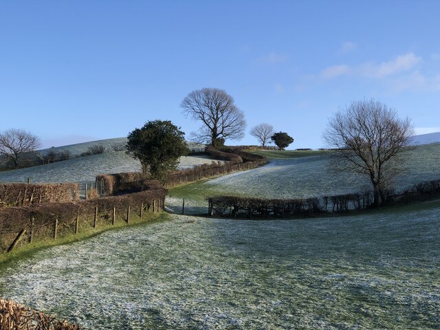
Birksfield Wood is a picturesque and enchanting forest located in the heart of Yorkshire, England. Spanning over 500 acres, this ancient woodland is renowned for its rich biodiversity and stunning natural beauty. The wood is situated on the outskirts of the charming village of Birksfield, and its proximity to the village has made it a popular destination for nature lovers, hikers, and wildlife enthusiasts.
The woodland is predominantly composed of oak and beech trees, creating a dense canopy that provides a cool and shaded environment, especially during the summer months. The forest floor is covered in a vibrant carpet of bluebells and ferns, adding to the magical atmosphere of the woodland. Birksfield Wood is also home to a diverse array of flora and fauna, including red squirrels, badgers, and various species of birds.
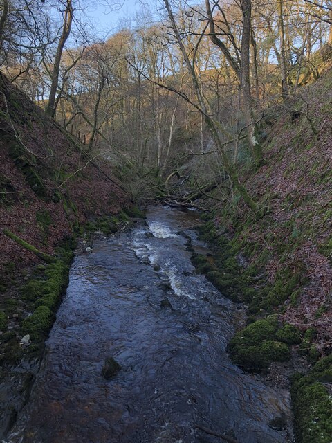
Numerous walking trails wind their way through the wood, allowing visitors to explore its hidden nooks and crannies. Along these trails, one can stumble upon ancient ruins, remnants of the region's rich history. The wood is also intersected by a meandering stream, which adds to the tranquility and serenity of the area.
Birksfield Wood is a designated nature reserve, ensuring the protection and preservation of its unique ecosystem. The wood serves as an important habitat for many endangered species, and efforts have been made to maintain its natural balance and promote sustainable practices.
Visiting Birksfield Wood offers a chance to escape the hustle and bustle of everyday life and immerse oneself in the beauty of nature. Whether it's a leisurely stroll, birdwatching, or simply breathing in the fresh woodland air, this enchanting forest has something to offer for everyone.
If you have any feedback on the listing, please let us know in the comments section below.
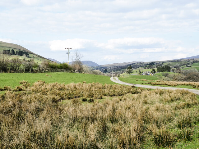
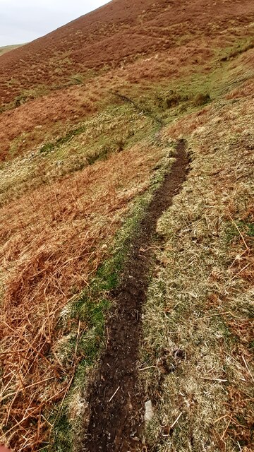
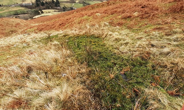
Birksfield Wood Images
Images are sourced within 2km of 54.348697/-2.4701039 or Grid Reference SD6994. Thanks to Geograph Open Source API. All images are credited.


Birksfield Wood is located at Grid Ref: SD6994 (Lat: 54.348697, Lng: -2.4701039)
Division: West Riding
Administrative County: Cumbria
District: South Lakeland
Police Authority: Cumbria
What 3 Words
///pickup.explained.regard. Near Sedbergh, Cumbria
Nearby Locations
Related Wikis

Calders (Yorkshire Dales)
Calders is a summit of 2,211 feet (674 m) in the Howgill Fells, Cumbria, England. It lies about 2⁄3 mile (1 km) south east of the summit of The Calf and...

Clough River
The Clough River is a river in Cumbria, England. A tributary of the River Rawthey, it flows for 21.8 kilometres (13.5 mi) primarily through the Garsdale...

The Calf
The Calf, at an elevation of 676 metres (2,218 ft), is the highest point in the Howgill Fells, an area of high ground in north-west England. It is in the...

Yarlside
Yarlside is a hill in the Howgill Fells, Cumbria (historically Westmorland), England. This fell is not to be confused with the Yarlside area near Barrow...

Settlebeck School
Settlebeck School is a small coeducational secondary school with academy status. It is located in Sedbergh in the English county of Cumbria, drawing pupils...

The Bull Hotel, Sedbergh
The Bull Hotel, formerly The Black Bull Hotel, is a 17th-century coaching inn in Sedbergh, Cumbria. It is located in a narrow passage parallel with the...

Sedbergh
Sedbergh ( SED-bər or locally SEB-ər) is a town and civil parish in the ceremonial county of Cumbria. It falls within the historic boundaries of the West...

St Andrew's Church, Sedbergh
St Andrew's Church is in Main Street, Sedbergh, Cumbria, England. It is an active Anglican parish church in the deanery of Kendal, and the diocese of Carlisle...
Nearby Amenities
Located within 500m of 54.348697,-2.4701039Have you been to Birksfield Wood?
Leave your review of Birksfield Wood below (or comments, questions and feedback).