Lowe Coppice

Wood, Forest in Worcestershire

England

Lowe Coppice

Lane junction for Lower Barrow
Lane junction for Lower Barrow Credit: Peter Whatley

Lowe Coppice is a charming woodland area located in the county of Worcestershire in England. Situated near the town of Bewdley, this serene forest covers an area of approximately 300 acres. It is known for its natural beauty, diverse flora and fauna, and tranquil atmosphere.

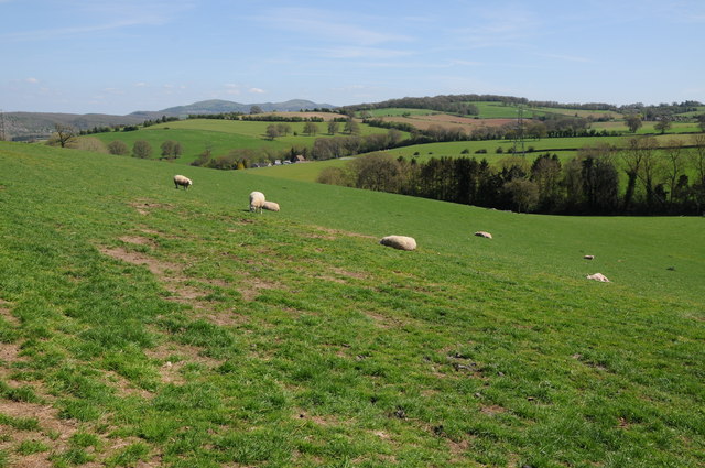
The woodland is primarily composed of a mix of deciduous and coniferous trees, including oak, beech, birch, and pine. These trees provide a rich habitat for a variety of wildlife species, such as deer, foxes, badgers, and a plethora of bird species. Nature enthusiasts and birdwatchers often visit Lowe Coppice to catch glimpses of the native wildlife.

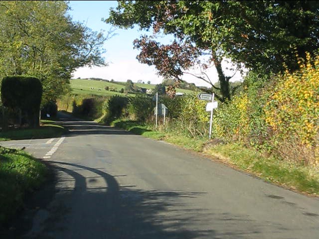
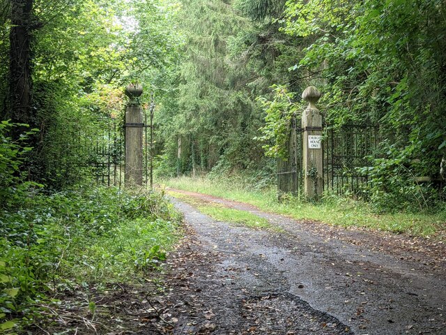
The forest features a network of well-maintained trails and paths, allowing visitors to explore the area on foot or by bike. The paths wind through the lush greenery, leading to picturesque spots such as a small pond and a babbling brook. These natural features add to the overall tranquility and charm of the woodland.

Lowe Coppice is a popular destination for outdoor activities such as hiking, nature walks, and picnicking. The forest provides an idyllic setting for families and individuals alike to immerse themselves in nature and escape the hustle and bustle of everyday life.

Managed by the local authorities, Lowe Coppice is well-maintained and offers a safe and enjoyable experience for visitors. The forest has a designated car park and basic amenities such as picnic tables and benches. It is advisable to bring appropriate footwear and clothing suitable for outdoor exploration, as the terrain can be uneven and muddy in some areas.

Overall, Lowe Coppice is a hidden gem in Worcestershire, offering a peaceful retreat for nature lovers and outdoor enthusiasts alike.

If you have any feedback on the listing, please let us know in the comments section below.
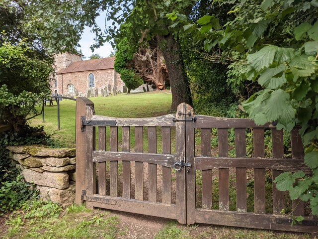
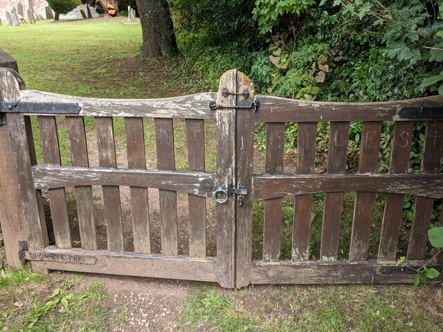
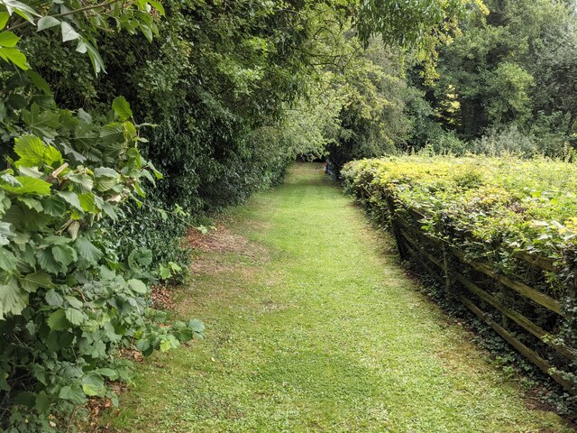
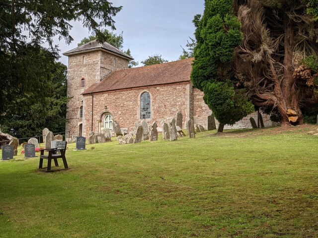
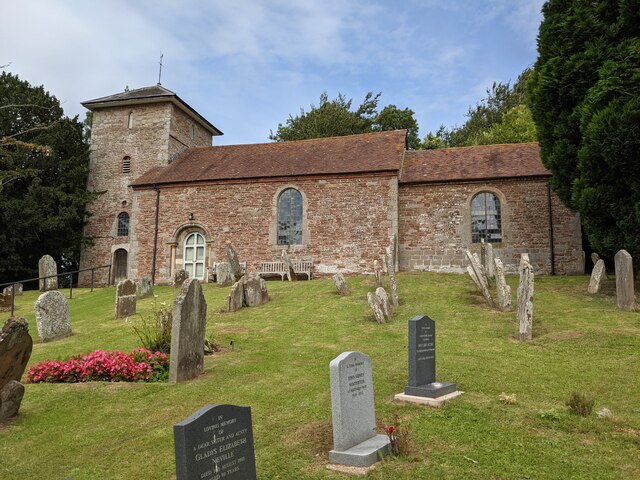
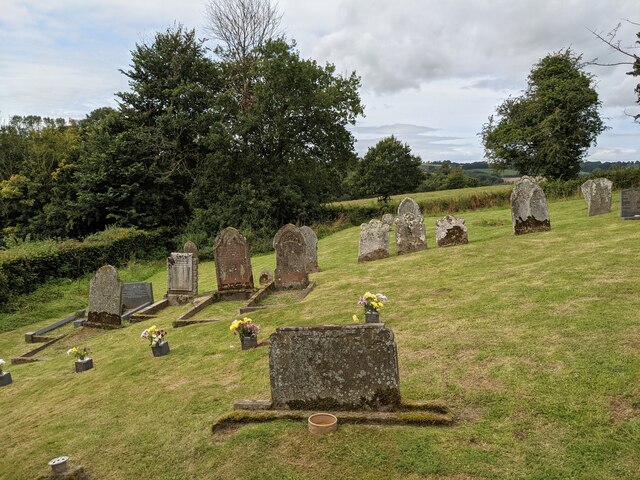
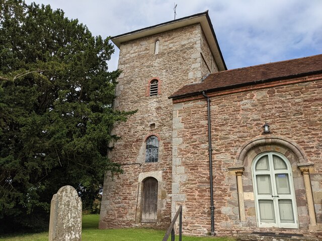
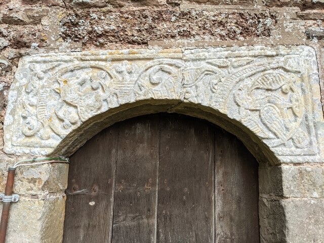
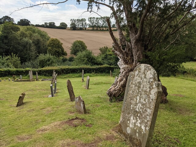
Lowe Coppice Images

Images are sourced within 2km of 52.143294/-2.4470343 or Grid Reference SO6949. Thanks to Geograph Open Source API. All images are credited.

Lane junction for Lower Barrow
Sheep grazing near Acton Green Sheep grazing in rolling farmland near Acton Green.  The Malvern Hills can be seen on the horizon.
Sheep grazing near Acton Green
Sheep grazing in rolling farmland near Acton Green. The Malvern Hills can be seen on the horizon.
Gate piers to Church House (Acton Beauchamp) These entrance gates are attached to the gate piers, placed adjacent to St. Giles' parish church.
Gate piers to Church House (Acton Beauchamp)
These entrance gates are attached to the gate piers, placed adjacent to St. Giles' parish church.
Path to St. Giles' church (Acton Beauchamp) This grassy path leads you to the grounds of St. Giles' parish church, which is in a tranquil location by Church House and Church Farm.
Path to St. Giles' church (Acton Beauchamp)
This grassy path leads you to the grounds of St. Giles' parish church, which is in a tranquil location by Church House and Church Farm.
Entrance gates to St. Giles' church (Acton Beauchamp) Placed south of St. Giles' parish church are these wooden entrance gates, which has "Saint Giles" written on the vertical lines.
Entrance gates to St. Giles' church (Acton Beauchamp)
Placed south of St. Giles' parish church are these wooden entrance gates, which has "Saint Giles" written on the vertical lines.
Path to St. Giles' church (Acton Beauchamp) This grassy path leads you to the grounds of St. Giles' parish church, which is in a tranquil location by Church House and Church Farm.
Path to St. Giles' church (Acton Beauchamp)
This grassy path leads you to the grounds of St. Giles' parish church, which is in a tranquil location by Church House and Church Farm.
St. Giles' church (Acton Beauchamp) Here is the parish church of St. Giles in Acton Beauchamp, hidden in a tranquil situation with many yew trees surrounding the building. 
Originally built in the 12th and 15th centuries, the present building mainly dates from 1819 with few exceptions. This is one of the few Georgian churches in Herefordshire, along with Shobdon and Brimfield.
St. Giles' church (Acton Beauchamp)
Here is the parish church of St. Giles in Acton Beauchamp, hidden in a tranquil situation with many yew trees surrounding the building. Originally built in the 12th and 15th centuries, the present building mainly dates from 1819 with few exceptions. This is one of the few Georgian churches in Herefordshire, along with Shobdon and Brimfield.
St. Giles' church (Acton Beauchamp) Here is the parish church of St. Giles in Acton Beauchamp, hidden in a tranquil situation with many yew trees surrounding the building. Originally built in the 12th and 15th centuries, the present building mainly dates from 1819 with few exceptions. This is one of the few Georgian churches in Herefordshire, along with Shobdon and Brimfield.
St. Giles' church (Acton Beauchamp)
Here is the parish church of St. Giles in Acton Beauchamp, hidden in a tranquil situation with many yew trees surrounding the building. Originally built in the 12th and 15th centuries, the present building mainly dates from 1819 with few exceptions. This is one of the few Georgian churches in Herefordshire, along with Shobdon and Brimfield.
Churchyard at St. Giles' church (Acton Beauchamp) The churchyard outside St. Giles' parish church contains many graves as seen here.
Churchyard at St. Giles' church (Acton Beauchamp)
The churchyard outside St. Giles' parish church contains many graves as seen here.
St. Giles' church (Bell tower | Acton Beauchamp) Here is the west bell tower at Acton Beauchamp parish church, which is Medieval. The tower has a pyramid roof on top.
St. Giles' church (Bell tower | Acton Beauchamp)
Here is the west bell tower at Acton Beauchamp parish church, which is Medieval. The tower has a pyramid roof on top.
Lintel at St. Giles' church (Bell tower | Acton Beauchamp) This lintel set is situated above the south doorway of the west bell tower, which features a section of an Anglo-Saxon cross-shaft from around the 9th century.
Lintel at St. Giles' church (Bell tower | Acton Beauchamp)
This lintel set is situated above the south doorway of the west bell tower, which features a section of an Anglo-Saxon cross-shaft from around the 9th century.
St. Giles' church (Bell tower | Acton Beauchamp) Here is the west bell tower at Acton Beauchamp parish church, which is Medieval. The tower has a pyramid roof on top.
St. Giles' church (Bell tower | Acton Beauchamp)
Here is the west bell tower at Acton Beauchamp parish church, which is Medieval. The tower has a pyramid roof on top.
Churchyard at St. Giles' church (Acton Beauchamp) The churchyard outside St. Giles' parish church contains many graves as seen here. The recent addition of a handrail on the ascent of the hill is brilliant.
Churchyard at St. Giles' church (Acton Beauchamp)
The churchyard outside St. Giles' parish church contains many graves as seen here. The recent addition of a handrail on the ascent of the hill is brilliant.
St. Giles' church (Bell tower | Acton Beauchamp) Here is the west bell tower at Acton Beauchamp parish church, which is Medieval. The tower has a pyramid roof on top.
St. Giles' church (Bell tower | Acton Beauchamp)
Here is the west bell tower at Acton Beauchamp parish church, which is Medieval. The tower has a pyramid roof on top.
Entrance to St. Giles' church (Bell tower | Acton Beauchamp) Situated on the south face of the west bell tower is this entrance door (locked), with an Anglo-Saxon <a href="https://www.geograph.org.uk/photo/7219573">SO6750 : Lintel at St. Giles' church (Bell tower | Acton Beauchamp)</a> above.
Entrance to St. Giles' church (Bell tower | Acton Beauchamp)
Situated on the south face of the west bell tower is this entrance door (locked), with an Anglo-Saxon SO6750 : Lintel at St. Giles' church (Bell tower | Acton Beauchamp) above.
Churchyard at St. Giles' church (Acton Beauchamp) The churchyard outside St. Giles' parish church contains many graves.
Churchyard at St. Giles' church (Acton Beauchamp)
The churchyard outside St. Giles' parish church contains many graves.
St. Giles' church (Font | Acton Beauchamp) The font in the west end of the nave was built in the late 15th century. 
Note the Severn Valley Railway cap on the bench!
St. Giles' church (Font | Acton Beauchamp)
The font in the west end of the nave was built in the late 15th century. Note the Severn Valley Railway cap on the bench!
Show me another place!

Lowe Coppice is located at Grid Ref: SO6949 (Lat: 52.143294, Lng: -2.4470343)

Unitary Authority: County of Herefordshire

Police Authority: West Mercia

What 3 Words

///tadpoles.passports.brush. Near Evesbatch, Herefordshire

Related Wikis

Acton Green, Herefordshire

Acton Green is a village in the north east of the English county of Herefordshire (historically Worcestershire) between Bromyard and Great Malvern. �...

Evesbatch

Evesbatch is a village and civil parish 12 miles (19 km) north east of Hereford, in the county of Herefordshire, England. In 2001 the parish had a population...

Acton Beauchamp

Acton Beauchamp () is a village and civil parish in Herefordshire, England. It is approximately 12 miles (19 km) north-east from the city and county town...

Stanford Bishop

Stanford Bishop is a village and civil parish 13 miles (21 km) north east of Hereford, in the county of Herefordshire, England. In 2011 the parish had...

Nearby Amenities

Located within 500m of 52.143294,-2.4470343
Power: tower
Source: Bing
Lat/Long: 52.1404745/-2.4496272
Power: tower
Lat/Long: 52.1442607/-2.4425811
Power: tower
Source: Bing
Lat/Long: 52.1419654/-2.4468666
Generator Method: photovoltaic
Generator Output Electricity: yes
Generator Source: solar
Generator Type: solar_photovoltaic_panel
Location: roof
Power: generator
Lat/Long: 52.146975/-2.4433637
Power: pole
Lat/Long: 52.1443678/-2.4507203
Power: pole
Lat/Long: 52.1436851/-2.4541777
Sunny Outlook
Power: pole
Transformer: distribution
Voltage Primary: 11000
Lat/Long: 52.1436629/-2.4535963
Power: pole
Lat/Long: 52.143809/-2.4525529
Power: pole
Lat/Long: 52.1439686/-2.4514666
Power: pole
Lat/Long: 52.144911/-2.4494737
Power: pole
Lat/Long: 52.1450994/-2.4489105
Power: pole
Lat/Long: 52.1447299/-2.4500383
Power: pole
Lat/Long: 52.1460623/-2.4462531
Sunny Side
Power: pole
Transformer: distribution
Voltage Primary: 11000
Lat/Long: 52.1454455/-2.44791
Power: pole
Lat/Long: 52.1455949/-2.4474286
Power: pole
Lat/Long: 52.1459047/-2.4467406
Power: pole
Lat/Long: 52.1462841/-2.4454437
Power: pole
Lat/Long: 52.1465689/-2.4435883
Power: pole
Lat/Long: 52.1461315/-2.444627
The data included in this document is from www.openstreetmap.org. The data is made available under ODbL.

Have you been to Lowe Coppice?

Leave your review of Lowe Coppice below (or comments, questions and feedback).