Acton Green

Settlement in Worcestershire

England

Acton Green

Lane junction for Lower Barrow
Lane junction for Lower Barrow Credit: Peter Whatley

Acton Green is a small village located in the county of Worcestershire, England. It is situated approximately 5 miles south of the town of Kidderminster and 14 miles northwest of Worcester. The village is part of the Wyre Forest District and falls within the civil parish of Hartlebury.

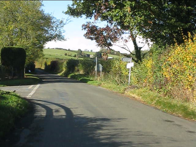
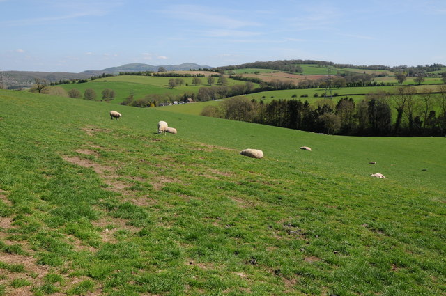
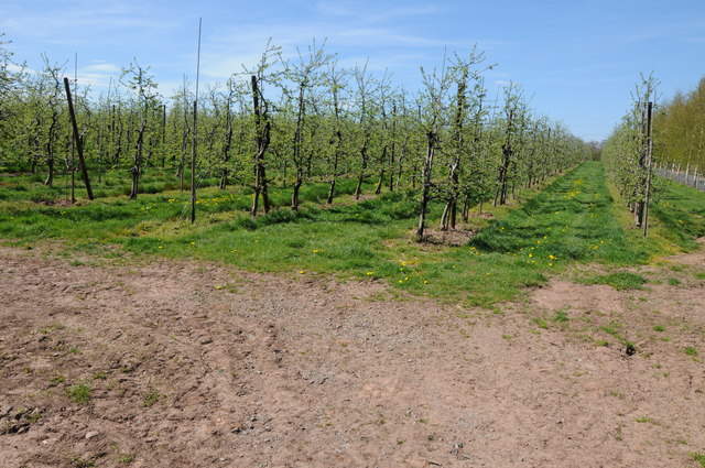
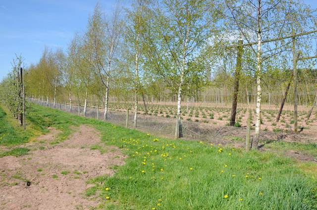
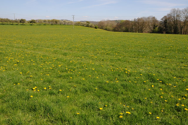
Acton Green is a predominantly rural area characterized by its picturesque countryside and charming rural landscapes. The village is surrounded by farmland, with rolling hills and meadows creating a tranquil and idyllic setting. The area is known for its agricultural heritage, with farming playing a significant role in the local economy.

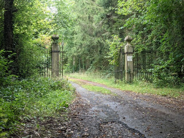
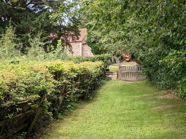
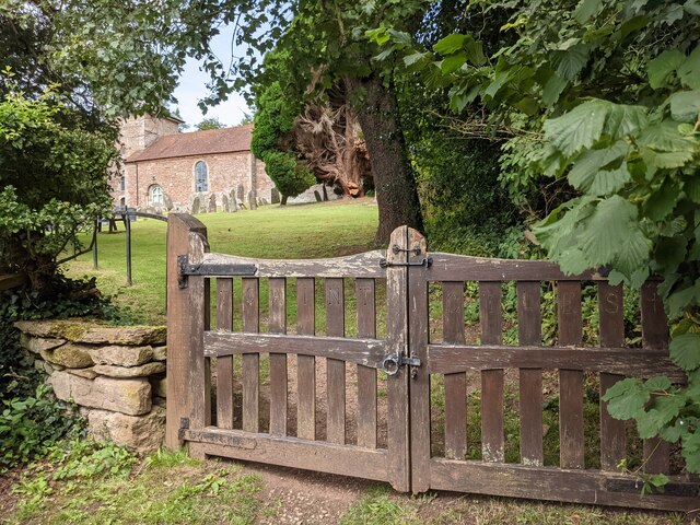
Despite its small size, Acton Green does have a few amenities to offer its residents. The village is home to a local pub, providing a social hub for the community. There are also a number of footpaths and bridleways that crisscross the area, allowing residents and visitors to enjoy leisurely walks and take in the natural beauty of the countryside.

The village is well-connected to neighboring towns and cities by road, with the A449 and A451 providing easy access to Kidderminster, Worcester, and other nearby areas. The village also benefits from a regular bus service, ensuring convenient transportation options for those without private vehicles.

Overall, Acton Green offers a peaceful and rural lifestyle, with its scenic surroundings and close-knit community making it an attractive place to live for those seeking a quieter pace of life.

If you have any feedback on the listing, please let us know in the comments section below.
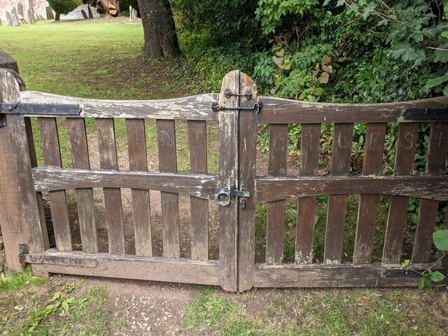
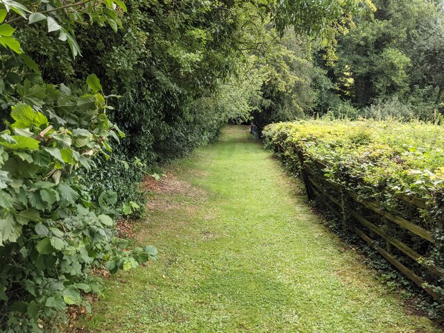
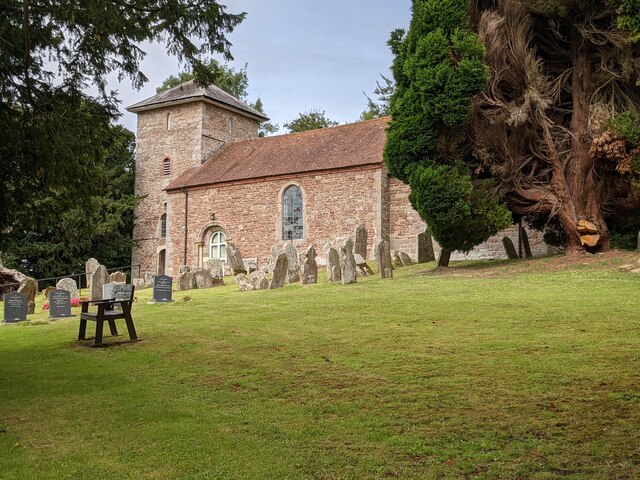
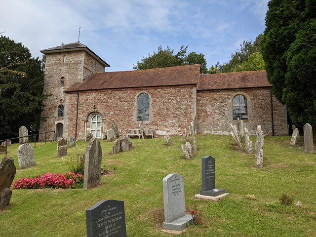
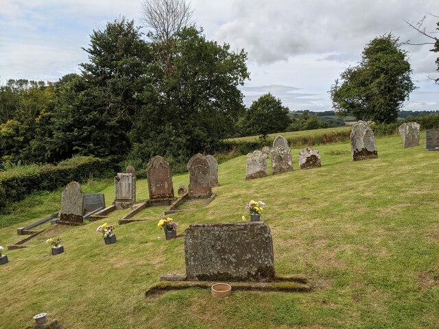
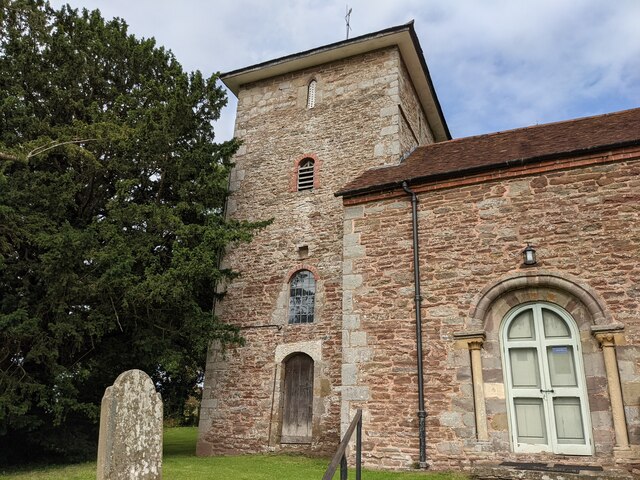
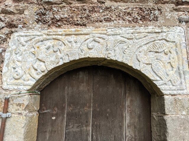
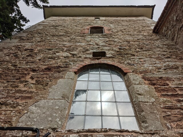
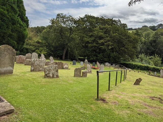
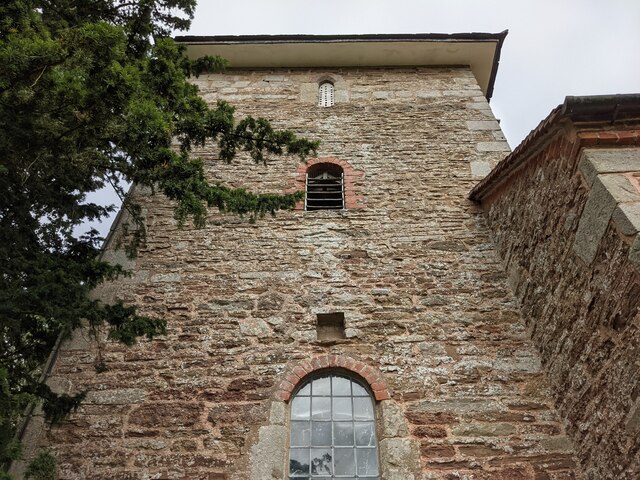
Acton Green Images

Images are sourced within 2km of 52.147437/-2.4427354 or Grid Reference SO6949. Thanks to Geograph Open Source API. All images are credited.

Lane junction for Lower Barrow
Sheep grazing near Acton Green Sheep grazing in rolling farmland near Acton Green.  The Malvern Hills can be seen on the horizon.
Sheep grazing near Acton Green
Sheep grazing in rolling farmland near Acton Green. The Malvern Hills can be seen on the horizon.
Apple orchards near Suckley Cultivated apple orchards near Chapels Farm at Suckley.
Apple orchards near Suckley
Cultivated apple orchards near Chapels Farm at Suckley.
Hop field at Suckley Beyond the line of silver birch trees is a hop field.
Hop field at Suckley
Beyond the line of silver birch trees is a hop field.
Field of dandelions Dandelions flowers in a field at Suckley.
Field of dandelions
Dandelions flowers in a field at Suckley.
Gate piers to Church House (Acton Beauchamp) These entrance gates are attached to the gate piers, placed adjacent to St. Giles' parish church.
Gate piers to Church House (Acton Beauchamp)
These entrance gates are attached to the gate piers, placed adjacent to St. Giles' parish church.
Path to St. Giles' church (Acton Beauchamp) This grassy path leads you to the grounds of St. Giles' parish church, which is in a tranquil location by Church House and Church Farm.
Path to St. Giles' church (Acton Beauchamp)
This grassy path leads you to the grounds of St. Giles' parish church, which is in a tranquil location by Church House and Church Farm.
Entrance gates to St. Giles' church (Acton Beauchamp) Placed south of St. Giles' parish church are these wooden entrance gates, which has "Saint Giles" written on the vertical lines.
Entrance gates to St. Giles' church (Acton Beauchamp)
Placed south of St. Giles' parish church are these wooden entrance gates, which has "Saint Giles" written on the vertical lines.
Path to St. Giles' church (Acton Beauchamp) This grassy path leads you to the grounds of St. Giles' parish church, which is in a tranquil location by Church House and Church Farm.
Path to St. Giles' church (Acton Beauchamp)
This grassy path leads you to the grounds of St. Giles' parish church, which is in a tranquil location by Church House and Church Farm.
St. Giles' church (Acton Beauchamp) Here is the parish church of St. Giles in Acton Beauchamp, hidden in a tranquil situation with many yew trees surrounding the building. 
Originally built in the 12th and 15th centuries, the present building mainly dates from 1819 with few exceptions. This is one of the few Georgian churches in Herefordshire, along with Shobdon and Brimfield.
St. Giles' church (Acton Beauchamp)
Here is the parish church of St. Giles in Acton Beauchamp, hidden in a tranquil situation with many yew trees surrounding the building. Originally built in the 12th and 15th centuries, the present building mainly dates from 1819 with few exceptions. This is one of the few Georgian churches in Herefordshire, along with Shobdon and Brimfield.
St. Giles' church (Acton Beauchamp) Here is the parish church of St. Giles in Acton Beauchamp, hidden in a tranquil situation with many yew trees surrounding the building. Originally built in the 12th and 15th centuries, the present building mainly dates from 1819 with few exceptions. This is one of the few Georgian churches in Herefordshire, along with Shobdon and Brimfield.
St. Giles' church (Acton Beauchamp)
Here is the parish church of St. Giles in Acton Beauchamp, hidden in a tranquil situation with many yew trees surrounding the building. Originally built in the 12th and 15th centuries, the present building mainly dates from 1819 with few exceptions. This is one of the few Georgian churches in Herefordshire, along with Shobdon and Brimfield.
Churchyard at St. Giles' church (Acton Beauchamp) The churchyard outside St. Giles' parish church contains many graves as seen here.
Churchyard at St. Giles' church (Acton Beauchamp)
The churchyard outside St. Giles' parish church contains many graves as seen here.
St. Giles' church (Bell tower | Acton Beauchamp) Here is the west bell tower at Acton Beauchamp parish church, which is Medieval. The tower has a pyramid roof on top.
St. Giles' church (Bell tower | Acton Beauchamp)
Here is the west bell tower at Acton Beauchamp parish church, which is Medieval. The tower has a pyramid roof on top.
Lintel at St. Giles' church (Bell tower | Acton Beauchamp) This lintel set is situated above the south doorway of the west bell tower, which features a section of an Anglo-Saxon cross-shaft from around the 9th century.
Lintel at St. Giles' church (Bell tower | Acton Beauchamp)
This lintel set is situated above the south doorway of the west bell tower, which features a section of an Anglo-Saxon cross-shaft from around the 9th century.
St. Giles' church (Bell tower | Acton Beauchamp) Here is the west bell tower at Acton Beauchamp parish church, which is Medieval. The tower has a pyramid roof on top.
St. Giles' church (Bell tower | Acton Beauchamp)
Here is the west bell tower at Acton Beauchamp parish church, which is Medieval. The tower has a pyramid roof on top.
Churchyard at St. Giles' church (Acton Beauchamp) The churchyard outside St. Giles' parish church contains many graves as seen here. The recent addition of a handrail on the ascent of the hill is brilliant.
Churchyard at St. Giles' church (Acton Beauchamp)
The churchyard outside St. Giles' parish church contains many graves as seen here. The recent addition of a handrail on the ascent of the hill is brilliant.
St. Giles' church (Bell tower | Acton Beauchamp) Here is the west bell tower at Acton Beauchamp parish church, which is Medieval. The tower has a pyramid roof on top.
St. Giles' church (Bell tower | Acton Beauchamp)
Here is the west bell tower at Acton Beauchamp parish church, which is Medieval. The tower has a pyramid roof on top.
Show me another place!

Acton Green is located at Grid Ref: SO6949 (Lat: 52.147437, Lng: -2.4427354)

Unitary Authority: County of Herefordshire

Police Authority: West Mercia

What 3 Words

///stylists.electric.piper. Near Evesbatch, Herefordshire

Related Wikis

Acton Green, Herefordshire

Acton Green is a village in the north east of the English county of Herefordshire (historically Worcestershire) between Bromyard and Great Malvern. �...

Stanford Bishop

Stanford Bishop is a village and civil parish 13 miles (21 km) north east of Hereford, in the county of Herefordshire, England. In 2011 the parish had...

Acton Beauchamp

Acton Beauchamp () is a village and civil parish in Herefordshire, England. It is approximately 12 miles (19 km) north-east from the city and county town...

Evesbatch

Evesbatch is a village and civil parish 12 miles (19 km) north east of Hereford, in the county of Herefordshire, England. In 2001 the parish had a population...

Nearby Amenities

Located within 500m of 52.147437,-2.4427354
Bus Stop
Crossroads
Bus: yes
Naptan AtcoCode: 2090A070000
Naptan Bearing: N
Naptan BusStopType: CUS
Naptan CommonName: Crossroads
Naptan Indicator: adj Telephone Box
Naptan Landmark: Telephone Box
Naptan NaptanCode: heradgpt
Naptan Street: B4220
Naptan Verified: no
Public Transport: platform
Source: naptan_import
Lat/Long: 52.1477967/-2.4431769
Bus Stop
Crossroads
Bus: yes
Naptan AtcoCode: 2090A18289
Naptan Bearing: S
Naptan BusStopType: CUS
Naptan CommonName: Crossroads
Naptan Indicator: opp Telephone Box
Naptan Landmark: Telephone Box
Naptan NaptanCode: heragmpa
Naptan Street: B4220
Naptan Verified: no
Public Transport: platform
Source: naptan_import
Lat/Long: 52.1479147/-2.4429003
Power: tower
Lat/Long: 52.1442607/-2.4425811
Power: tower
Lat/Long: 52.145729/-2.4398575
Power: tower
Lat/Long: 52.1469647/-2.4375748
Post Box
Acton Green Postbox
Collection Times: Mo-Fr 16:15; Sa 10:00
Post Box Type: wall
Ref: WR6 254
Royal Cypher: GR
Royal Cypher Wikidata: Q33102273
Lat/Long: 52.1476687/-2.4423654
Acton Green
Place: hamlet
Wikidata: Q3784211
Lat/Long: 52.147467/-2.4428593
Acton Court
Building: house
Lat/Long: 52.1495141/-2.4450322
Generator Method: photovoltaic
Generator Output Electricity: yes
Generator Source: solar
Generator Type: solar_photovoltaic_panel
Location: roof
Power: generator
Lat/Long: 52.146975/-2.4433637
Power: pole
Lat/Long: 52.1448818/-2.4384287
Power: pole
Lat/Long: 52.144297/-2.4375835
Coppice House
Power: pole
Transformer: distribution
Voltage Primary: 11000
Lat/Long: 52.1453731/-2.4391378
Power: pole
Lat/Long: 52.1462549/-2.4398198
Power: pole
Lat/Long: 52.1471733/-2.4406057
Power: pole
Lat/Long: 52.1450994/-2.4489105
Power: pole
Lat/Long: 52.1460623/-2.4462531
Sunny Side
Power: pole
Transformer: distribution
Voltage Primary: 11000
Lat/Long: 52.1454455/-2.44791
Power: pole
Lat/Long: 52.1455949/-2.4474286
Power: pole
Lat/Long: 52.1459047/-2.4467406
Power: pole
Lat/Long: 52.1462841/-2.4454437
Power: pole
Lat/Long: 52.1465689/-2.4435883
Power: pole
Lat/Long: 52.1470305/-2.4424852
Power: pole
Lat/Long: 52.1461315/-2.444627
Acton Green
Power: pole
Transformer: distribution
Voltage Primary: 11000
Lat/Long: 52.1471449/-2.4422117
Power: pole
Lat/Long: 52.1473672/-2.4416953
Power: pole
Lat/Long: 52.1476564/-2.4410281
Power: pole
Lat/Long: 52.147967/-2.4413601
Power: pole
Lat/Long: 52.1486081/-2.4420172
Power: pole
Lat/Long: 52.1492562/-2.4426998
Power: pole
Lat/Long: 52.1498219/-2.4432879
Acton Court
Power: pole
Transformer: distribution
Voltage Primary: 11000
Lat/Long: 52.1499807/-2.4450736
Power: pole
Lat/Long: 52.150379/-2.4446806
Power: pole
Lat/Long: 52.1507732/-2.4442796
Louvain Cottage
Power: pole
Transformer: distribution
Voltage Primary: 11000
Lat/Long: 52.1511093/-2.4446324
The data included in this document is from www.openstreetmap.org. The data is made available under ODbL.

Have you been to Acton Green?

Leave your review of Acton Green below (or comments, questions and feedback).