Malins' Wood

Wood, Forest in Herefordshire

England

Malins' Wood

Bridge over the River Leadon Bridge over the River Leadon on the B4214, north of Ledbury.
Bridge over the River Leadon Credit: Philip Halling

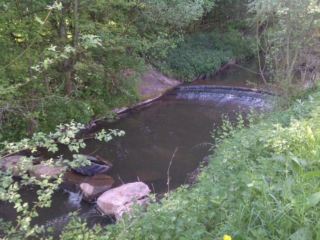
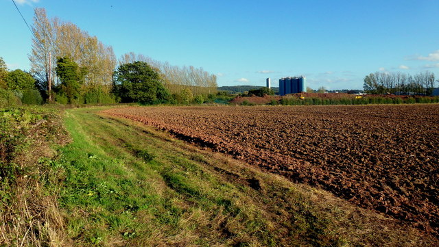
Malins' Wood is a picturesque forest located in the county of Herefordshire, England. Spanning approximately 300 acres, this woodland is a haven for nature enthusiasts and outdoor adventurers. It is situated in close proximity to the village of Kington, offering a tranquil escape from the hustle and bustle of everyday life.

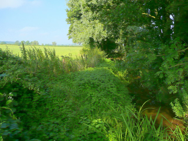
The wood is primarily composed of native deciduous trees such as oak, ash, and beech, which create a diverse and rich habitat for a variety of flora and fauna. The forest floor is adorned with a carpet of bluebells during the spring, adding a splash of color to the surroundings.

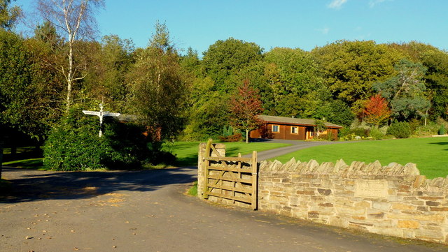
Malins' Wood is crisscrossed by a network of well-maintained footpaths, providing visitors with the opportunity to explore the area and immerse themselves in the natural beauty. There are also several designated picnic areas and benches strategically placed throughout the wood, allowing visitors to rest and take in the peaceful ambiance.

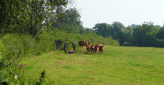
Wildlife enthusiasts will delight in the abundance of bird species that call Malins' Wood their home, including woodpeckers, nuthatches, and tawny owls. Foxes, badgers, and deer can also be spotted roaming the forest, adding to the sense of wilderness and untamed beauty.

Managed by the local council, Malins' Wood is open to the public throughout the year, free of charge. Whether it be for a leisurely stroll, a family picnic, or birdwatching, this enchanting woodland provides a serene and idyllic setting for all who visit.

If you have any feedback on the listing, please let us know in the comments section below.
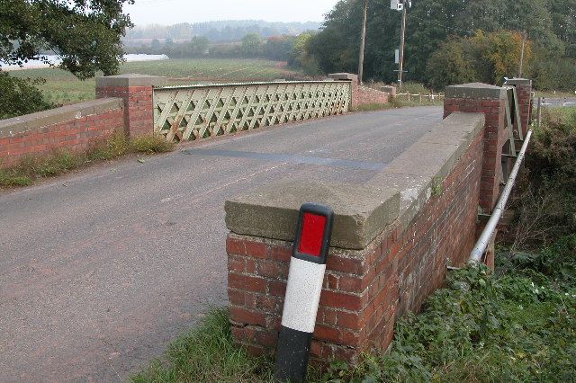
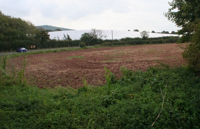
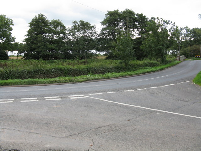
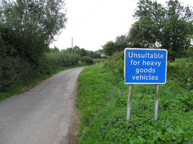
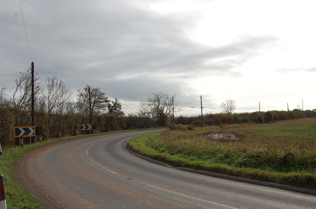
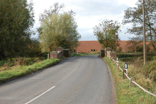
Malins' Wood Images

Images are sourced within 2km of 52.043681/-2.4485179 or Grid Reference SO6938. Thanks to Geograph Open Source API. All images are credited.

Bridge over the River Leadon Bridge over the River Leadon on the B4214, north of Ledbury.
Bridge over the River Leadon
Bridge over the River Leadon on the B4214, north of Ledbury.
Polytunnels,  North of Ledbury Taken from the <a href="https://www.geograph.org.uk/photo/66558">SO6940 : Bridge over the River Leadon</a>.
Polytunnels, North of Ledbury
Young cattle at Storesbrook In pasture to the east of the Plaistow Lane.
Young cattle at Storesbrook
In pasture to the east of the Plaistow Lane.
Stores Brook This small brook flows east from Munsley to meet the Leadon and then flow south-east to the Severn near Gloucester.
Stores Brook
This small brook flows east from Munsley to meet the Leadon and then flow south-east to the Severn near Gloucester.
Tight curve on the B4220 The Bromyard-Ledbury road flicks from one side of the River Leadon to the other by means of a narrow bridge and two sharp curves.  Taken from the junction on the western curve, polytunnels are visible in the distance - a subject of some local controversy.
Tight curve on the B4220
The Bromyard-Ledbury road flicks from one side of the River Leadon to the other by means of a narrow bridge and two sharp curves. Taken from the junction on the western curve, polytunnels are visible in the distance - a subject of some local controversy.
Unsuitable for HGVs A clear message at the entry to the lane to Plaistow Farm off the B4220 dissuades lorries from taking a short cut.
Unsuitable for HGVs
A clear message at the entry to the lane to Plaistow Farm off the B4220 dissuades lorries from taking a short cut.
Polytunnels near the road
Bridge over the Leadon Notice red coloured clay, so common in Herefordshire
Bridge over the Leadon
Notice red coloured clay, so common in Herefordshire
River Leadon Weir
River Leadon Weir
Leadon House Hotel
Leadon House Hotel
Entrance to Woodside Lodges, Falcon Lane Luxury scandinavian log cabins
Entrance to Woodside Lodges, Falcon Lane
Luxury scandinavian log cabins
Falcon Lane
Falcon Lane
Arable Fields, Ledbury
Autumn colour by the UBL factory A modern conversion of the old Robertson's jam factory on Little Marcle Road, Ledbury.
UBL process fruit as well as can and bottle beverages.
Autumn colour by the UBL factory
A modern conversion of the old Robertson's jam factory on Little Marcle Road, Ledbury. UBL process fruit as well as can and bottle beverages.
Open fields west of the UBL factory Arable land to the west of Ladbury.
UBL process fruit as well as can and bottle beverages.
Open fields west of the UBL factory
Arable land to the west of Ladbury. UBL process fruit as well as can and bottle beverages.
Apple harvest Taking picked fruit from orchard to Flights Farm just a few yards away.
The variety is Jazz and is being marketed to Marks & Spencers, apparently.
Apple harvest
Taking picked fruit from orchard to Flights Farm just a few yards away. The variety is Jazz and is being marketed to Marks & Spencers, apparently.
Freshly picked The variety is Jazz, grown at Flights Farm, see <a href="https://www.geograph.org.uk/photo/3181133">SO6837 : Apple harvest</a>.
Freshly picked
The variety is Jazz, grown at Flights Farm, see SO6837 : Apple harvest.
Woodside Lodges Holiday park between Falcon Lane and Wood near Ledbury.
Woodside Lodges
Holiday park between Falcon Lane and Wood near Ledbury.
Show me another place!

Malins' Wood is located at Grid Ref: SO6938 (Lat: 52.043681, Lng: -2.4485179)

Unitary Authority: County of Herefordshire

Police Authority: West Mercia

What 3 Words

///departure.welcome.empires. Near Ledbury, Herefordshire

Related Wikis

Herefordshire and Gloucestershire Canal

The Herefordshire and Gloucestershire Canal (sometimes known as the Hereford and Gloucester Canal) is a canal in the west of England, which ran from Hereford...

Hereford Road Skew Bridge

Hereford Road Skew Bridge is a disused railway bridge in Ledbury, Herefordshire. Built in 1881 to carry the Ledbury and Gloucester Railway across the Hereford...

Ledbury Town Halt railway station

Ledbury Town Halt was one of two stations serving the town of Ledbury. It was situated at the junction of Bridge Street and Bye Street, just to the north...

Ledbury Signal Box

Ledbury Signal Box is a typical Great Western Railway traditional lever frame signal box which remains in daily use at Ledbury Station, Herefordshire,...

Ledbury railway station

Ledbury railway station is located on the outskirts of the town of Ledbury, on the Worcester to Hereford line in the English Midlands. It has regular services...

Ledbury Tunnel

Ledbury Tunnel is a single-track railway tunnel immediately to the east of Ledbury railway station on the Cotswold Line, in Herefordshire, England. The...

Ledbury Town F.C.

Ledbury Town Football Club is a football club based in Ledbury, Herefordshire, England. They are currently members of the Herefordshire League Premier...

Ledbury Market Hall

Ledbury Market Hall, also known as Ledbury Town Hall, is a municipal building in the High Street in Ledbury, Herefordshire, England. The structure, which...

Nearby Amenities

Located within 500m of 52.043681,-2.4485179
Wall Hill
Natural: peak
Source: NPE
Lat/Long: 52.0429923/-2.4551796
Bus Stop
Tesco
Naptan AtcoCode: 2090A21237
Naptan Bearing: NE
Naptan CommonName: Tesco
Naptan Indicator: adj entrance
Naptan Landmark: Tesco
Naptan NaptanCode: herapwja
Naptan Street: Orchard Lane
Naptan Verified: no
Source: naptan_import
Lat/Long: 52.040905/-2.4468731
Communication Radio: yes
Man Made: mast
Tower Type: communication
Lat/Long: 52.0395656/-2.4465635
Radio Station
Power: pole
Transformer: distribution
Voltage Primary: 11000
Lat/Long: 52.0401282/-2.4466896
Power: pole
Lat/Long: 52.04374/-2.446764
Lower Wall Hills Farm
Location Transition: yes
Power: pole
Transformer: distribution
Voltage Primary: 11000
Lat/Long: 52.0434113/-2.4464931
Power: pole
Lat/Long: 52.0441563/-2.447397
Power: pole
Lat/Long: 52.0447673/-2.4482205
Power: pole
Lat/Long: 52.0451983/-2.4488139
Power: pole
Lat/Long: 52.0457658/-2.4495703
Power: pole
Lat/Long: 52.0461312/-2.4504226
Groves End
Power: pole
Transformer: distribution
Voltage Primary: 11000
Lat/Long: 52.0464743/-2.4512125
Power: pole
Lat/Long: 52.0469399/-2.452278
The data included in this document is from www.openstreetmap.org. The data is made available under ODbL.

Have you been to Malins' Wood?

Leave your review of Malins' Wood below (or comments, questions and feedback).