Say's Wood
Wood, Forest in Gloucestershire
England
Say's Wood

Say's Wood is a picturesque woodland located in the county of Gloucestershire, England. Covering an area of approximately 50 acres, it is a tranquil and secluded forest that offers visitors a peaceful retreat from the bustling city life.
The wood is named after the Say family, who were the original owners and custodians of the land for several generations. It is believed to have been under their care since the medieval period, making it a historically significant site.
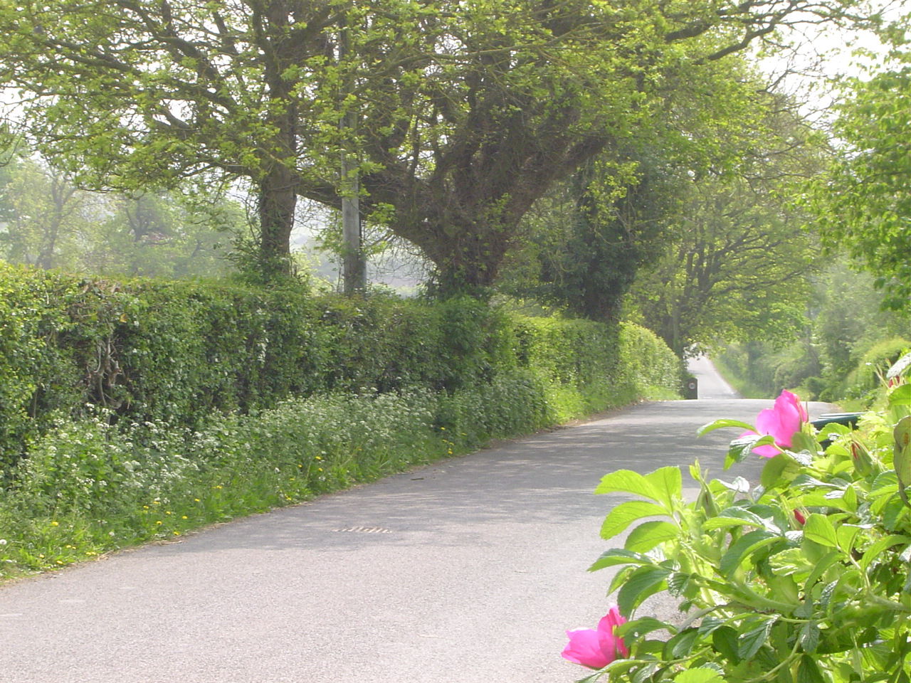
As visitors enter Say's Wood, they are greeted by a dense canopy of mature trees, predominantly consisting of oak, beech, and ash. The woodland floor is adorned with a vibrant array of wildflowers, including bluebells and primroses, adding to the natural beauty of the surroundings.
Numerous well-maintained footpaths wind their way through the forest, allowing visitors to explore the wood at their own pace. These paths are perfect for leisurely walks, jogging, or even cycling, providing ample opportunities to immerse oneself in the tranquility of nature.
The wood is also home to a diverse range of wildlife. Birdwatchers can spot various species of birds, including woodpeckers, owls, and thrushes. Squirrels can be seen darting between the trees, and if lucky, visitors might catch a glimpse of a shy deer or fox.
Say's Wood offers a peaceful haven for nature enthusiasts, families, and individuals seeking solace in the beauty of the natural world. With its rich history, stunning scenery, and abundant wildlife, it is a true gem nestled in the heart of Gloucestershire.
If you have any feedback on the listing, please let us know in the comments section below.
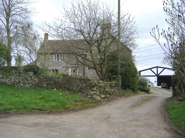
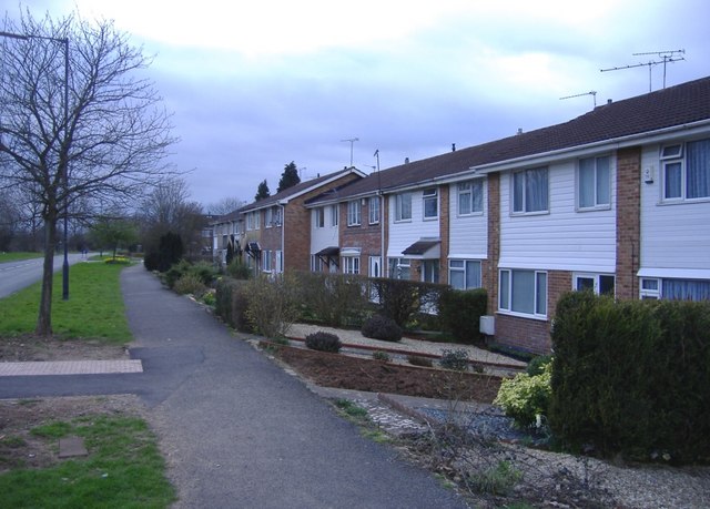
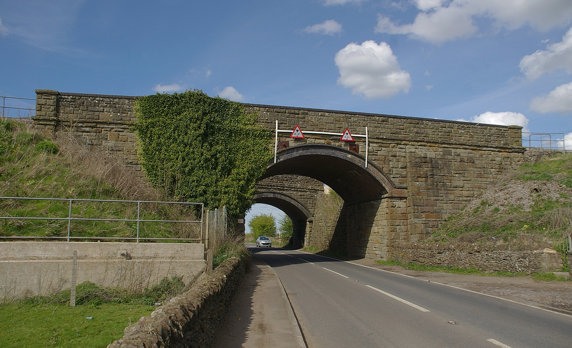
Say's Wood Images
Images are sourced within 2km of 51.526902/-2.4433037 or Grid Reference ST6980. Thanks to Geograph Open Source API. All images are credited.


Say's Wood is located at Grid Ref: ST6980 (Lat: 51.526902, Lng: -2.4433037)
Unitary Authority: South Gloucestershire
Police Authority: Avon and Somerset
What 3 Words
///comedy.shot.imperious. Near Yate, Gloucestershire
Nearby Locations
Related Wikis

Mayshill
Mayshill or Mays Hill is a hamlet located in the Parish of Westerleigh, South Gloucestershire, England. It is located just off the A432 (Badminton Road...
Westerleigh Junction
Westerleigh Junction is a railway junction in Gloucestershire, England, where the Cross Country Route (XCR) from York to Bristol Temple Meads meets the...
Ram Hill
Ram Hill is a hamlet in the civil parish of Westerleigh and Coalpit Heath, in the South Gloucestershire district, in the ceremonial county of Gloucestershire...
Nibley, South Gloucestershire
Nibley is a village in the parish of Westerleigh, South Gloucestershire, England; it is situated about 1.5 miles (2.4 km) west of Yate.The village of North...
Yate Park and Ride
Yate Park and Ride is a park and ride facility located off the A432 road on the edge of Yate. == History == Planning permission was approved in November...

Ram Hill Colliery
Ram Hill Colliery, (grid reference ST679803) was a privately owned colliery in the Coalpit Heath area north-east of Bristol, England. It operated between...
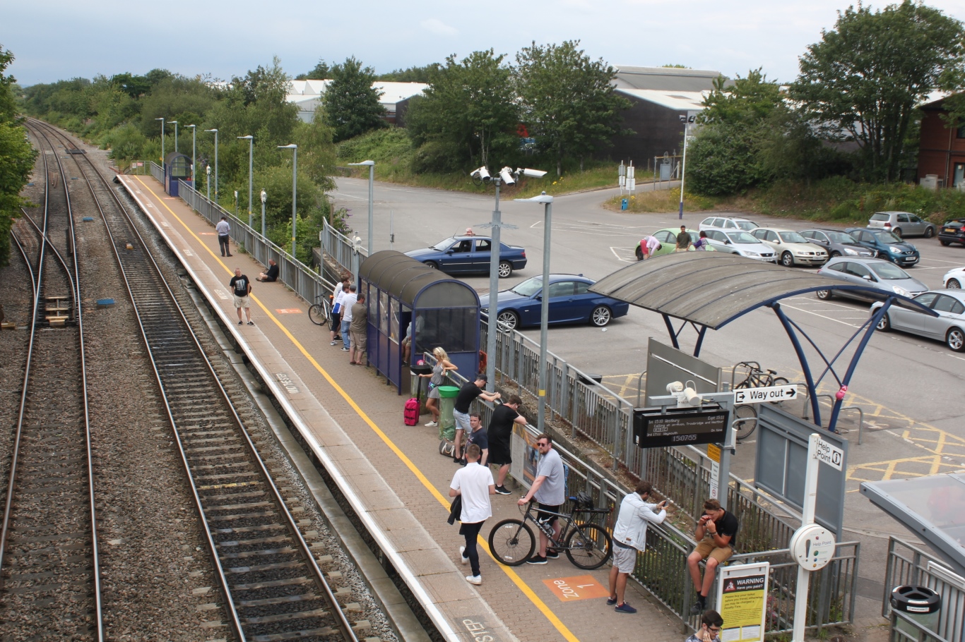
Yate railway station
Yate railway station serves the town of Yate in South Gloucestershire, in south west England. The station is located on the main Bristol to Birmingham...

Coalpit Heath railway station
Coalpit Heath railway station served the village of Coalpit Heath, South Gloucestershire, England from 1903 to 1961 on the South Wales Main Line. ��2...
Nearby Amenities
Located within 500m of 51.526902,-2.4433037Have you been to Say's Wood?
Leave your review of Say's Wood below (or comments, questions and feedback).