Summer Pole Wood

Wood, Forest in Herefordshire

England

Summer Pole Wood

Bridge over the River Leadon Bridge over the River Leadon on the B4214, north of Ledbury.
Bridge over the River Leadon Credit: Philip Halling

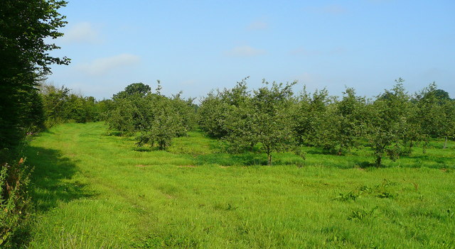
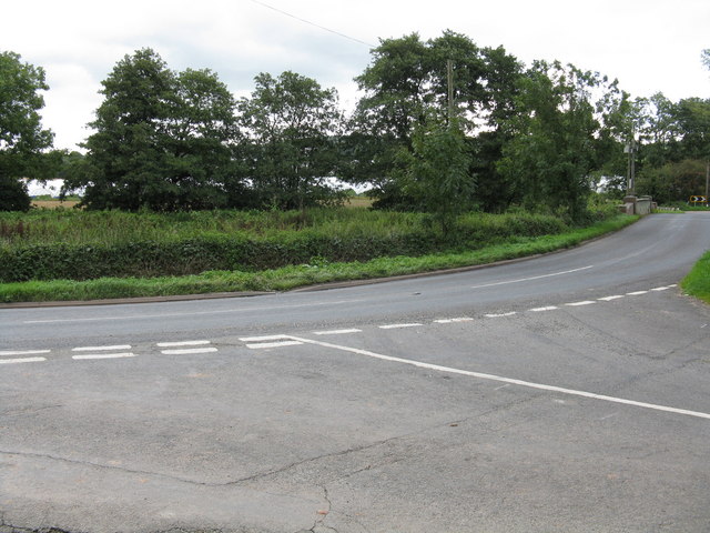
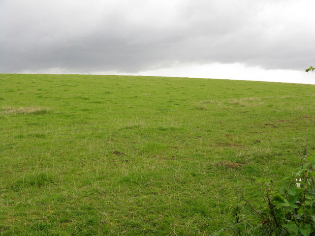
Summer Pole Wood is a picturesque forest located in Herefordshire, a county in the West Midlands region of England. Covering an area of approximately 50 hectares, the wood is known for its diverse range of tree species and its tranquil ambiance. It is situated about 3 miles southwest of the town of Hereford, making it easily accessible to locals and visitors alike.

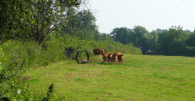
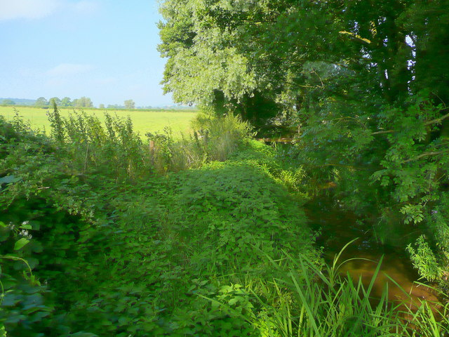
The wood is predominantly made up of broad-leaved trees, with oak, ash, and beech being the most common species. These trees create a dense canopy, providing a cool and shaded environment during the summer months. The forest floor is carpeted with vibrant wildflowers and ferns, adding to the natural beauty of the area.

Summer Pole Wood is crisscrossed with a network of well-maintained trails, making it a popular destination for walkers, hikers, and nature enthusiasts. These paths lead visitors through the heart of the forest, allowing them to experience the peacefulness and tranquility of the woodland. Along the way, there are several designated picnic spots and benches, providing opportunities for visitors to rest and soak in the surroundings.

The wood is also home to a variety of wildlife, including deer, squirrels, and a wide range of bird species. Birdwatchers can often spot woodpeckers, tits, and finches among the treetops. The forest also supports a diverse insect population, with butterflies and dragonflies being particularly abundant.

Overall, Summer Pole Wood is a hidden gem in Herefordshire, offering a peaceful retreat from the hustle and bustle of everyday life. Its natural beauty, diverse flora and fauna, and well-maintained trails make it a must-visit destination for nature lovers and outdoor enthusiasts.

If you have any feedback on the listing, please let us know in the comments section below.

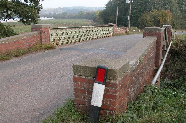
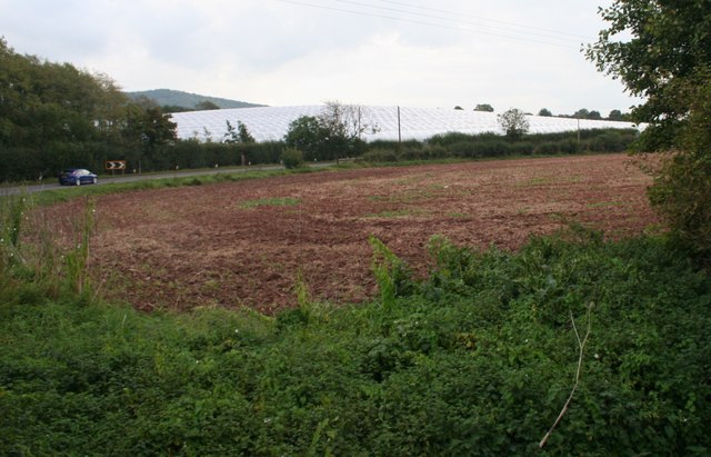
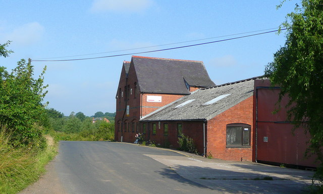
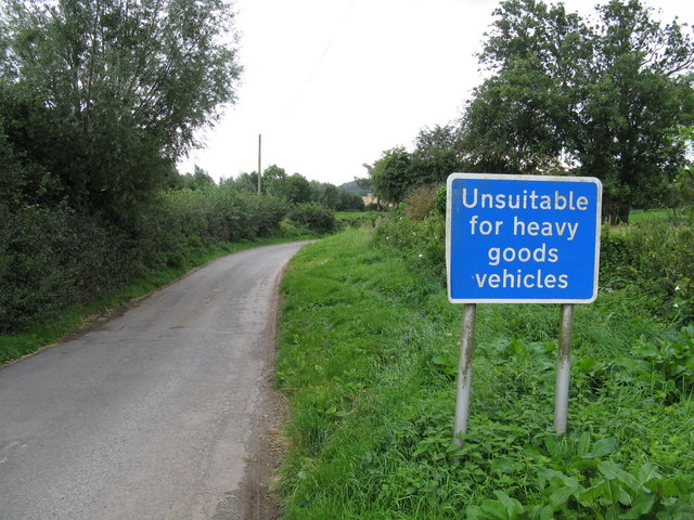
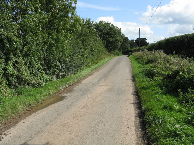
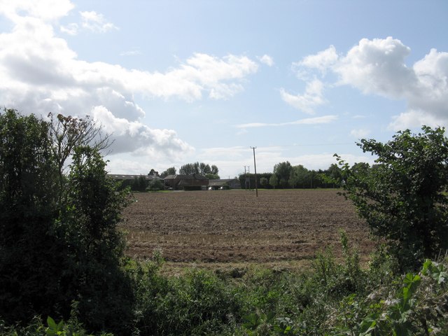
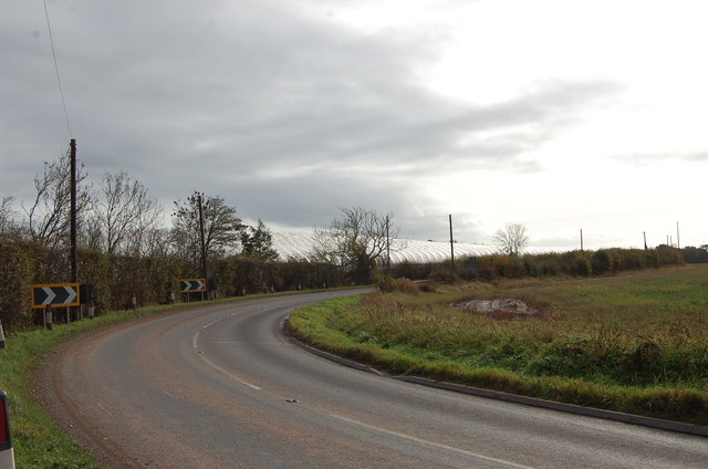
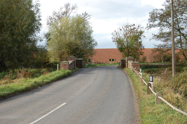
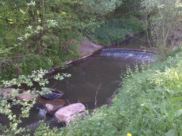
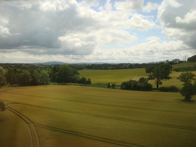
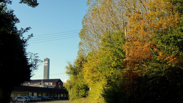
Summer Pole Wood Images

Images are sourced within 2km of 52.048229/-2.4534046 or Grid Reference SO6938. Thanks to Geograph Open Source API. All images are credited.

Bridge over the River Leadon Bridge over the River Leadon on the B4214, north of Ledbury.
Bridge over the River Leadon
Bridge over the River Leadon on the B4214, north of Ledbury.
Polytunnels,  North of Ledbury Taken from the <a href="https://www.geograph.org.uk/photo/66558">SO6940 : Bridge over the River Leadon</a>.
Polytunnels, North of Ledbury
Orchards west of Jug's Green Older apples here; probably eating, not cider, judging by the spacing.
Orchards west of Jug's Green
Older apples here; probably eating, not cider, judging by the spacing.
Buildings at Jug's Green Look to have been converted to offices; currently to let.
Buildings at Jug's Green
Look to have been converted to offices; currently to let.
Young cattle at Storesbrook In pasture to the east of the Plaistow Lane.
Young cattle at Storesbrook
In pasture to the east of the Plaistow Lane.
Stores Brook This small brook flows east from Munsley to meet the Leadon and then flow south-east to the Severn near Gloucester.
Stores Brook
This small brook flows east from Munsley to meet the Leadon and then flow south-east to the Severn near Gloucester.
Tight curve on the B4220 The Bromyard-Ledbury road flicks from one side of the River Leadon to the other by means of a narrow bridge and two sharp curves.  Taken from the junction on the western curve, polytunnels are visible in the distance - a subject of some local controversy.
Tight curve on the B4220
The Bromyard-Ledbury road flicks from one side of the River Leadon to the other by means of a narrow bridge and two sharp curves. Taken from the junction on the western curve, polytunnels are visible in the distance - a subject of some local controversy.
Hillside by the B4220
Unsuitable for HGVs A clear message at the entry to the lane to Plaistow Farm off the B4220 dissuades lorries from taking a short cut.
Unsuitable for HGVs
A clear message at the entry to the lane to Plaistow Farm off the B4220 dissuades lorries from taking a short cut.
Country lane near Marley Hall
Marley Hall's fields
Polytunnels near the road
Bridge over the Leadon Notice red coloured clay, so common in Herefordshire
Bridge over the Leadon
Notice red coloured clay, so common in Herefordshire
River Leadon Weir
River Leadon Weir
Entrance to Woodside Lodges, Falcon Lane Luxury scandinavian log cabins
Entrance to Woodside Lodges, Falcon Lane
Luxury scandinavian log cabins
Falcon Lane
Falcon Lane
Arable Fields, Ledbury
Autumn colour by the UBL factory A modern conversion of the old Robertson's jam factory on Little Marcle Road, Ledbury.
UBL process fruit as well as can and bottle beverages.
Autumn colour by the UBL factory
A modern conversion of the old Robertson's jam factory on Little Marcle Road, Ledbury. UBL process fruit as well as can and bottle beverages.
Show me another place!

Summer Pole Wood is located at Grid Ref: SO6938 (Lat: 52.048229, Lng: -2.4534046)

Unitary Authority: County of Herefordshire

Police Authority: West Mercia

What 3 Words

///repaying.return.pits. Near Ledbury, Herefordshire

Related Wikis

Herefordshire and Gloucestershire Canal

The Herefordshire and Gloucestershire Canal (sometimes known as the Hereford and Gloucester Canal) is a canal in the west of England, which ran from Hereford...

Hereford Road Skew Bridge

Hereford Road Skew Bridge is a disused railway bridge in Ledbury, Herefordshire. Built in 1881 to carry the Ledbury and Gloucester Railway across the Hereford...

Ledbury Signal Box

Ledbury Signal Box is a typical Great Western Railway traditional lever frame signal box which remains in daily use at Ledbury Station, Herefordshire,...

Ledbury railway station

Ledbury railway station is located on the outskirts of the town of Ledbury, on the Worcester to Hereford line in the English Midlands. It has regular services...

Ledbury Town Halt railway station

Ledbury Town Halt was one of two stations serving the town of Ledbury. It was situated at the junction of Bridge Street and Bye Street, just to the north...

Ledbury Tunnel

Ledbury Tunnel is a single-track railway tunnel immediately to the east of Ledbury railway station on the Cotswold Line, in Herefordshire, England. The...

Wellington Heath

Wellington Heath is a small village and civil parish in Herefordshire, England, approximately 1.5 miles (2.4 km) north of Ledbury. The population was recorded...

Ledbury Market Hall

Ledbury Market Hall, also known as Ledbury Town Hall, is a municipal building in the High Street in Ledbury, Herefordshire, England. The structure, which...

Nearby Amenities

Located within 500m of 52.048229,-2.4534046
Baynham's Farm
Naptan AtcoCode: 2090A028648
Naptan Bearing: NE
Naptan BusStopType: CUS
Naptan CommonName: Baynham's Farm
Naptan Indicator: opp
Naptan Landmark: N/K
Naptan NaptanCode: heratapd
Naptan Street: Hereford Road
Naptan Verified: no
Source: naptan_import
Lat/Long: 52.0505537/-2.4590722
Baynham's Farm
Naptan AtcoCode: 2090A028650
Naptan Bearing: SW
Naptan BusStopType: CUS
Naptan CommonName: Baynham's Farm
Naptan Indicator: adj
Naptan Landmark: N/K
Naptan NaptanCode: heratapg
Naptan Street: Hereford Road
Naptan Verified: no
Source: naptan_import
Lat/Long: 52.0503918/-2.4590851
Power: pole
Lat/Long: 52.0503729/-2.4559855
Power: pole
Lat/Long: 52.0484307/-2.4604827
Power: pole
Lat/Long: 52.0497607/-2.4470732
Power: pole
Lat/Long: 52.051882/-2.4536552
Power: pole
Lat/Long: 52.0489464/-2.4581704
Power: pole
Lat/Long: 52.0510653/-2.4549365
Power: pole
Lat/Long: 52.0513534/-2.4513654
Power: pole
Lat/Long: 52.0495837/-2.4571691
Power: pole
Lat/Long: 52.051899/-2.4529002
Power: pole
Lat/Long: 52.0505389/-2.4492215
Power: pole
Lat/Long: 52.0513252/-2.4485779
Power: pole
Lat/Long: 52.0516749/-2.4500027
Power: pole
Lat/Long: 52.0520064/-2.4513668
Power: pole
Lat/Long: 52.0504749/-2.4594408
Power: pole
Lat/Long: 52.0506893/-2.4587005
Power: pole
Lat/Long: 52.0510274/-2.4574104
Baynham's Farm Hops
Power: pole
Transformer: distribution
Voltage Primary: 11000
Lat/Long: 52.0515355/-2.4567345
Power: pole
Lat/Long: 52.0526208/-2.4538699
Power: pole
Lat/Long: 52.0522884/-2.4525234
Power: pole
Lat/Long: 52.0520018/-2.456082
Power: pole
Lat/Long: 52.0523264/-2.4556321
Power: pole
Lat/Long: 52.0451983/-2.4488139
Power: pole
Lat/Long: 52.0457658/-2.4495703
Power: pole
Lat/Long: 52.0461312/-2.4504226
Groves End
Power: pole
Transformer: distribution
Voltage Primary: 11000
Lat/Long: 52.0464743/-2.4512125
Power: pole
Lat/Long: 52.0469399/-2.452278
Power: pole
Lat/Long: 52.0472777/-2.4530552
Power: pole
Lat/Long: 52.047728/-2.4540952
Power: pole
Lat/Long: 52.0481796/-2.4550956
Location Transition: yes
Power: pole
Lat/Long: 52.0489569/-2.4560042
Baynham's Farm
Location Transition: yes
Power: pole
Lat/Long: 52.0504679/-2.4584142
The data included in this document is from www.openstreetmap.org. The data is made available under ODbL.

Have you been to Summer Pole Wood?

Leave your review of Summer Pole Wood below (or comments, questions and feedback).