Stowell Wood
Wood, Forest in Somerset South Somerset
England
Stowell Wood
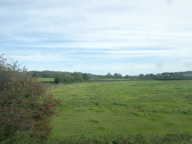
Stowell Wood, located in Somerset, England, is a captivating forest that stretches across an area of approximately 100 hectares. Situated in the picturesque countryside, this woodland offers a tranquil and serene escape from the hustle and bustle of everyday life.
The forest is predominantly composed of broadleaf trees, including oak, beech, and chestnut, creating a stunning tapestry of colors during the autumn season. The dense canopy provides a natural shelter for a diverse range of wildlife, such as deer, badgers, and an array of bird species.
Visitors to Stowell Wood can explore a network of well-maintained footpaths and trails, allowing them to immerse themselves in the beauty of nature. These paths lead through enchanting glades, where sunlight filters through the trees, creating a magical ambiance.
For those interested in the history of the area, Stowell Wood has a rich past. It was originally part of an ancient royal hunting forest, dating back to medieval times, and remnants of this history can still be seen today. The forest has been carefully managed over the years to preserve its natural beauty and protect its ecological importance.
Stowell Wood is a popular destination for nature enthusiasts, photographers, and those seeking a peaceful retreat. Whether it's a leisurely stroll, a picnic amongst the trees, or simply soaking in the tranquility, this woodland offers a delightful experience for all who venture within its boundaries.
If you have any feedback on the listing, please let us know in the comments section below.
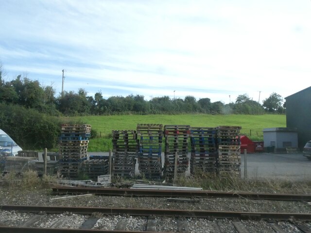
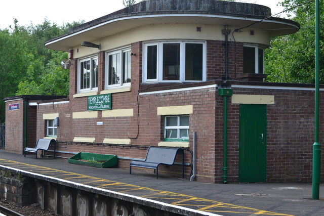
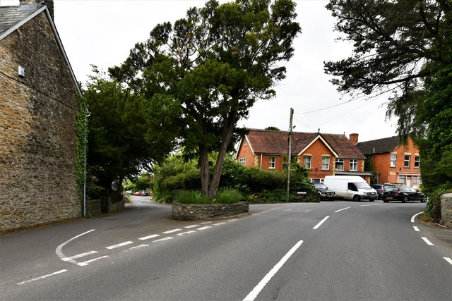
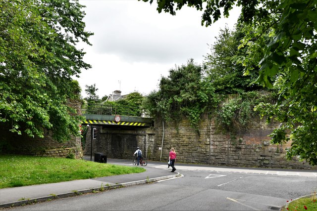
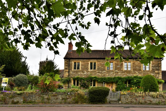
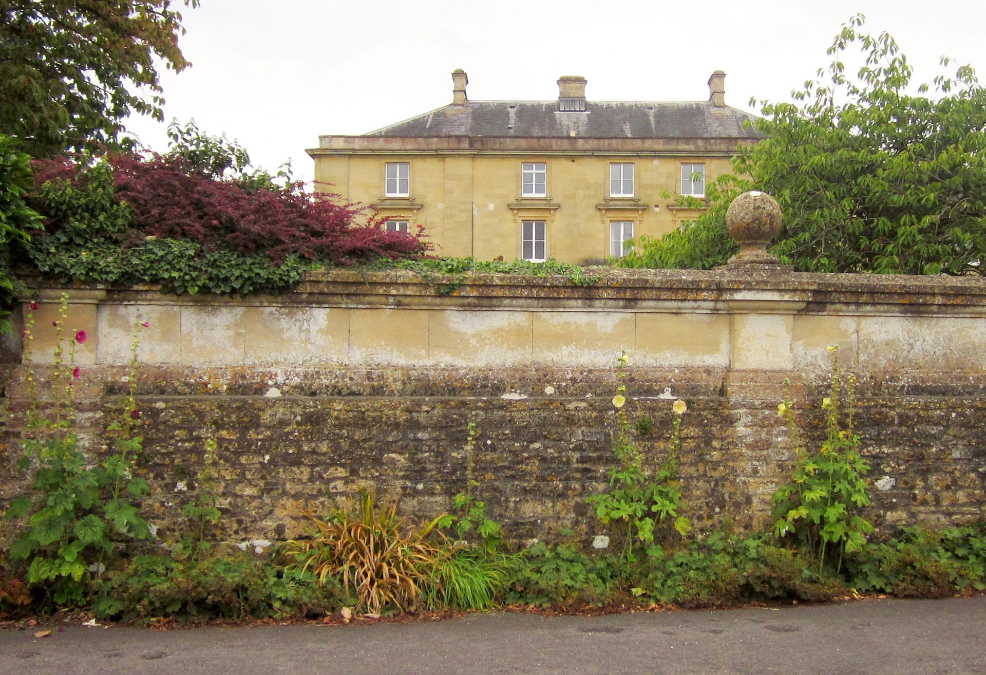
Stowell Wood Images
Images are sourced within 2km of 50.998707/-2.4416688 or Grid Reference ST6922. Thanks to Geograph Open Source API. All images are credited.


Stowell Wood is located at Grid Ref: ST6922 (Lat: 50.998707, Lng: -2.4416688)
Administrative County: Somerset
District: South Somerset
Police Authority: Avon and Somerset
What 3 Words
///flop.gratuity.duet. Near Templecombe, Somerset
Nearby Locations
Related Wikis

Laycock Railway Cutting
Laycock Railway Cutting (grid reference ST678213) is a 1.3 hectare geological Site of Special Scientific Interest near Milborne Port in Somerset, notified...

Templecombe Preceptory
Templecombe Preceptory (or Combe Templariorum) was established in 1185 in Templecombe, Somerset, England. One of the manors within the parish was held...

Abbas Combe
Abbas Combe is a village in the civil parish of Abbas and Templecombe, in the county of Somerset, England. It is situated on the A357 road beside Templecombe...

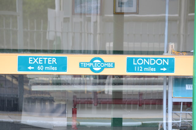
Templecombe railway station
Templecombe railway station serves the town of Templecombe in Somerset, England. It is situated on the West of England Main Line, 112 miles 2 chains (180...

Church of St Mary, Abbas and Templecombe
The Anglican Church of St Mary at Templecombe, within the English county of Somerset, was built in the 12th century and is a Grade II* listed building...

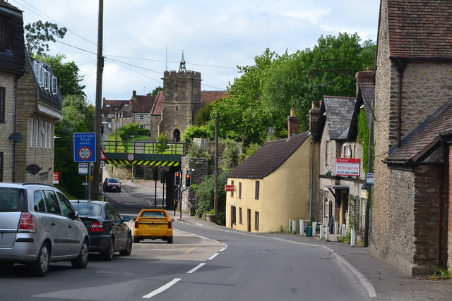
Templecombe
Templecombe is a village in Somerset, England, situated on the A357 road five miles south of Wincanton, 12 miles (19 km) east of Yeovil, and 30 miles...
Horsington House
Horsington House is a country house in Horsington, near Templecombe in Somerset. It is a stone-built house with pillared porch, built in 1839. It is a...

Horsington, Somerset
Horsington is a village and Civil parish in Somerset, England, situated 4 miles (6.4 km) south of Wincanton and 1 mile (1.6 km) north of Templecombe in...
Have you been to Stowell Wood?
Leave your review of Stowell Wood below (or comments, questions and feedback).