Barn Shrubbery

Wood, Forest in Somerset South Somerset

England

Barn Shrubbery

Chancel, St Mary's Church, Bruton
Chancel, St Mary's Church, Bruton Credit: nick macneill

Barn Shrubbery, located in Somerset, is a picturesque wood and forest area that spans approximately 200 acres. It is a popular destination for nature lovers, hikers, and birdwatchers alike, offering a serene and tranquil environment for visitors to enjoy.

The wood is characterized by its dense and diverse vegetation, consisting of a wide variety of shrubs, trees, and plants. Oak, beech, and birch trees dominate the landscape, creating a lush canopy that provides shade during the summer months. The forest floor is adorned with wildflowers, ferns, and mosses, adding to the area's natural beauty.

Barn Shrubbery is home to a rich array of wildlife, making it a haven for nature enthusiasts. Visitors can spot a range of bird species, including woodpeckers, owls, and various songbirds. Mammals such as foxes, badgers, and deer also inhabit the area, often seen roaming through the woodlands.

Several walking trails wind their way through the wood, offering visitors the opportunity to explore its hidden gems. These well-maintained paths provide access to the different sections of the forest, allowing visitors to enjoy the varied scenery and discover secluded spots for relaxation or picnics.

In addition to its natural beauty, Barn Shrubbery also plays an important role in the local ecosystem. The wood acts as a carbon sink, helping to mitigate the impact of climate change, and provides a valuable habitat for many species of flora and fauna.

Barn Shrubbery, Somerset is a cherished natural gem, inviting visitors to immerse themselves in the beauty of nature while enjoying the tranquility and serenity it offers.

If you have any feedback on the listing, please let us know in the comments section below.

Barn Shrubbery Images

Images are sourced within 2km of 51.094695/-2.4426117 or Grid Reference ST6932. Thanks to Geograph Open Source API. All images are credited.

Chancel, St Mary's Church, Bruton
Shepton Montague: Church of Saint Peter The Parish Church of Saint Peter has 13th century origins and has been designated as a Grade II listed building. It was seriously damaged by a fire in 1964 and restored two years later.
Shepton Montague: Church of Saint Peter
The Parish Church of Saint Peter has 13th century origins and has been designated as a Grade II listed building. It was seriously damaged by a fire in 1964 and restored two years later.
Stoney Stoke: Entrance to Knowlerock Farm
Stoney Stoke: View towards Redlynch View north-west, through a hedge, across fields towards Redlynch
Stoney Stoke: View towards Redlynch
View north-west, through a hedge, across fields towards Redlynch
St Mary's church, Bruton - Berkeley tomb In the chancel are the recumbent effigies of Sir Maurice Berkeley of Bruton, flanked on either side by his two wives. The stone tomb-chest has strapwork panels below hidden by the seating, and cartouches at the back of the recess. Sir Maurice died in 1581, his first wife Catherine in 1559, and Elizabeth his second wife in 1585.
St Mary's church, Bruton - Berkeley tomb
In the chancel are the recumbent effigies of Sir Maurice Berkeley of Bruton, flanked on either side by his two wives. The stone tomb-chest has strapwork panels below hidden by the seating, and cartouches at the back of the recess. Sir Maurice died in 1581, his first wife Catherine in 1559, and Elizabeth his second wife in 1585.
St Mary's church, Bruton - Berkeley tomb (detail)
St Mary's church, Bruton - monument to William Godolphin Set within an oval niche is an impressive bronze bust of William Godolphin in armour (†1636) that has been attributed to Hubert Le Suer.
St Mary's church, Bruton - monument to William Godolphin
Set within an oval niche is an impressive bronze bust of William Godolphin in armour (†1636) that has been attributed to Hubert Le Suer.
St Mary's church, Bruton - monument to William Godolphin (detail)
St Mary's church, Bruton - Royal Arms of Charles II The colourful coat of arms of Charles II.
St Mary's church, Bruton - Royal Arms of Charles II
The colourful coat of arms of Charles II.
St Mary's church, Bruton - interior The view east towards the chancel.
St Mary's church, Bruton - interior
The view east towards the chancel.
St Mary's church, Bruton - interior (2) The chancel dates from a rebuild of 1743.
St Mary's church, Bruton - interior (2)
The chancel dates from a rebuild of 1743.
St Mary's church, Bruton Described by Pevsner as 'One of the proudest churches of East Somerset' it dates from the C14. Its very fine tower of over 100 feet was added in the late C15.
St Mary's church, Bruton
Described by Pevsner as 'One of the proudest churches of East Somerset' it dates from the C14. Its very fine tower of over 100 feet was added in the late C15.
Bruton Railway Station
Benchmark on railway bridge over B3081 Ordnance Survey cut mark benchmark described on the Bench Mark Database at <span class="nowrap"><a title="http://www.bench-marks.org.uk/bm45518" rel="nofollow ugc noopener" href="http://www.bench-marks.org.uk/bm45518">Link</a><img style="margin-left:2px;" alt="External link" title="External link - shift click to open in new window" src="https://s1.geograph.org.uk/img/external.png" width="10" height="10"/></span>
Benchmark on railway bridge over B3081
Ordnance Survey cut mark benchmark described on the Bench Mark Database at LinkExternal link
Railway bridge over the B3081 There is an OS benchmark <a href="https://www.geograph.org.uk/photo/3164788">ST6834 : Benchmark on railway bridge over B3081</a> on the bridge, below the yellow and black stripes on the right hand side of the arch
Railway bridge over the B3081
There is an OS benchmark ST6834 : Benchmark on railway bridge over B3081 on the bridge, below the yellow and black stripes on the right hand side of the arch
Benchmark on railway bridge over Cole Road Ordnance Survey cut mark benchmark described on the Bench Mark Database at <span class="nowrap"><a title="http://www.bench-marks.org.uk/bm45521" rel="nofollow ugc noopener" href="http://www.bench-marks.org.uk/bm45521">Link</a><img style="margin-left:2px;" alt="External link" title="External link - shift click to open in new window" src="https://s1.geograph.org.uk/img/external.png" width="10" height="10"/></span>
Benchmark on railway bridge over Cole Road
Ordnance Survey cut mark benchmark described on the Bench Mark Database at LinkExternal link
Railway bridge 126.54 over the A359 There is an OS benchmark <a href="https://www.geograph.org.uk/photo/3164840">ST6734 : Benchmark on railway bridge over Cole Road</a> at the bottom of the bridge pier set in the pavement on the left side of the road.
Railway bridge 126.54 over the A359
There is an OS benchmark ST6734 : Benchmark on railway bridge over Cole Road at the bottom of the bridge pier set in the pavement on the left side of the road.
Benchmark on St Mary's Church Buttress Ordnance Survey cut mark benchmark described on the Bench Mark Database at <span class="nowrap"><a title="http://www.bench-marks.org.uk/bm45515" rel="nofollow ugc noopener" href="http://www.bench-marks.org.uk/bm45515">Link</a><img style="margin-left:2px;" alt="External link" title="External link - shift click to open in new window" src="https://s1.geograph.org.uk/img/external.png" width="10" height="10"/></span>
Benchmark on St Mary's Church Buttress
Ordnance Survey cut mark benchmark described on the Bench Mark Database at LinkExternal link
Show me another place!

Barn Shrubbery is located at Grid Ref: ST6932 (Lat: 51.094695, Lng: -2.4426117)

Administrative County: Somerset

District: South Somerset

Police Authority: Avon and Somerset

What 3 Words

///develops.exploring.respects. Near Redlynch, Somerset

Related Wikis

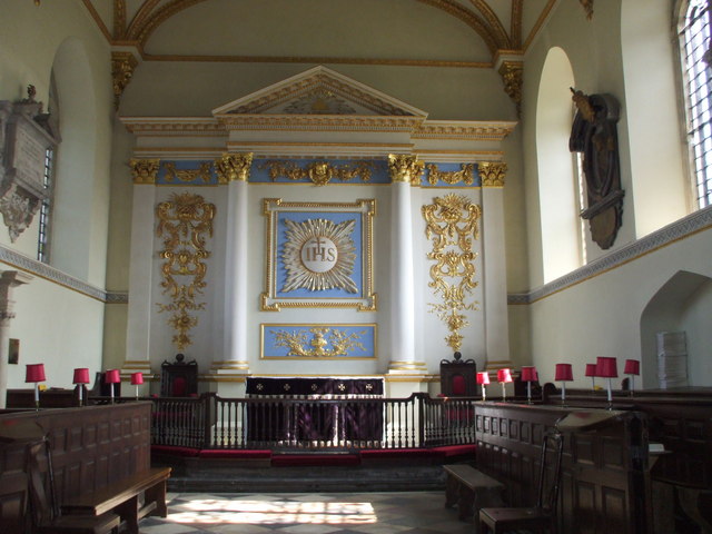
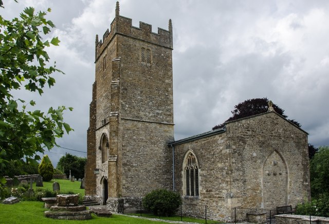
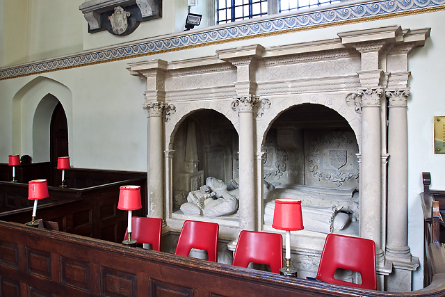
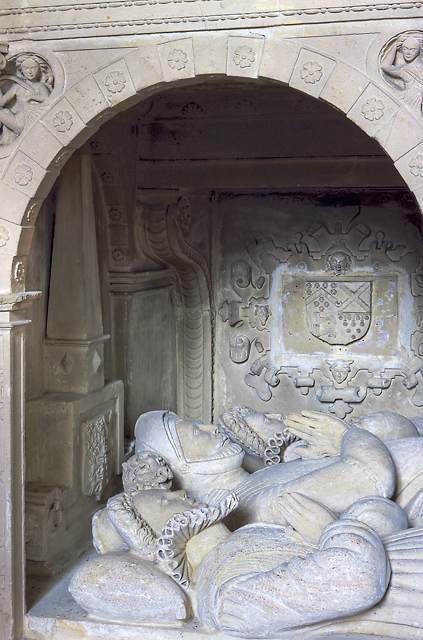
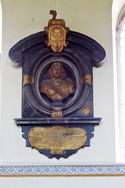
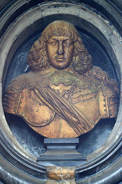
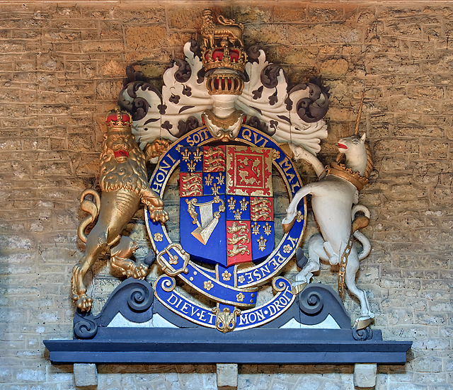
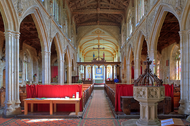
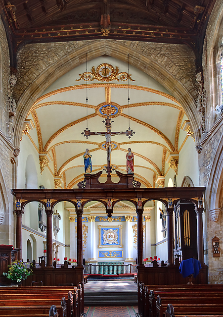
Church of St Peter, Redlynch

The Anglican Church of St Peter in Redlynch, Somerset, England was built in about 1750. It is a Grade II* listed building. == History == The church was...

Shepton Montague Railway Cutting

Shepton Montague Railway Cutting (grid reference ST686316) is a 1.61 hectare geological Site of Special Scientific Interest at Shepton Montague in Somerset...
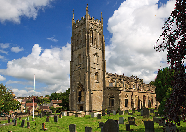
Redlynch, Somerset

Redlynch is a village and former manor in the civil parish of Bruton, in the South Somerset district of Somerset, England. The 18th-century church and...
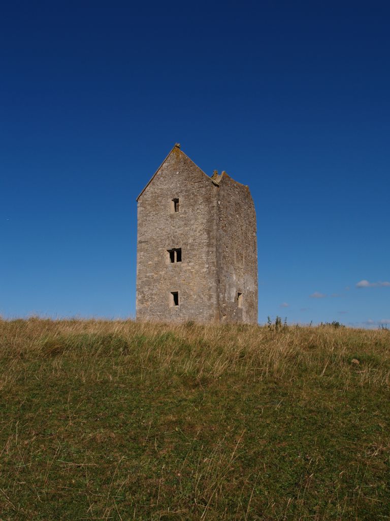
Bruton Dovecote

The Bruton Dovecote is a limestone tower that was built between the 15th and 17th century in Bruton in the English county of Somerset. The structure was...

Pitcombe

Pitcombe is a village and civil parish 1 mile (2 km) south-west of Bruton and 5 miles (8 km) from Wincanton in Somerset, England. It has a population of...

Godminster Lane Quarry and Railway Cutting

Godminster Lane Quarry and Railway Cutting (grid reference ST682345) is a 0.8 hectare geological Site of Special Scientific Interest at Pitcombe in Somerset...
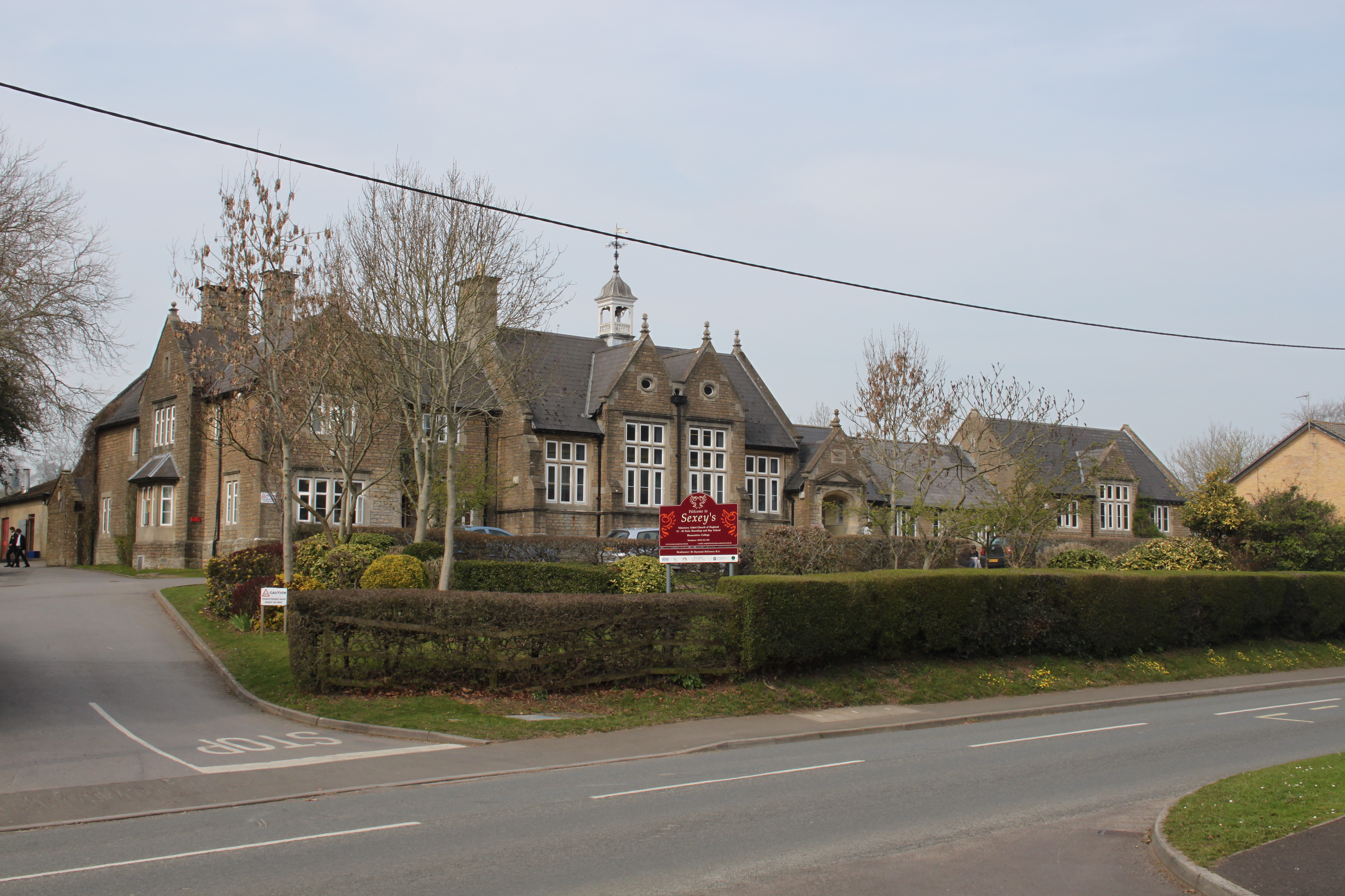
Sexey's School

Sexey's School is a Church of England, co-educational state boarding and day school in Bruton, Somerset, England for 11-18 year olds. Sexey's School is...

Bruton School for Girls

Bruton School for Girls was an independent day and boarding school for girls aged 2 to 18, near Pitcombe in Bruton in south east Somerset, England. By...

Nearby Amenities

Located within 500m of 51.094695,-2.4426117
The data included in this document is from www.openstreetmap.org. The data is made available under ODbL.

Have you been to Barn Shrubbery?

Leave your review of Barn Shrubbery below (or comments, questions and feedback).