Brickbarns Coppice
Wood, Forest in Worcestershire Malvern Hills
England
Brickbarns Coppice

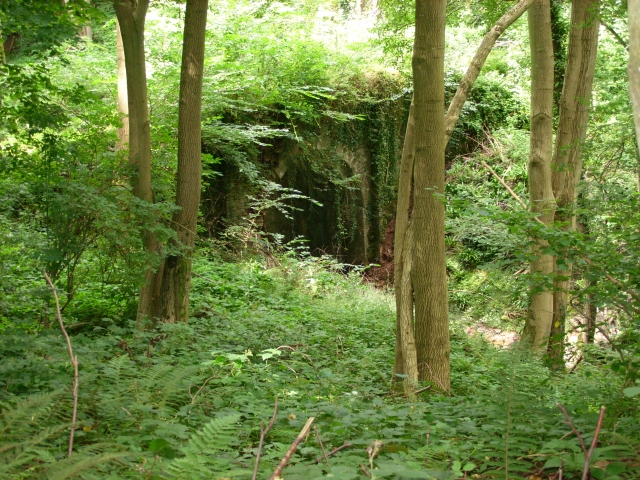
Brickbarns Coppice is a picturesque woodland area located in Worcestershire, England. Covering an area of approximately 100 acres, this ancient forest is renowned for its natural beauty and diverse range of flora and fauna.
The coppice is predominantly composed of oak and beech trees, creating a dense and lush canopy that provides a haven for various wildlife species. Walking through the forest, visitors can admire the towering trees, their branches intertwined and forming a peaceful and serene atmosphere.
The forest floor is carpeted with a rich tapestry of wildflowers, including bluebells, primroses, and wood anemones, which bloom in vibrant hues during the spring months. This creates a stunning contrast against the green foliage, attracting photographers and nature enthusiasts.
Brickbarns Coppice is home to a variety of animal species, including foxes, badgers, and an array of birdlife. Birdwatchers can spot species such as woodpeckers, tawny owls, and various songbirds, making it an ideal location for birdwatching enthusiasts.
The woodland is crisscrossed by a network of walking trails, allowing visitors to explore the forest at their own pace. These trails lead to charming clearings and secluded spots, perfect for picnics or simply taking a moment to appreciate the tranquility of nature.
For those interested in the history of the coppice, there are remnants of old brick kilns and charcoal pits scattered throughout the woodland, providing a glimpse into its past as a source of fuel and building materials.
Overall, Brickbarns Coppice offers a peaceful and enchanting escape from the hustle and bustle of daily life, allowing visitors to immerse themselves in the beauty of nature and connect with the rich history of Worcestershire's woodlands.
If you have any feedback on the listing, please let us know in the comments section below.
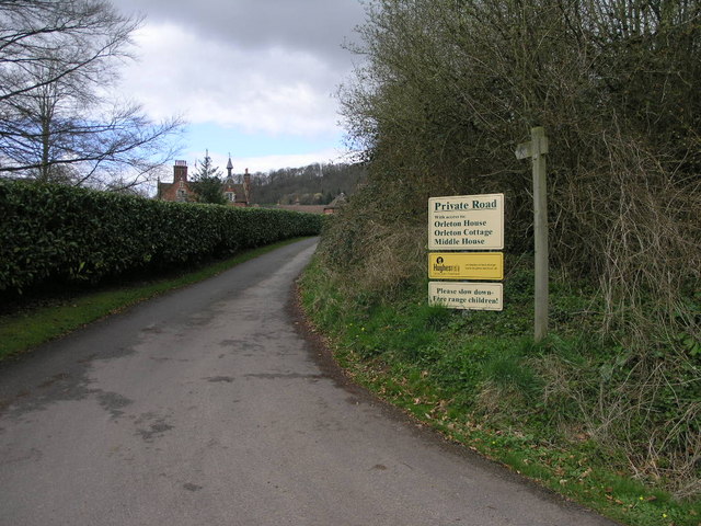
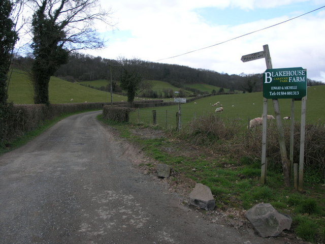
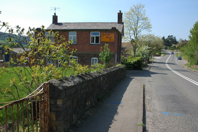
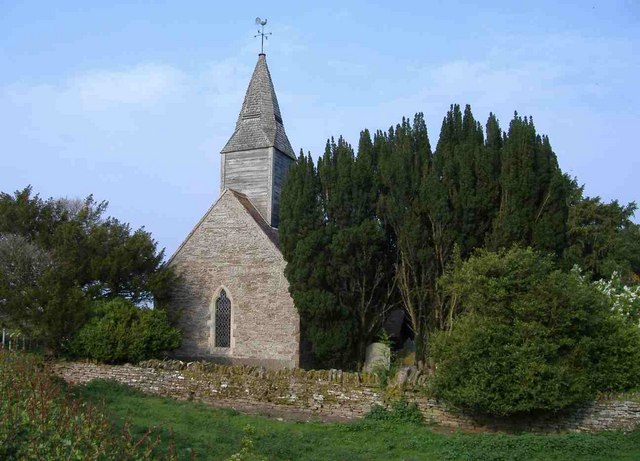
Brickbarns Coppice Images
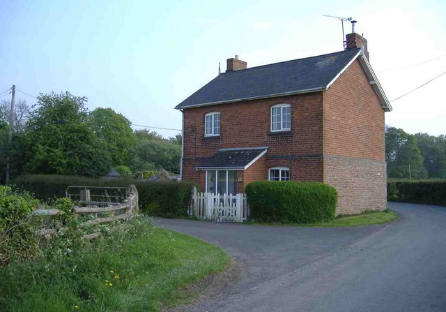
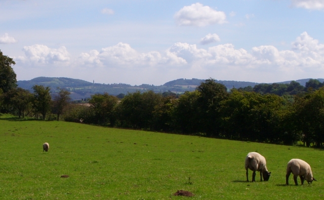
Images are sourced within 2km of 52.295644/-2.4544474 or Grid Reference SO6966. Thanks to Geograph Open Source API. All images are credited.


Brickbarns Coppice is located at Grid Ref: SO6966 (Lat: 52.295644, Lng: -2.4544474)
Administrative County: Worcestershire
District: Malvern Hills
Police Authority: West Mercia
What 3 Words
///sparrows.prevents.pickle. Near Collington, Herefordshire
Nearby Locations
Related Wikis

Stanford on Teme
Stanford on Teme is a village and former civil parish, now in the parish of Stanford with Orleton, in the Malvern Hills district, in the county of Worcestershire...

Hanley William
Hanley William is a village and former civil parish, now in the parish of Hanley, in the Malvern Hills district, in the county of Worcestershire, England...

Eardiston
Eardiston is a village in Worcestershire, England. The village of Eardiston lies in the valley of the river Teme between Great Witley and Tenbury Wells...

Hanley, Worcestershire
Hanley is a civil parish in the district of Malvern Hills in the county of Worcestershire, England. Hanley William and Hanley Child are places within the...
Nearby Amenities
Located within 500m of 52.295644,-2.4544474Have you been to Brickbarns Coppice?
Leave your review of Brickbarns Coppice below (or comments, questions and feedback).