Cotton of Brighty

Settlement in Angus

Scotland

Cotton of Brighty

Minor road at Shielhill Looking westward.
Minor road at Shielhill Credit: Peter Wood

Cotton of Brighty is a small village located in the county of Angus, Scotland. Situated in the eastern part of the country, it is nestled amidst the picturesque landscapes of the Angus Glens. The village is known for its rural charm and tranquility, making it an ideal destination for those seeking a peaceful retreat.

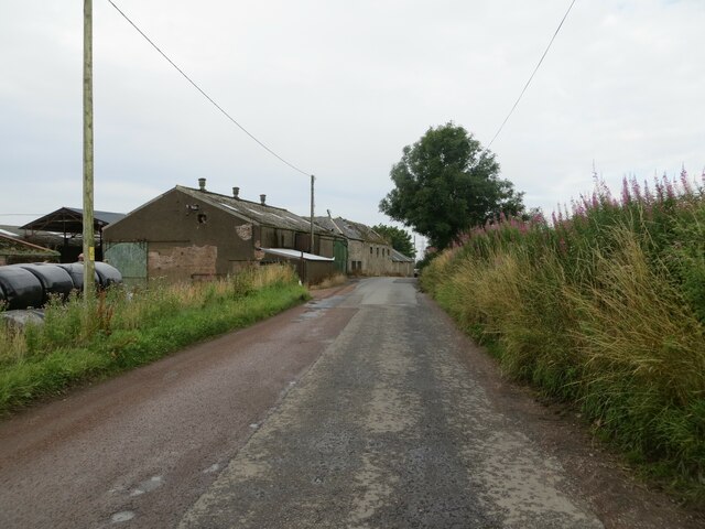
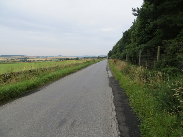
Cotton of Brighty is characterized by its traditional stone cottages and historic buildings, which give it a distinct old-world charm. The village is surrounded by rolling hills and lush green fields, offering breathtaking views of the countryside. It is also home to a small stream that meanders through the village, adding to its idyllic setting.

Despite its small size, Cotton of Brighty boasts a close-knit community of friendly and welcoming residents. The village has a strong sense of community spirit, with various social events and gatherings organized throughout the year. Local amenities include a village hall, a small church, and a community center, which serve as focal points for community activities.

The surrounding area offers plenty of opportunities for outdoor enthusiasts, with numerous hiking and cycling trails that allow visitors to explore the stunning Angus Glens. The village is also within easy reach of several notable attractions, including the renowned Glamis Castle and the charming town of Kirriemuir, birthplace of famous author J.M. Barrie.

In conclusion, Cotton of Brighty is a charming and peaceful village in Angus, Scotland, offering a tranquil escape from the hustle and bustle of city life. Its natural beauty, friendly community, and proximity to various attractions make it an appealing destination for both locals and visitors alike.

If you have any feedback on the listing, please let us know in the comments section below.

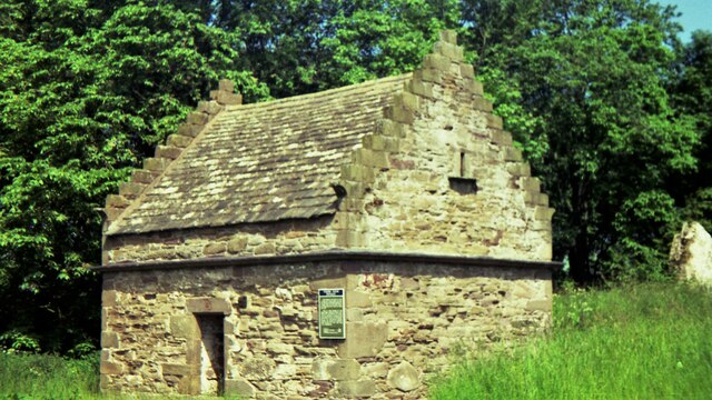
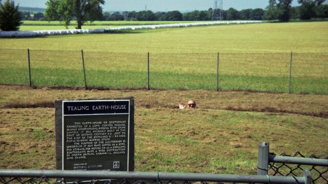
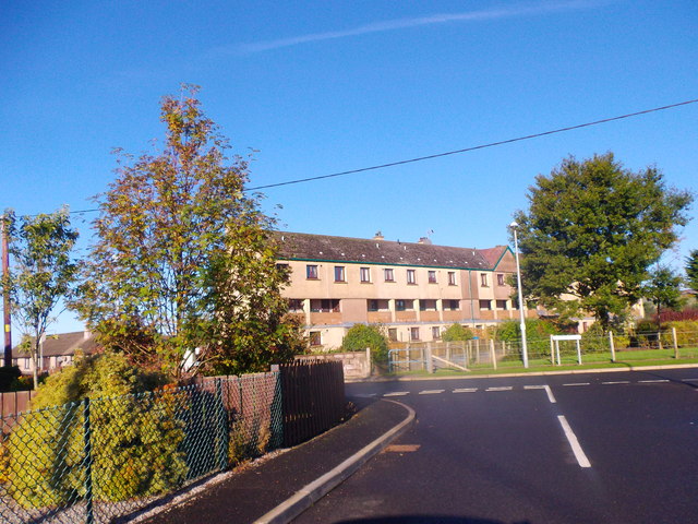
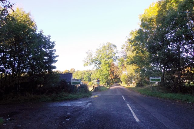
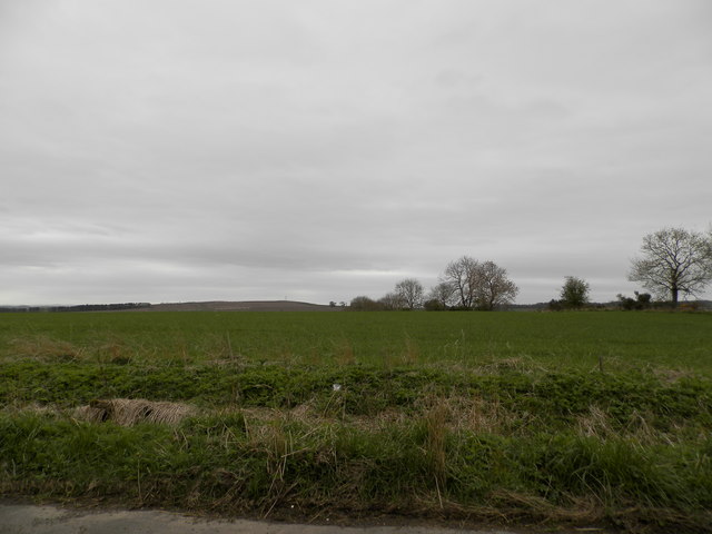
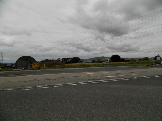
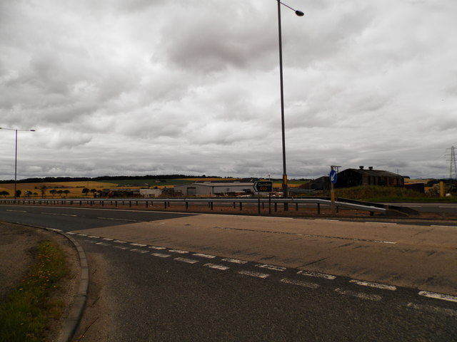
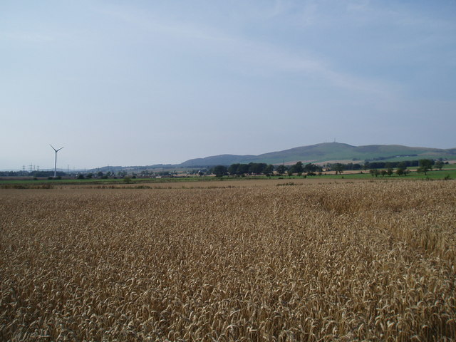
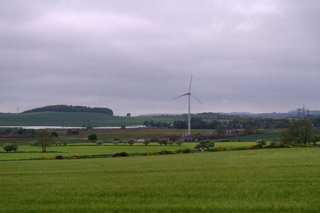
Cotton of Brighty Images

Images are sourced within 2km of 56.530548/-2.9282607 or Grid Reference NO4338. Thanks to Geograph Open Source API. All images are credited.

Minor road at Shielhill Looking westward.
Minor road at Shielhill
Looking westward.
Minor road near to Woodside Looking north-westward.
Minor road near to Woodside
Looking north-westward.
Tealing Doocot in 1992
Tealing Earth House in 1992 The depth can be gauged in this view, which apart from the sign shows little
Tealing Earth House in 1992
The depth can be gauged in this view, which apart from the sign shows little
Terraced flats in Inveraldie Dalziel Place, seen from Inveraldie Crescent.
Terraced flats in Inveraldie
Dalziel Place, seen from Inveraldie Crescent.
Entrance into Tealing On minor road from A90; DRIVE SAFELY.
Entrance into Tealing
On minor road from A90; DRIVE SAFELY.
Tealing Home Farm Former Cattle and Stables court.
Tealing Home Farm
Former Cattle and Stables court.
Dovecote, Tealing See <span class="nowrap"><a title="http://canmore.org.uk/site/33373/tealing-dovecot" rel="nofollow ugc noopener" href="http://canmore.org.uk/site/33373/tealing-dovecot">Link</a><img style="margin-left:2px;" alt="External link" title="External link - shift click to open in new window" src="https://s1.geograph.org.uk/img/external.png" width="10" height="10"/></span>
Dovecote, Tealing
See LinkExternal link
Converted steadings, Tealing Home Farm With an old mill building beyond (left). See <span class="nowrap"><a title="http://canmore.org.uk/site/266209/tealing-home-farm-mill" rel="nofollow ugc noopener" href="http://canmore.org.uk/site/266209/tealing-home-farm-mill">Link</a><img style="margin-left:2px;" alt="External link" title="External link - shift click to open in new window" src="https://s1.geograph.org.uk/img/external.png" width="10" height="10"/></span>
Converted steadings, Tealing Home Farm
With an old mill building beyond (left). See LinkExternal link
Farmland at Woodside
Shielhill Junction on A90 north of Dundee
Growing crops at Inveraldie The crop appears ready for harvest
Growing crops at Inveraldie
The crop appears ready for harvest
Farmland on the lower slopes of Lorns Hill
Farmland at Whitehouse
Tealing Dovecote The restored dovecote at Tealing from the car park adjacent.
Tealing Dovecote
The restored dovecote at Tealing from the car park adjacent.
Wind turbine and fields at Balmuir
Show me another place!

Cotton of Brighty is located at Grid Ref: NO4338 (Lat: 56.530548, Lng: -2.9282607)

Unitary Authority: Angus

Police Authority: Tayside

What 3 Words

///deflection.like.paid. Near Dundee, Dundee City

Nearby Locations

Cotton of Brighty

Related Wikis

Inveraldie

Inveraldie is a village in Angus, Scotland. It lies on the north-bound side of the A90 road, two miles north of Dundee. == References ==

Tealing

Tealing (Scottish Gaelic: Tèalainn) is a village in Angus in eastern Scotland, nestled at the foot of the Sidlaw Hills. It is just 6 miles (9.7 km) north...

RAF Tealing

Royal Air Force Tealing or more simply RAF Tealing is a former Royal Air Force station located at Tealing, Angus, Scotland. == Overview == During the Second...

Burnside of Duntrune

Burnside of Duntrune is a hamlet in Angus, Scotland. It is situated 1 km North of Ballumbie on the outskirts of Dundee, on the Fithie Burn. == References ==

Nearby Amenities

Located within 500m of 56.530548,-2.9282607
Woodville
Place: isolated_dwelling
Lat/Long: 56.5310276/-2.9281047
The Drum
Place: isolated_dwelling
Lat/Long: 56.5333704/-2.9253977
Leyshade
Place: isolated_dwelling
Lat/Long: 56.5290368/-2.9307064
Power: pole
Lat/Long: 56.5276681/-2.9338904
Power: pole
Lat/Long: 56.528382/-2.9335955
Power: pole
Lat/Long: 56.5291033/-2.933314
Power: pole
Lat/Long: 56.5295434/-2.9331389
Power: pole
Lat/Long: 56.5302757/-2.9328508
Power: pole
Lat/Long: 56.531047/-2.9328862
Power: pole
Lat/Long: 56.5318159/-2.9329283
Power: pole
Lat/Long: 56.5325787/-2.9329882
Power: pole
Lat/Long: 56.5333476/-2.9330259
Power: pole
Lat/Long: 56.5341348/-2.9330569
Power: pole
Lat/Long: 56.5291021/-2.9342051
Power: pole
Lat/Long: 56.5290997/-2.9351184
Power: pole
Lat/Long: 56.5291033/-2.9326202
Power: pole
Lat/Long: 56.5303441/-2.9320151
Power: pole
Lat/Long: 56.530426/-2.9312149
Power: pole
Lat/Long: 56.5305018/-2.9304391
Power: pole
Lat/Long: 56.5305776/-2.9296788
Power: pole
Lat/Long: 56.5306522/-2.9289207
Power: pole
Lat/Long: 56.5341348/-2.9329638
Power: pole
Lat/Long: 56.5340773/-2.9316649
Power: pole
Lat/Long: 56.5340272/-2.9303149
Power: pole
Lat/Long: 56.5339759/-2.9289672
Power: pole
Lat/Long: 56.5339343/-2.9276373
Power: pole
Lat/Long: 56.533883/-2.9262652
Power: pole
Lat/Long: 56.5338329/-2.9249264
Power: pole
Lat/Long: 56.5337717/-2.9232994
Power: pole
Lat/Long: 56.5338903/-2.9228982
Power: pole
Lat/Long: 56.532575/-2.9214241
Power: pole
Lat/Long: 56.5318893/-2.9215793
The data included in this document is from www.openstreetmap.org. The data is made available under ODbL.

Have you been to Cotton of Brighty?

Leave your review of Cotton of Brighty below (or comments, questions and feedback).