Cotton of Gardyne
Settlement in Angus
Scotland
Cotton of Gardyne

Cotton of Gardyne is a small village located in the county of Angus, in the eastern part of Scotland. Situated near the town of Forfar, Cotton of Gardyne is a rural community surrounded by picturesque countryside and farmland.
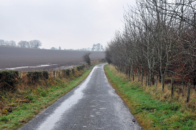
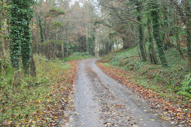
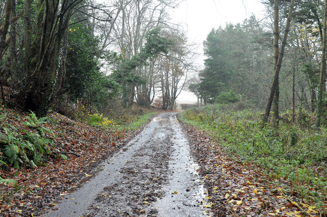
The village is known for its peaceful and idyllic setting, offering residents and visitors a tranquil escape from the hustle and bustle of urban life. The landscape is characterized by rolling hills, green fields, and meandering streams, providing ample opportunities for outdoor activities such as walking, hiking, and fishing.
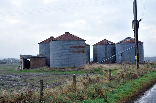
Cotton of Gardyne has a small population, predominantly made up of locals who are involved in agriculture or other rural industries. The village maintains a strong sense of community, with regular events and gatherings held at the local community center. The village also has a primary school, ensuring that the younger generation has access to education within the immediate vicinity.
Although Cotton of Gardyne is primarily a residential area, it is conveniently located near larger towns and cities. Forfar, the nearest town, offers a range of amenities including shops, restaurants, and leisure facilities. Additionally, the village benefits from good transport links, with easy access to major roads and public transportation options.
Overall, Cotton of Gardyne is an appealing destination for those seeking a peaceful and rural lifestyle, while still being within reach of larger towns and cities. Its natural beauty and close-knit community make it a desirable place to live or explore for visitors.
If you have any feedback on the listing, please let us know in the comments section below.
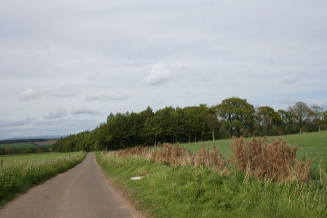
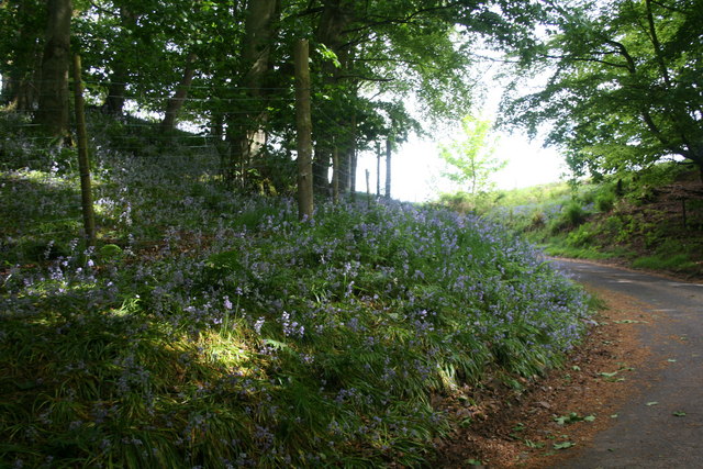
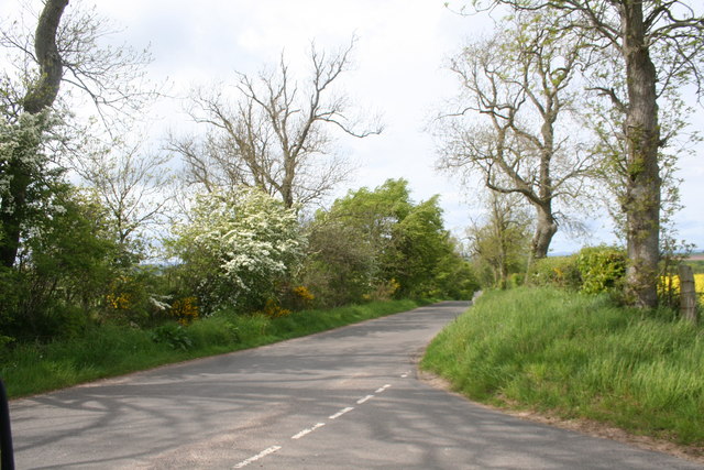
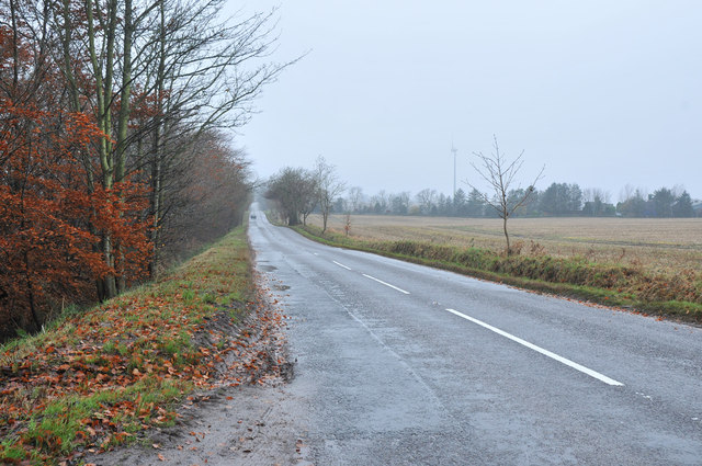
Cotton of Gardyne Images
Images are sourced within 2km of 56.612889/-2.7021804 or Grid Reference NO5747. Thanks to Geograph Open Source API. All images are credited.


Cotton of Gardyne is located at Grid Ref: NO5747 (Lat: 56.612889, Lng: -2.7021804)
Unitary Authority: Angus
Police Authority: Tayside
What 3 Words
///penny.wove.companies. Near Friockheim, Angus
Nearby Locations
Related Wikis

Gardyne Castle
Gardyne Castle is a 16th-century tower house in Angus, Scotland. It is located 2 kilometres (1.2 mi) south-west of Friockheim. The castle is still in use...

Carmyllie railway station
Carmyllie railway station served the town of Carmyllie, Angus, Scotland from 1900 to 1965 on the Carmyllie Railway. == History == The station opened on...

Redford, Angus
Redford is a hamlet in the parish of Carmyllie in Angus, Scotland. It is situated on high ground between Arbroath, on the coast, and the inland county...
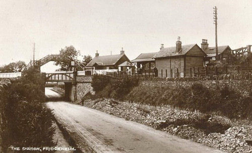
Friockheim railway station
Friockheim railway station served the village of Friockheim, Angus, Scotland from 1838 to 1955 on the Arbroath and Forfar Railway. == History == The station...
Nearby Amenities
Located within 500m of 56.612889,-2.7021804Have you been to Cotton of Gardyne?
Leave your review of Cotton of Gardyne below (or comments, questions and feedback).